Trail Overview
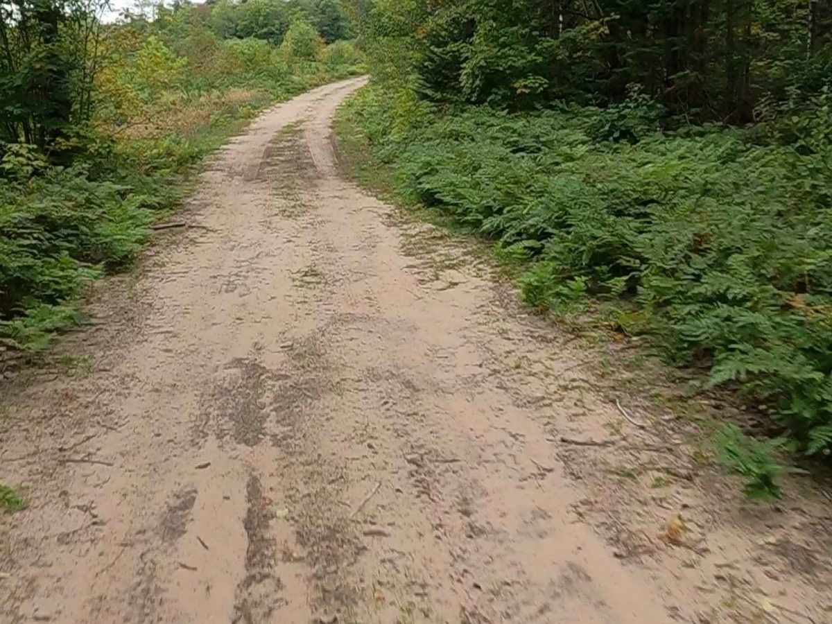
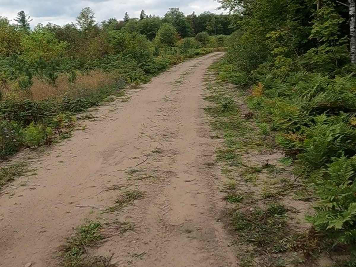
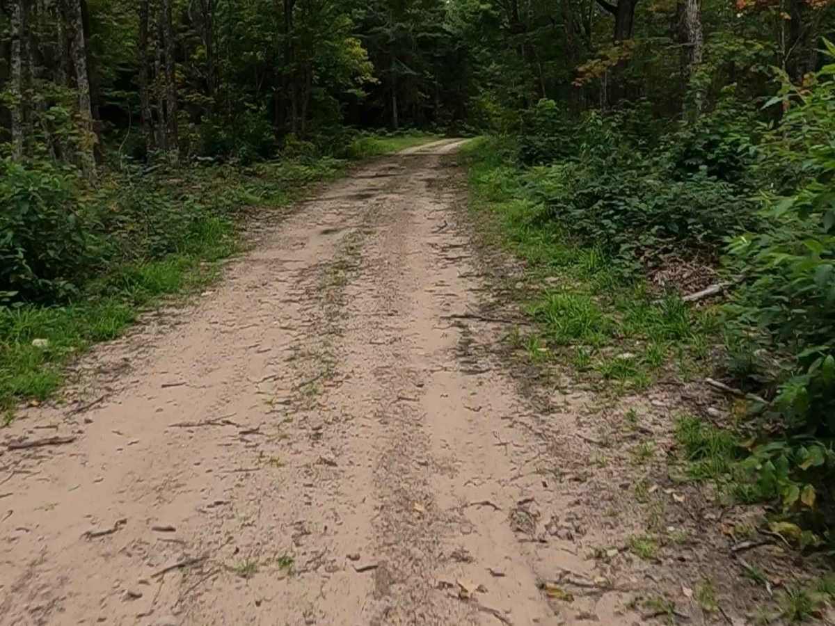
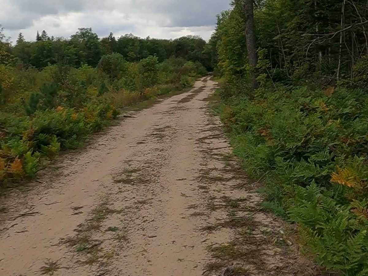
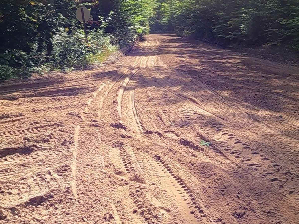
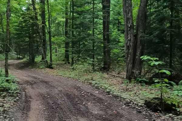
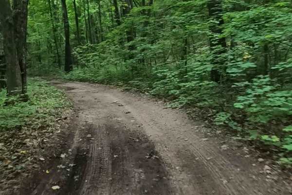
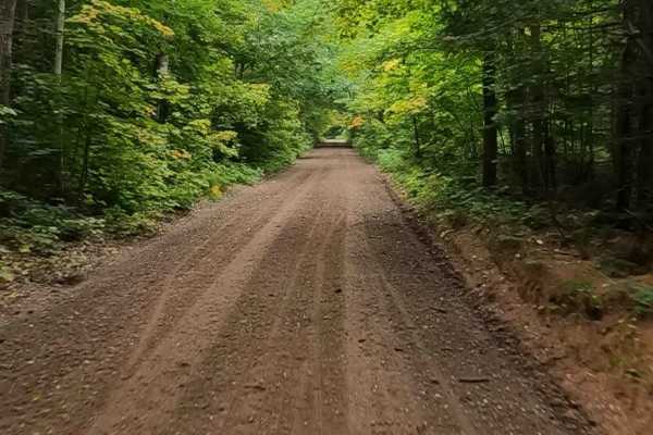
Haverstock Creek Road is a locally owned/ locally maintained, Level-2/ Level-3 forest road with a surface composition of dirt, sand, gravel, and native material. This route is currently open and in fair condition; it is not a DNR road (ORV use is subject to local government regulations) and connects Michigan Route 77 to Lavender Lake Road and De Mull Creek Trail. Description created on September 10, 2025.
Difficulty
Dirt, gravel, sandy road, typically unmaintained after rain or snow, that may give rise to shallow water crossings and obstacles under 12 inches on the trail, including small ledges. This road is typically one to two vehicles in width, with some portions narrowing down to a "Two Track" road.
History
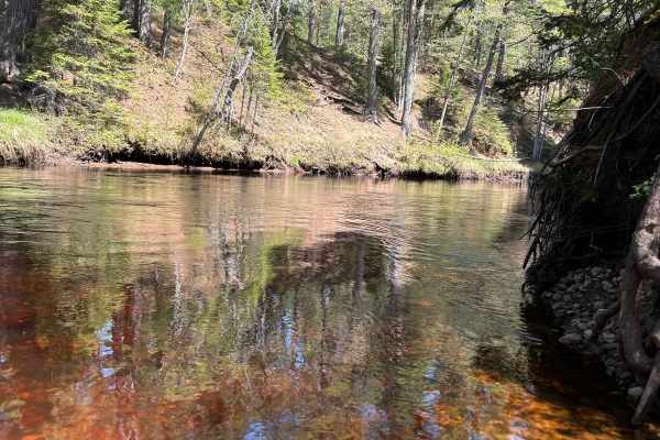
Haverstock Creek Road, situated in the scenic area just south of Grand Marais, Michigan, sits in a historically rich region defined by late 19th-century logging, particularly near the nearby Log Slide. This area once featured massive white pine harvesting, with wooden chutes used to transport timber down the steep dunes. Logging History: The area near Lavender Lake and the Log Slide was vital for the logging industry in the late 19th and early 20th centuries. The Log Slide: A wooden chute was constructed to transport timber down the steep dunes, where it was then loaded onto ships for transportation. Grand Sable Dunes: The location is adjacent to the Grand Sable Dunes and offers views of the historic Au Sable Point Lighthouse to the west. Development: The region, including the area around Grand Marais, was settled for industries such as shipping and logging, with the village itself established around 1882.