Trail Overview
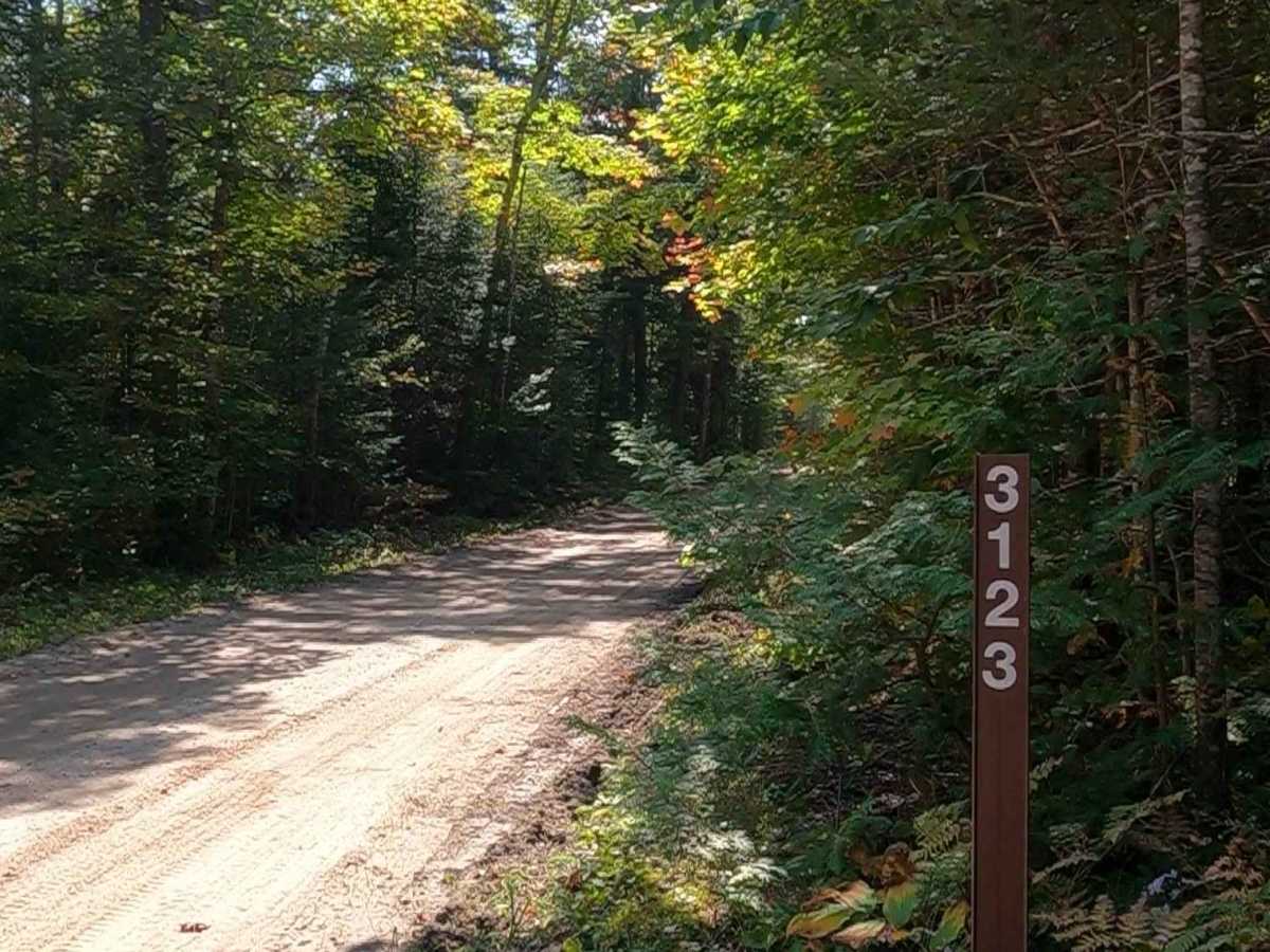
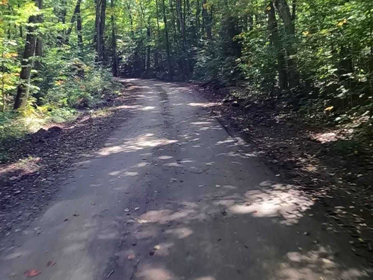
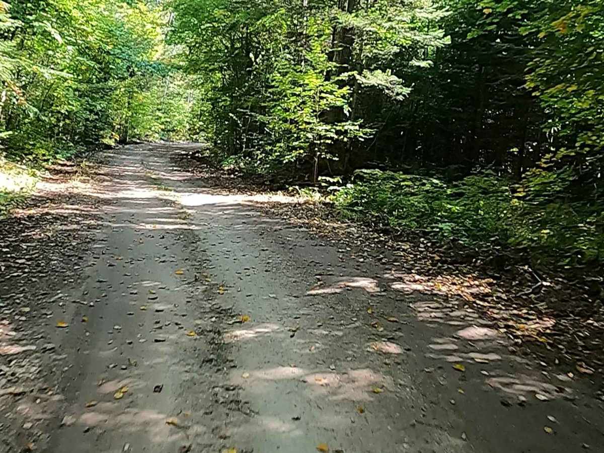
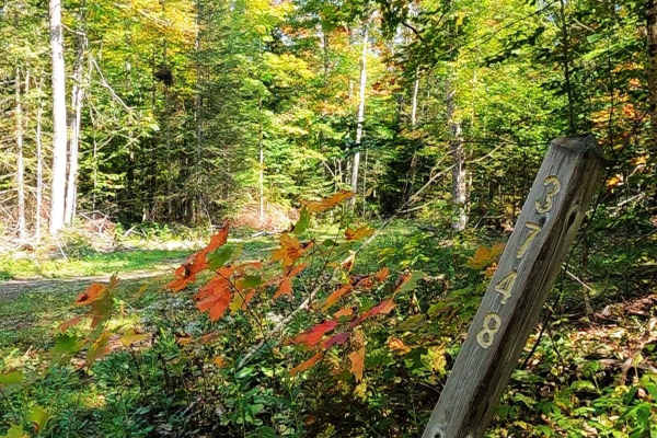
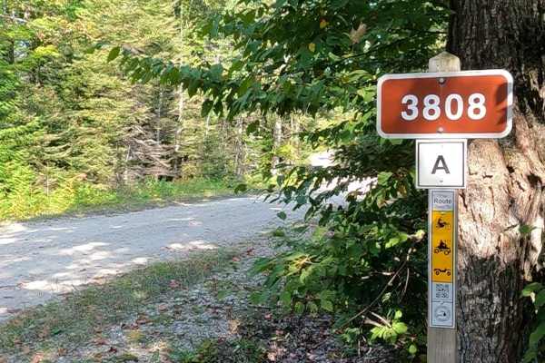
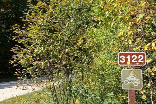
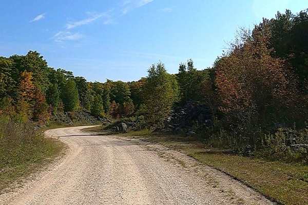
Federal Forest Service Road (FS) 3123, also known as Quarry Road, is a federally owned/ locally maintained, Level-2/ Level-3 forest road with a surface composition of dirt, sand, gravel, and native material. This route is currently open and in fair condition; it is not a DNR road (ORV use is subject to local government regulations). It traverses along the west bank of the North Branch Carp River, connecting FS 3329 -Taylor Creek Road and FS 3748 - East Loop to FS 3122 -Kenneth Road. Description created on September 17, 2025.
Difficulty
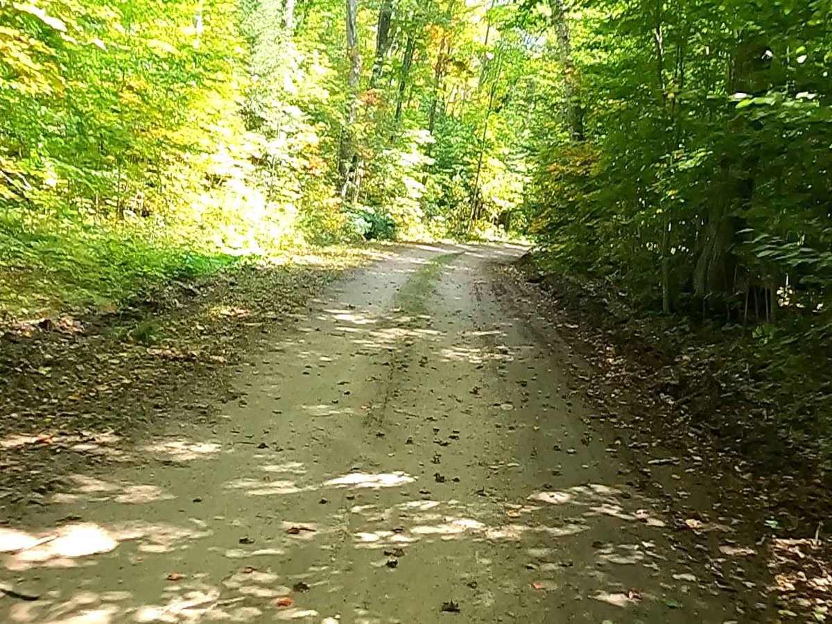
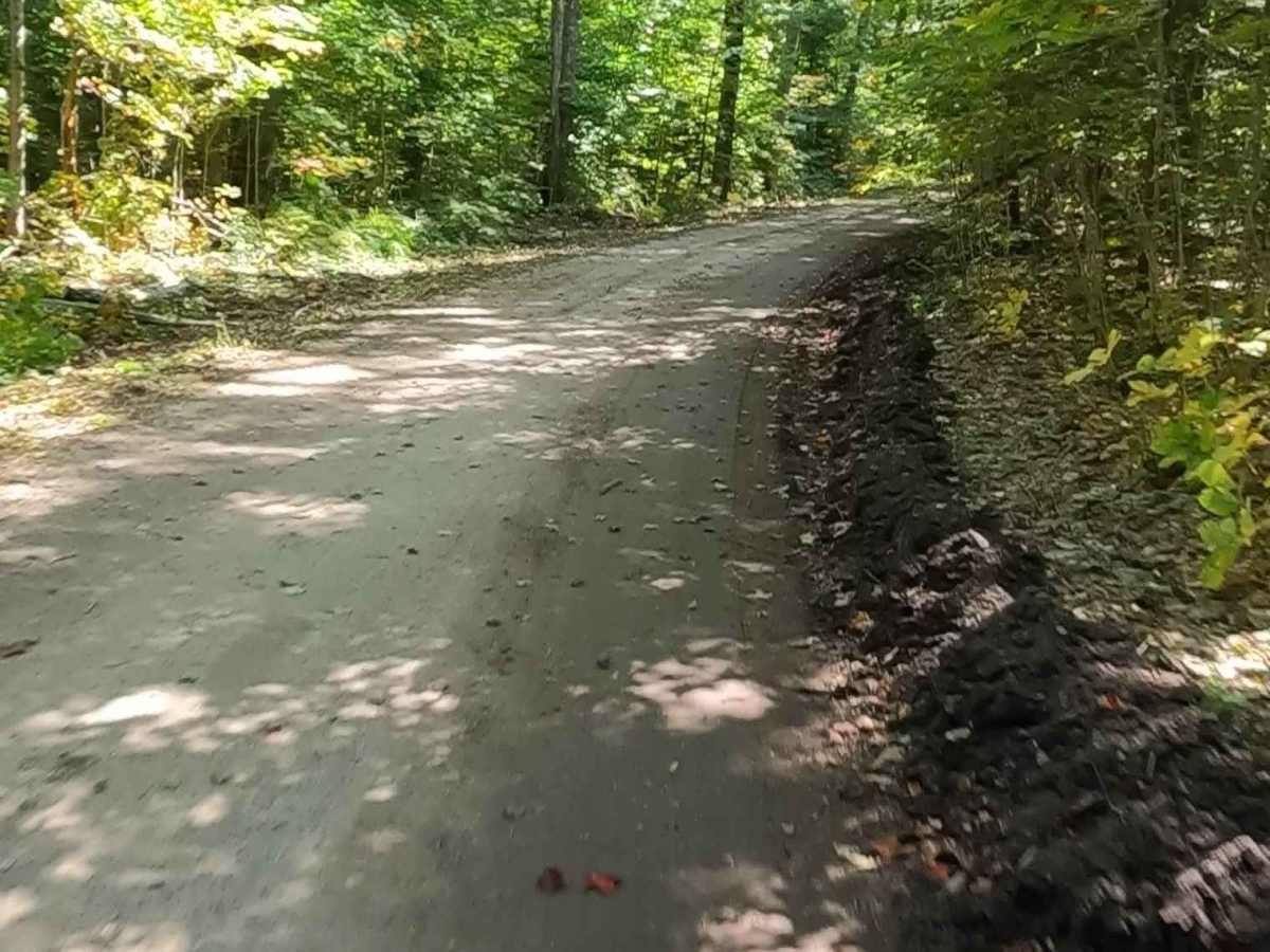
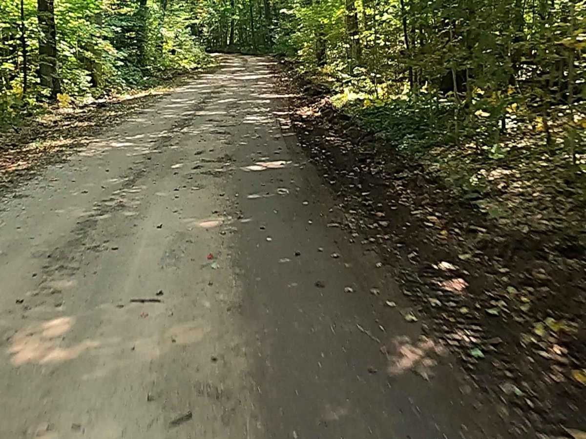
Dirt, gravel, sand, and a rooted path, typically unmaintained after rain or snow, that may give rise to shallow water crossings and obstacles under 12 inches on the trail, including small ledges. This route narrows down to a "Two-Track" that is one vehicle in width.
History
Taylor Creek, located east of this route, is situated in a region with deep Native American, fur trade, and fishing history dating back to 1671. The area is part of the Hiawatha National Forest, with nearby sites historically connected to the Chippewa and the Crane Clan Village, which was documented in the mid-19th century. The area around Taylor Creek is located in T47N R6W, Section 10, often referred to within US Forest Service inventories in the context of the nearby Crane Clan Village, a historic-period Chippewa site.