Trail Overview
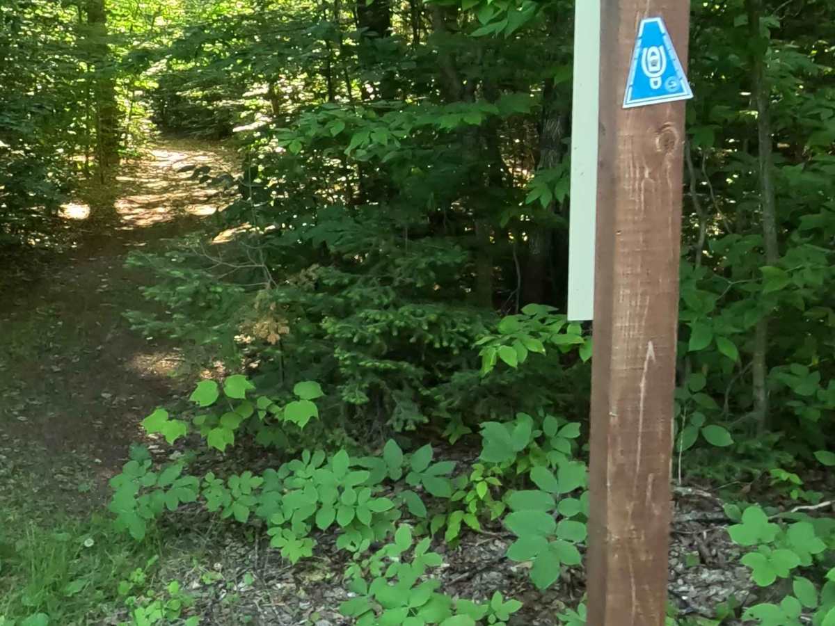
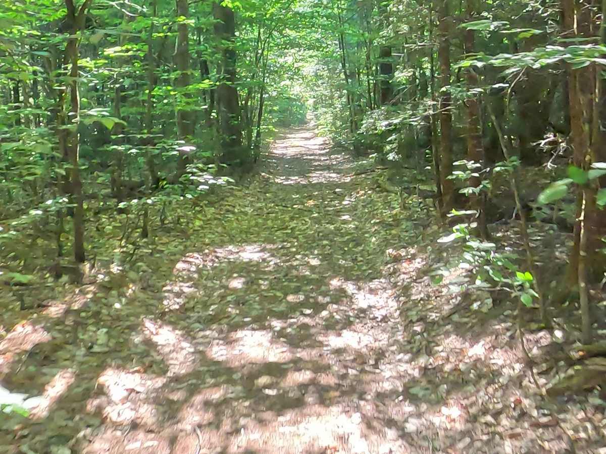
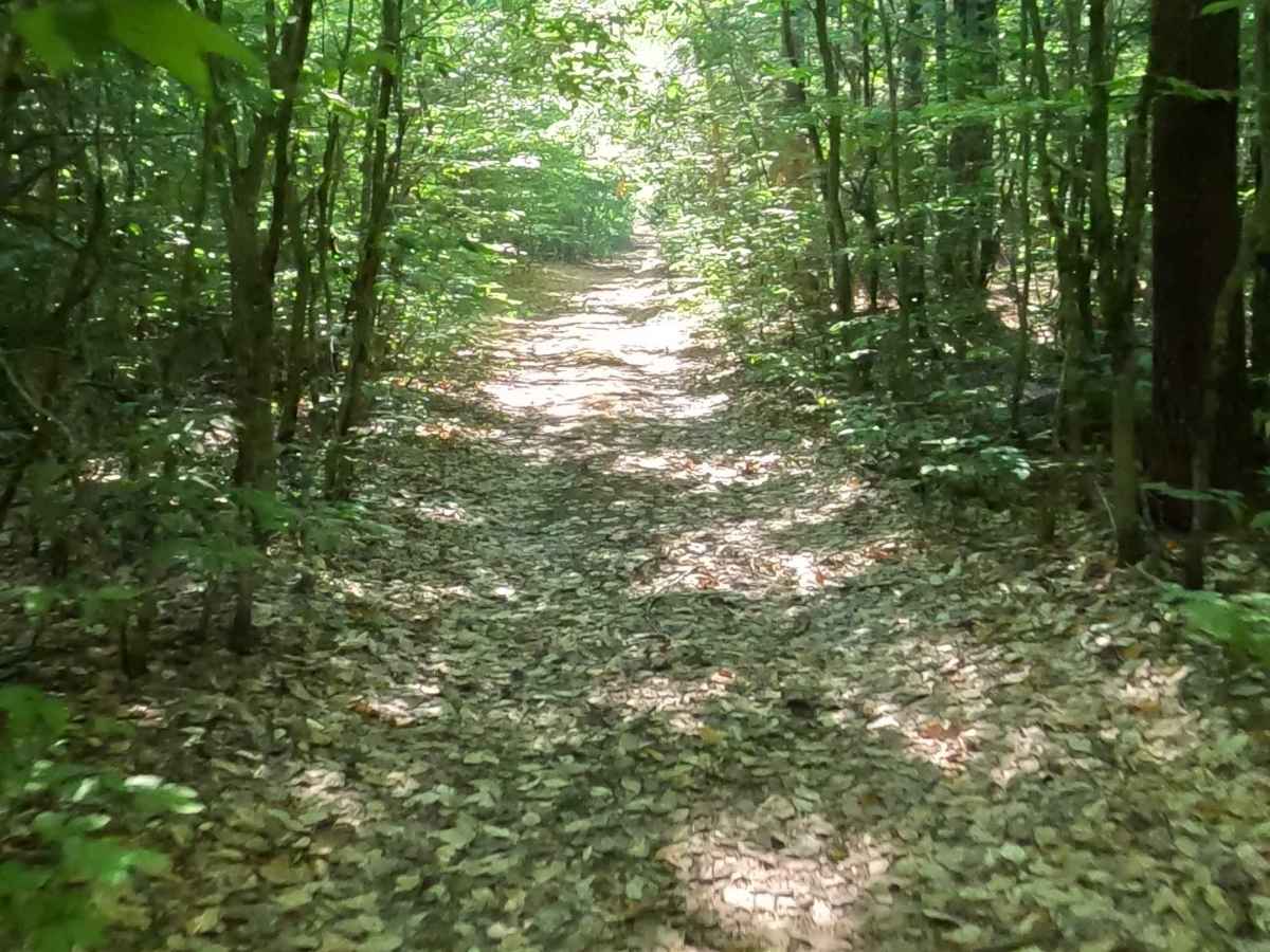
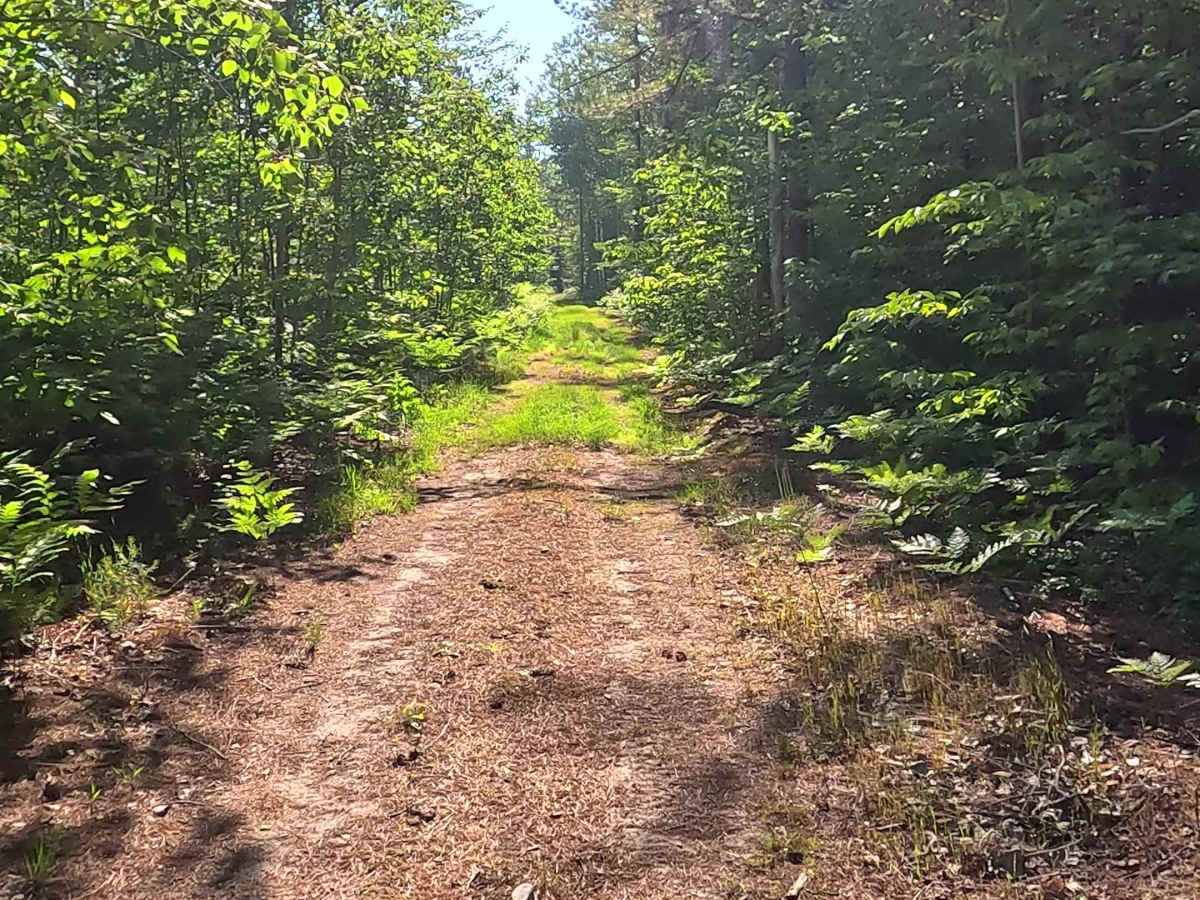
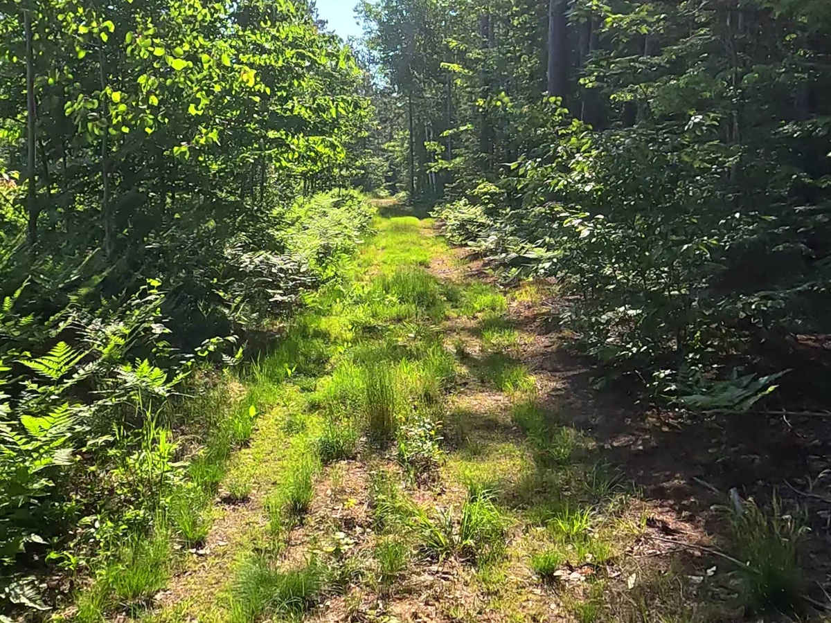
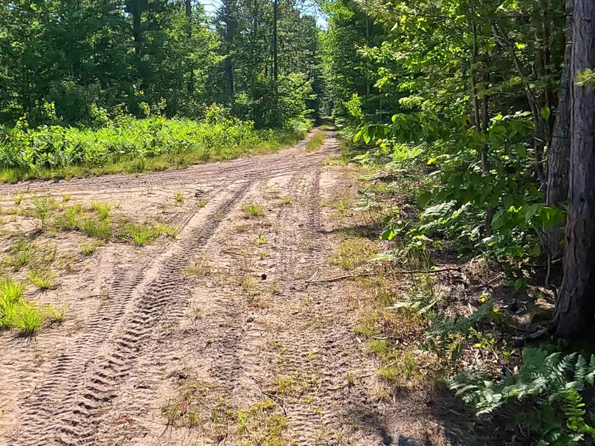
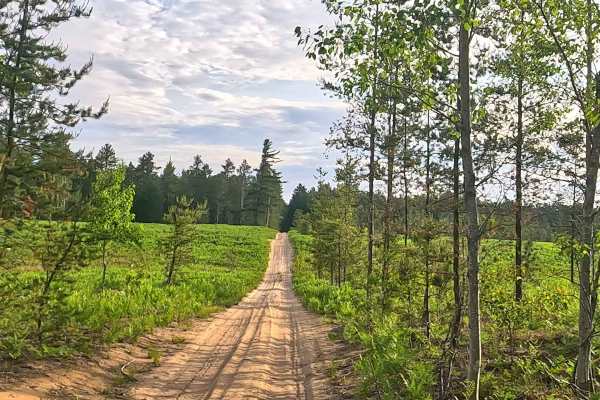
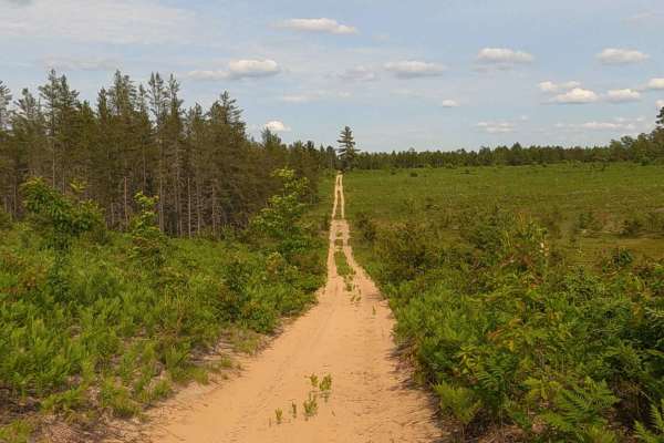
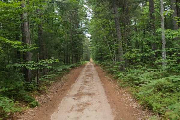
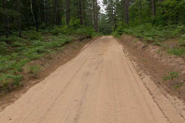
Pretty Lake Trail, also known as Ohio Camp Road, is a state owned/ locally maintained, Level-2/ Level-3, forest access route with a surface composition of sand, dirt, and native material (ex: leaves, pine needles, pine cones, sticks, branches). This route offers access to forested "Two-Tracks", Hiking and Equestrian trails within the deep wilderness of the Pretty Lake State Forest Campground area. Connecting Pretty Lake Road to County Road 418.
Difficulty
Sand, dirt, gravel route typically unmaintained after rain or snow that may give rise to water crossings over 12 inches and obstacles such as tree/ tree branches and river overflow crossings.
History
The Department of Natural Resources (DNR) Newberry Forest Management Unit maintains a formal "History of Pretty Lakes Area" document tracking communications and conservation actions for the tract going back to 1972. The landscape features a chain of nine interconnected small glacial lakes, marshes, and bogs surrounded by old-growth or mature stands of white pine, spruce, cedar, and poplar. Portions of the region, which includes the Pretty Lakes Pinery Ecological Reference Area (ERA), have been managed as an unofficial and later designated "Quiet Area".