Trail Overview
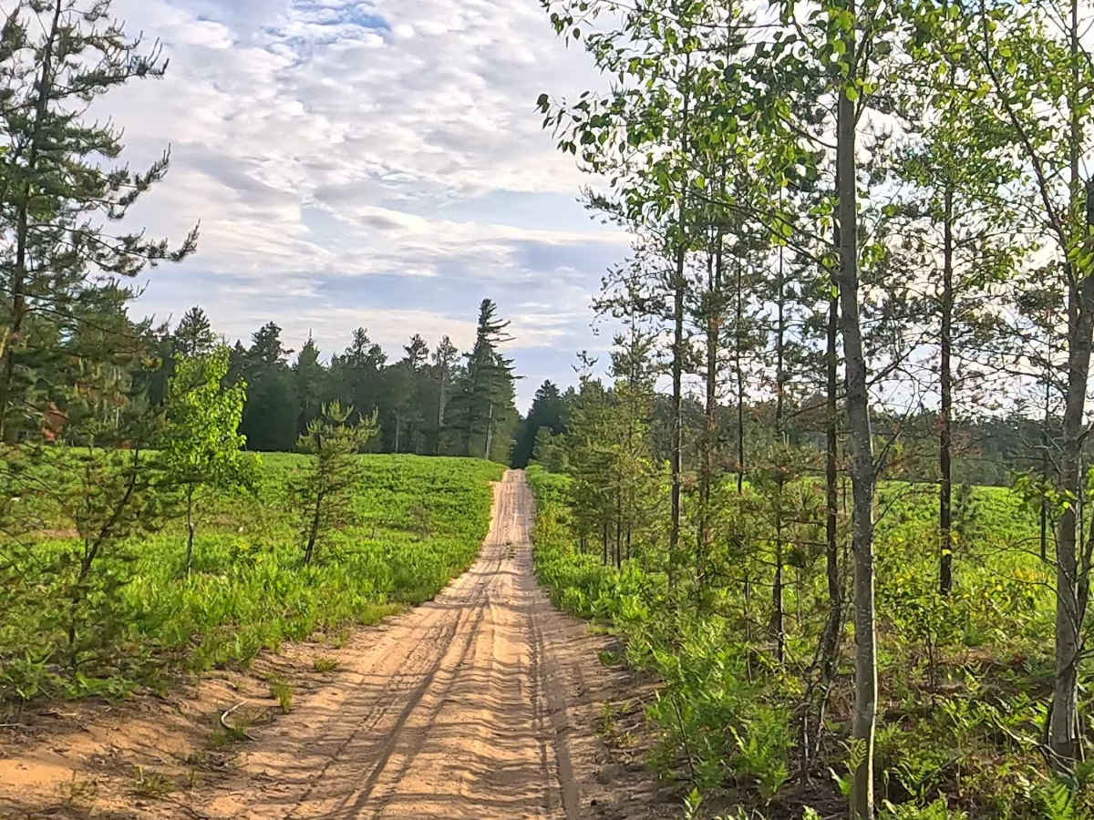
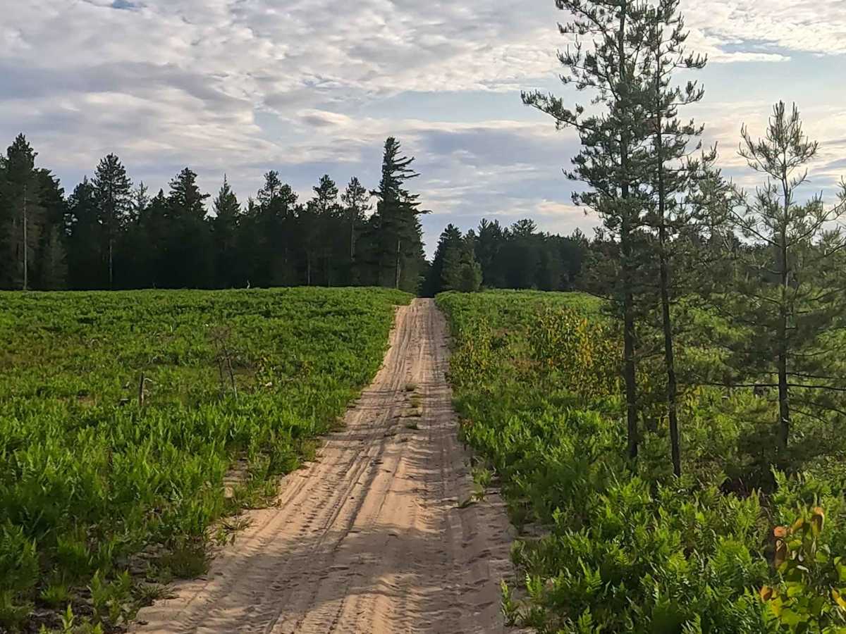
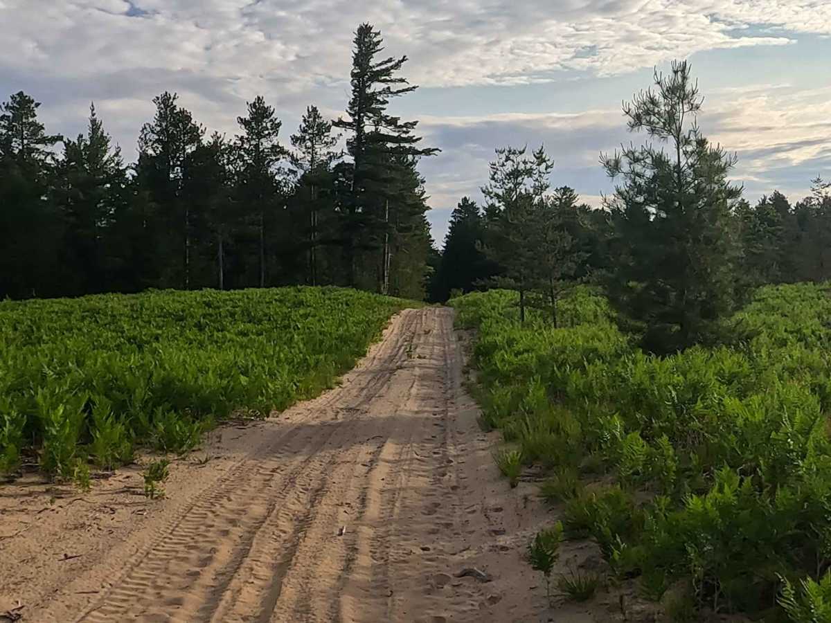
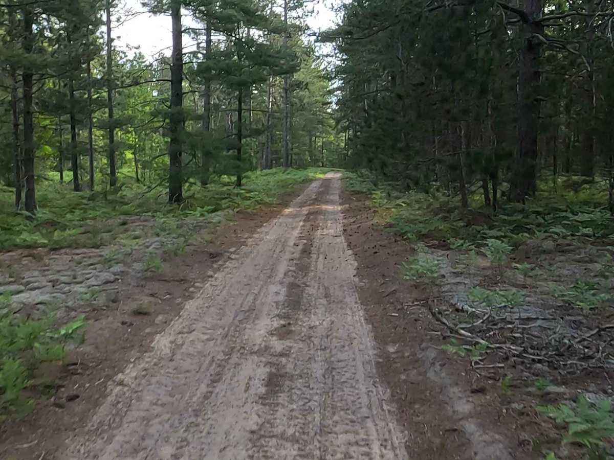
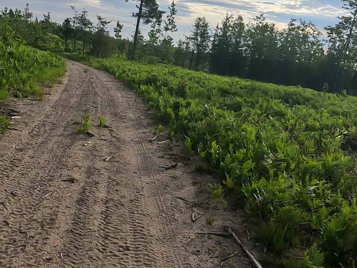
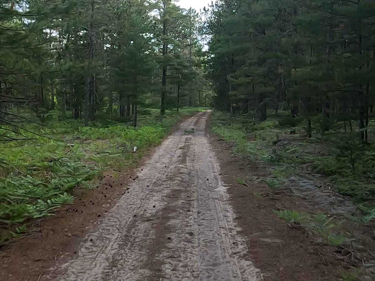
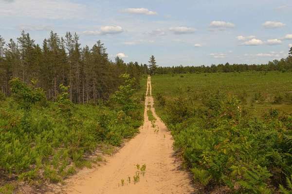
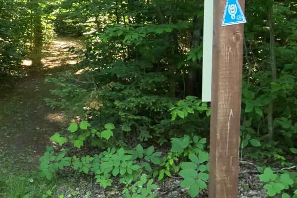
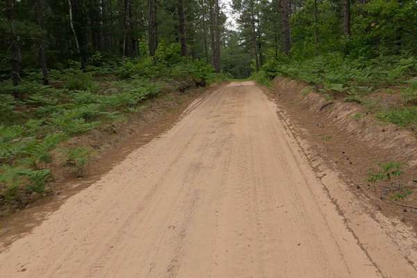
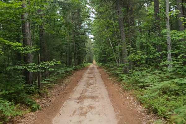
North Holland Lake Road is a state owned/ locally maintained, Level-2/ Level-3, DNR Road Open to ORVs with a surface composition of sand, dirt and native material (ex: leaves, pine needles, pine cones, sticks, branches and rocks). This route begins due east of Holland Lake and offers access to forested "Two-Tracks", Hiking and Equestrian trails within the deep wilderness south of Muskallong Lake and between Blind Sucker Flooding and the Two Hearted River. North Holland Lake Road - FS 37647 acts as a dual-purpose infrastructure corridor. While the Michigan DNR maintains it for wildfire control and logging access, it is heavily integrated into the Upper Peninsula's tourism economy. Transforming a historic emergency route into a primary thoroughfare for off-road recreation.
Difficulty
Sand, dirt, gravel route typically unmaintained after rain or snow that may give rise to water crossings under 12 inches and obstacles such as trees/tree branches and river overflow crossings.
History
North Holland Lake Road in Luce County near Newberry, Michigan, is a historic logging and fire-management access route winding through state forest lands surrounding Holland Lake. The region surrounding North Holland Lake Road features historical records of 19th- and early 20th-century logging camps tied to Newberry's rapid growth as a major timber and iron-smelting hub. Near Holland Lake, an active fire lookout historically known as the "West Tower" once stood to monitor the dense pine and hardwood compartments. While the tower itself was removed when active spotting ceased, the original concrete footings remain intact near the lake. Today, the road provides access to the Holland Lake State Forest Campground and Headquarters Lake, serving a designated trout fishery stocked with brook trout. It also intersects vital regional trail systems like the Pine Ridge ORV Trail and the Grand Marais snowmobile route.

 Offroad