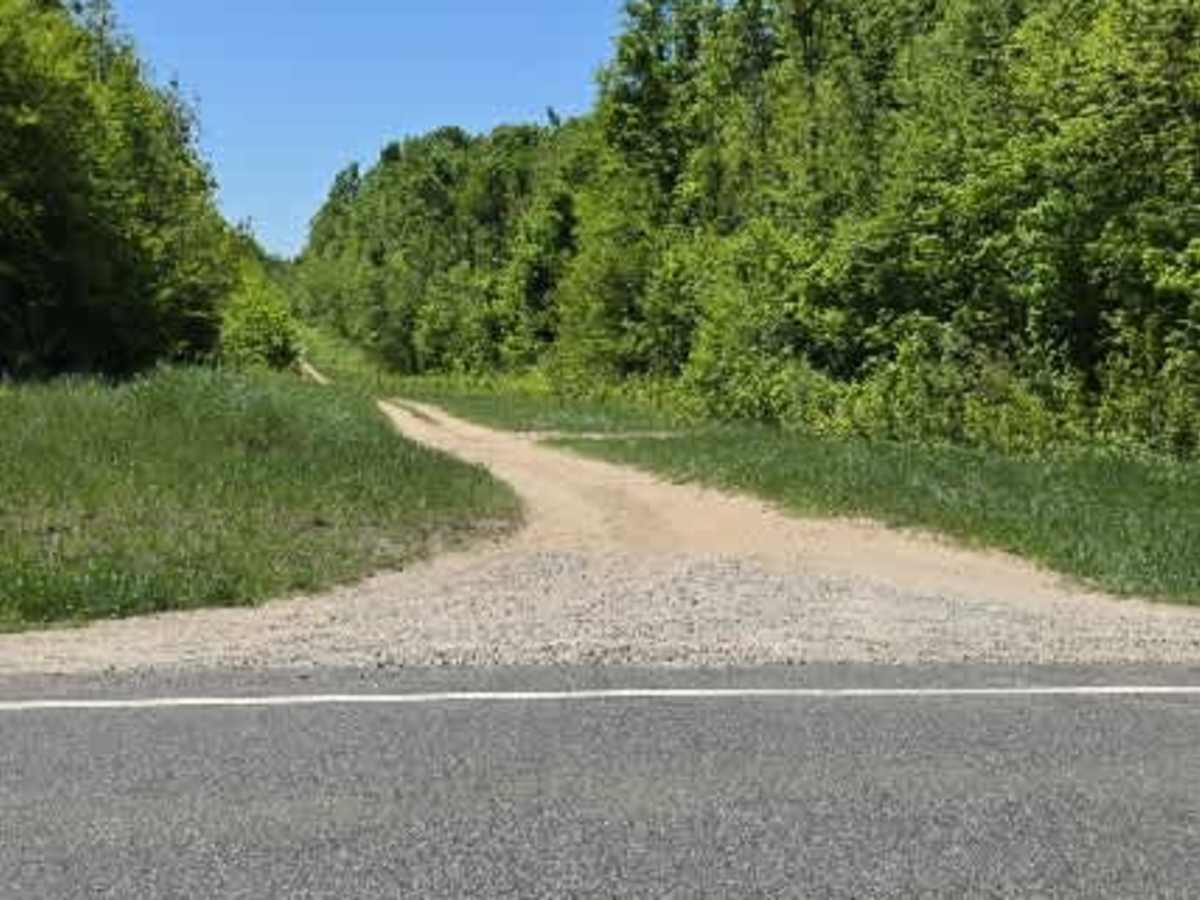
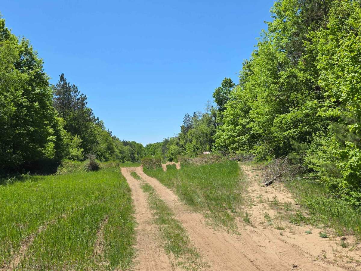
Trail Overview
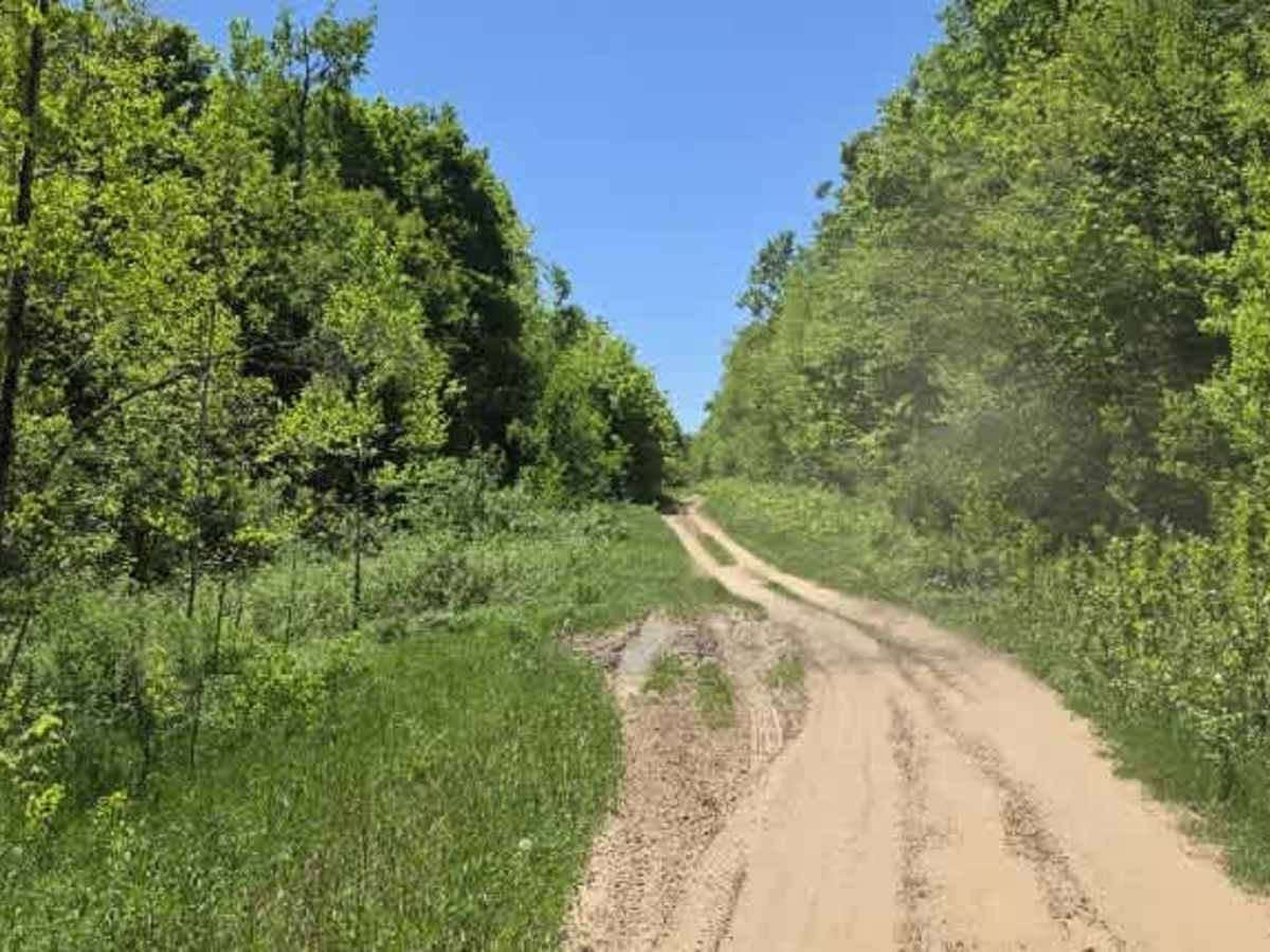
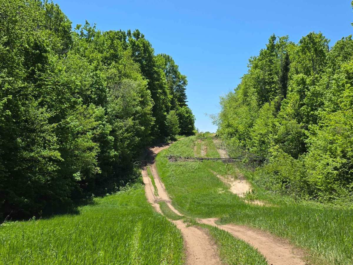
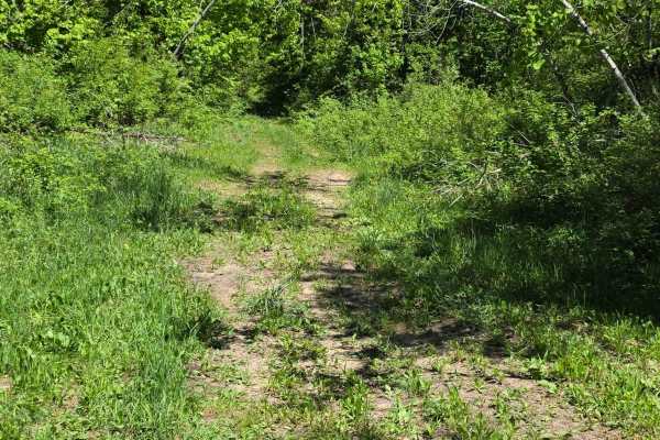
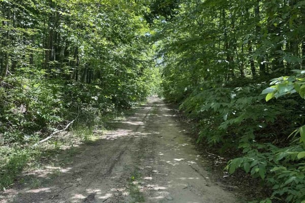
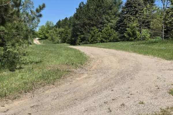
This wide-open gas line corridor blends sand and grass with scattered loose rock, giving it a constantly changing surface depending on where you drop your tires. It runs fast in sections, but never really smooth—bumpy stretches and rolling hills keep you working the wheel the whole way through.
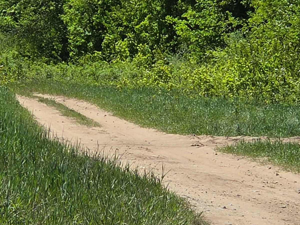
Along the edges of the trail are softer, muddy cut-ins you can intentionally drop into if you want a more playful, technical line. There are also optional side tracks that step things up if you’re looking for more challenge, instead of just cruising the main route.
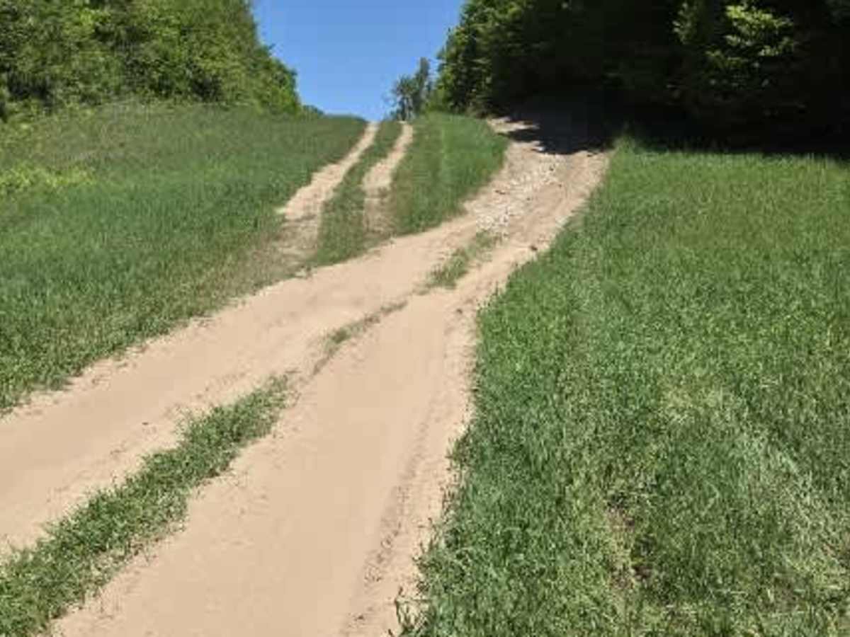
One of the more notable features is a sustained incline/decline section with around 20° of off-camber lean, which really tips the vehicle into the slope and demands steady throttle and careful line choice. Elsewhere, the trail repeats milder but still engaging off-camber stretches around 17°, woven into rolling terrain.
It connects several key routes, making it more of a corridor than a destination trail. It links between Mitchell Road and County Line Road, while also intersecting the Newson Loop and the Weber Lake area—giving you multiple options to branch off, extend the ride, or loop into more wooded sections depending on your route choice.
Overall, it’s a fast-moving but dynamic trail: open enough to relax, but with enough uneven ground, slope, and optional technical lines to keep it from ever feeling flat.