Trail Overview
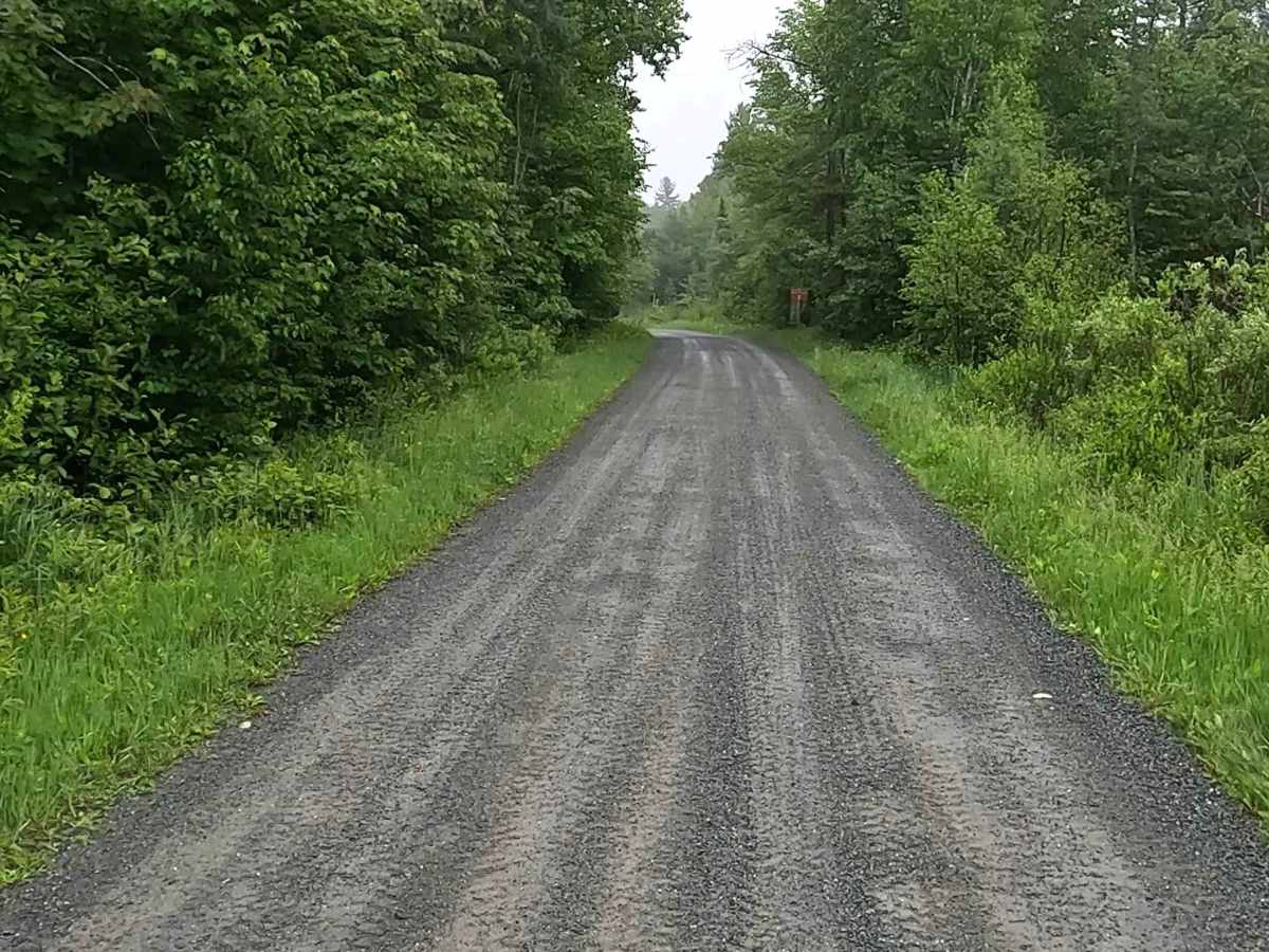
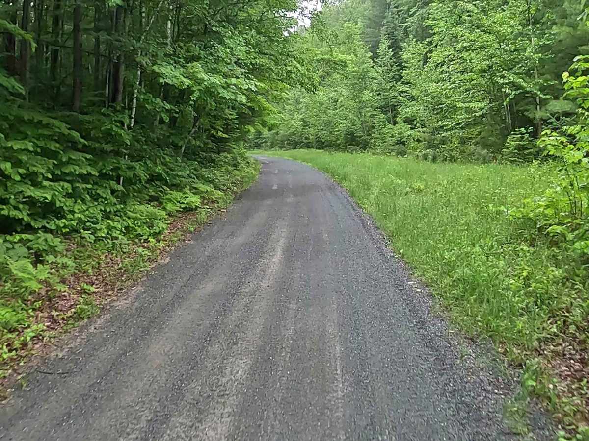
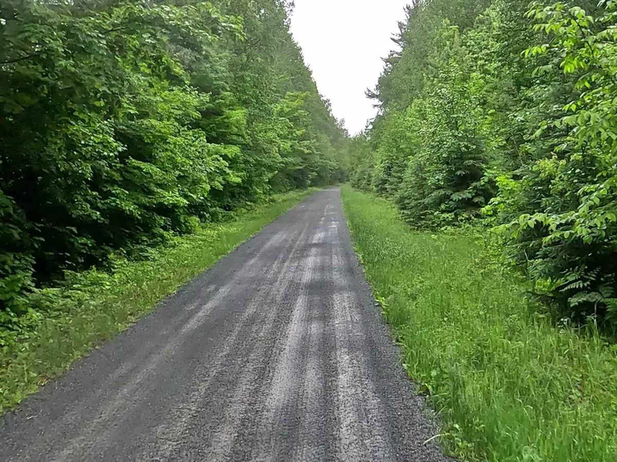
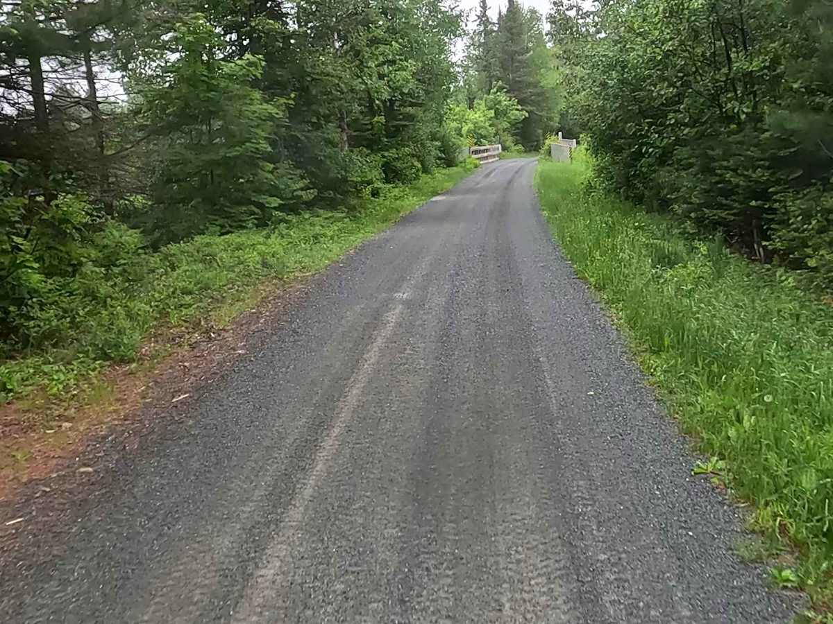
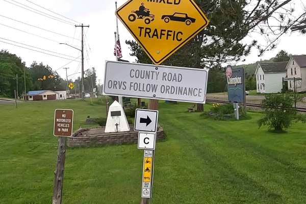
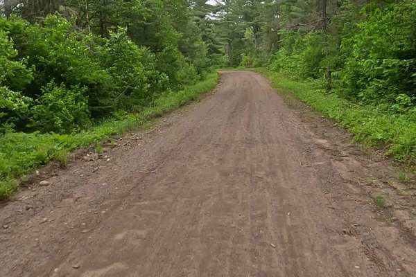
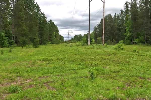
This 11-mile point-to-point off-road trail offers a scenic and accessible journey through the heavily wooded forests of Michigan's Upper Peninsula for ATVs and off-road motorcycles up to 72 inches wide. Serving as a crucial connector in the broader Michigan Department of Natural Resources ORV Route C system, this trail follows a mix of sandy soil, loose rocks, and hard-packed dirt. The trail provides an engaging but manageable ride, though conditions can become more challenging after heavy rain or snow, potentially creating deep mud, slick grass, and water crossings.
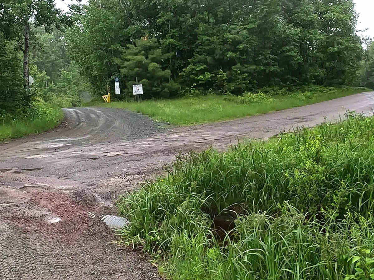
Tracing the historic Soo Line Railroad grade, the route passes through former mining and timber rail corridors managed locally by the Iron Ore Heritage Recreation Authority. Drivers must be prepared for obstacles up to 12 inches in size, including loose rocky sections and deep sand pockets that require steady momentum. A valid Michigan ORV license and trail permit are required to access this designated route, and users should stay mindful of seasonal closures or specific vehicle restrictions. Convenient access points are located at the south entrance off E Road near Republic and the north entrance on Graphite Street in Champion, making it easy to stage and set out on this historic Upper Peninsula adventure.
Difficulty
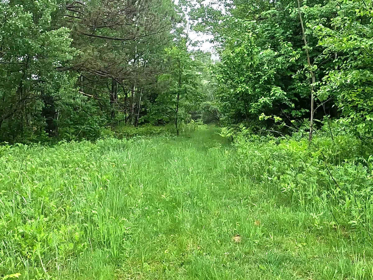
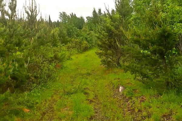
Sand, dirt, rock, grass route, unmaintained after rain or snow that may give rise to deep water crossings and obstacles less than 12 inches on the trail, including water, sand, loose rocks, and mud. This route is a designated 72-inch ORV trail for ATVs and off-road motorcycles.
History
This section of ORV Route C in Marquette County is closely tied to the historic Soo Line Railroad grade. Locally managed by the Iron Ore Heritage Recreation Authority (IOHRA), the trail stretches across former mining and timber rail corridors that historically connected Negaunee, Ishpeming, and Republic.

 Offroad