Trail Overview
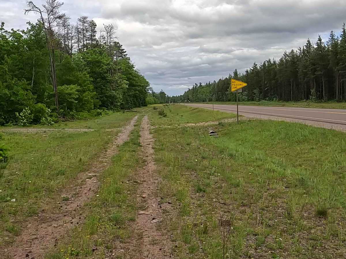
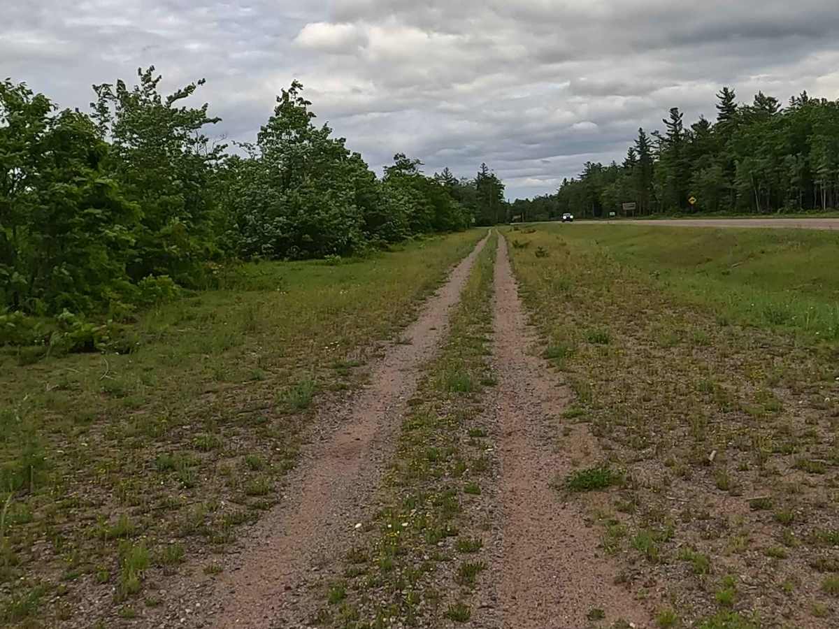
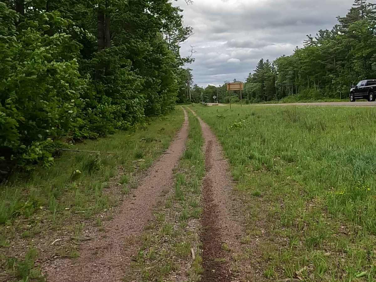
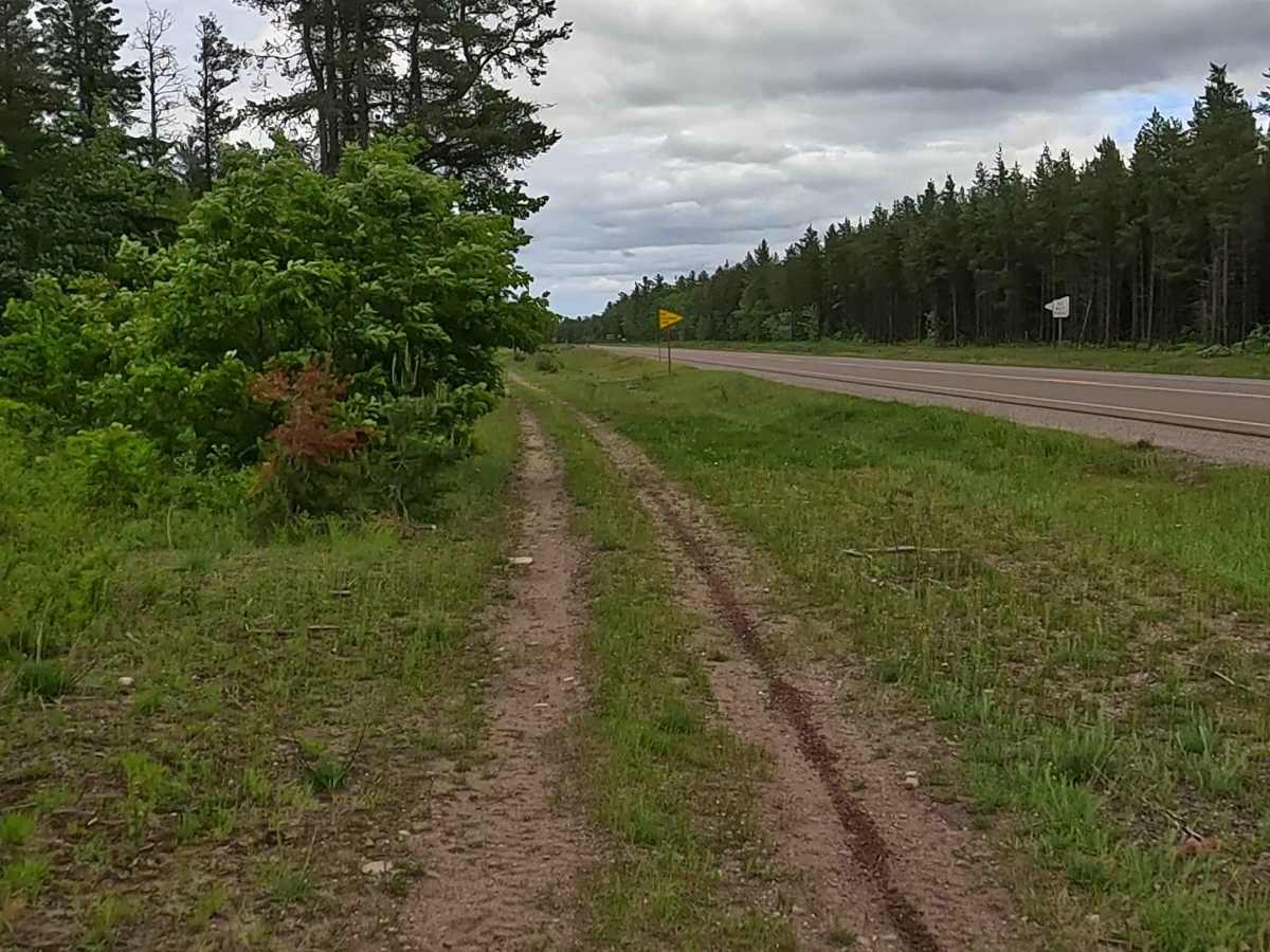
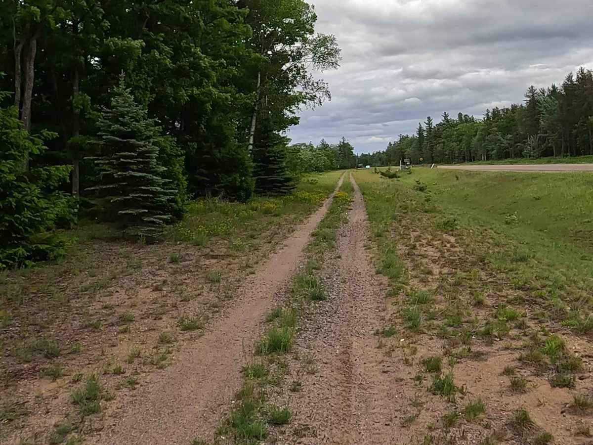
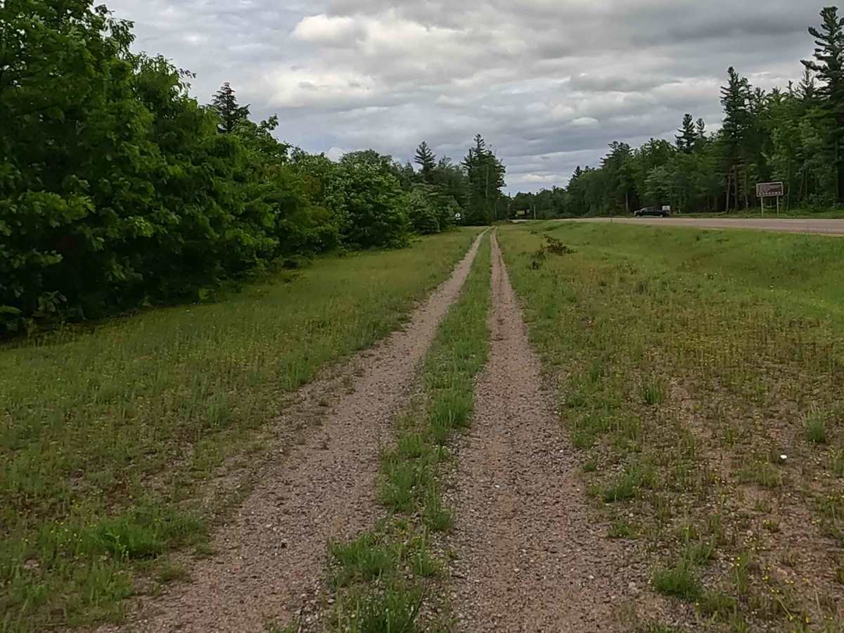
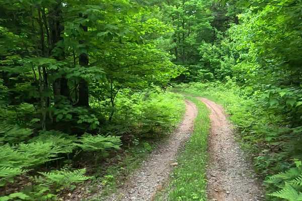
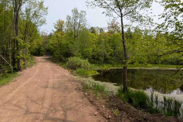
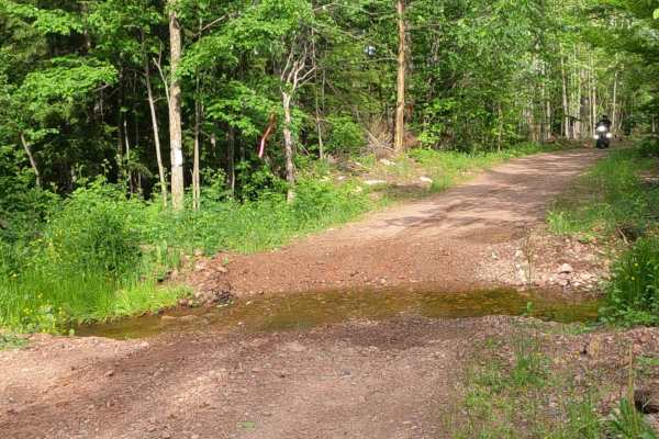
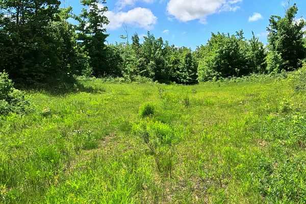
Old Triple A Road is a state owned/ locally maintained, Level-2/ Level-3, "There-and-back" forest access route with a surface composition of sand, dirt, and native material (ex: leaves, pine needles, pine cones, sticks, branches). This route intertwines with the modern-day Triple A Road, offering access to forested "Two-Tracks" ORV trails and footpaths within the deep wilderness of the Huron Mountain Range.
Difficulty
Sand, dirt, gravel, grass route typically unmaintained after rain or snow that may give rise to water crossings < 12” and obstacles such as tree/ tree branches and Little Pup Creek crossing.
History
The Old Triple A (AAA) Road in Big Bay, Michigan, is a remote and historically significant logging and transport route running through the rugged wilderness of Marquette County and the Yellow Dog Plains. It is most famous for its ties to Henry Ford and the halted construction of M-35. In the 1920s, the state planned to route M-35 directly through the remote Huron Mountains in northern Marquette County. The wealthy members of the exclusive Huron Mountain Club were highly opposed to this intrusion into their private wilderness. With the financial and political assistance of Henry Ford—who had purchased extensive timber lands and mill operations in Big Bay—construction of the highway was permanently halted. This interference left a massive gap in the M-35 routing, and the section of the route in question was eventually reorganized into local county roads. Today, the unpaved Triple A Road serves primarily as a rugged logging route and a scenic, off-the-beaten-path drive popular for 4-wheeling and outdoor recreation. The road contains sections of deep sand, rough terrain, and potholes, meaning a high-clearance 4WD vehicle is typically recommended to safely navigate it.