North Route to Marble Head

Total Miles7.6
Technical Rating
5Moderate
Best TimeSpring, Summer, Fall, Winter
Trail TypeHigh-Clearance 4x4 Trail
Accessible By
Open Trail Map

Trail Overview

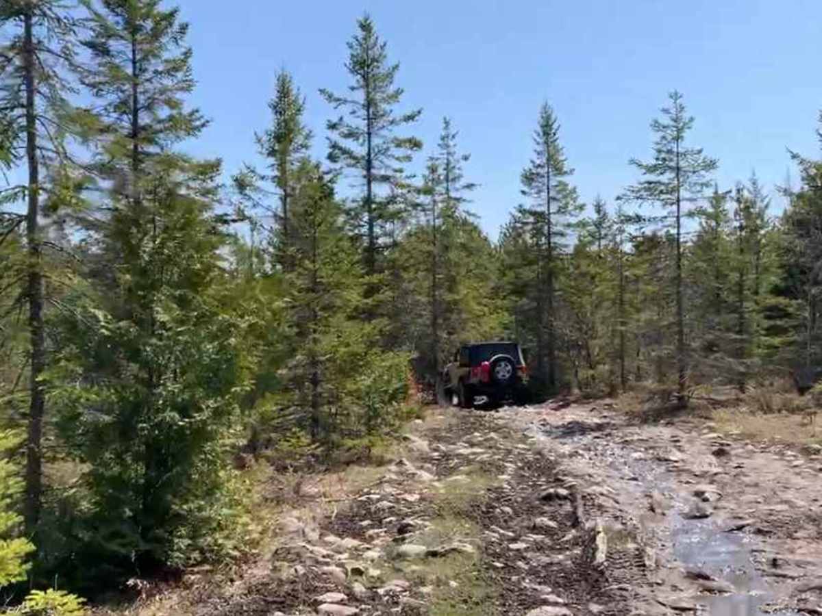
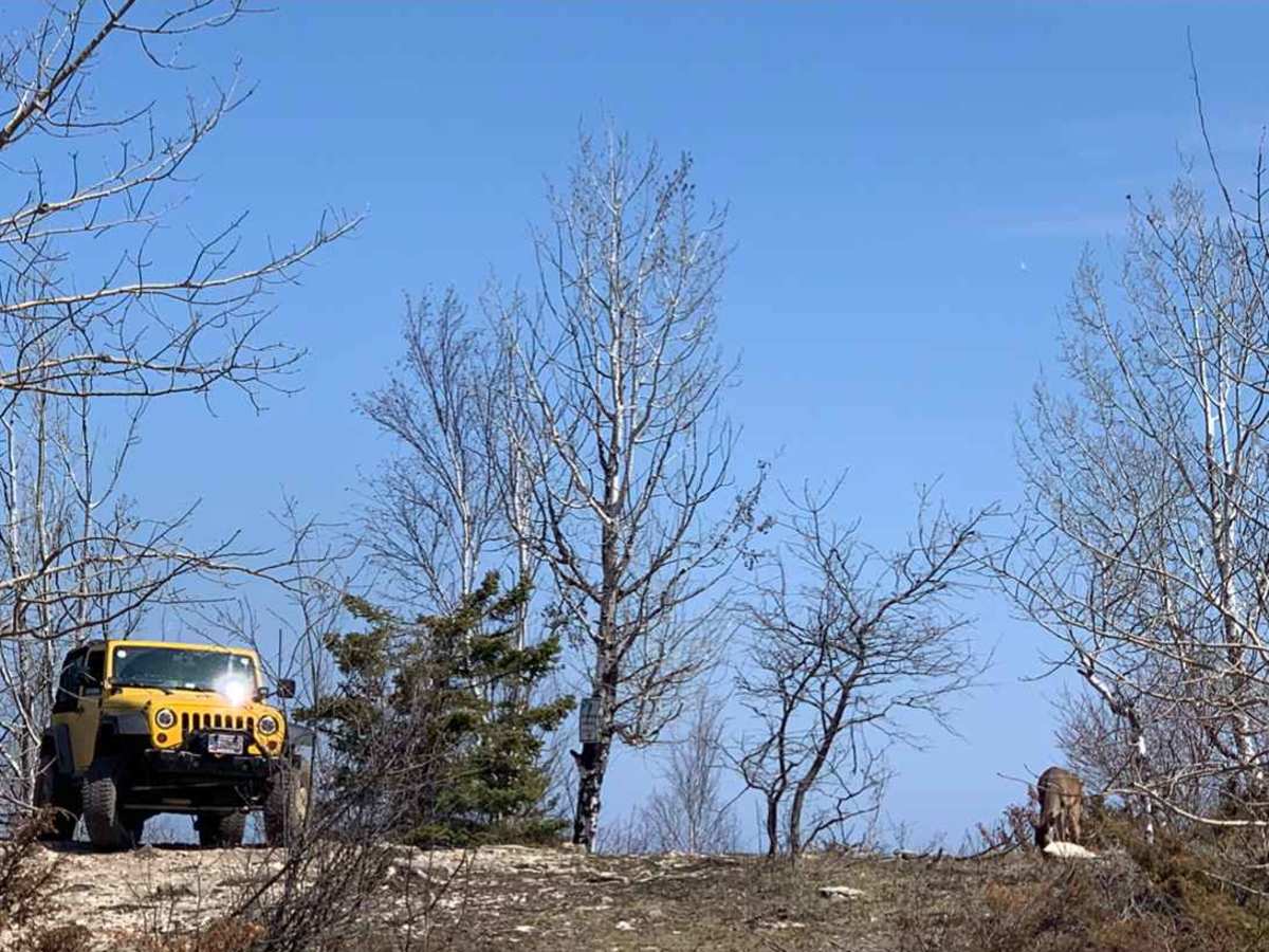
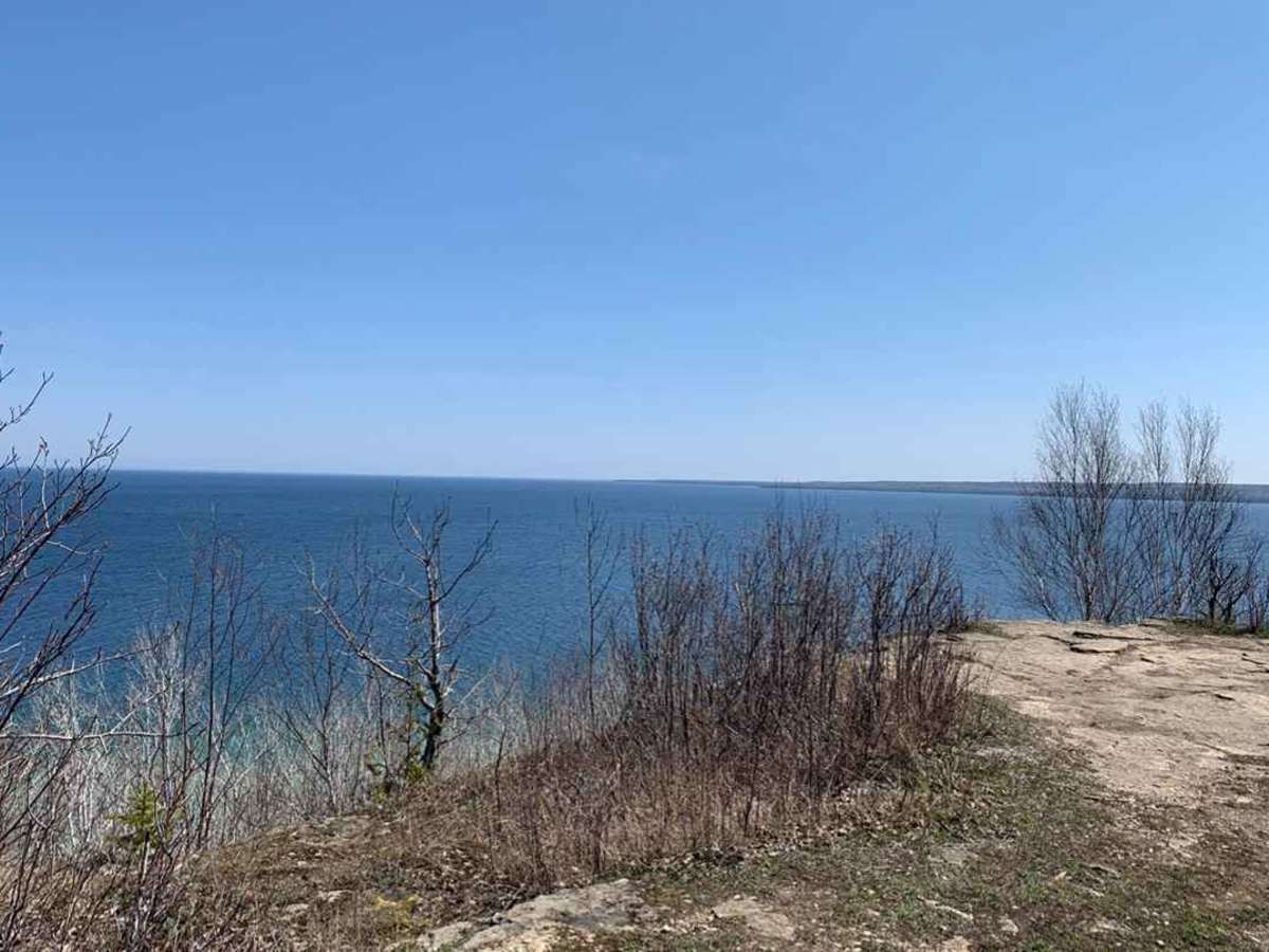
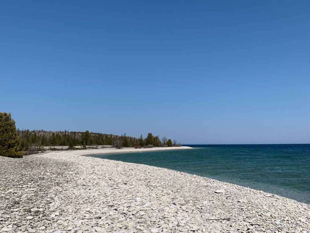
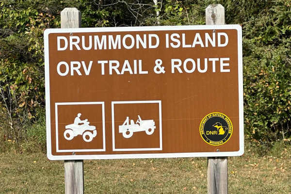
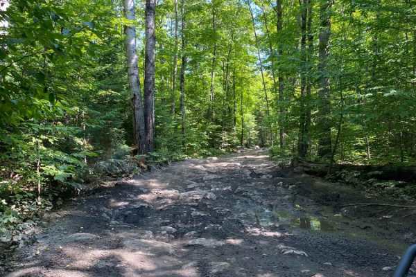
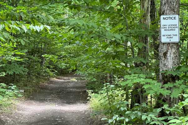
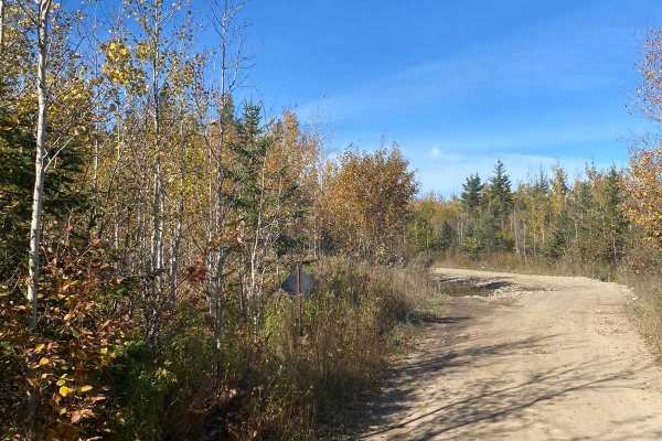
North Route to Marble Head is a challenging 7.6-mile trek designed for four-wheel-drive vehicles, SxSs, and ATVs seeking scenic forest drives and a notorious rocky obstacle at Drummond Island’s easternmost point. This trail runs through dense hardwood forests on a primarily dirt and rock surface, featuring scenic overlooks that provide panoramic views of Lake Huron and the distant Canadian shoreline. With an elevation ranging from 584 to 705 feet and minimal overall elevation gain, the journey is relatively flat but demands constant attention due to loose rocks, muddy sections, and tight tree clearances. As you approach the eastern terminus, the difficulty increases significantly, culminating in the famous Marble Head obstacle. This technical section serves as a Jeep Badge of Honor challenge, requiring high-clearance four-wheel-drive vehicles with at least 33-inch tires and lockers to safely navigate the steep, two-foot rock ledges and scattered three-foot boulders. Less capable rigs or stock SxSs can park at the top of the steps and hike down to the scenic shoreline overlook. Drummond Island is accessed via ferry from DeTour Village, and all vehicles operating on these trails must display a valid Michigan ORV license and trail permit. Due to snowy winters and wet spring conditions, the best time to tackle this route is from late spring through fall when the terrain is drier and the island foliage is at its peak.


Photos of North Route to Marble Head

Difficulty

The Marble Head obstacle is the only difficult part of this trail with ledge steps of up to 2 feet with large boulders up to 3 feet scattered throughout.

Technical Rating

5

Status Reports

Add Status Report
Micheal Nealey
Jul 14, 2025
Open
NormalMuddy/Wet
This trail is pretty easy. The water holes aren’t deep and marble head steps were partially destroyed by the yacht club guy. I’m not sure why this is rated a 5 because there’s very little challenge to this route of the trail. It didn’t even take us 30 minutes to get back to the main road from marble head.
Tisha Richmond
Jun 24, 2025
Open
Normal
Trail was pretty easy getting to the “rock wall”. Water holes where you would expect them were shallow. Easy to access. Rock wall was cool!
Jeff and Laura Bomer
Apr 26, 2025
Open
Normal
More areas to climb since the illegal section is open now. Love the new wall climb. The steps are undercut in some spots. Marblehead is always a great time.
Joe Carron
Oct 04, 2024
2020 Jeep Gladiator
Open
Normal
Trail has been completely bulldozed flat. Large rubble piles reminiscent of a war zone line the trails edge. The mini-steps are completely gone and once at Marblehead, 1/3 of the steps are missing. Just massive piles of rubble in the trees from what was once part of the main Marblehead steps. Access can now be had with any 2wd car or SUV.
Sky Gant
Sep 13, 2024
2020 Jeep Gladiator
Open
NormalDusty
Mike Pickett
Sep 01, 2024
Open
Normal
not a lot of people out and not very wet
Gabriel Guevara alcantara
Jun 28, 2024
Open
Normal
Rich M
May 10, 2024
2023 Jeep Wrangler
Open
Normal
The trail was rocky and muddy, but the water was crystal clear in most places. Water obstacles were less than a foot in most places but, it had been dry for a couple of days. Lots of different lines to navigate the rock obstacles. Jeep is on stock rubicon ride height, with 35s.
Erik Stein
Oct 07, 2023
Open
Normal
Jeff and Laura Bomer
Sep 27, 2023
Open
Normal
Jeff and Laura Bomer
Aug 08, 2023
Open
Normal
Justin Schwarting
Jul 18, 2023
Open
Erik Faust
Jul 05, 2023
Open
Normal
Ronald Clarke
May 28, 2023
Open
NormalDusty

North Route to Marble Head Trail can be accessed by the following ride types:

  • Single Track
  • 50 Inch
  • 60 Inch
  • High Clearance

Access Description

Access to Drummond Island requires taking the Drummond Island Ferry from DeTour Village. Operating motorized vehicles on state-designated routes and trails on the island requires a valid Michigan Department of Natural Resources (DNR) ORV License and an ORV Trail Permit.

North Route to Marble Head Map

The onX Offroad Difference

onX Offroad combines trail photos, descriptions, difficulty ratings, width restrictions, seasonality, and more in a user-friendly interface. Available on all devices, with offline access and full compatibility with CarPlay and Android Auto. Discover what you're missing today!

Open Trail Map