North Missaukee Route (section 5)

Total Miles4.3
Technical Rating
3Easy
Best TimeSpring, Fall, Summer
Trail TypeFull-Width Road
Accessible By
Open Trail Map

Trail Overview

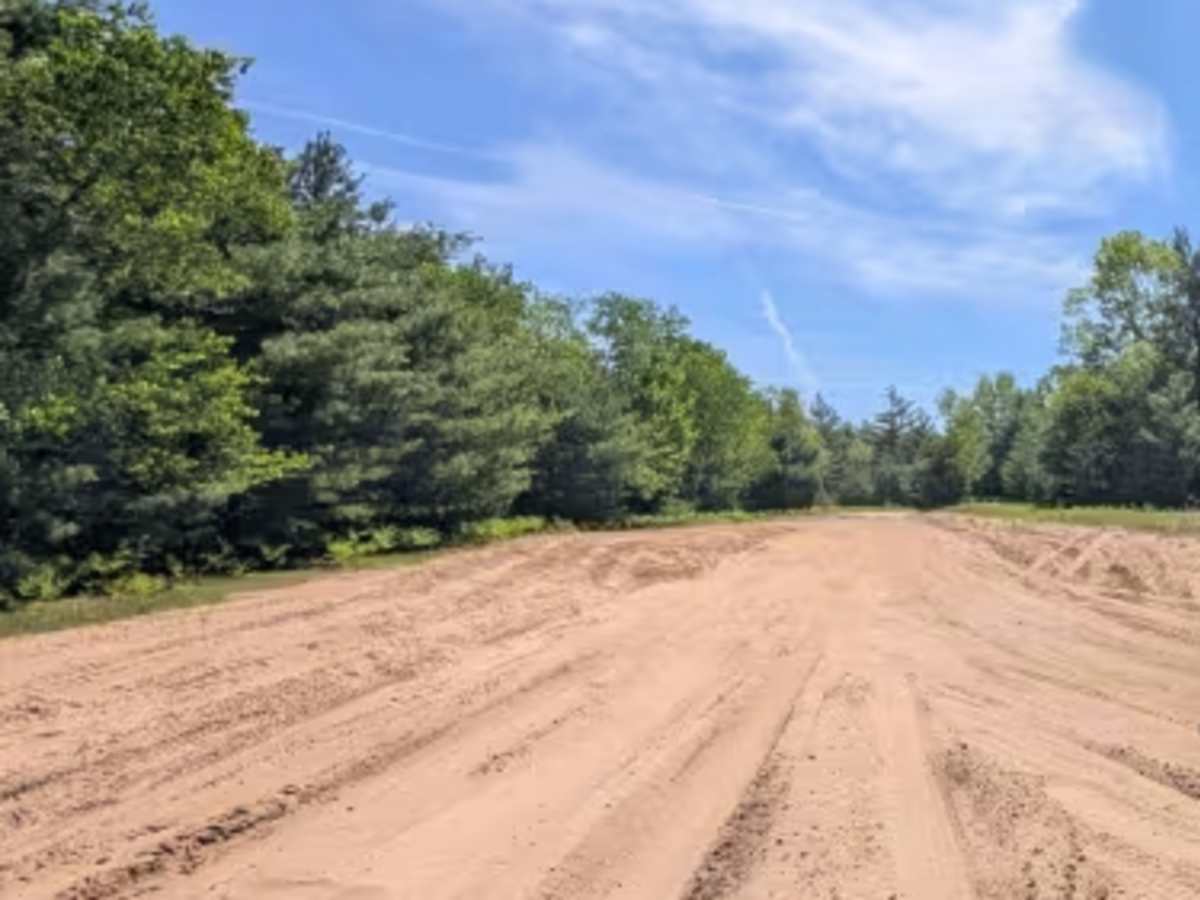
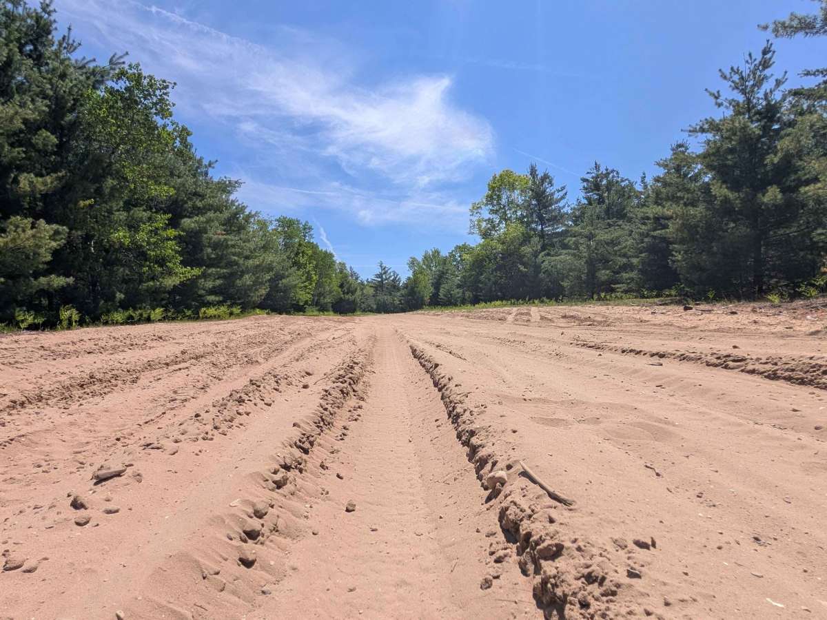
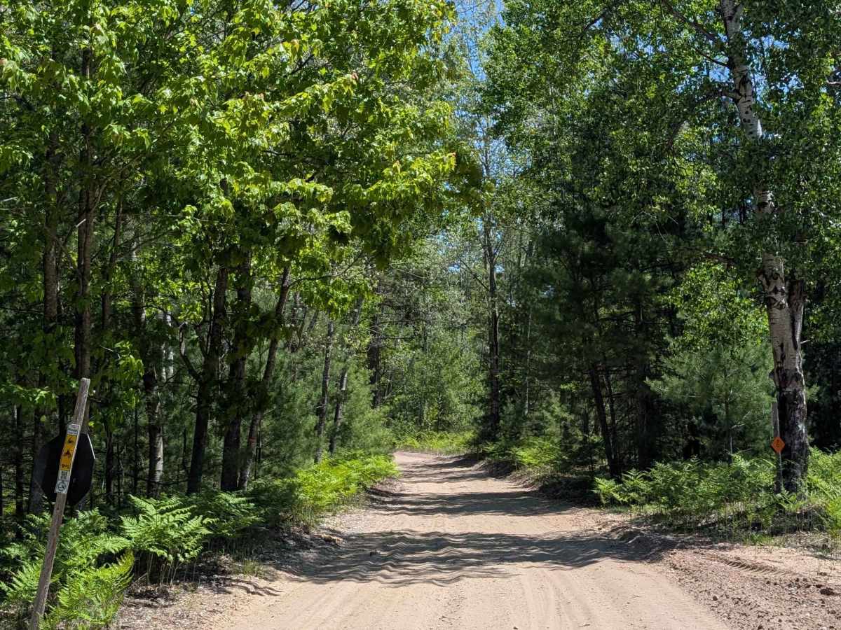
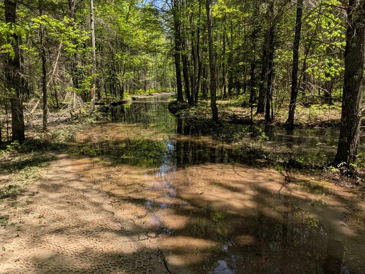
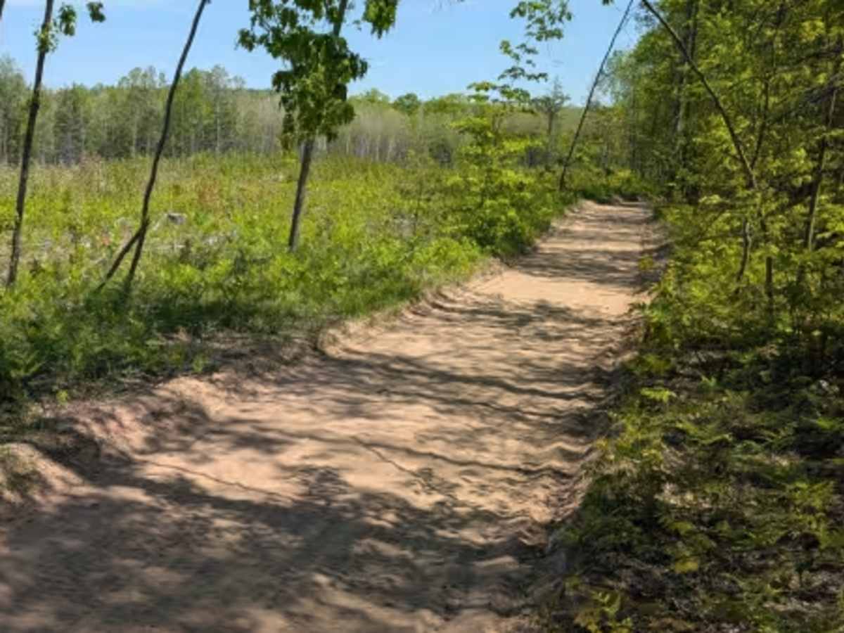
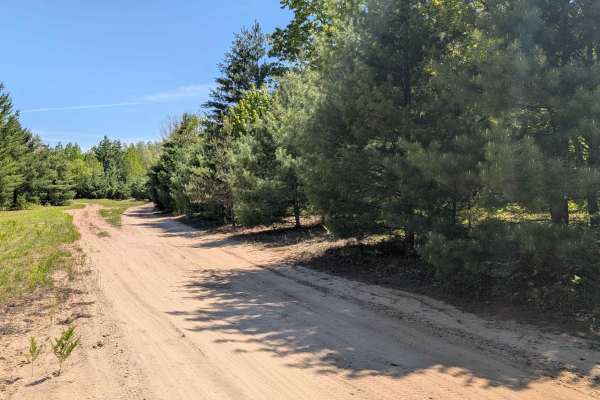
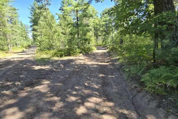
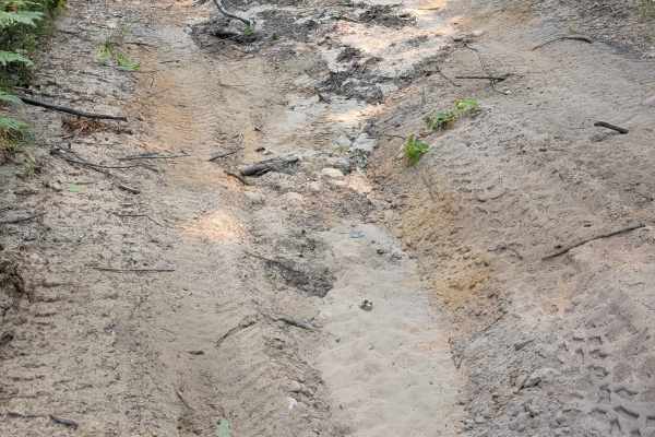
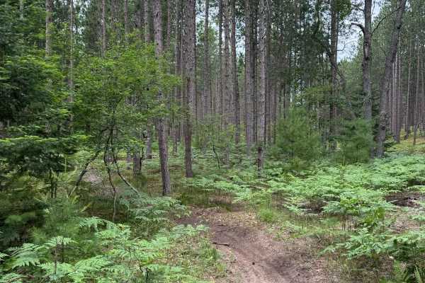
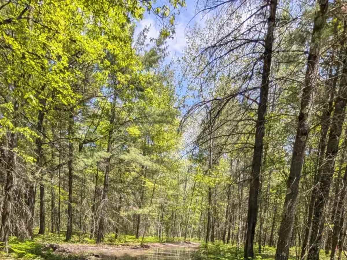
The North Missaukee Route (often referred to as North Missaukee or NMR) is a multi-use ORV route spanning roughly 60 miles across Missaukee and Kalkaska counties. It is an extremely popular, sandy, rolling, and heavily wooded trail system located just southeast of Bear Lake. This portion of the NMR is a beautiful sandy route through the Michigan woods. You'll find small elevation changes and water holes as deep as 18" during wet conditions. This trail is a groomed snowmobile route (LP 76) during the winter months and is closed to wheeled vehicles.

Photos of North Missaukee Route (section 5)

Difficulty

Sand-based with some elevation changes, and the potential of water holes up to 18" big if the weather has been wet.

Technical Rating

3

North Missaukee Route (section 5) Trail can be accessed by the following ride types:

  • Single Track
  • 50 Inch
  • 60 Inch
  • High Clearance
  • Full Width

North Missaukee Route (section 5) Map

The onX Offroad Difference

onX Offroad combines trail photos, descriptions, difficulty ratings, width restrictions, seasonality, and more in a user-friendly interface. Available on all devices, with offline access and full compatibility with CarPlay and Android Auto. Discover what you're missing today!

Open Trail Map