Borderline Lookout Trail

Total Miles1.7
Technical Rating
2Easy
Best TimeSpring, Summer, Fall, Winter
Trail TypeFull-Width Road
Accessible By
Open Trail Map

Trail Overview

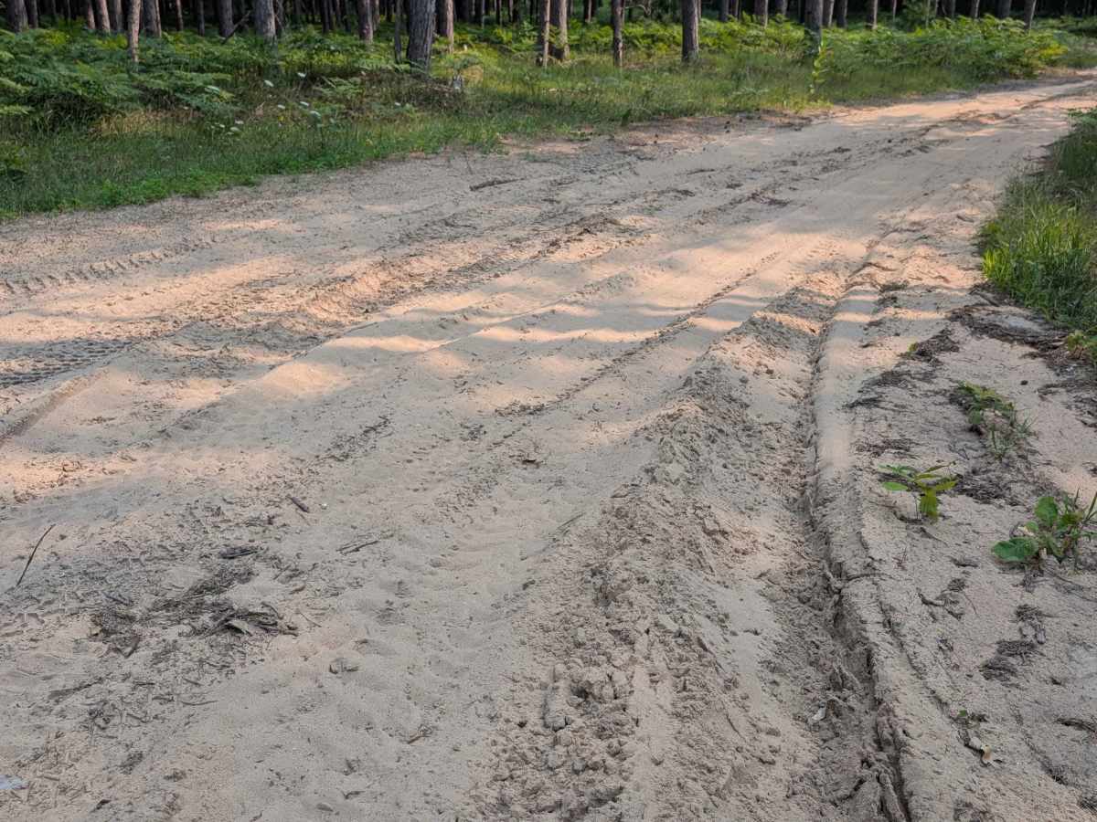
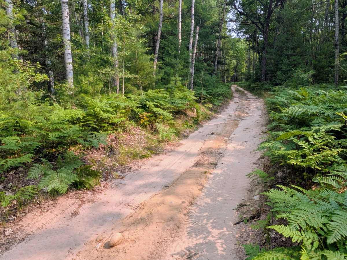
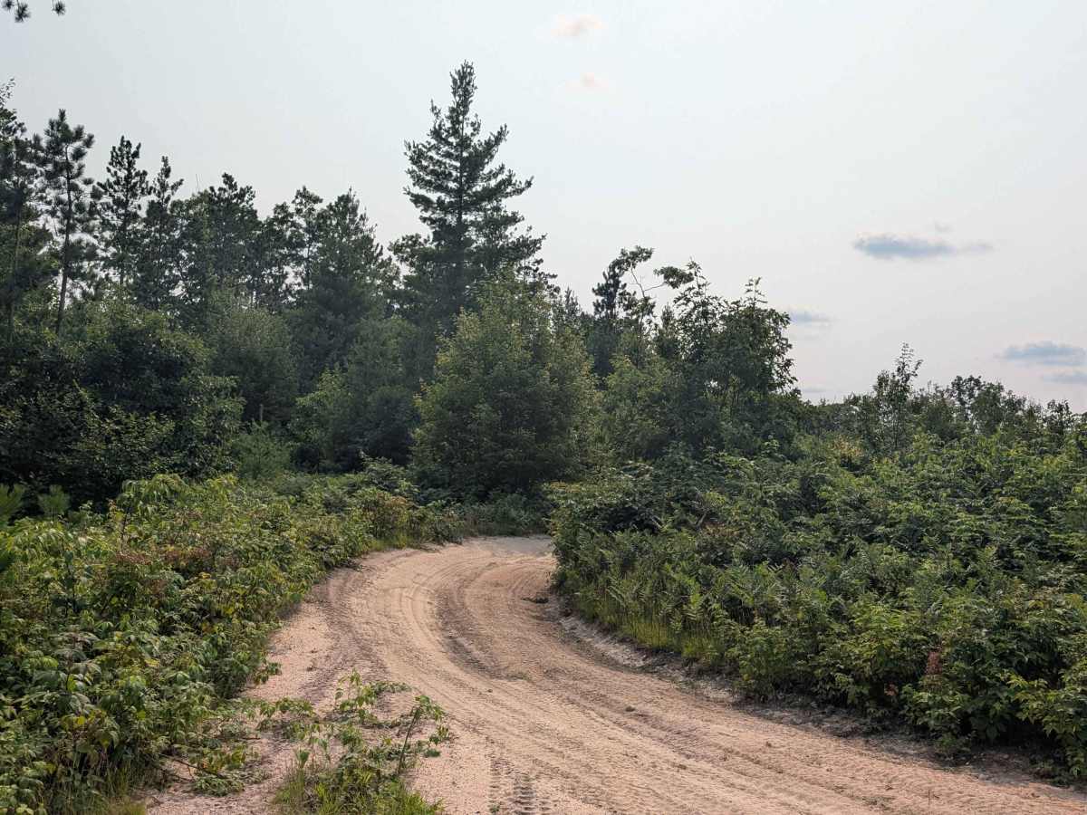
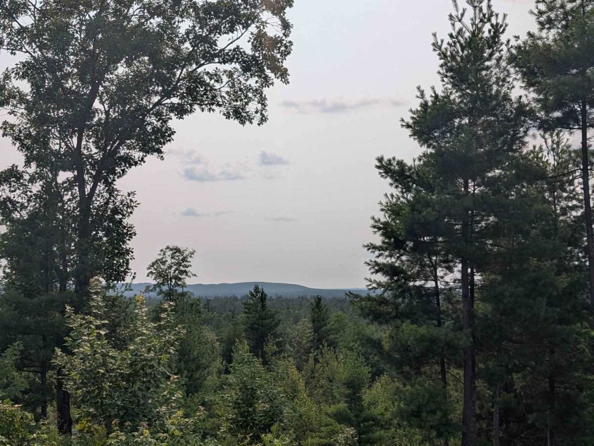
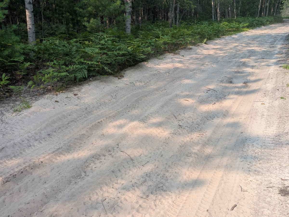
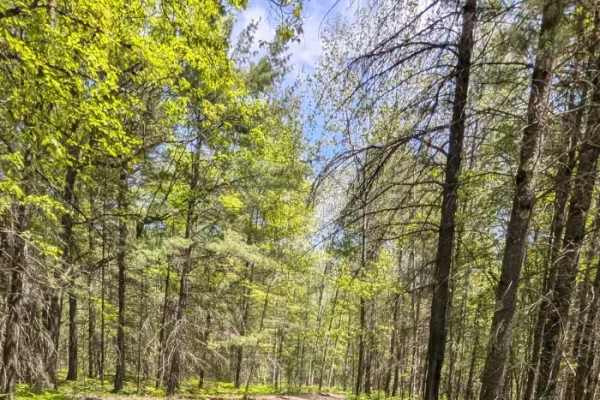
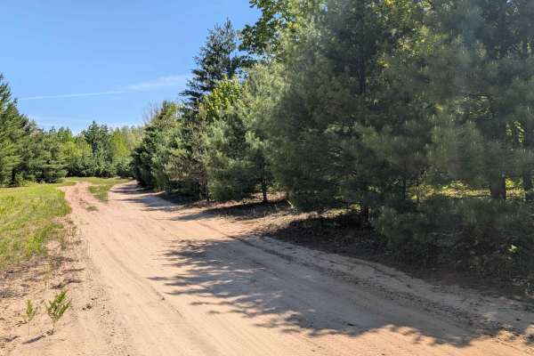
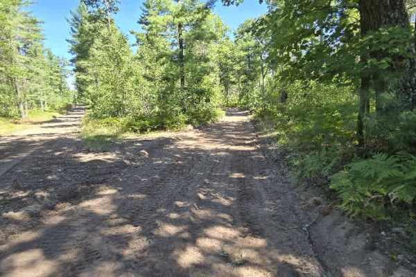
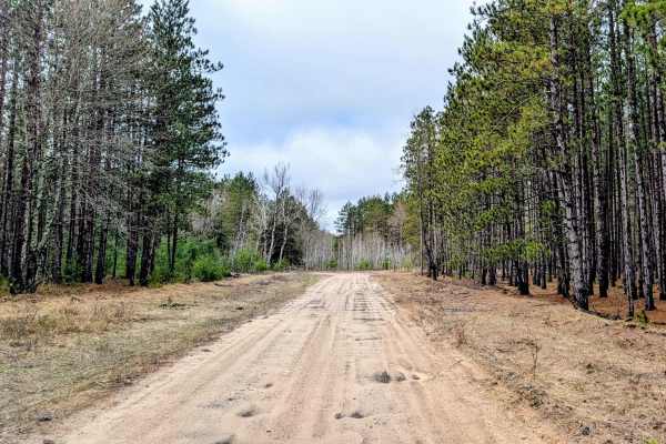
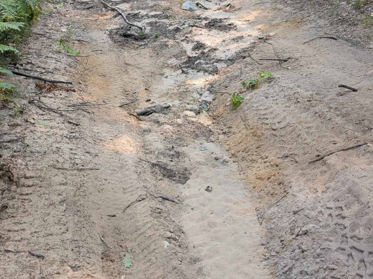
This trail runs along the border of both Kalkaska and Missaukee Counties. It runs between Dutch John Road and North Burkett Road. This sandy two-track has some elevation changes and an offshoot trail that ends at a small lookout area with a nice view. This trail is one vehicle wide, has a few areas with tree roots, and a couple of areas with washboarding.

Photos of Borderline Lookout Trail

Difficulty

Sandy with some elevation changes.

Technical Rating

2

Borderline Lookout Trail Trail can be accessed by the following ride types:

  • Single Track
  • 50 Inch
  • 60 Inch
  • High Clearance
  • Full Width

Borderline Lookout Trail Map

The onX Offroad Difference

onX Offroad combines trail photos, descriptions, difficulty ratings, width restrictions, seasonality, and more in a user-friendly interface. Available on all devices, with offline access and full compatibility with CarPlay and Android Auto. Discover what you're missing today!

Open Trail Map