Manistee River Turnaround

Total Miles2.5
Technical Rating
1Easy
Best TimeSpring, Summer, Fall
Trail TypeFull-Width Road
Accessible By
Open Trail Map

Trail Overview

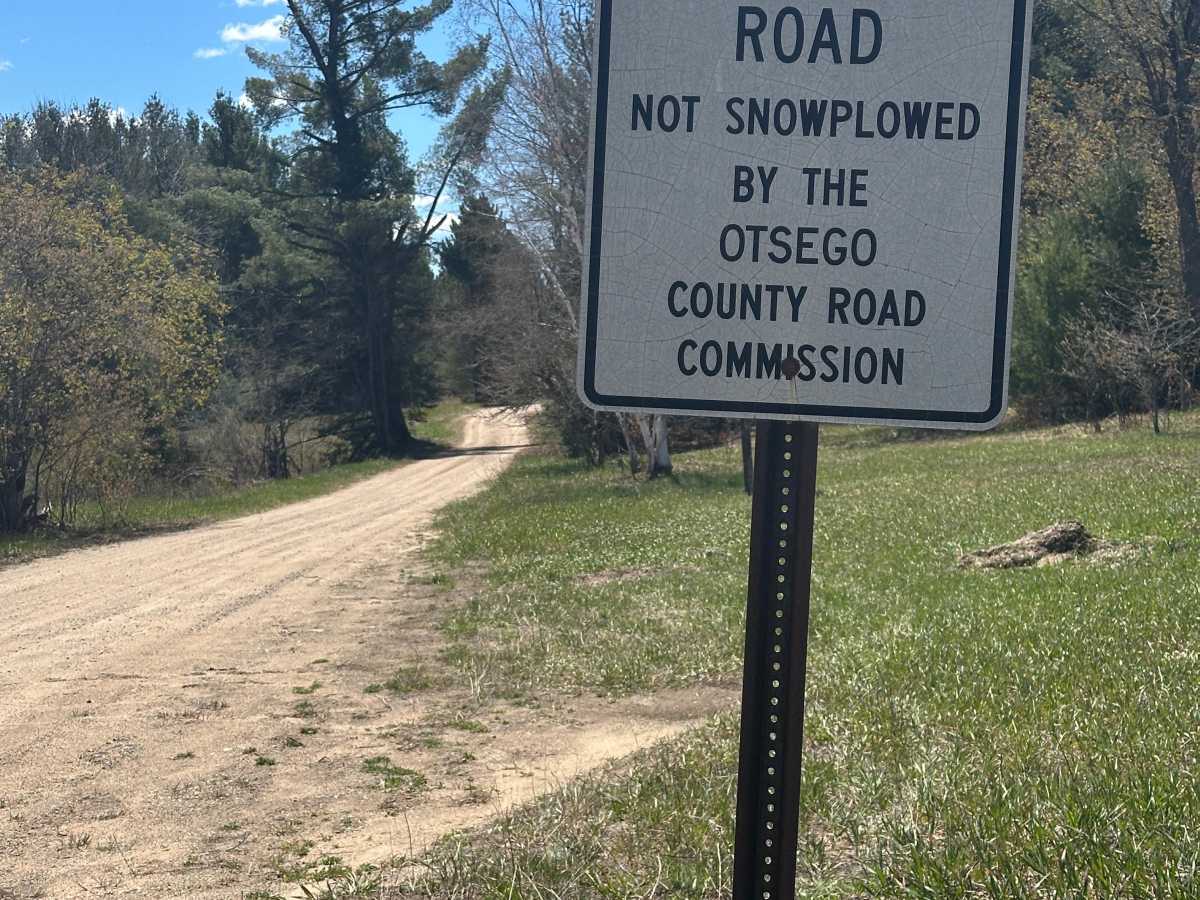
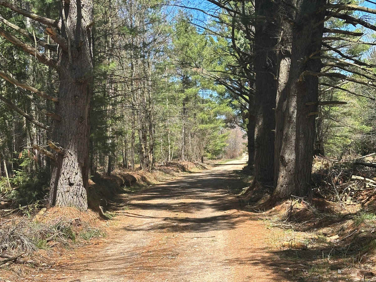
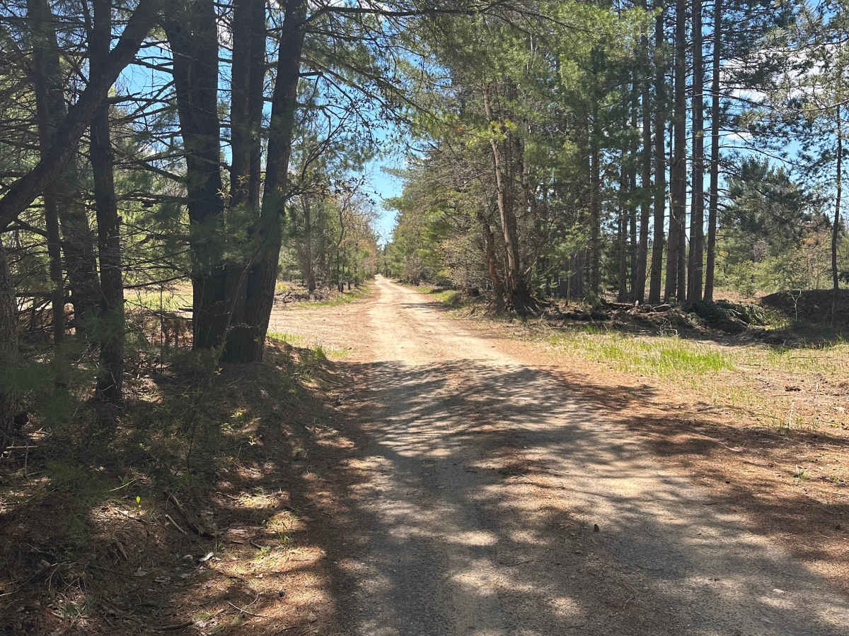
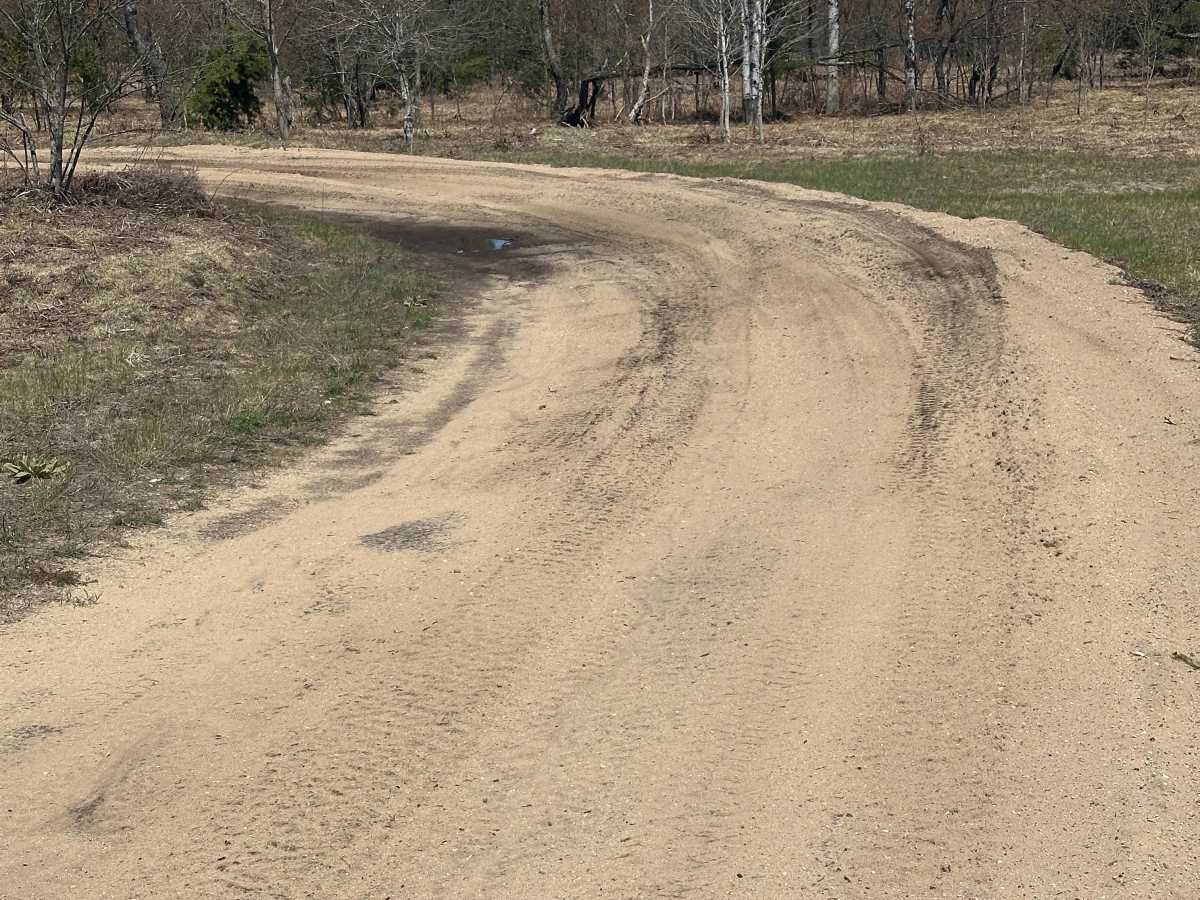
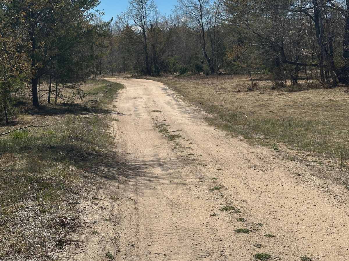
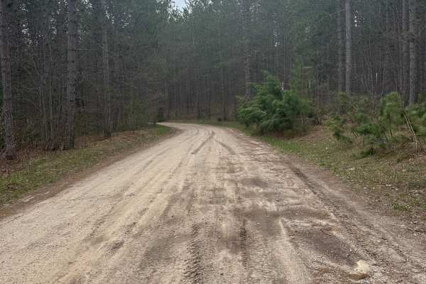
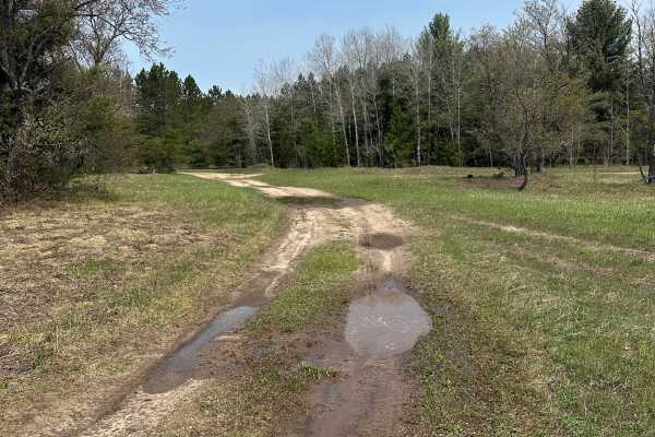
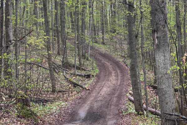
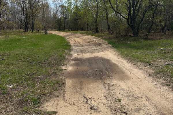
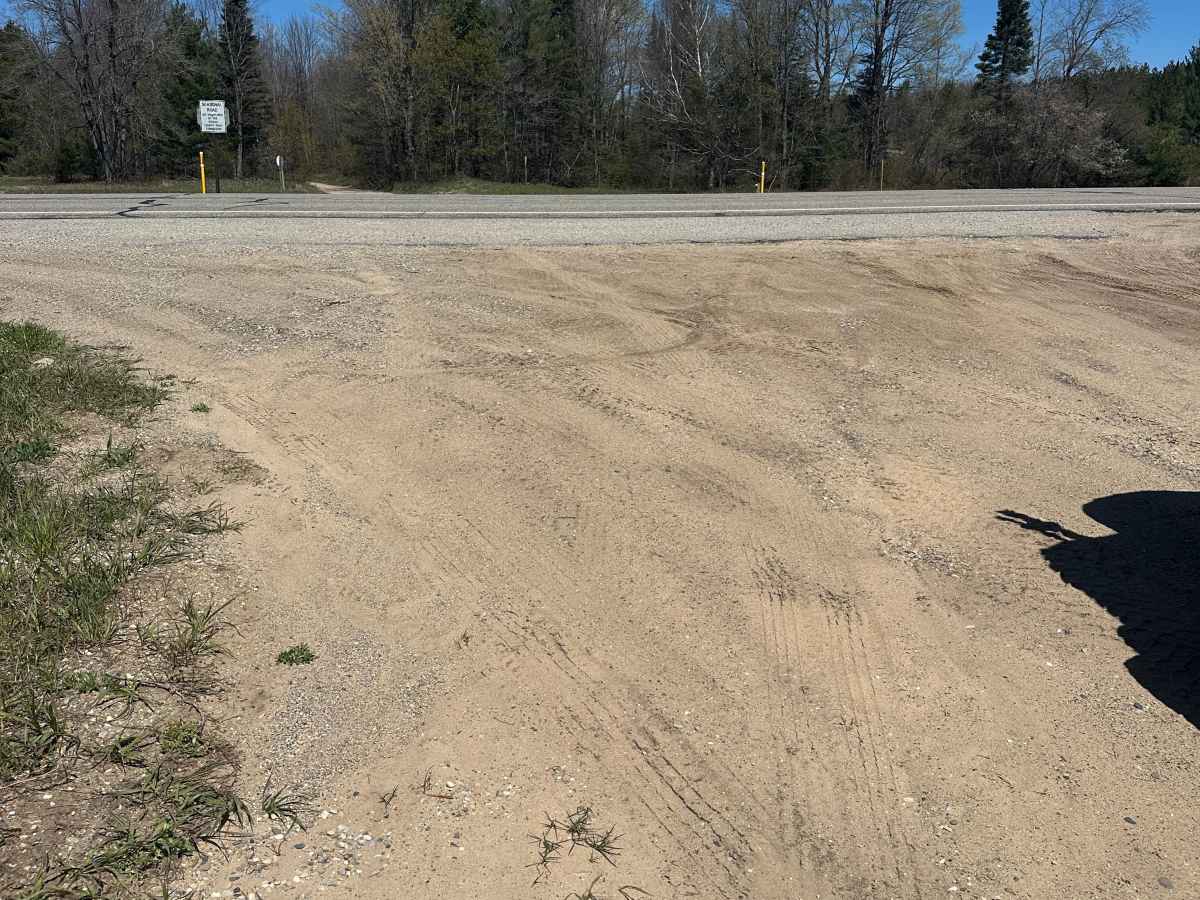
Manistee River Turnaround is a 2.5-mile, single-lane, unpaved two-track trail within the Gaylord Forest Management Unit in Northern Michigan. Extending south from Mancelona Road (County Road 38), the route winds through a forest of pines and hardwoods before terminating at a turnaround loop along the Manistee River. The trail features a surface of dirt, gravel, and sand, with occasional sections wide enough to allow oncoming vehicles to pass. It provides direct access to the Manistee River for fishing and serves as a gateway to the region's larger off-road trail network.

Photos of Manistee River Turnaround

Difficulty

Trail is a solid road for licensed vehicles.

Technical Rating

1

Manistee River Turnaround Trail can be accessed by the following ride types:

  • High Clearance
  • Full Width

Access Description

The trail is located on state forest land managed by the Michigan Department of Natural Resources (DNR). Off-road vehicles must display a valid Michigan ORV license and trail permit, while street-legal vehicles must be properly registered. State forest rules and regulations apply.

Manistee River Turnaround Map

The onX Offroad Difference

onX Offroad combines trail photos, descriptions, difficulty ratings, width restrictions, seasonality, and more in a user-friendly interface. Available on all devices, with offline access and full compatibility with CarPlay and Android Auto. Discover what you're missing today!

Open Trail Map