Deward Road Northeast

Total Miles9.3
Technical Rating
2Easy
Best TimeSpring, Summer, Fall
Trail TypeFull-Width Road
Accessible By
Open Trail Map

Trail Overview

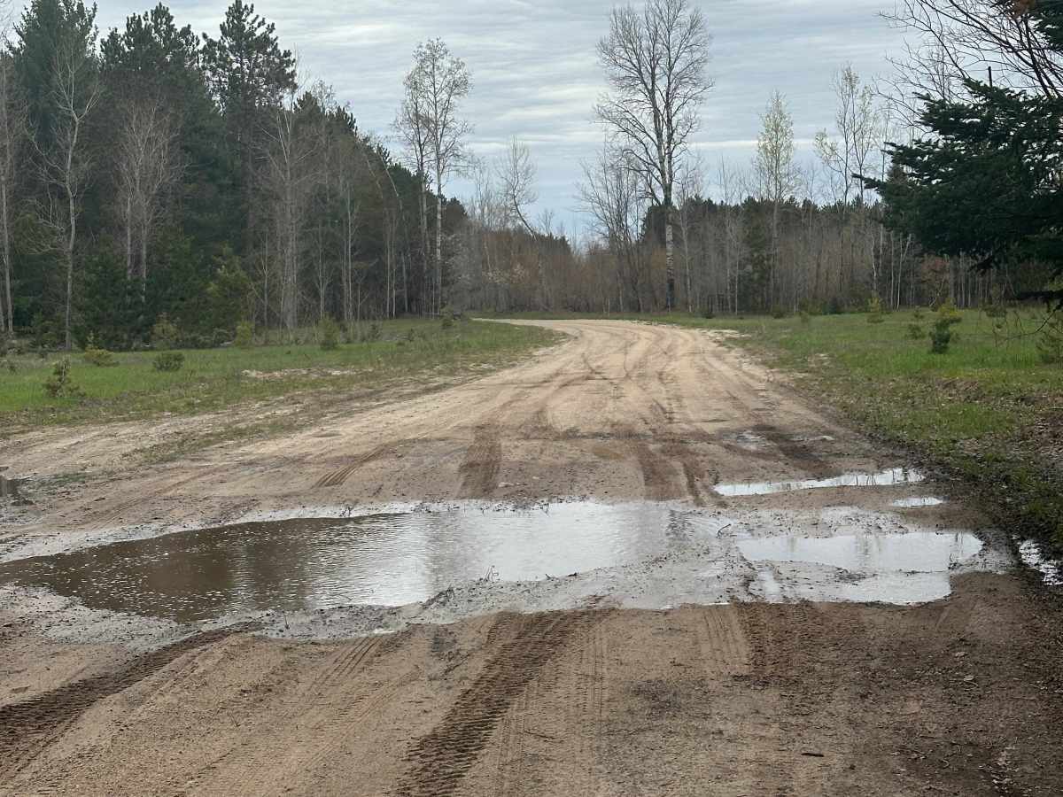
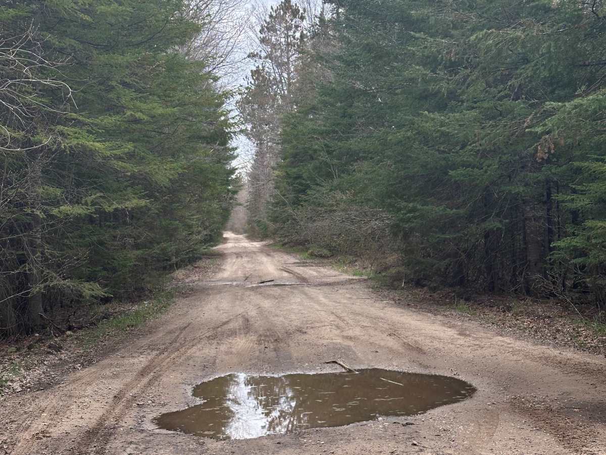
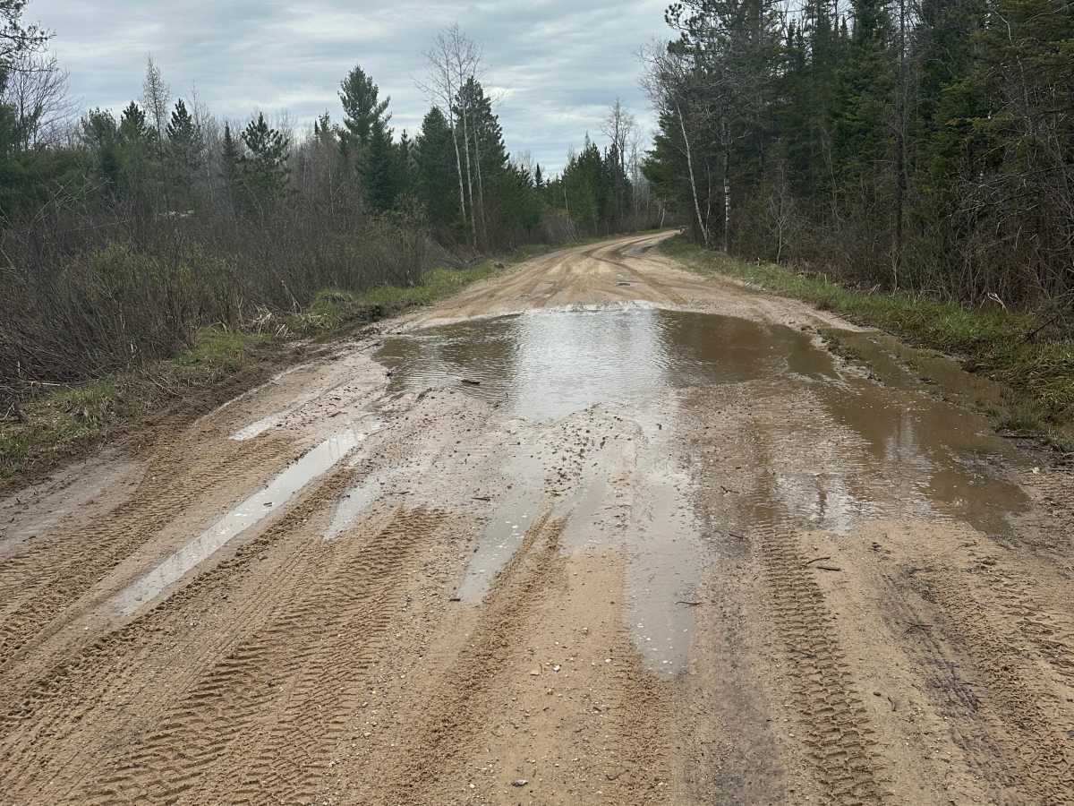
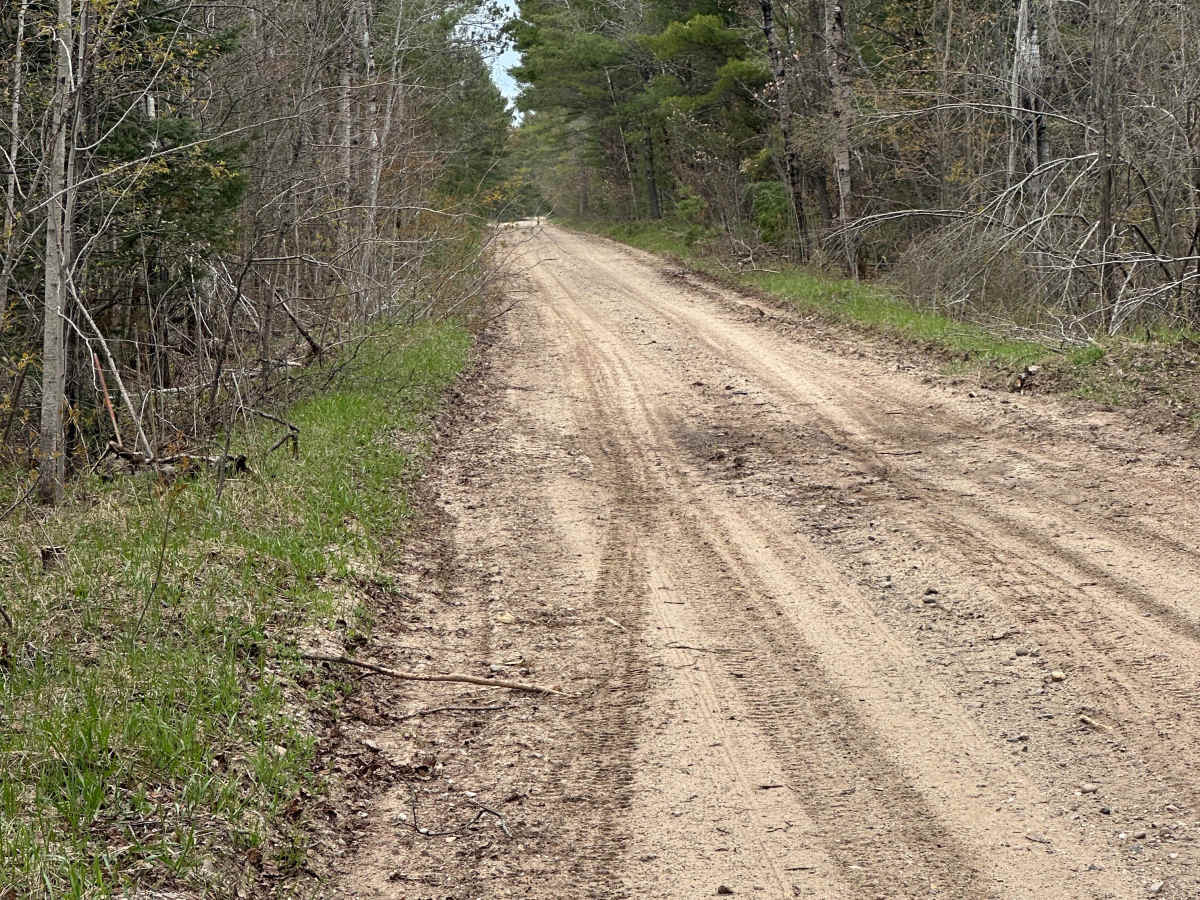
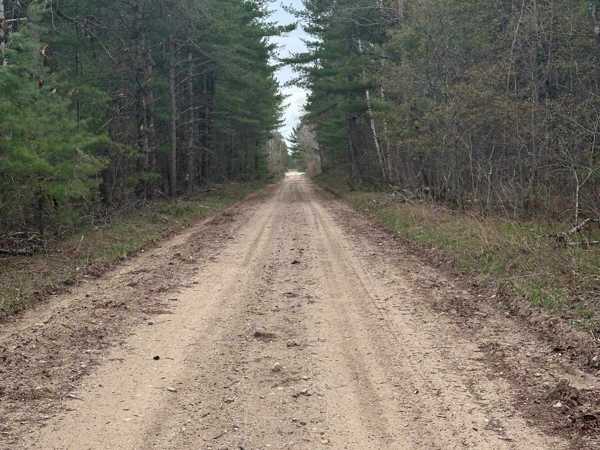
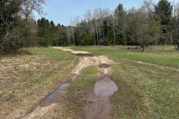
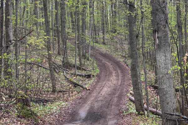
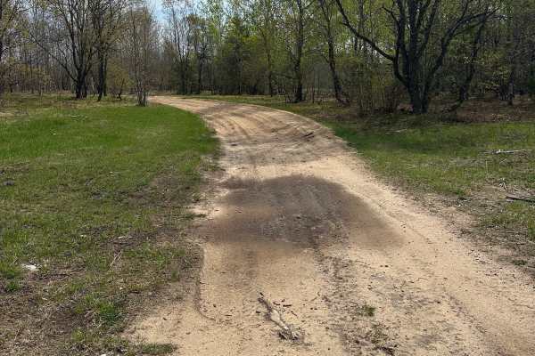
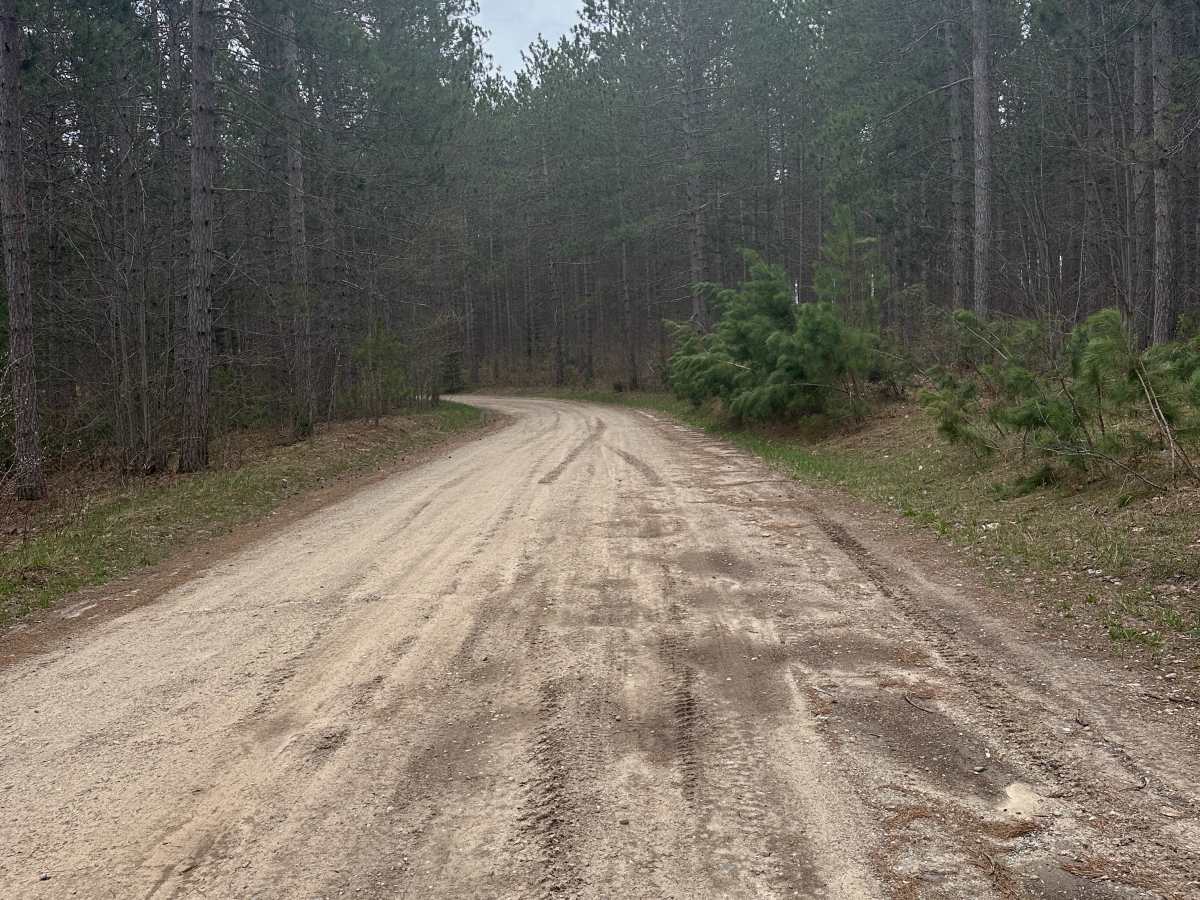
Deward Road Northeast is an easy seasonal forest road well suited for stock high-clearance vehicles and anyone looking to explore Northern Michigan's expansive public lands. Passing through multiple Forest Management Units, this single-lane route alternates between wider stretches and narrower wooded corridors while following a surface of dirt, gravel, and sand. The surrounding landscape is dominated by mature pine stands and mixed hardwood forest, creating excellent opportunities to spot wildlife and connect with nearby trail systems. Occasional wider sections provide enough room for oncoming vehicles to pass. The road is generally straightforward to travel, though scattered mud holes can become deeper and more challenging after heavy rain or during seasonal thaw. Deward Road Northeast continues through a quiet forest setting before ending at County Road 612, making it a useful connector for longer rides through the region. Surface conditions can vary throughout the year, so seasonal road status and weather should be checked before your trip. Stay on designated routes at all times and follow Tread Lightly principles to help protect the forest and preserve access for future recreation.

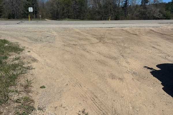
Photos of Deward Road Northeast

Difficulty

Drivers may encounter mud and some water holes.

Technical Rating

2

Deward Road Northeast Trail can be accessed by the following ride types:

  • High Clearance
  • Full Width

Deward Road Northeast Map

The onX Offroad Difference

onX Offroad combines trail photos, descriptions, difficulty ratings, width restrictions, seasonality, and more in a user-friendly interface. Available on all devices, with offline access and full compatibility with CarPlay and Android Auto. Discover what you're missing today!

Open Trail Map