Huron Mountain Drive Big Eric's to Van Riper

Total Miles37.8
Technical Rating
2Easy
Best TimeSummer, Fall
Trail TypeFull-Width Road
Accessible By
Open Trail Map

Trail Overview

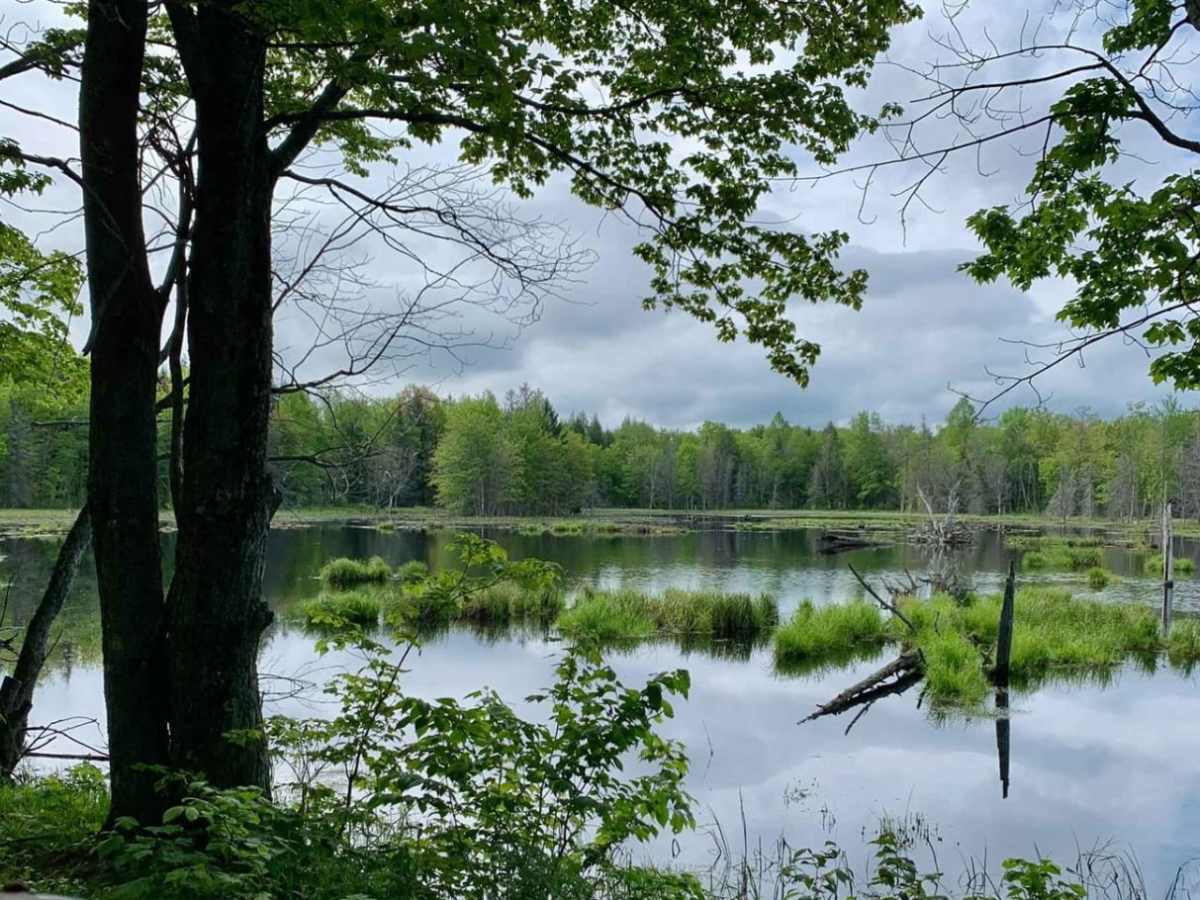
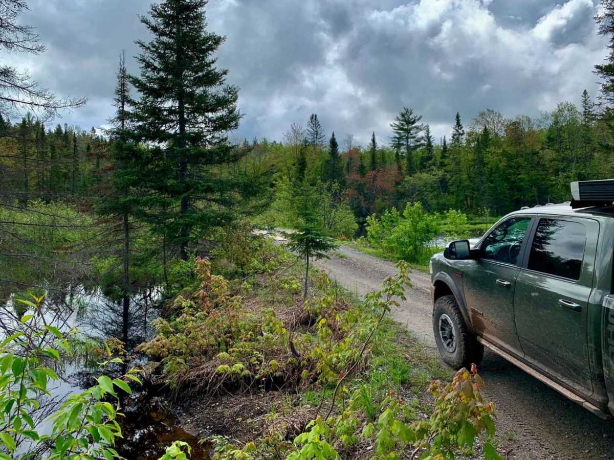
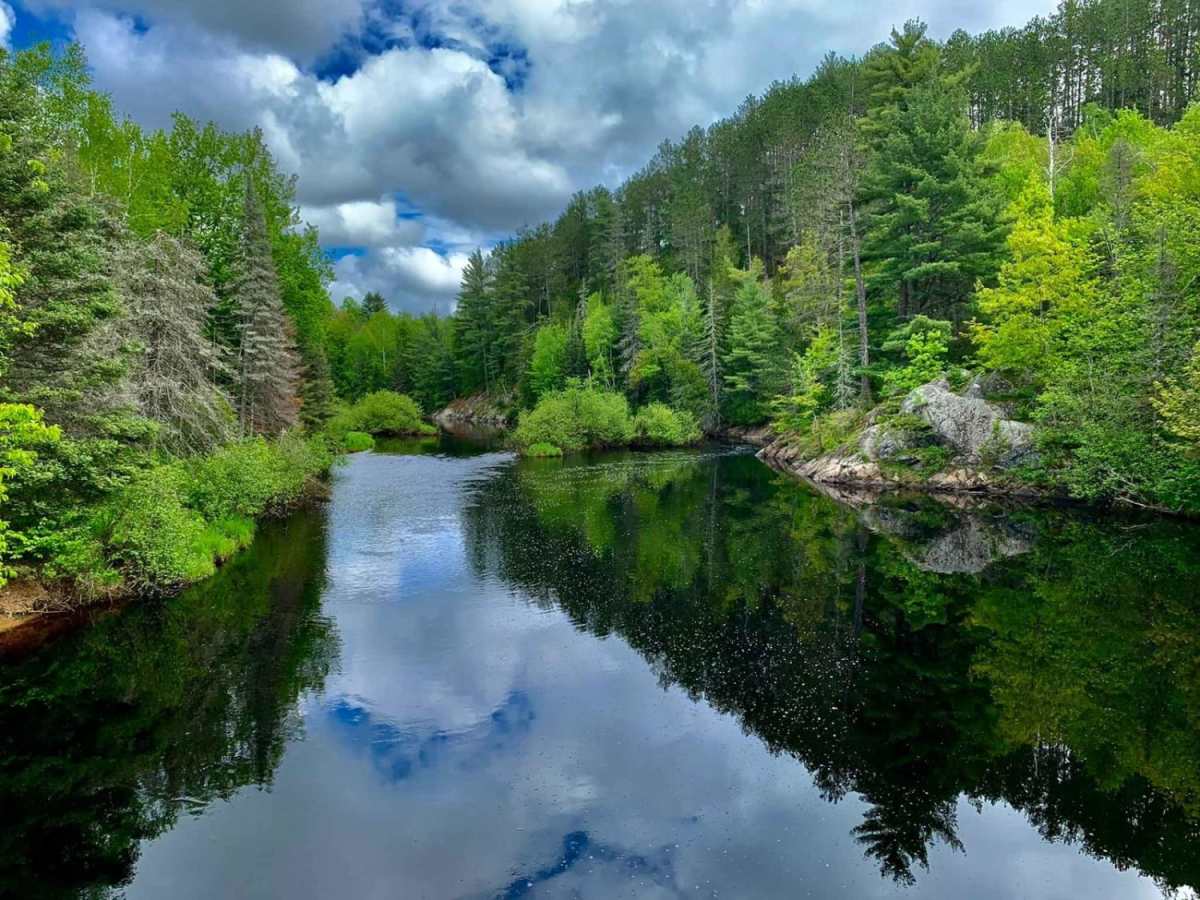
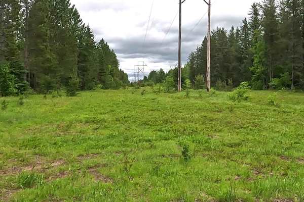
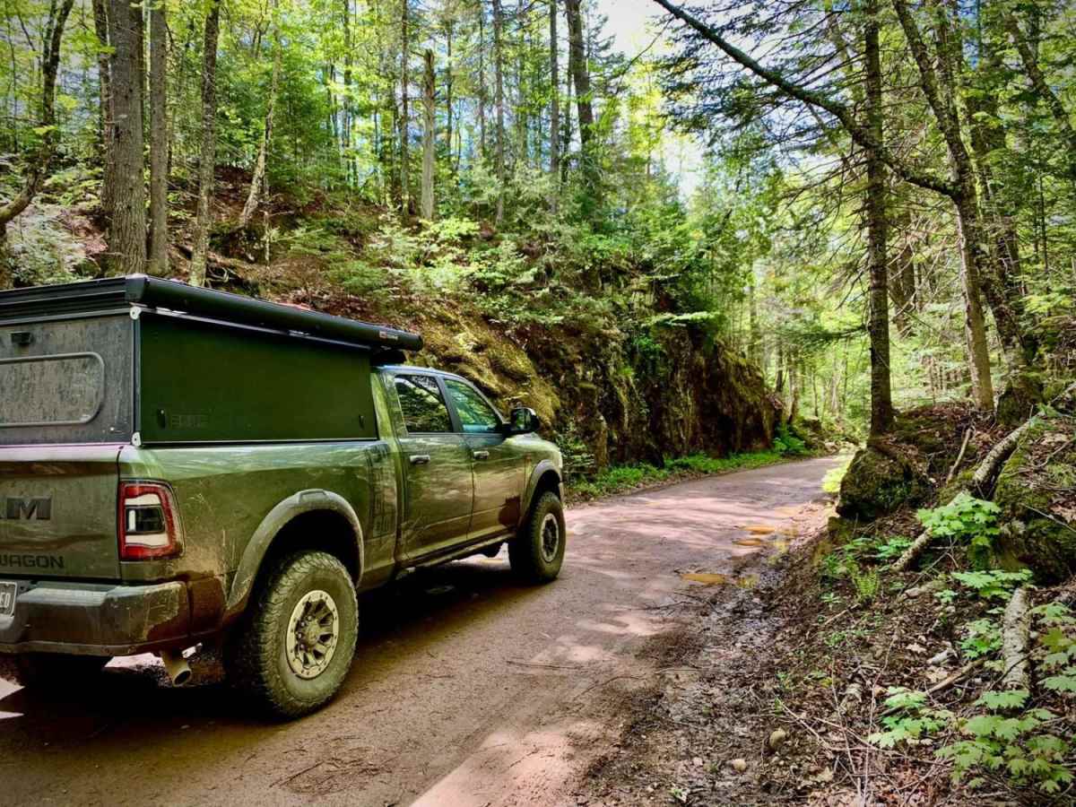
Huron Mountain Drive Big Eric's to Van Riper is a scenic, entry-level overland route designed for high-clearance vehicles, four-wheel-drive trucks, and SxSs looking to explore the remote wilderness of Michigan's Upper Peninsula. Spanning approximately 38 miles from Big Eric's Bridge State Forest Campground to Van Riper State Park, this point-to-point journey winds through the rugged Huron Mountains and skirts the northern edge of the McCormick Wilderness within the Ottawa National Forest. The terrain consists primarily of well-graded gravel, sand, and unpaved natural surfaces, offering an approachable technical rating of 2. Drivers will navigate a mix of two-lane and single-lane forest roads that climb from a low elevation of 715 feet up to a peak of 1,886 feet, encountering minor elevation changes and gentle gradients along the way. While the route is generally straightforward, drivers should remain alert for occasional bump rocks, sandy spots, and several narrow wooden bridges that require careful wheel placement. The dense forest canopy opens up to reveal stunning views of the surrounding highlands and pristine wetlands, making it a spectacular drive during the autumn color change. Camping is available at both ends of the route, with primitive sites at Big Eric's Bridge and full-service camping, swimming, and hiking at Van Riper State Park along Lake Michigamme. No specialized recovery gear is required under normal dry conditions, but seasonal rain can create slick mud sections, so carrying basic recovery tools and checking local trail conditions before heading out is highly recommended.

Photos of Huron Mountain Drive Big Eric's to Van Riper

Difficulty

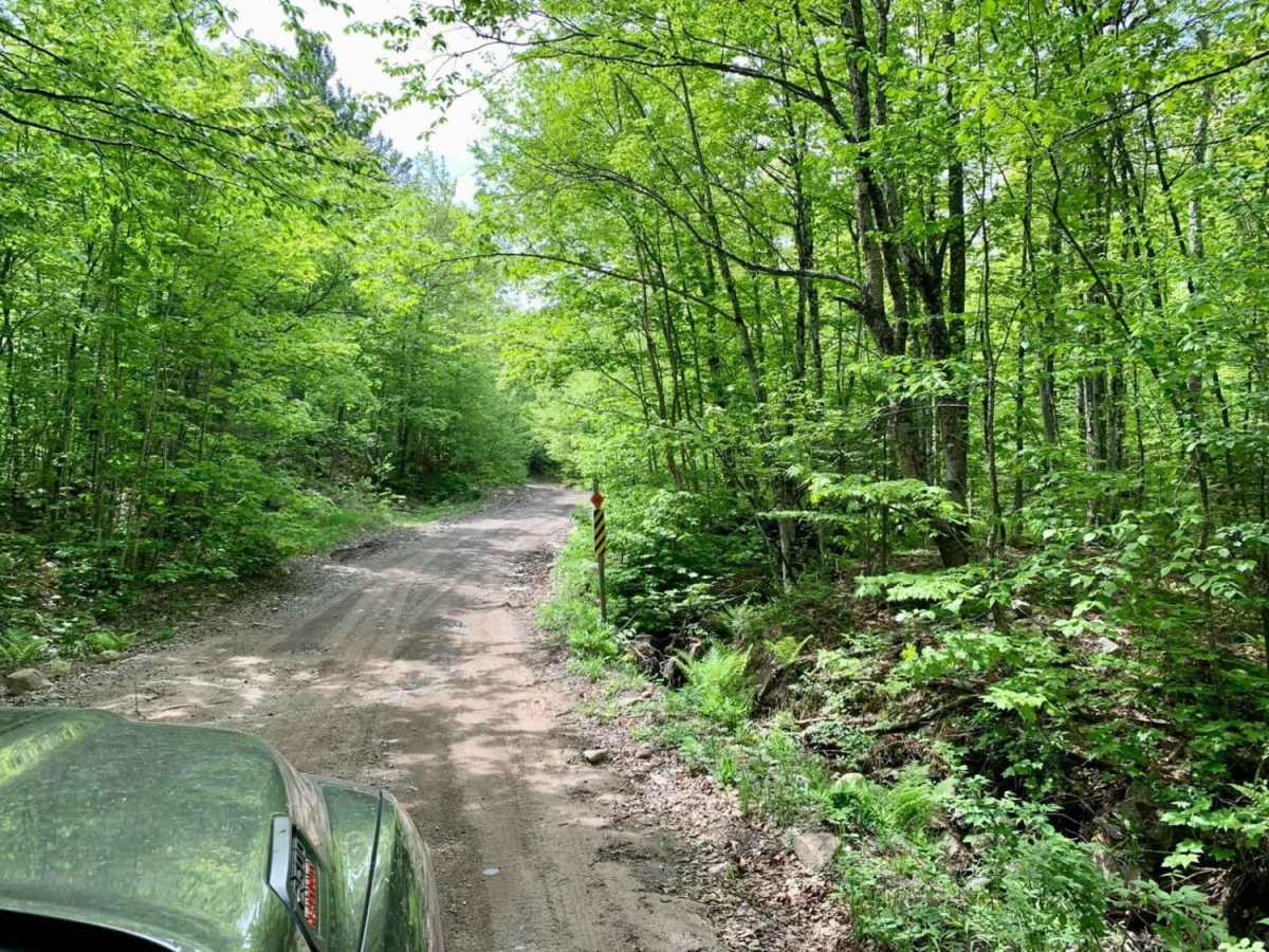
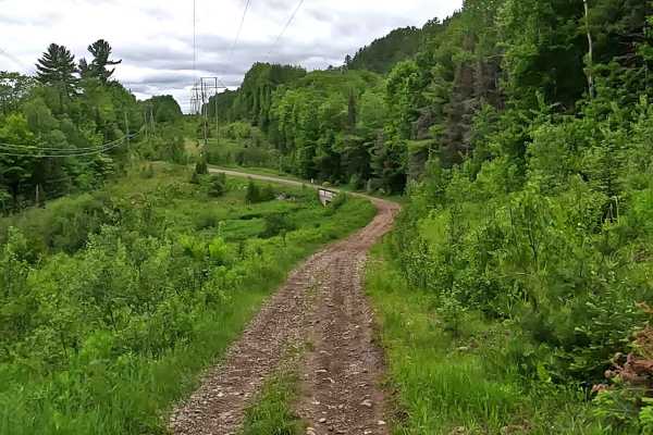
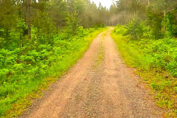
A mix of gravel and natural surface well graded two lane and one lane roads with occasional bump rock and several narrow wooden bridges.

Technical Rating

2

Status Reports

Add Status Report
Jack Thacker
Sep 16, 2026
2020 Toyota RAV4
Open
NormalDustyRough/DeterioratedWashboard
I took this as a “scenic route” back to Marquette after a night camping on the lake. It was a pretty fun cruise, although the section from ford road to the peshekee grade was a bit rough in sections. Made things interesting in a rav 4. Well worth the new pinstripes.
Anthony
Aug 25, 2026
2024 Ford Ranger FX4
Open
NormalWashboard
My buddy and I started this trail on the North end after finishing the Northwestern trail. We used it to access the 40 Foot Falls and Lake Superior via the Huron Mouth Trail. Afterwards we took this South all the way to Highway 41 at the Van Riper State Park. It was in good shape and almost felt like driving a rally course. There are some great views and picturesque openings as you get further South and pass through some of the clearings towards the Southern end of the trail. We didn't see anyone else when we drove it.
Luke Van Tiem
Jul 02, 2026
1996 Ford F-250
Open
Dusty
Joined on the trail north of white deer lake, trail was rocky and rough for a leaf spring truck, kind of slow moving, but once you hit the groomed dirt and pavement it’s pretty quick
CColin F
Jul 27, 2025
2024 Jeep Wrangler
Open
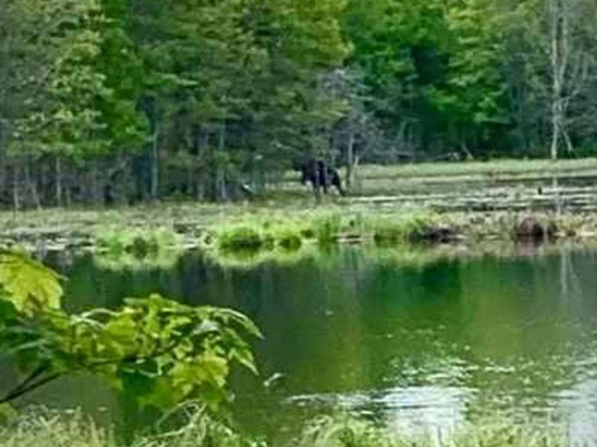
Very cool drive with a lot of wildflowers and some wildlife
Luke Reinke
Jun 19, 2025
Open
Normal
long drive fairly easy and beautiful. about 3.5 hour drive at a slower pace.
Kyle James
May 07, 2025
Temporarily Closed
Posted SignFire DangerWeather Event
You can get about 80-90% of it then there’s a closer and no other alternative than a super trash loop.
Colin Gaerlan
Aug 01, 2024
2022 Jeep Gladiator
Open
DustyWashboard
It was a good ride. Slow going in a few spots. We went during the week and came across 2 other vehicles and one SXS. Overall it was fun but sadly they are starting pave the southern portion of this trail just after the connecting trail. When we went through the paving equipment was still on the road. It was just completed before we got there. I would definitely do it again if we are in the area again.
Mike Hopper
Jun 15, 2024
Open
DustyRough/Deteriorated
The grader machine has been doing work, its basically a dirt road with bridge crossings, slow going with bigger stones, unpleasant ride quality for me at 20psi-around 3 hours from south to the north end at big erics bridge-campgrounds $20 bucks a night, nice sites with only a few other campers
Greg Pitts
Jul 26, 2023
Open
Muddy/WetNormal
Owen kellner
Jul 20, 2023
Open
Muddy/Wet
Chris Zajd
Jun 18, 2023
Open
NormalDustyWashboard

Huron Mountain Drive Big Eric's to Van Riper Trail can be accessed by the following ride types:

  • High Clearance
  • Full Width

Huron Mountain Drive Big Eric's to Van Riper Map

The onX Offroad Difference

onX Offroad combines trail photos, descriptions, difficulty ratings, width restrictions, seasonality, and more in a user-friendly interface. Available on all devices, with offline access and full compatibility with CarPlay and Android Auto. Discover what you're missing today!

Open Trail Map