Gichigoomi Trail

Total Miles1.1
Technical Rating
3Easy
Best TimeSpring, Summer, Fall
Trail TypeFull-Width Road
Accessible By
Open Trail Map

Trail Overview

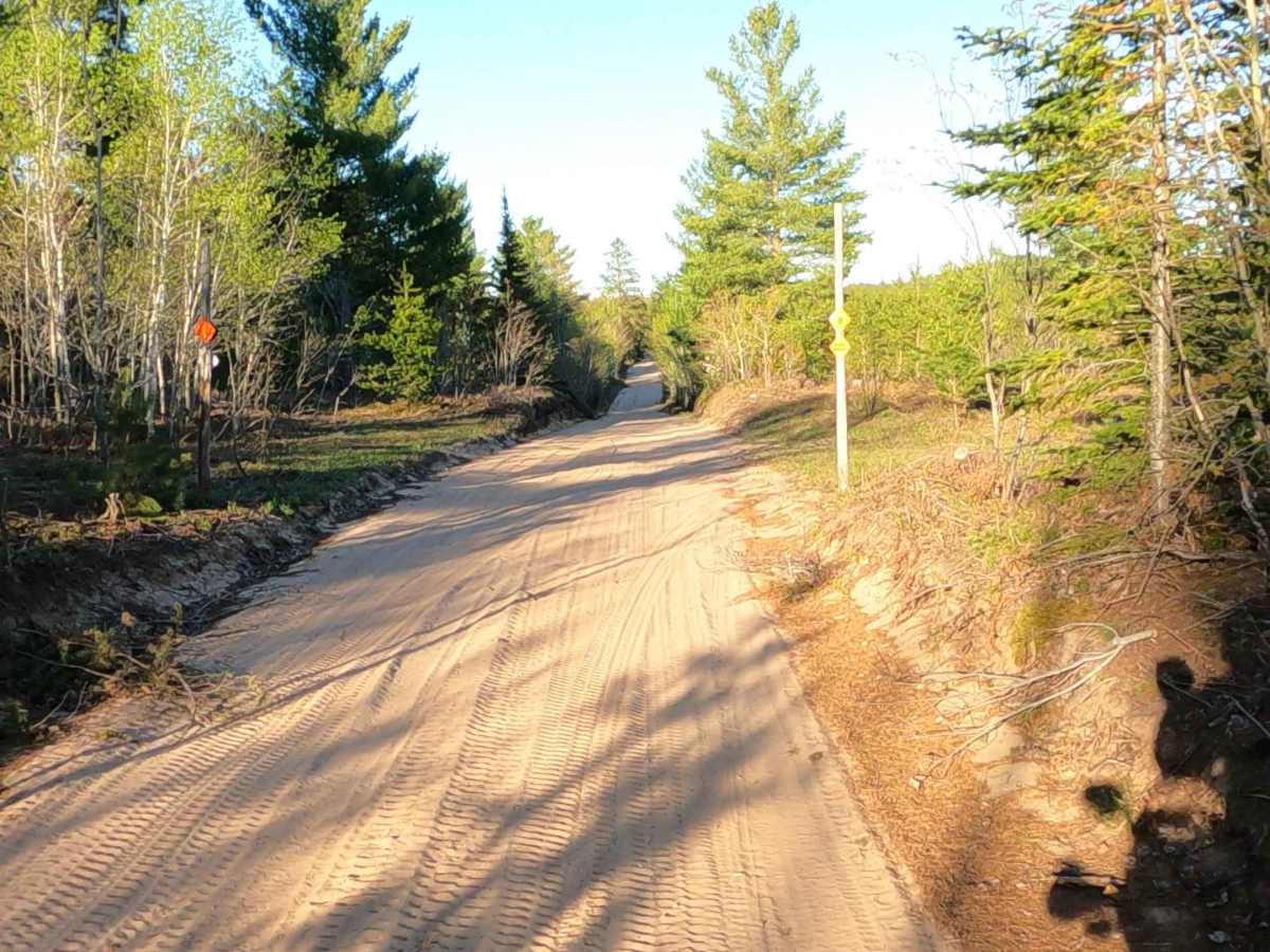
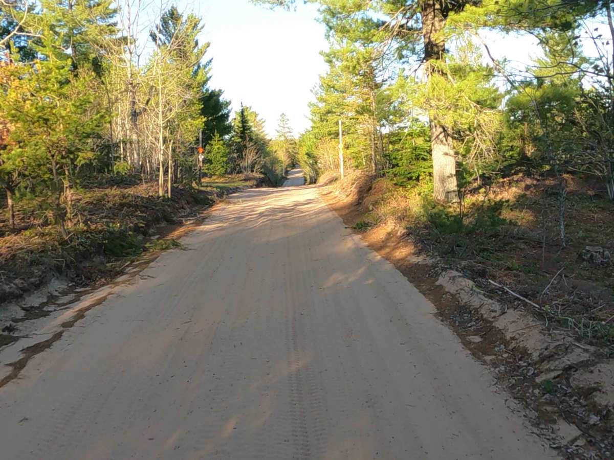
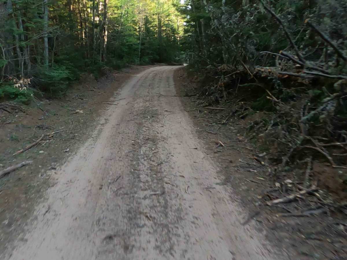
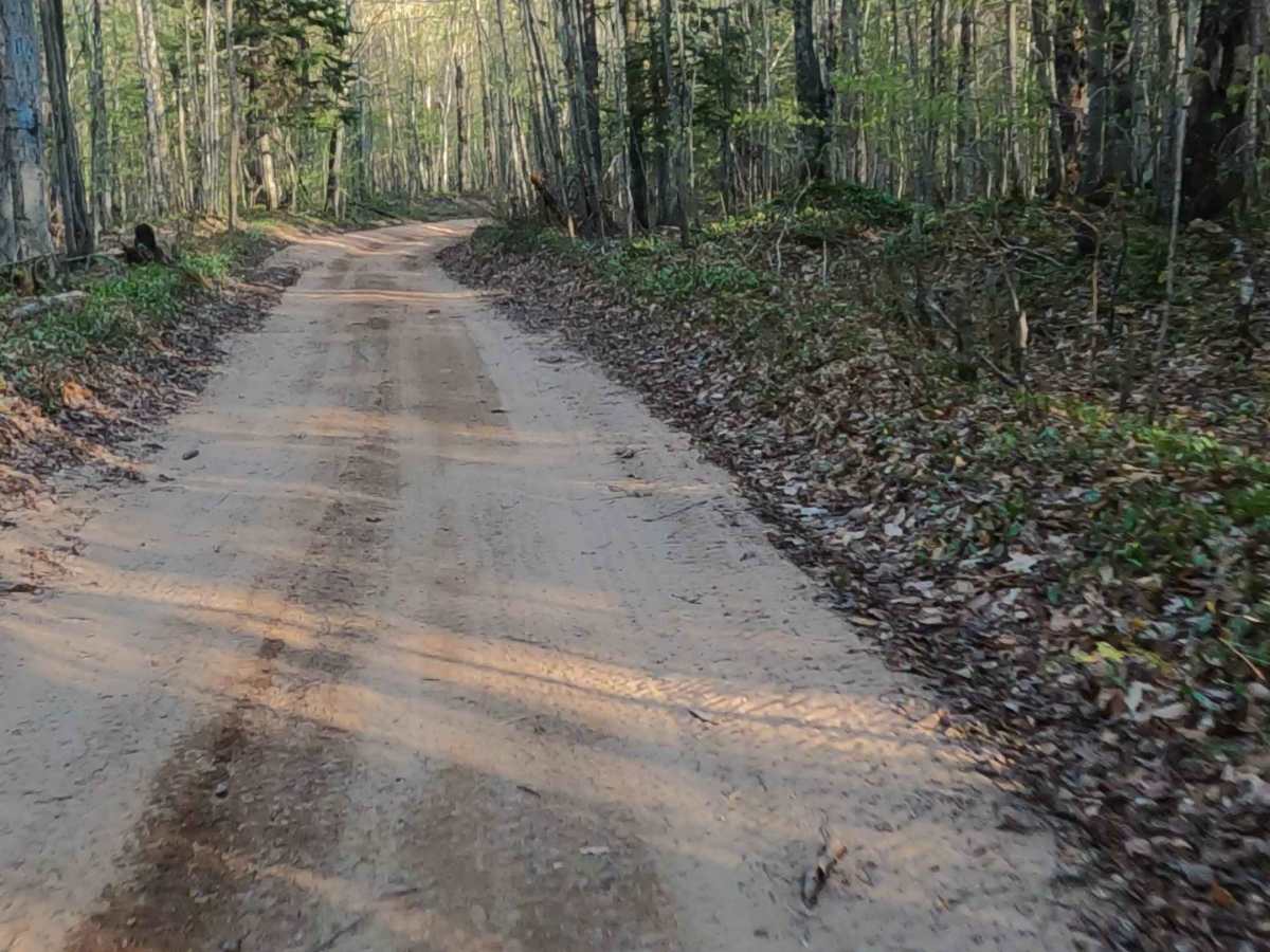
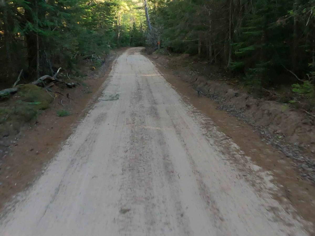
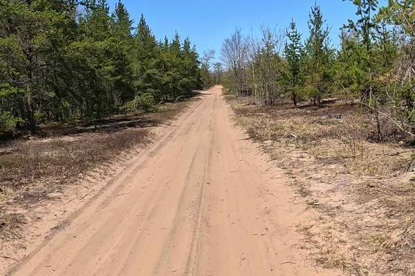
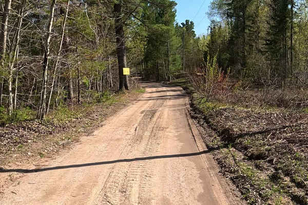
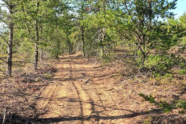
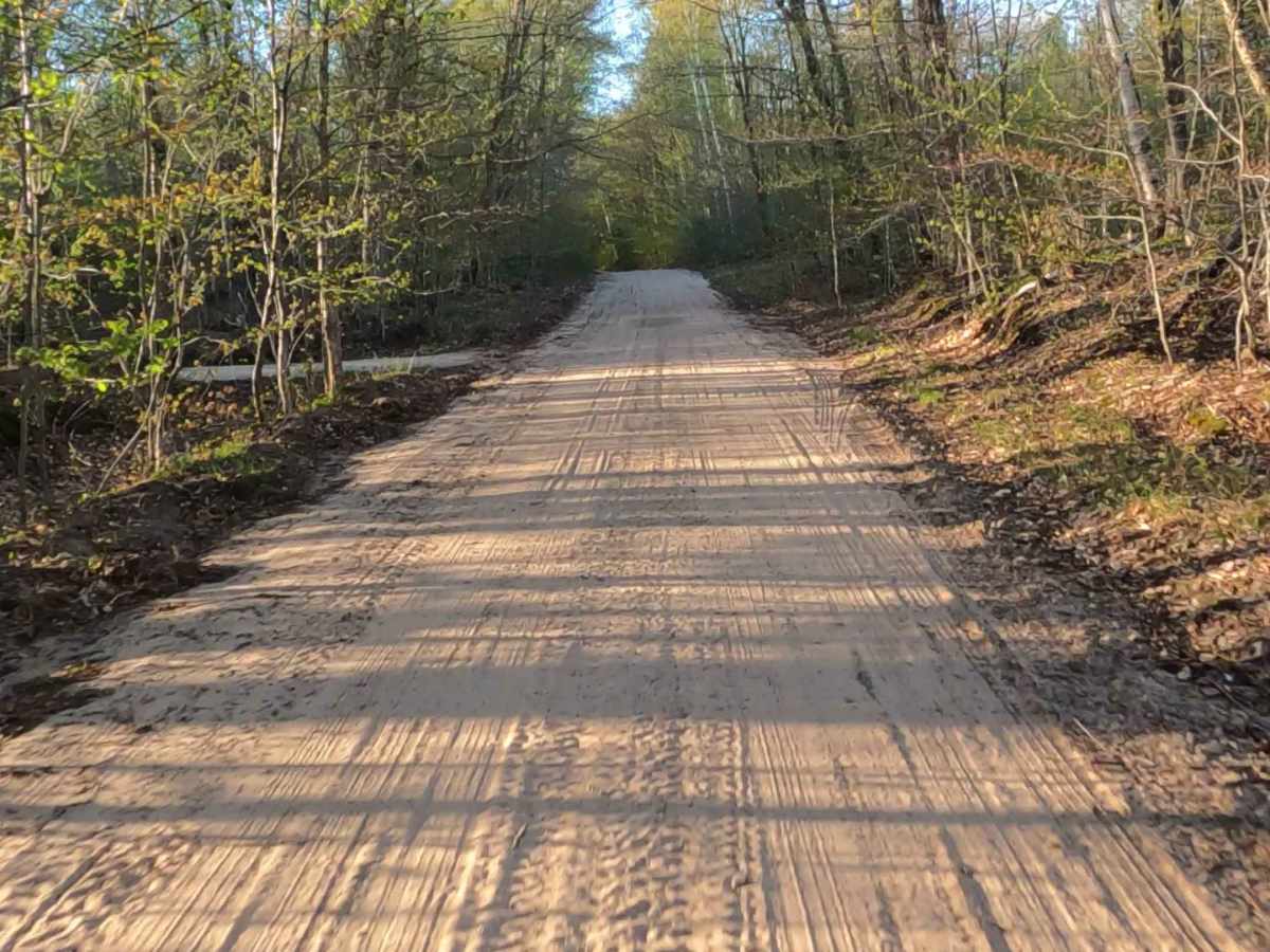
Gichigoomi Trail is a state-owned/ locally maintained, Level-2/ Level-3, "There-and-Back" forest access route with a surface composition of sand, dirt, and native material. As a spur of Station North road, it offers access to forested "Two-Tracks" and the Paradise Pathway hiking trail.

Photos of Gichigoomi Trail

Difficulty

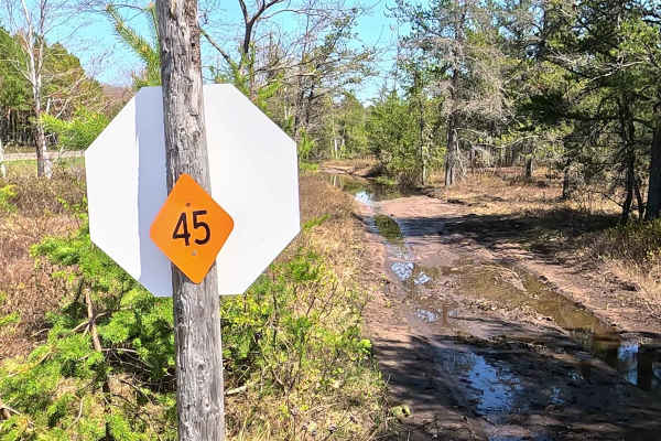
Sand, dirt, gravel route that is typically unmaintained after rain or snow that may give rise to water crossings < 12” and obstacles such as tree/ tree branches.

History

A Station North Road spur that is a sandy forest access road within the western boundary of Whitefish Township's state forest lands, just west of downtown Paradise, Michigan. It was once a crucial boundary marker for the Michigan Department of Natural Resources (DNR), running roughly parallel to Michigan Route 123.

Technical Rating

3

Gichigoomi Trail Trail can be accessed by the following ride types:

  • Single Track
  • 50 Inch
  • 60 Inch
  • High Clearance
  • Full Width

Gichigoomi Trail Map

The onX Offroad Difference

onX Offroad combines trail photos, descriptions, difficulty ratings, width restrictions, seasonality, and more in a user-friendly interface. Available on all devices, with offline access and full compatibility with CarPlay and Android Auto. Discover what you're missing today!

Open Trail Map