Trail Overview
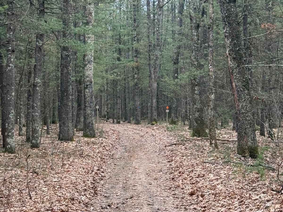
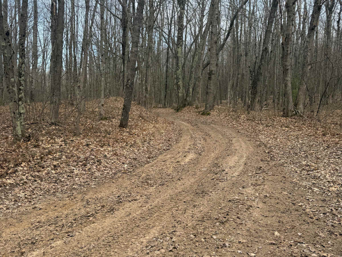
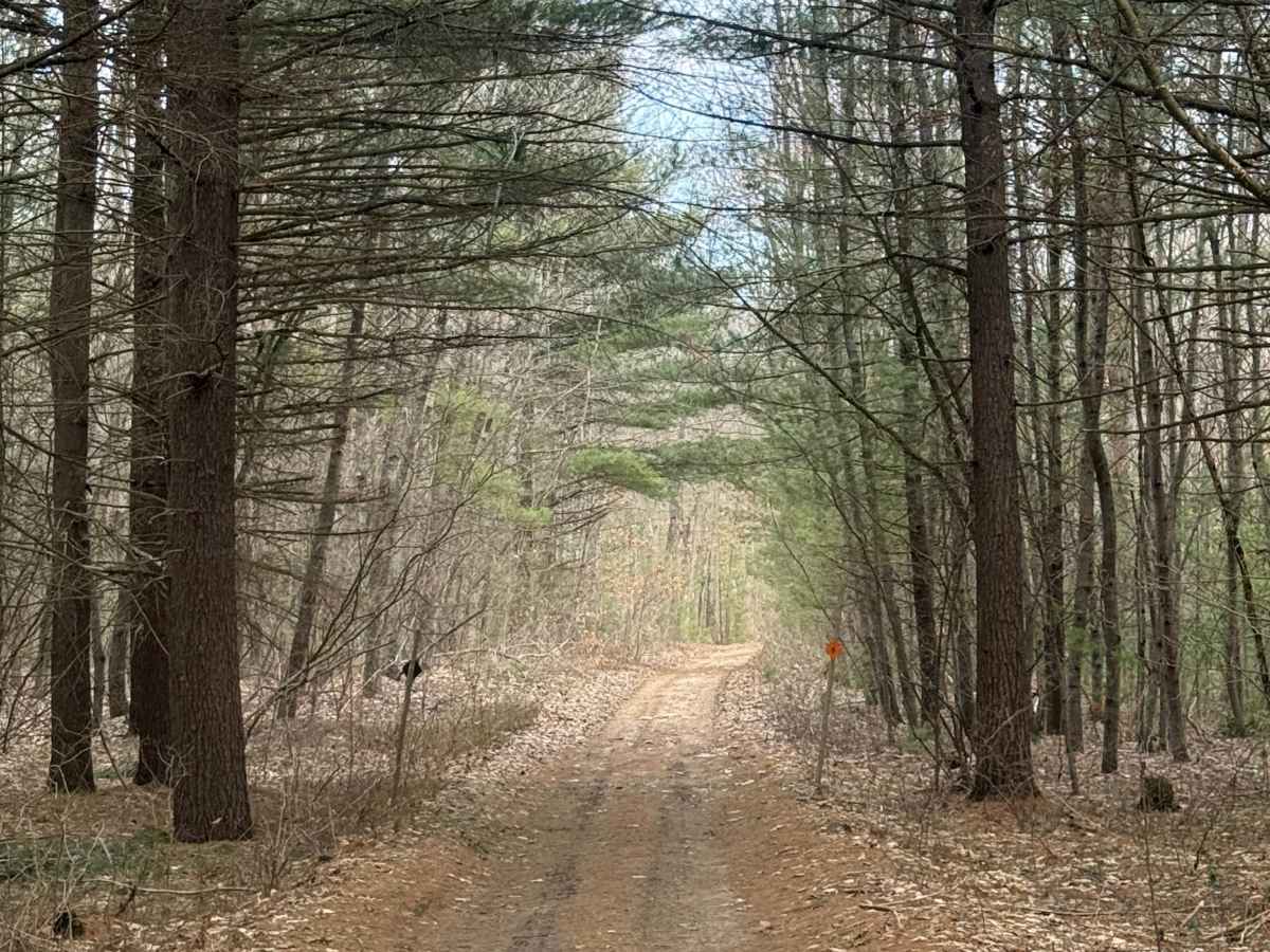
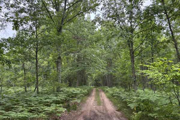
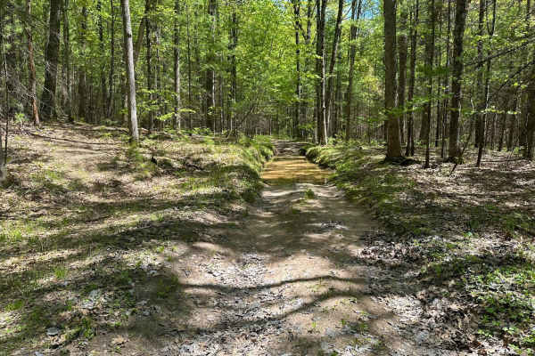
FS 8420 is a scenic 1.6-mile bidirectional forest road in Michigan's Manistee National Forest, offering an easy drive through a quiet and picturesque section of public land. The route connects Udell Fire Tower FS 5207 in the west with Udell Hills Road in the east, making it a convenient link within the surrounding trail system. The trail follows a primarily dirt surface with occasional stretches of sand and gravel, winding through dense forest with gentle curves that make for an enjoyable and relaxing ride.
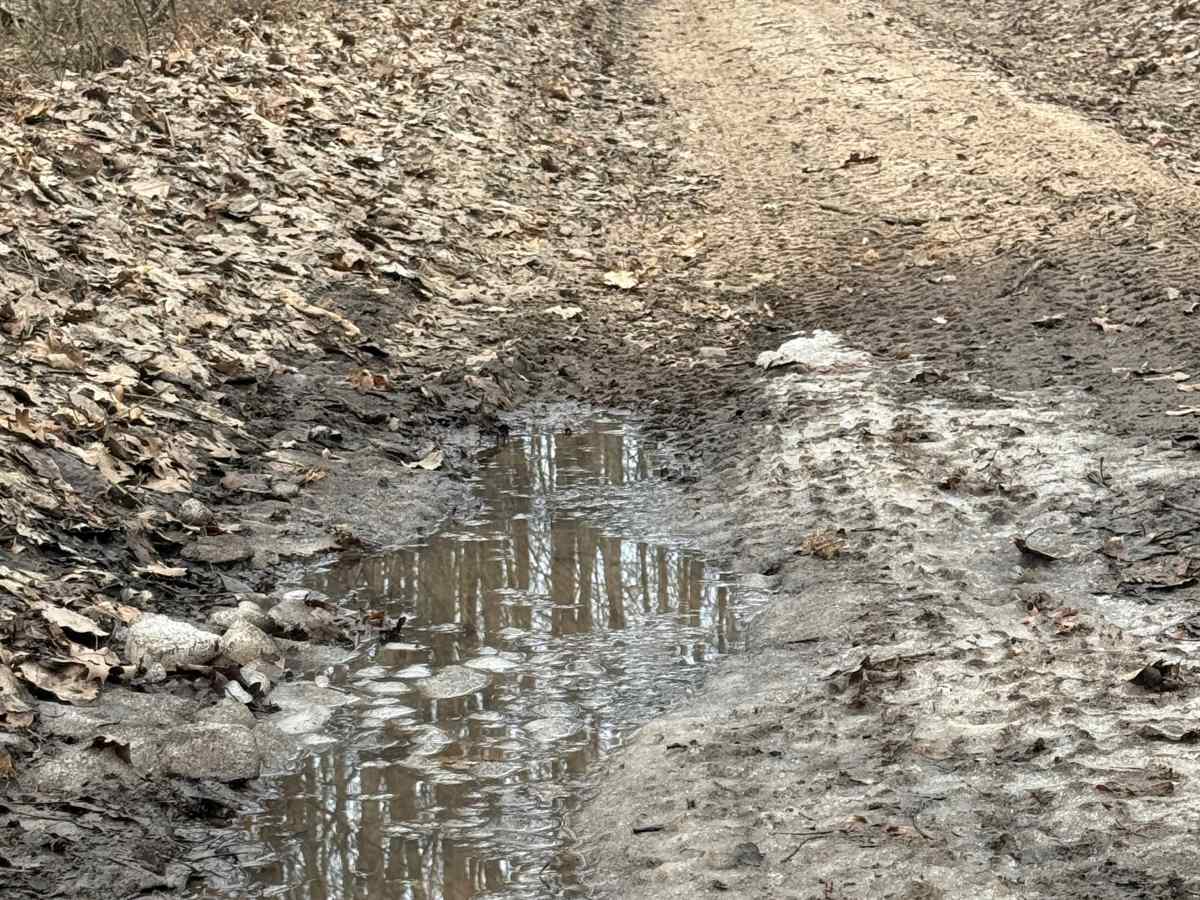
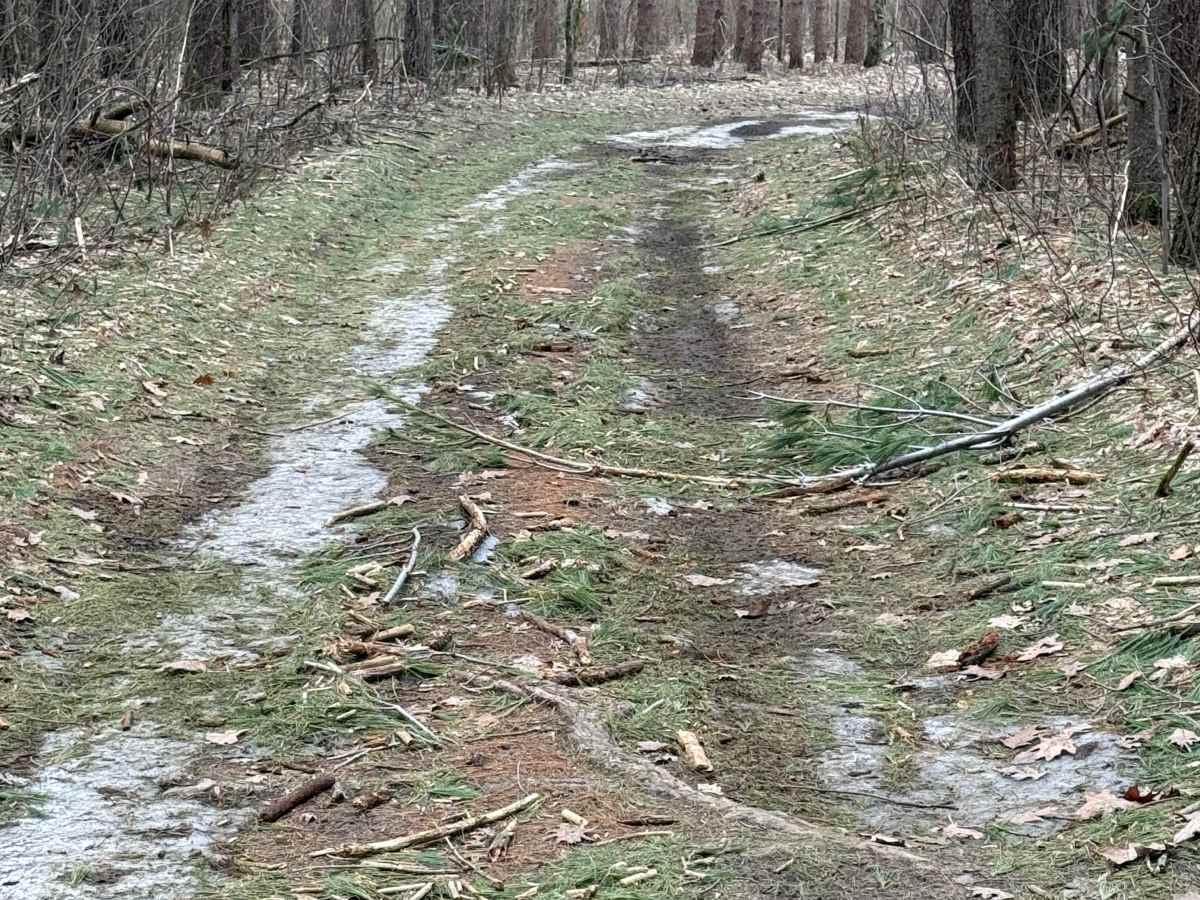
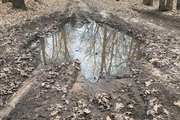
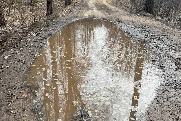
The route has no significant obstacles, though drivers may encounter a few shallow ruts and should always expect changing conditions after heavy rain. Mud, washouts, and downed trees are common on Michigan forest roads following wet weather, so checking current conditions and carrying basic recovery gear is recommended. During the winter, FS 8420 also serves as a snowmobile route, with posted trail signage marking shared use. In addition to providing access to nearby hunting areas and other outdoor recreation, the trail passes near the Bindle Stiff Hiking Trail, making it a great choice for visitors looking to combine an easy off-road drive with time spent exploring Manistee National Forest on foot.

 Offroad