Trail Overview
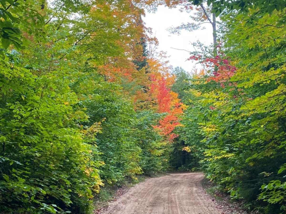
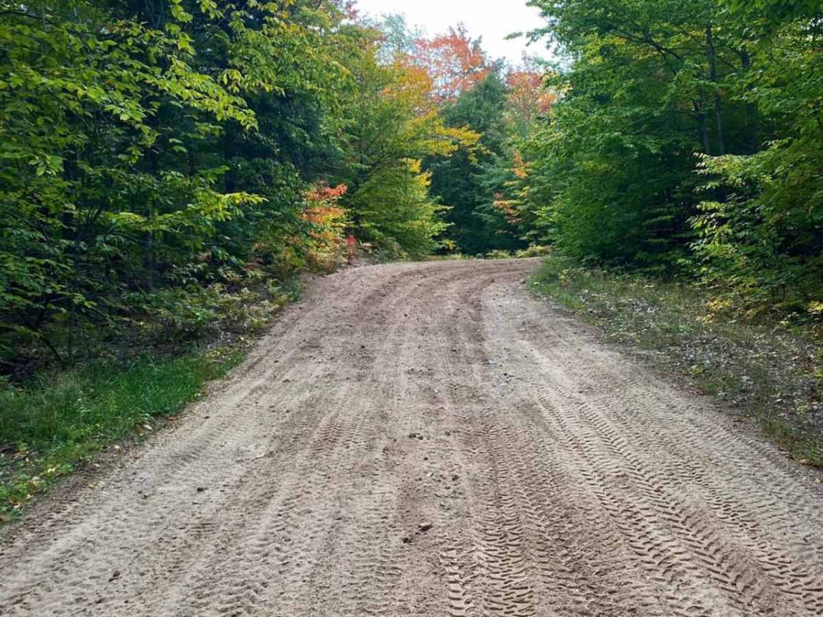
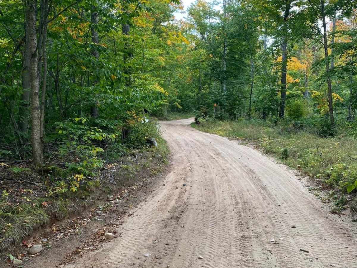
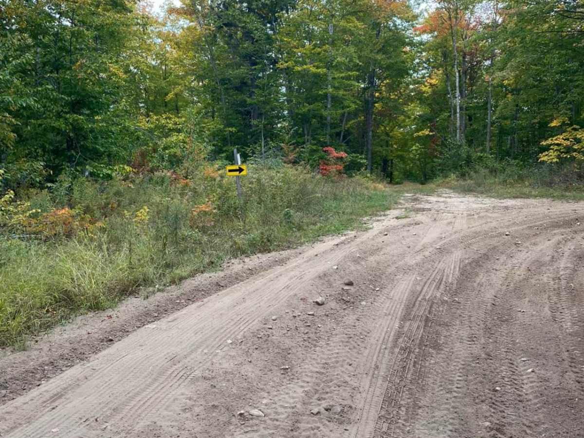
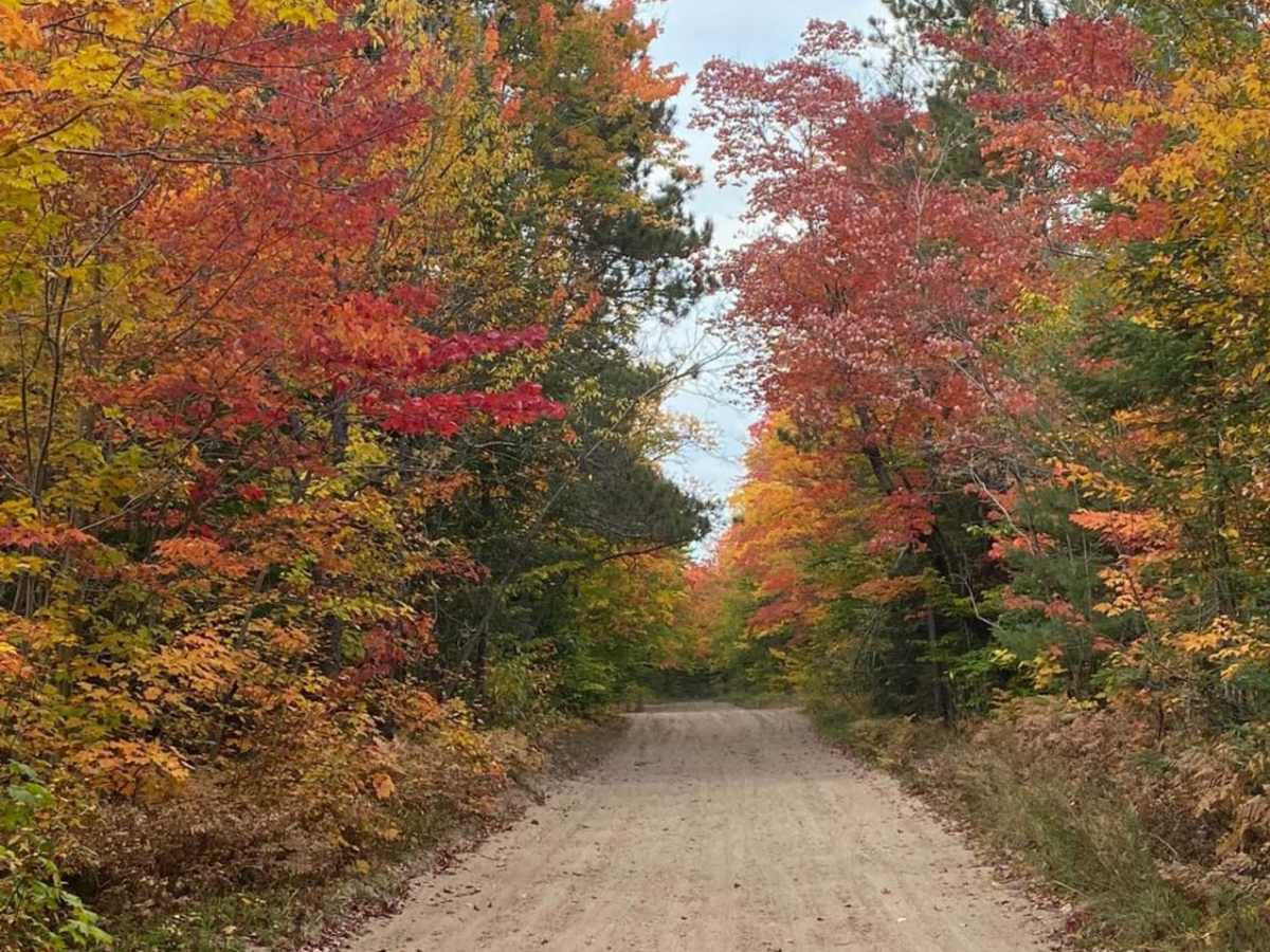
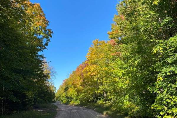
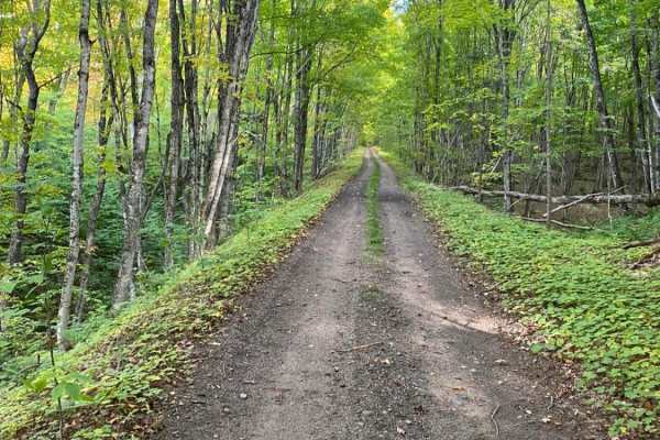
This easy, scenic connector trail in Michigan's Upper Peninsula is perfect for beginners and seasoned explorers alike looking to seamlessly link up popular regional trail systems. Spanning approximately 2.1 miles through the dense forests south of Munising, the CR 578 UP7 Cutover provides a direct and effortless connection between the Ridge Road Trail Loop and Candy Cane Lane - Trail 419, as well as the Munising Loop. The trail consists primarily of a wide dirt and sandy roadbed, maintaining a gentle grade that requires only standard high-clearance vehicles under dry conditions. With elevations ranging from 656 to 866 feet, drivers will experience a modest 198-foot elevation loss traveling west to east, winding through beautiful hardwoods and pines that offer spectacular autumn colors.
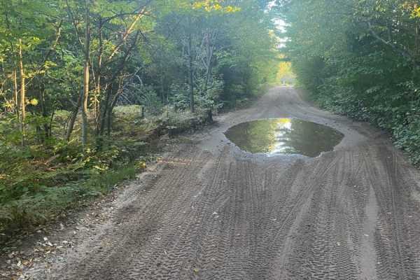
This route is highly accessible for all types of off-road rigs, including stock SUVs, SxSs, dirt bikes, and four-wheel-drive vehicles seeking a relaxed transition between more demanding trail networks. While the hard-packed dirt surface is straightforward and carries a technical rating of 1, loose sand pockets can develop during dry summer months, and muddy conditions are common following heavy rainfall or during the spring snowmelt. The trail is best run from late spring through late fall, offering a peaceful cruise with excellent opportunities for wildlife viewing and forest exploration. Convenient access points on both ends—at Ridge Road on the west and near Perch Lake Road on the east—make it an essential, time-saving connector for planning longer, multi-trail loop itineraries in the Hiawatha National Forest region.

 Offroad