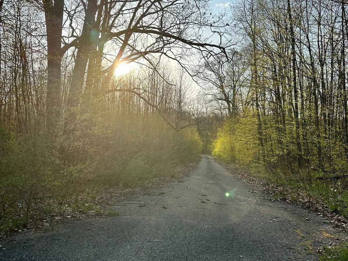
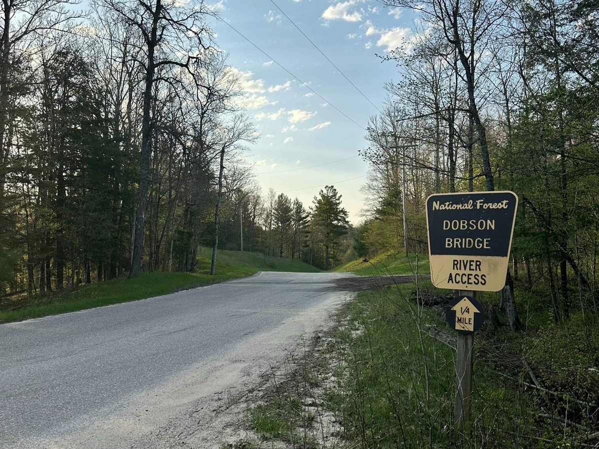
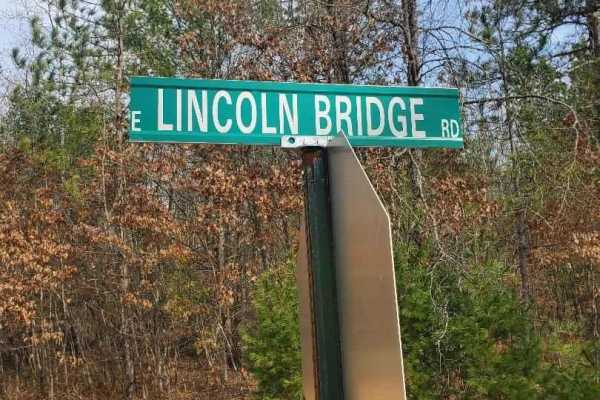
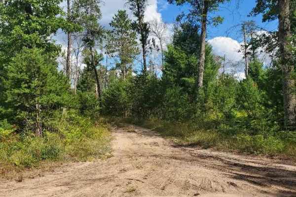
Trail Overview
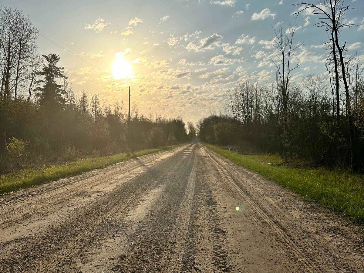
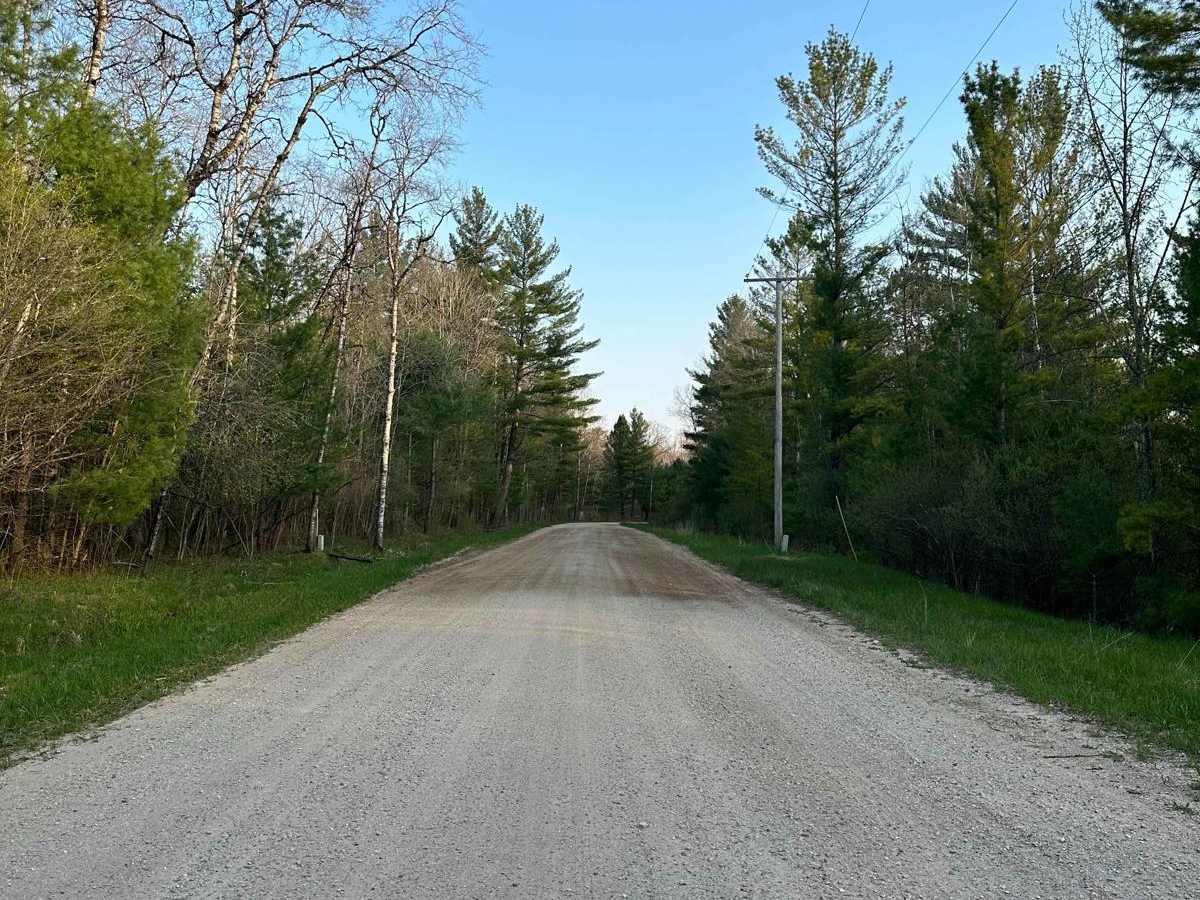
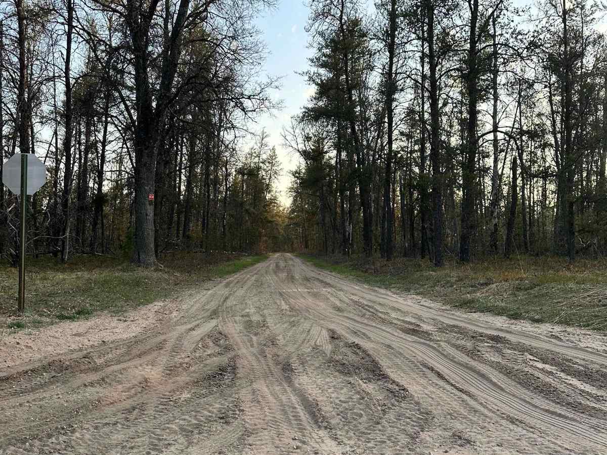
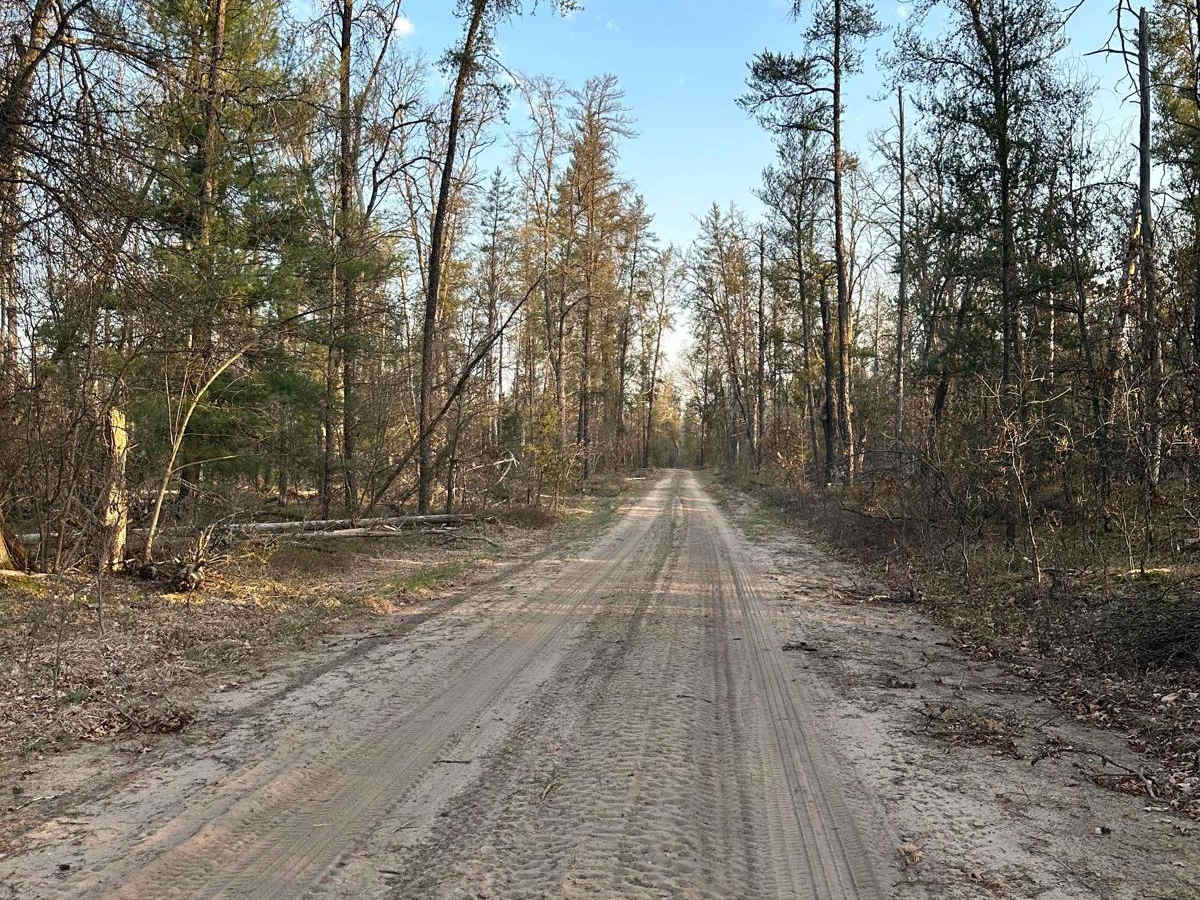
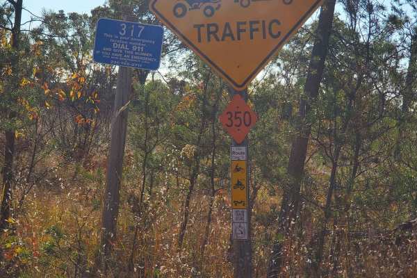
Cadillac Area ORV/OHV Scenic Ride - Part 1 is part of the Cadillac Area ORV/OHV Scenic Ride. This section of the Cadillac Area Scenic Ride is open to all ORV/OHV vehicles. This section is a maintained gravel road. What is an ORV/OHV scenic ride? Our scenic ride is a family-friendly ORV/OHV ride created by the Cadillac Area Visitors Bureau through a collaboration of local organizations working alongside state and federal officials through the national forest on open Wexford County and US Forest Service roads. Is this a Designated Route or Trail? NO. This is not a designated DNR Route/Trail, and it is not a US Forest Service Route/Trail. Simply put, the scenic ride shown here is a recommended ride to great points of interest in the Cadillac Area, where you can experience the beauty of the area along with the Manistee National Forest. Think of a fall color tour, but on an ORV/OHV. Are there more open roads to ride on? YES. This is only a recommended scenic ride on open roads. There are many more roads open to ORV/OHV use in the region. Pick up a copy of the US Forest Service Motor Vehicle Use Map or visit the Wexford County Road Commission website for more information on roads open to ORV/OHV use.