Trail Overview
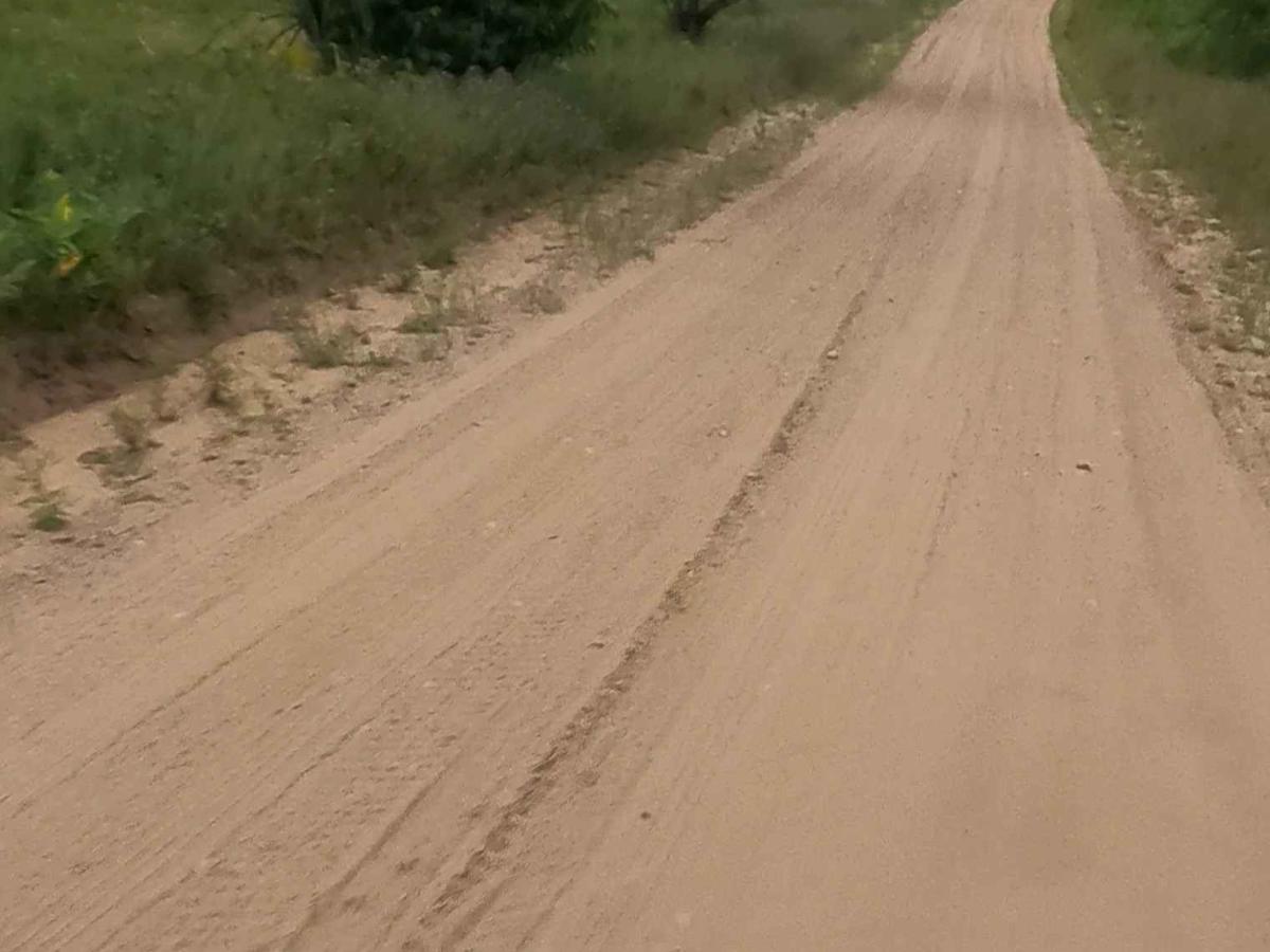
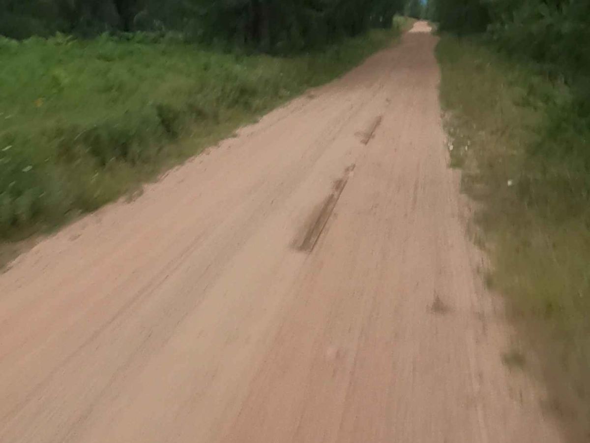
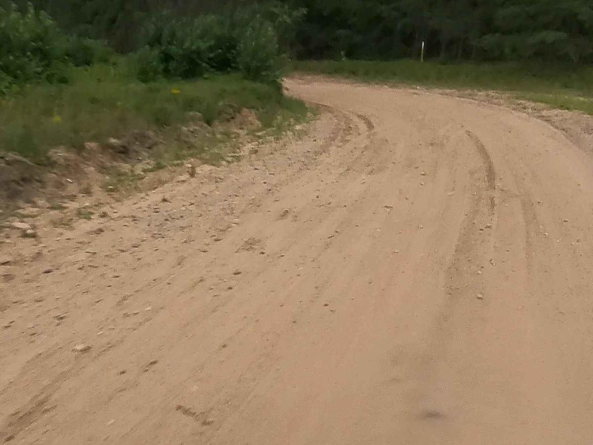
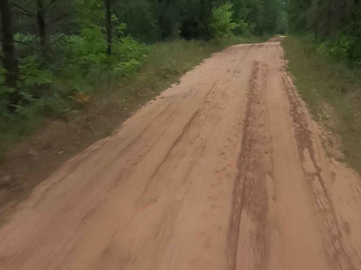
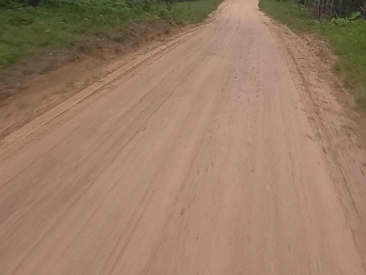
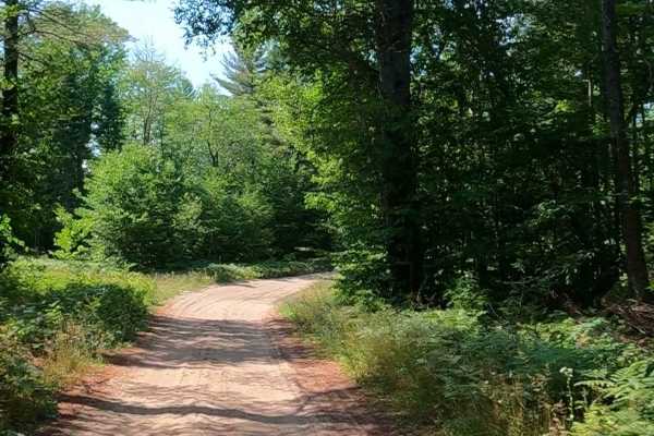
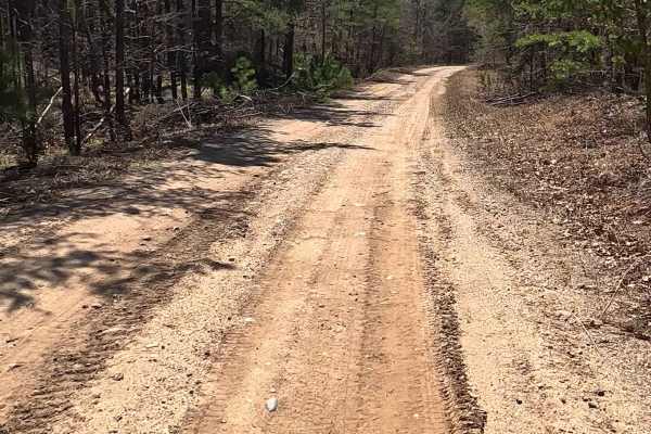
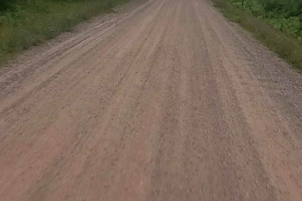
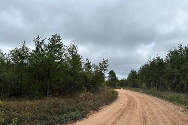
Bryan Creek Road is a non-DNR road with an unspecified owner. The surface is primarily gravel, and the overall condition is considered fair. Since it is not a DNR road, ORV use is subject to local government laws. The road remains open under the current closure criteria. This maintained county road consists of dirt, sand, mud, rock, and native material. It follows the west bank of Bryan Creek and Clear Creek, crossing them at several points along the route.
History
Bryan Creek in Gwinn, Michigan is a Type 1 Trout Stream and a Special Conservation Area (SCA) with a historical connection to logging, as evidenced by the old Camp 10 logging camp and the related recreational trail (Camp 10 Road) in the area. The surrounding landscape also includes muskeg and poor conifer swamps, and the Bryan Creek Corridor itself is a designated SCA.
History of the Area: Camp 10 is an old logging camp, Camp 10, was located in the area of the Bryan Creek Ecological Reference Area (ERA).
Camp 10 Road: The snowmobile and recreational trail #32 is also known as Camp 10 Road, named after this historical logging camp.
Early 20th-Century Activity: Scattered artifacts from the 1910-1940 period have been found in the vicinity, suggesting human activity during that time.