Big Bear Connector

Total Miles4.5
Technical Rating
3Easy
Best TimeSpring, Summer, Winter, Fall
Trail Type50" Trail
Accessible By
Open Trail Map

Trail Overview

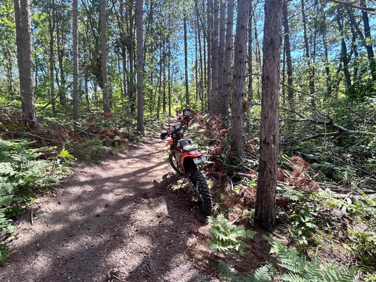
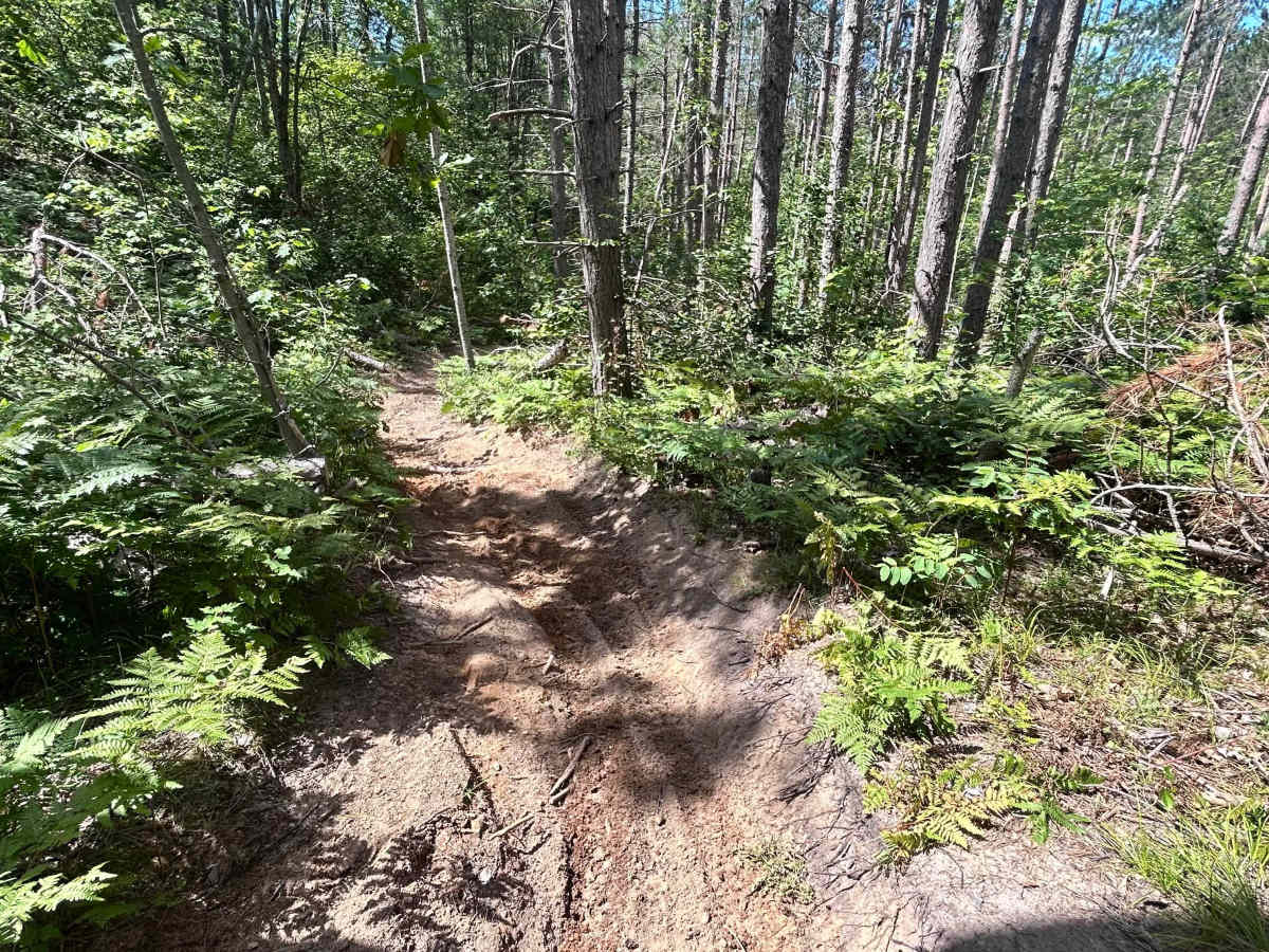
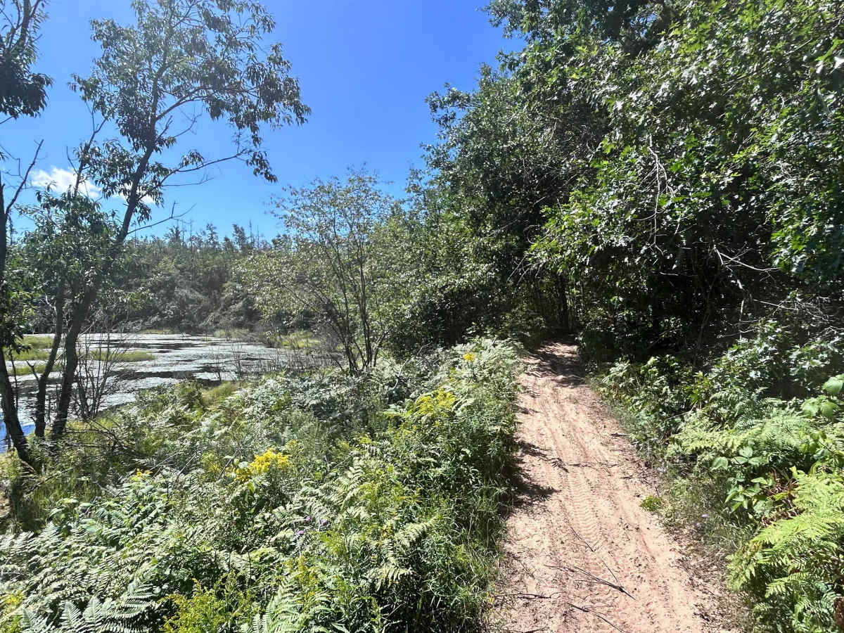
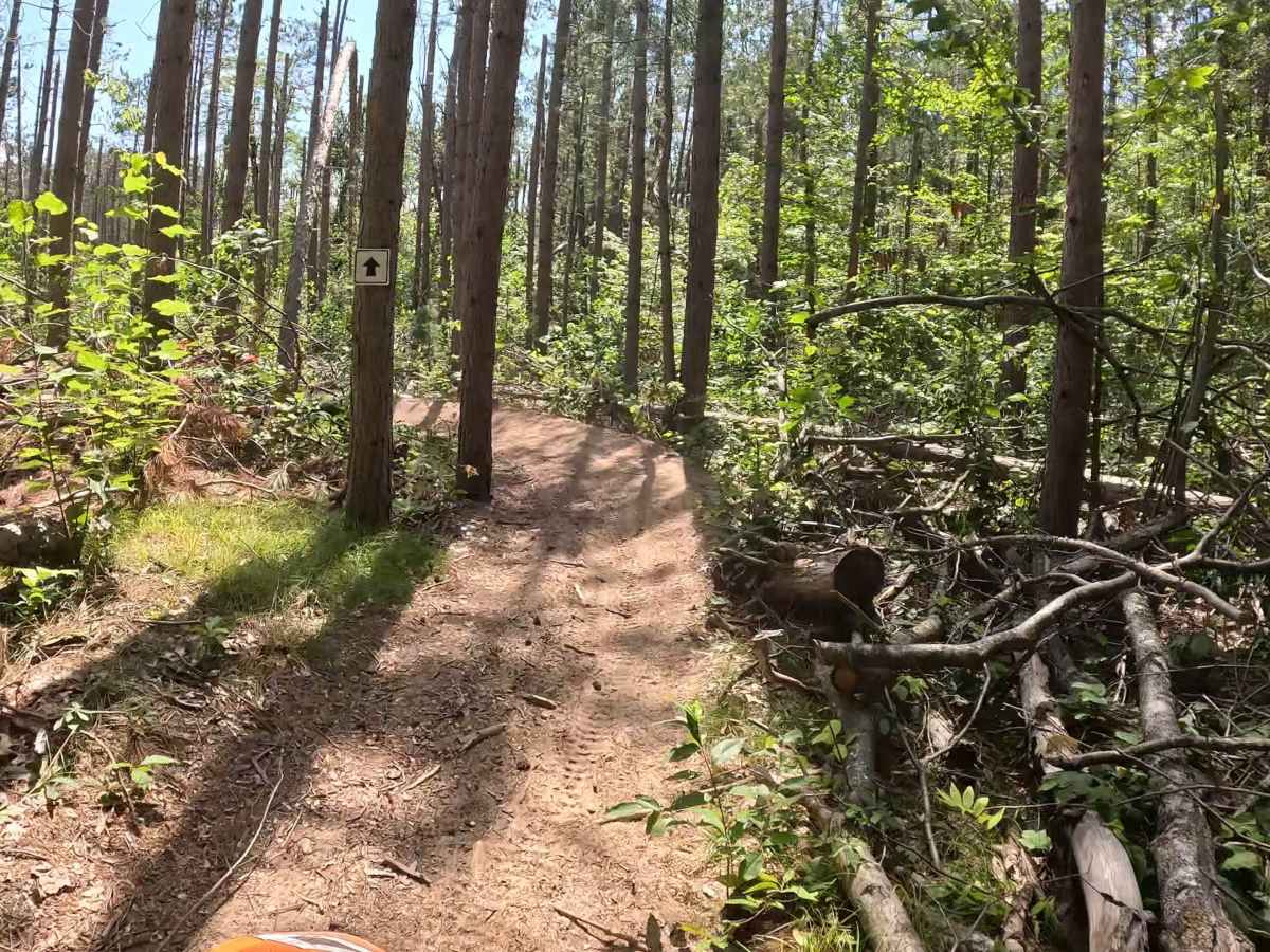
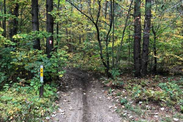
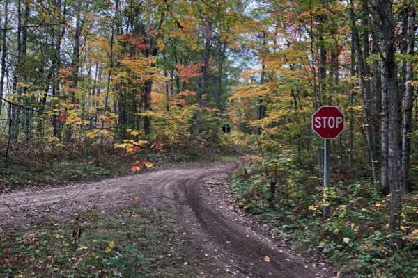
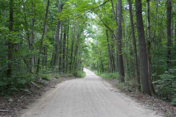
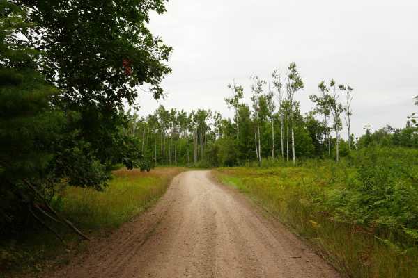
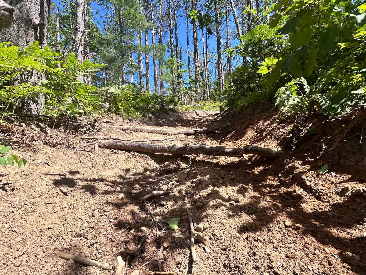
Big Bear Connector is a fifty-inch trail designed to be ridden by 50-inch ATVs, dirtbikes, and quads. The general makeup of this trail is hard-packed sand with some soft sandy spots under a canopy of trees that connects Crapo Trail to Big Bear. There is only one section of the trail with a few exposed roots on a fairly steep hill, which could be intimidating up or down. Be prepared to stop at a few intersections. Otherwise, the trails have some short hills and plenty of sweeping turns.

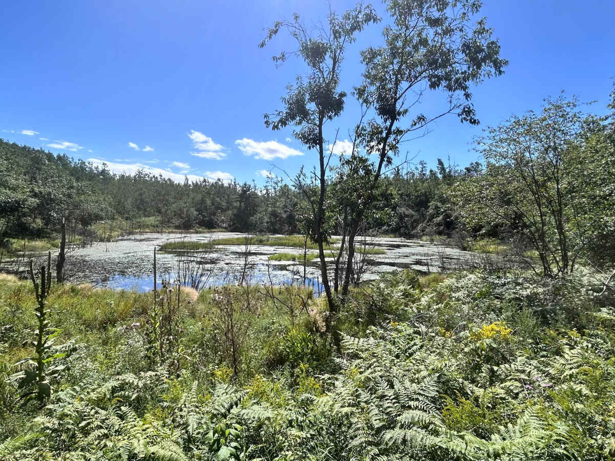
Photos of Big Bear Connector

Difficulty

This trail has recently been rerouted and is no longer washed out or rough. There is only one section that may present some difficulty; it features freshly exposed tree roots about 6 inches in diameter on a steep uphill section. Overall, I would still rate this trail as beginner-friendly, serving as a connector between Crapo and Big Bear.

Technical Rating

3

Status Reports

Add Status Report
Ivan Krasnov
Aug 08, 2026
2026 Honda CRF300F
Open
Normal
The easy rating of the connector trail was deceiving: we went down steep washed out sandy hill with roots and washed out rut and couldn’t get back up. Luckily there was a two track nearby. Unfortunately we aborted our mission to get to Crapo creek from Big bear and rode back full bear loop instead.
Mark Wiersema
May 15, 2026
2020 KTM 500 XCF-W
Open
NormalDusty
Big Bear Connector was in really nice shape. The trails started to dry out later in the day and become a little dusty. Not bad at all though.

Big Bear Connector Trail can be accessed by the following ride types:

  • Single Track
  • 50 Inch

Big Bear Connector Map

The onX Offroad Difference

onX Offroad combines trail photos, descriptions, difficulty ratings, width restrictions, seasonality, and more in a user-friendly interface. Available on all devices, with offline access and full compatibility with CarPlay and Android Auto. Discover what you're missing today!

Open Trail Map