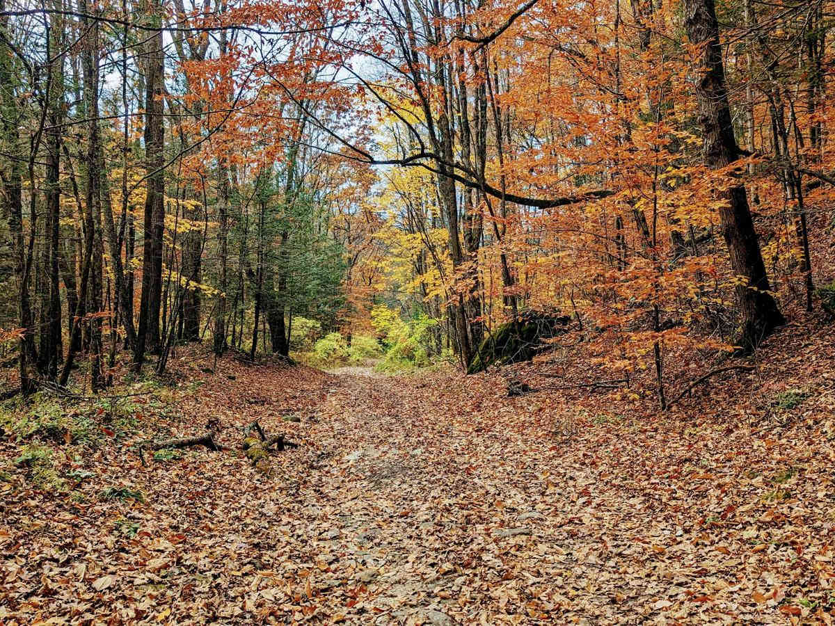
Washington Mountain Road

Total Miles 3.6
Technical Rating
5 Moderate
Best Time Fall, Summer, Spring
Trail Type Full-Width Road
Accessible By
Open Trail Map

Trail Overview

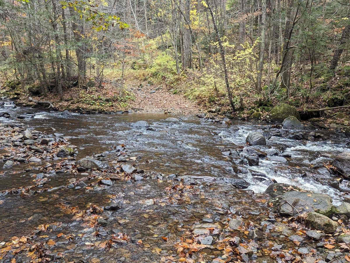
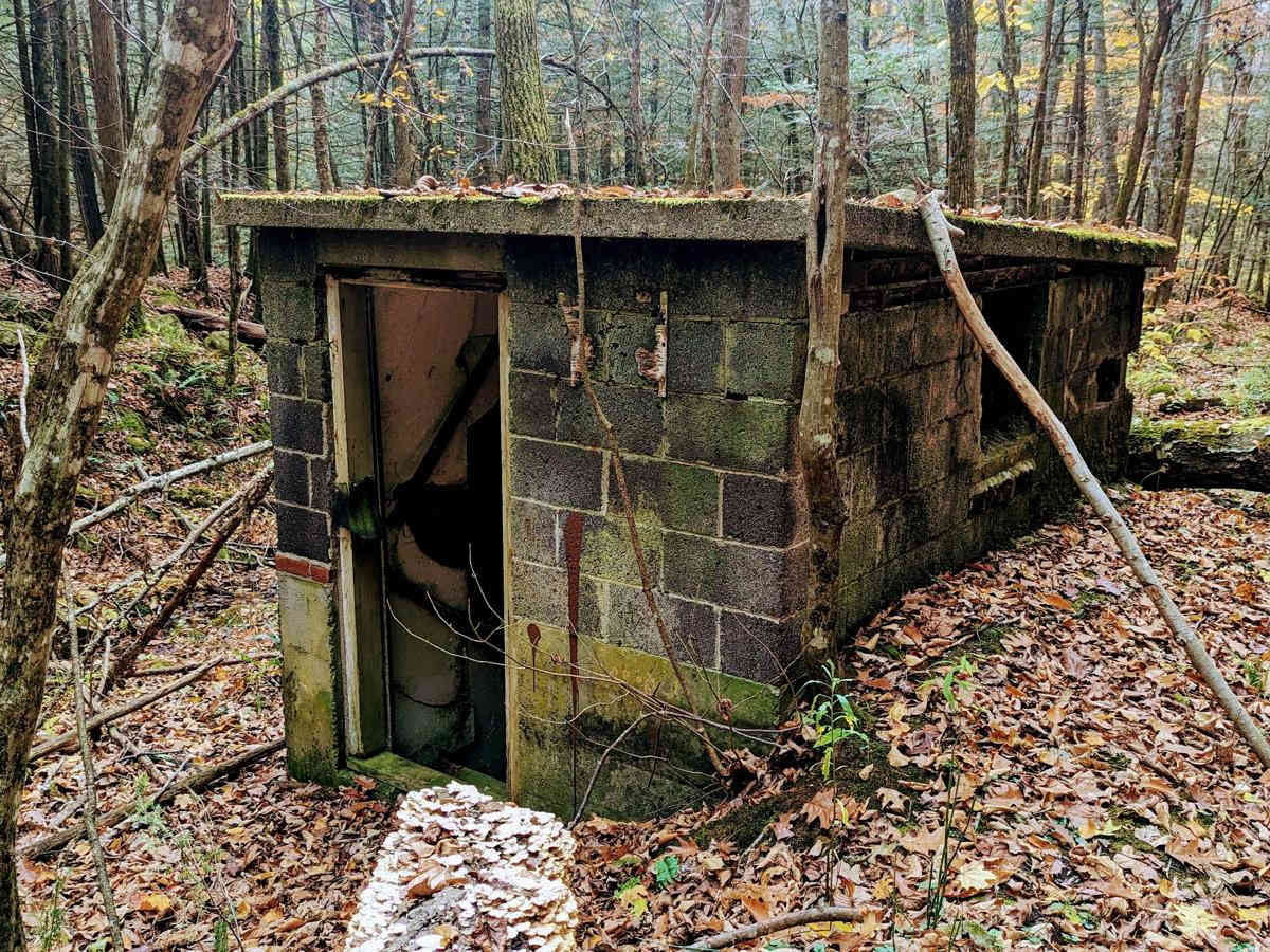
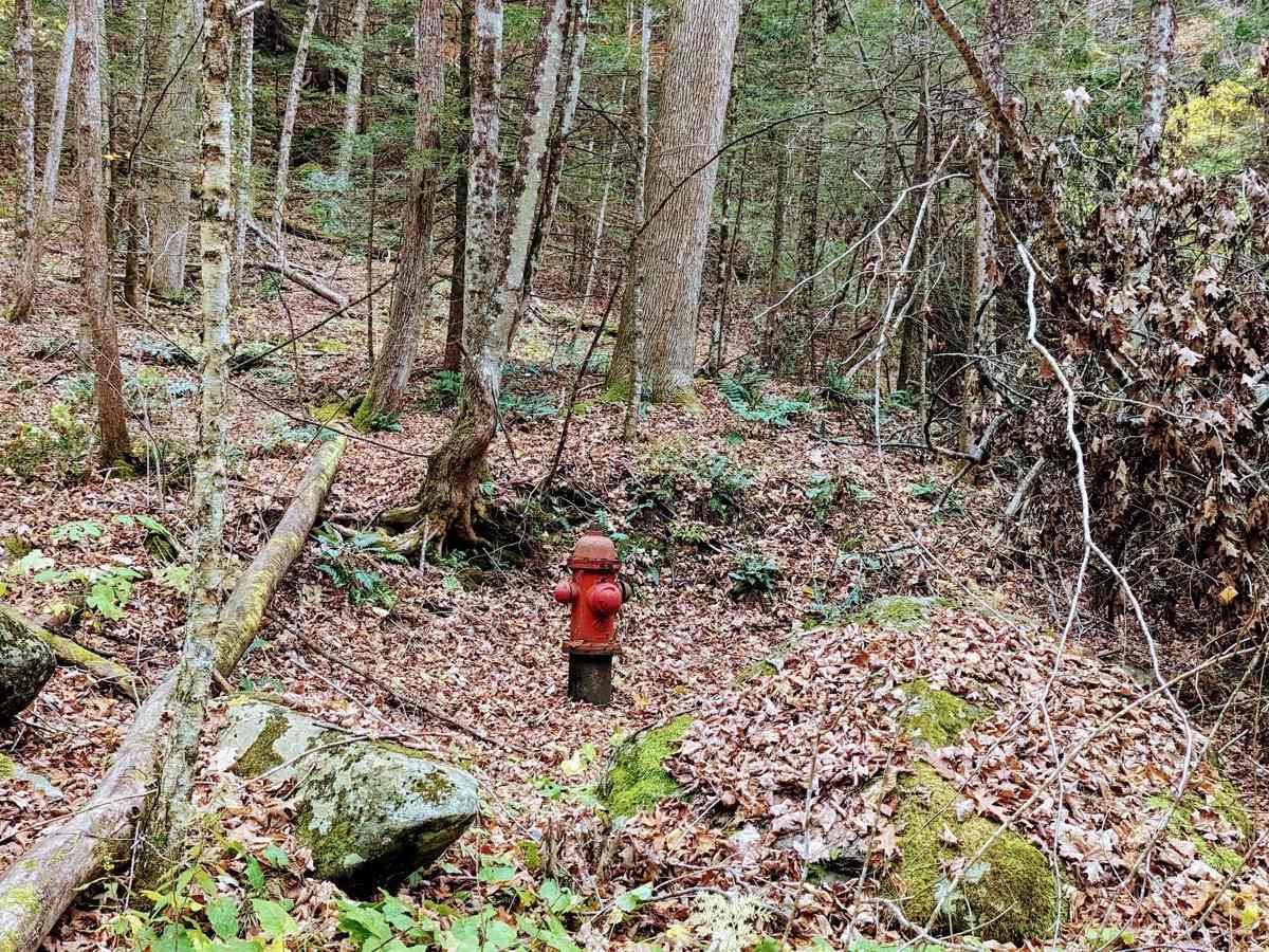
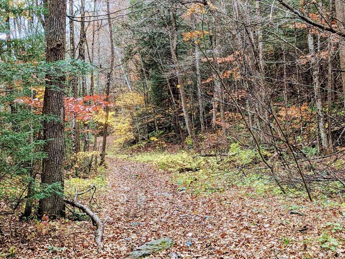
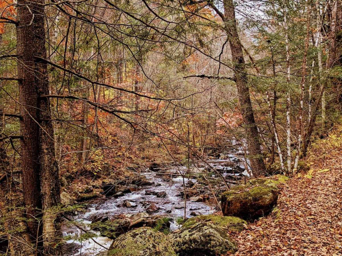
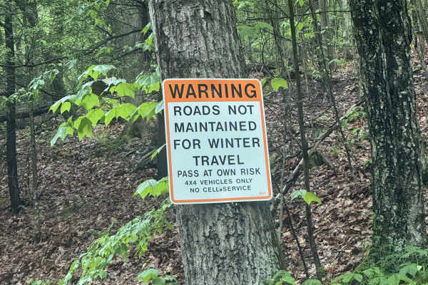
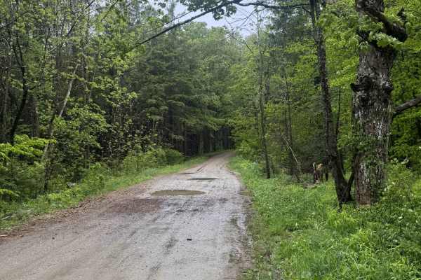
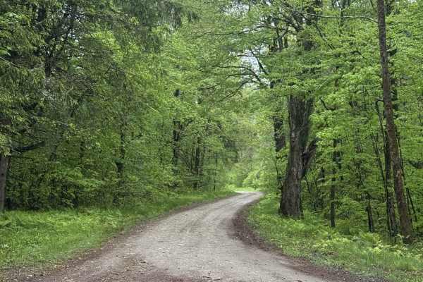
For fans of history's mysteries, this is a can't-miss trail. Hints of a once well-maintained way periodically peek out from beneath years of leaves and decay. However, don't let the fire hydrants and mile markers fool you;missing bridges and decades of erosion make this a moderately challenging trail. The western end of the road is the most challenging, with only two necessary water crossings and several small boulder fields to navigate. This trail also links up to several access roads and several other unmaintained town roads at October Mountain State Forest, so you can easily make a full day of wheeling. While this road is an unmaintained town road, it does exist entirely inside October Mountain State Forest, which limits access by closing gates from the last Sunday in November through May 1st.

Photos of Washington Mountain Road

Difficulty

On the western end of the trail, several boulder fields and one of the water crossings with hidden deep holes and boulders make this an intermediate trail despite the relative ease of the eastern terminus.

History

This road connected the towns of Washington and Lenoxdale, Massachusetts, and skirted the hunting preserve of William C. Whitney, Secretary of the Navy under Grover Cleveland. Whitney imported many non-native animals to his game preserve including American bison, elk, and black-tailed deer.

Technical Rating

5

Status Reports

Add Status Report
David Zicari
Sep 21, 2025
Open
an absolutely gorgeous trail! I would say 40% of the trail is a level 4 with the other 60% being level 3. I travel from south to north and found it to be very enjoyable
Michael Lackman
Aug 02, 2025
Open
Thanks to everyone that’s been keeping up with the fallen trees! Note for the casual traveler, the eastern most bridge is sketchy! The water crossing is a much better option. The middle river crossing exit heading east was definitely the crux for us pushing the limits of the clearance on the pointed rocks.
Cenk Yurtsever
Jul 20, 2025
Open
Marshall Seigle
Jul 13, 2025
Open
We came from the east so it was fairly easy till you get to this creek crossing which has a steep slope with 1-3 foot boulders which will require a spotter. The creek itself has a hole that you may drop into which can possibly bump your frame but not really a big deal.We made it with our wrangler on 33s and friends in a new ranger on 33s
Aaron L
Jun 30, 2025
Open
Pretty tame other than a small rock garden near one of the creek crossings. I cleared it without stacking rocks in a gladiator on 33s, though, so no stress. Nice trail, would run again.
Danny Modzelewski
May 29, 2025
Open
95% of the trail is a mild bumpy green, there’s just one creek crossing section with a few nice sized rocks that are probably to much for your average stock truck to get thru without dragging the belly (a stock wrangler 2 door would probably be fine)
Nicholas Tiratsuyan
Apr 27, 2025
Open
The second water crossing from the west side definitely earns its rating. Skid plates and a good spotter are required
Jonathan Chisholm
Nov 16, 2024
Open
So in my opinion this trail is only a 4/10 rating, the water crossings were much easier than they looked online, and the largest rocks were still passable by an almost stock 2dr jeep, with pretty much no scraping. Some washouts and pretty uneven otherwise, easy trail.
Ryan Menzie
Sep 08, 2024
Open
Skeptical of the rating but was proven wrong at the second water crossing. Definitely deserving of a 5. Starting from the west, the first water crossing is about a 3 depending on rain conditions. Second water crossing has a steep, rocky exit. Stock Taco TRD Pro and stock 3rd gen Ram 1500 made through with a smart line and good spotting with minimal scraping on skid plates. Tread lightly and definitely not alone in a stock vehicle.
Chris W
Aug 11, 2024
Open
Relatively easy going throughout, two water crossings. The second water crossing has a steep bouldery exit that could be easy to get caught up on.
Paul Desautelle
May 28, 2024
Open
This trail allows ATV’s and is marked as such. Nice ride. A little bumpy at some points but overall not bad. I went about half way down from parking area for the School House Rd Trail.
Ford Bronco
May 11, 2024
Open
Best coming from west side. Couple fun river crossings.
Wyllker Pinto
May 04, 2024
Open
Challenging second water crossing into steep hill with boulders. Would not recommend this route for stock vehicles.
Kevin O
Feb 08, 2024
Open

Washington Mountain Road Trail can be accessed by the following ride types:

  • High Clearance
  • Full Width

Washington Mountain Road Map

The onX Offroad Difference

onX Offroad combines trail photos, descriptions, difficulty ratings, width restrictions, seasonality, and more in a user-friendly interface. Available on all devices, with offline access and full compatibility with CarPlay and Android Auto. Discover what you're missing today!

Open Trail Map