Trail 31

Total Miles1.1
Technical Rating
4Moderate
Best TimeSpring, Summer, Fall, Winter
Trail TypeHigh-Clearance 4x4 Trail
Accessible By
Open Trail Map

Trail Overview

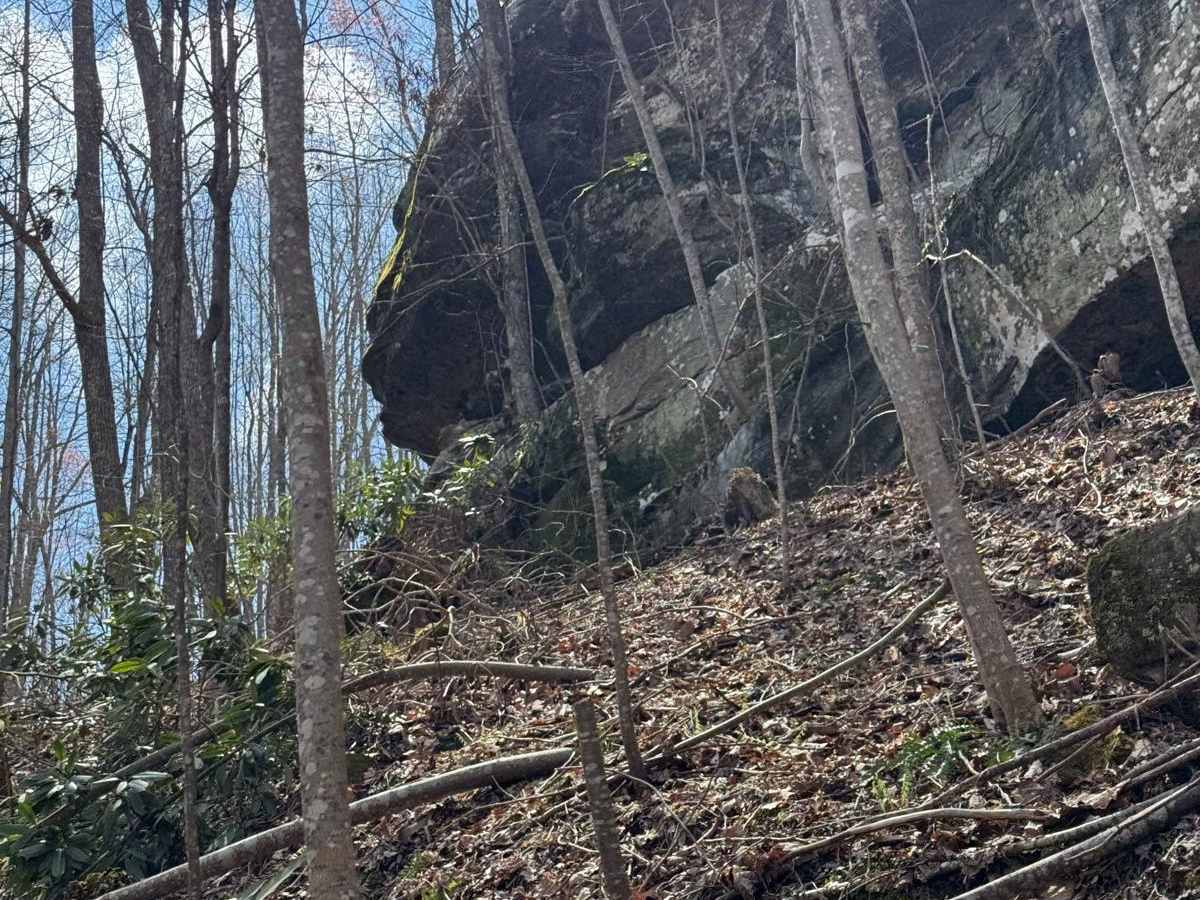
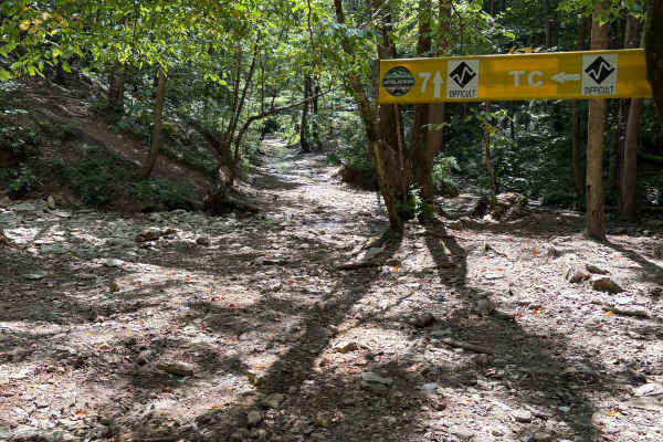
Trail 31 runs from Trail 29 to Trail 16 and 12. This trail is between the area of Billey Fork and Red's Hollow Roads. There are a couple of elevated ridge points along this trail for good views and overlooks to spot and enjoy the sights on the far west end of the park.

Photos of Trail 31

Difficulty

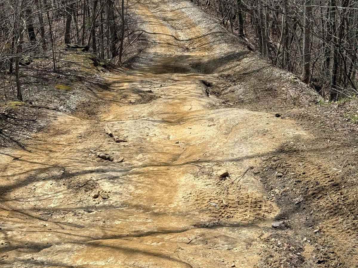
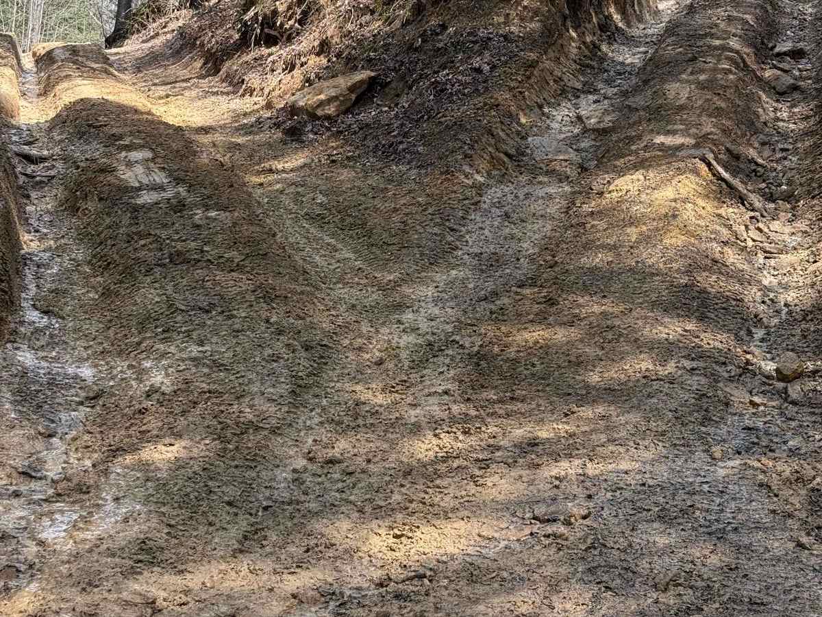
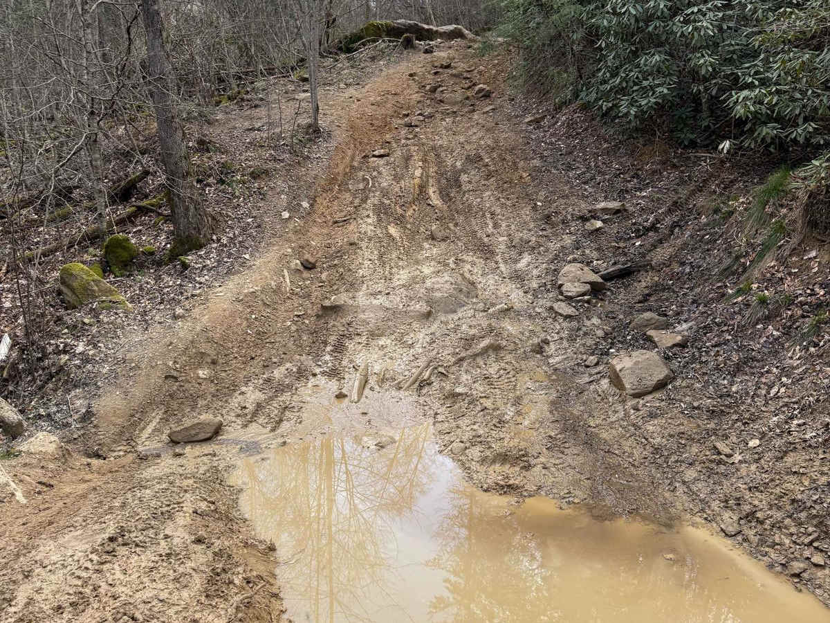
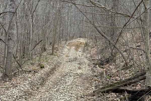
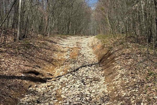
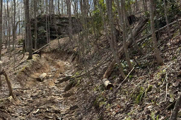
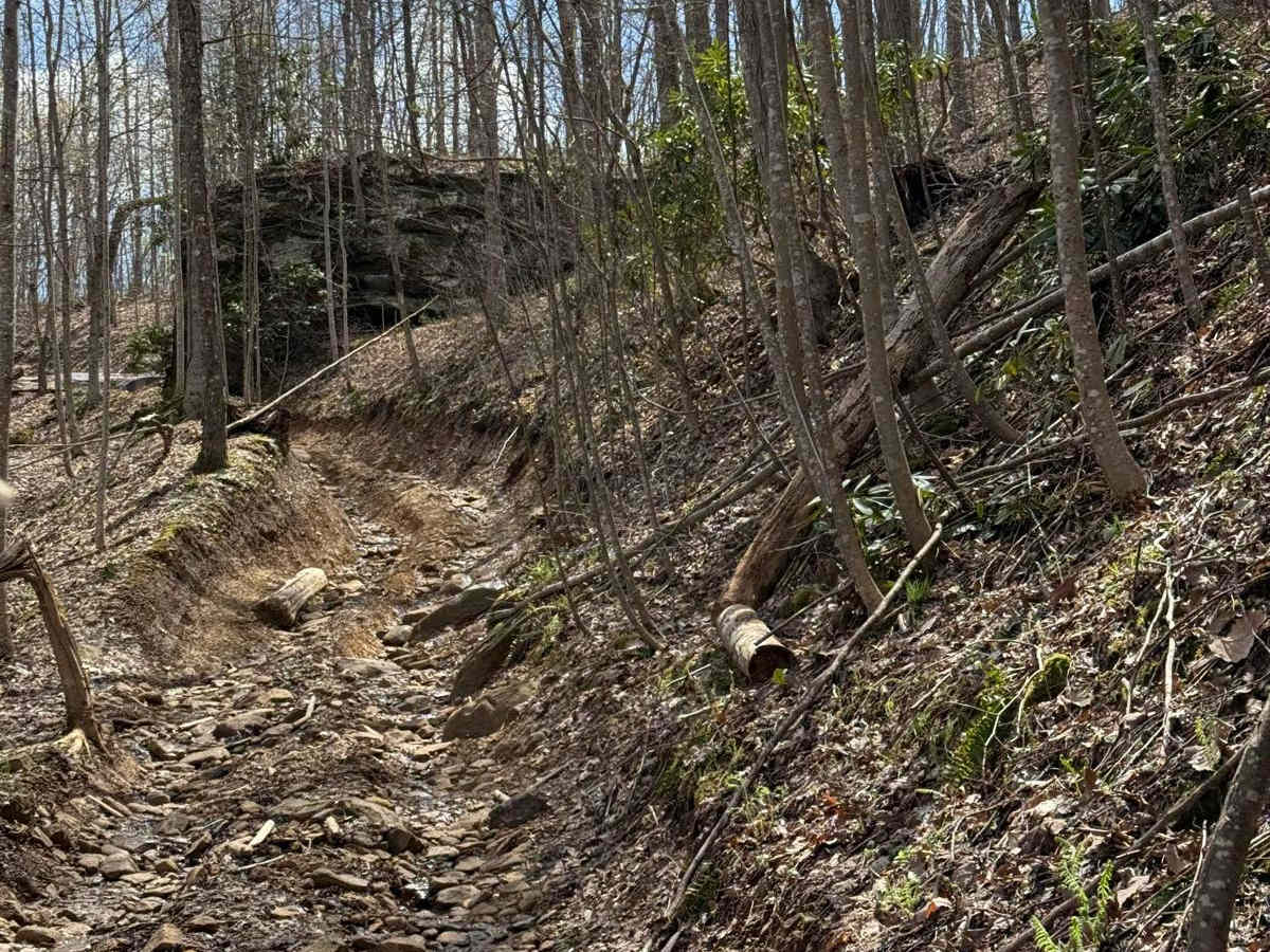
Several obstacles and inclines/declines where the ruts and ledges are up to 18 inches. Some parts of this trail are tighter and narrower, making it difficult for multiple vehicles to pass.

Technical Rating

4

Trail 31 Trail can be accessed by the following ride types:

  • Single Track
  • 50 Inch
  • 60 Inch
  • High Clearance

Trail 31 Map

The onX Offroad Difference

onX Offroad combines trail photos, descriptions, difficulty ratings, width restrictions, seasonality, and more in a user-friendly interface. Available on all devices, with offline access and full compatibility with CarPlay and Android Auto. Discover what you're missing today!

Open Trail Map