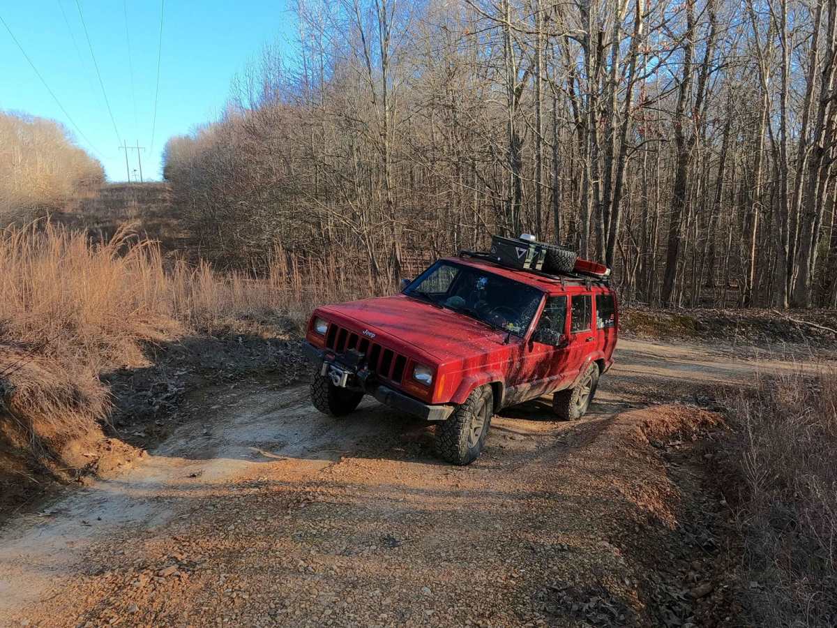
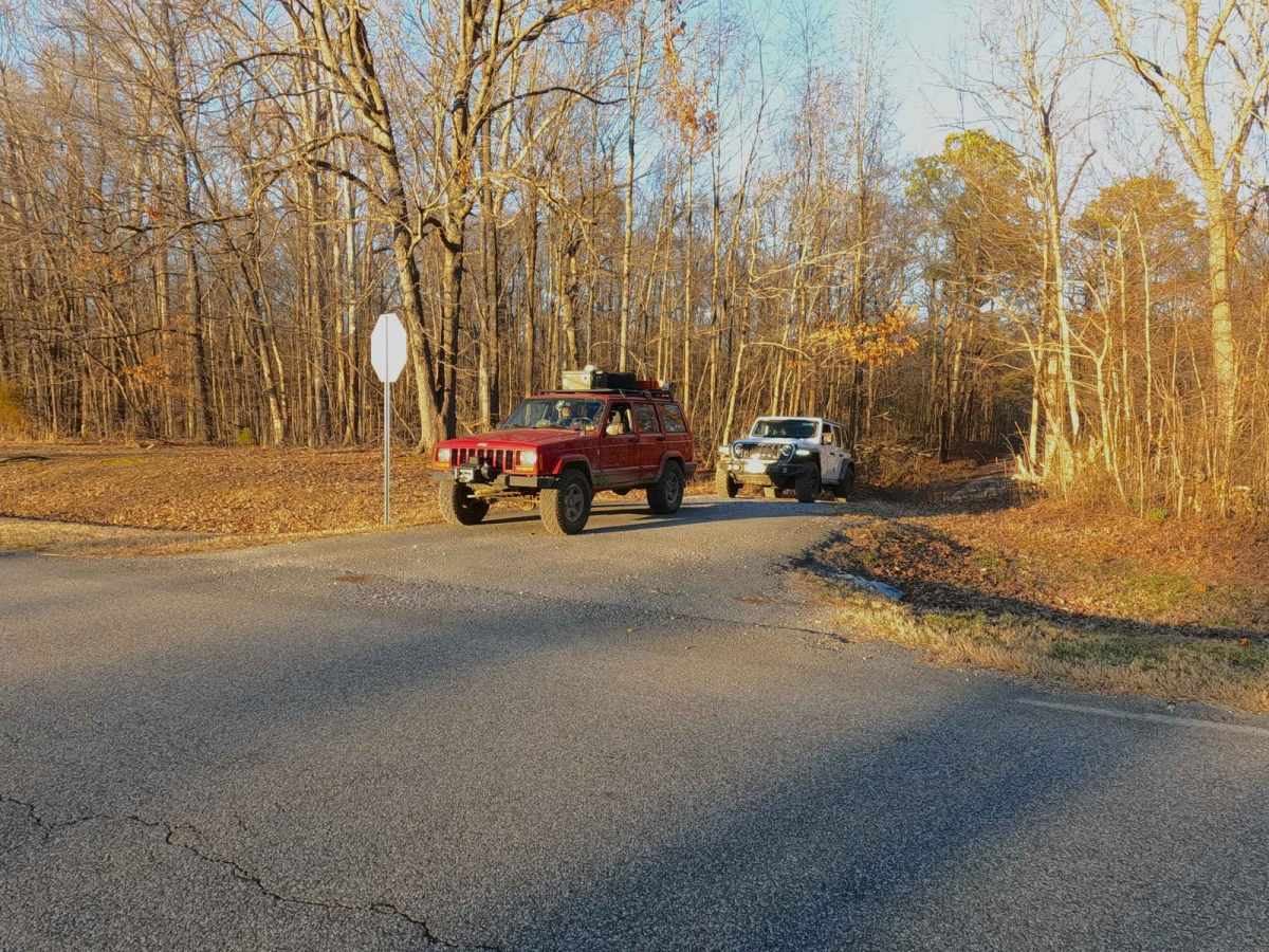
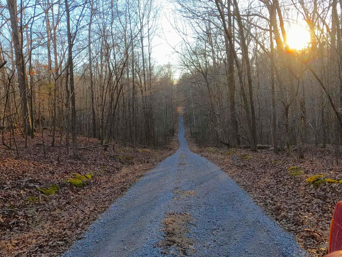
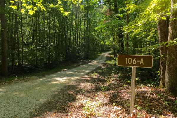
Trail Overview
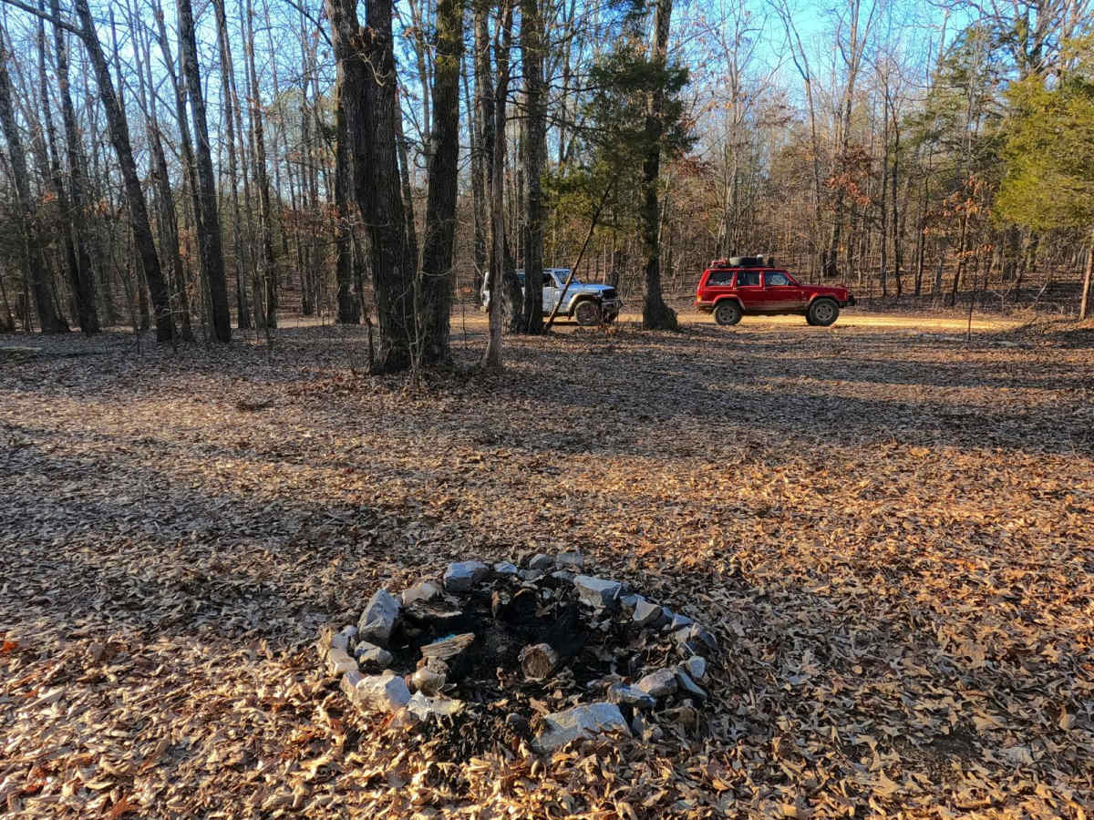
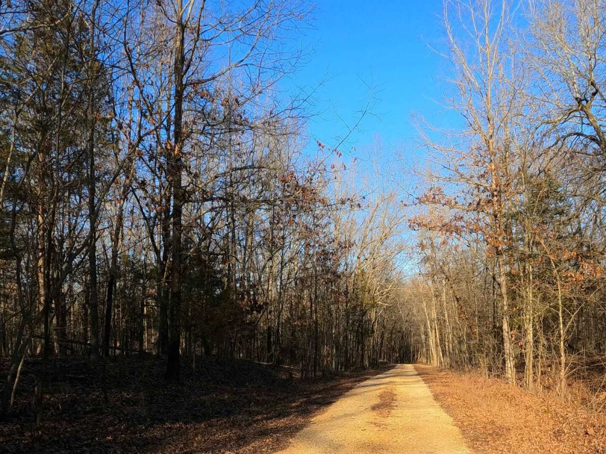
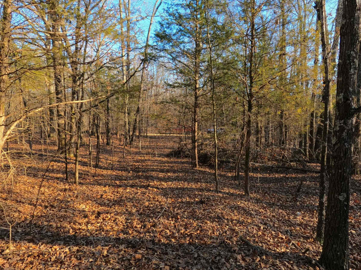
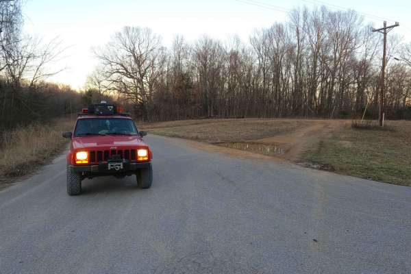
Powerline Road FS 302 is a gravel--turning full natural--Forest Service road through the northwest corner Kentucky section, Lake Barkley side, of the Land Between the Lakes National Recreation Area. The first east-to-west section of this road features small rolling hills and beautiful tree lines. Midway in this stretch is a campsite cut-out at 36.97263, -88.19233. If parked near the camp cut-out, to the north there is a hiking path to an old homestead and abandoned truck. These can be found at 36.97363, -88.19314, and 36.97357, -88.19369. Continuing on the trail quickly reaches the powerline trunk at 36.97447, -88.18774. This is where the trail turns hard north and also transforms from a gravel road to a full-on natural dirt-based road--who turned the light switch? The road features heavy rutting, soft sections of dirt to deep mudholes, tight treelines, off-camber washes, and even more deep mudholes until it meets a ridgetop overlooking the north bend of Lake Barkley, at which it hits a Y-style 3-point turnaround spot at 36.98194, -88.18695. All in all, this trail is a great well-rounded trail, featuring a sample-size taste of the different draws and interests LBL is known for. It features history, sightseeing, trailside camping, and easy riding up to a moderate example of a thrilling trail.
Difficulty
Powerline Road, on its east-to-west section, is a 1/10 for this first half of the trail. If you are looking to see the history or useable campsite, fear not, but at the midway point as the trail turns north, it immediately changes and ramps up to a 3/10 with washes and hard ruts over a mild graded hill. It then starts encountering mudholes with depths ranging from 6 inches up to 24 inches. If in doubt, probe it out--these are soft-bottomed and can easily swallow a vehicle if not properly prepared. This gives the trail a medium-demanding 5/10 base rating. There is also a washed-out turn that requires a vehicle to ride off-camber on the inside of the turn--think the opposite of a dirt race track--and then the trail hits more deep rutted mudholes before climbing one last mild grade to get to the ridge tops, with minimal terrain to conquer. Its difficulty would increase in times of wet conditions and seasons. It is advised to let the trail heal and not hit it during these times. If the northward portion of the road were mended, it would yield a lower rating.
History
The FS 302 features an old homestead and abandoned truck that can be found at 36.97363, -88.19314, and 36.97357, -88.19369. Here, you can find a man-made pond, a well hole, old appliances, glass bottles, and other obvious signs that this was once a settlement that someone lived on and called home--perhaps a relative family of the Nickell family due to the proximity of that family's farm to the north.