Trail Overview
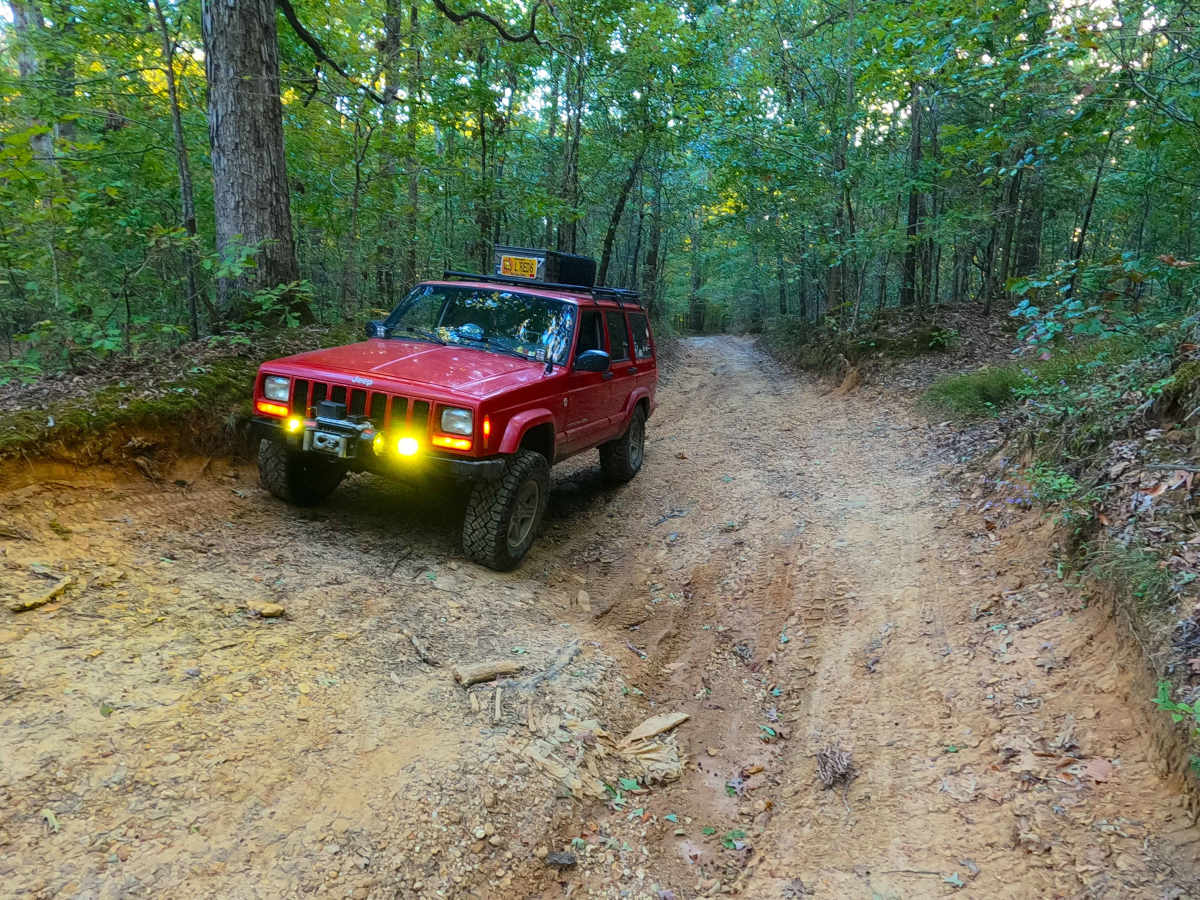
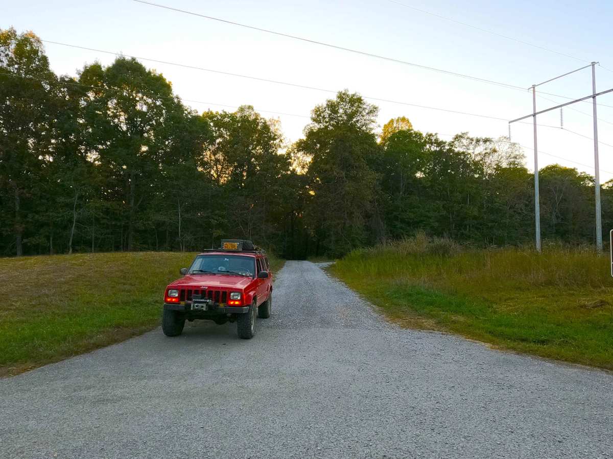
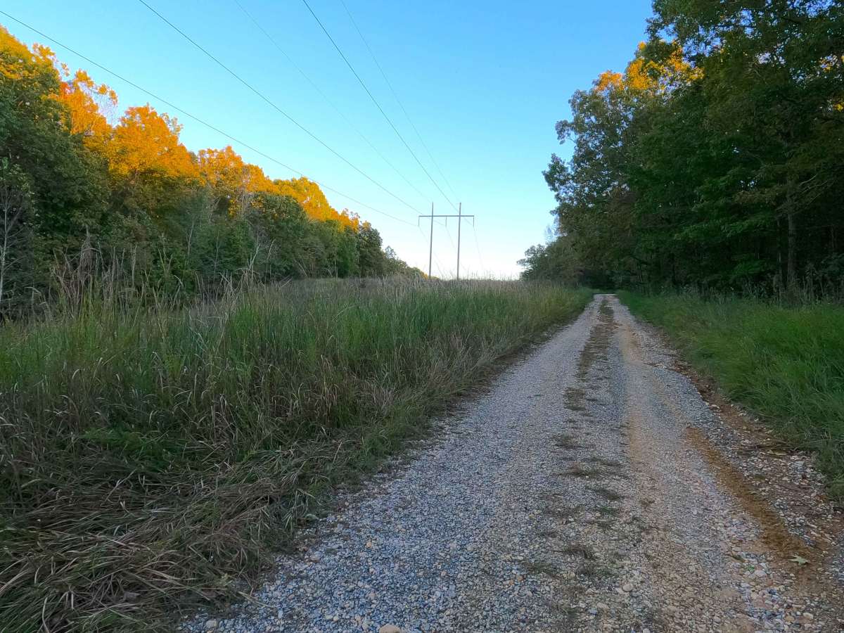
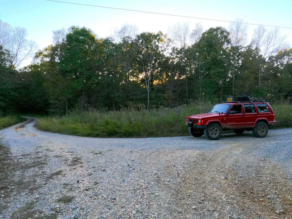
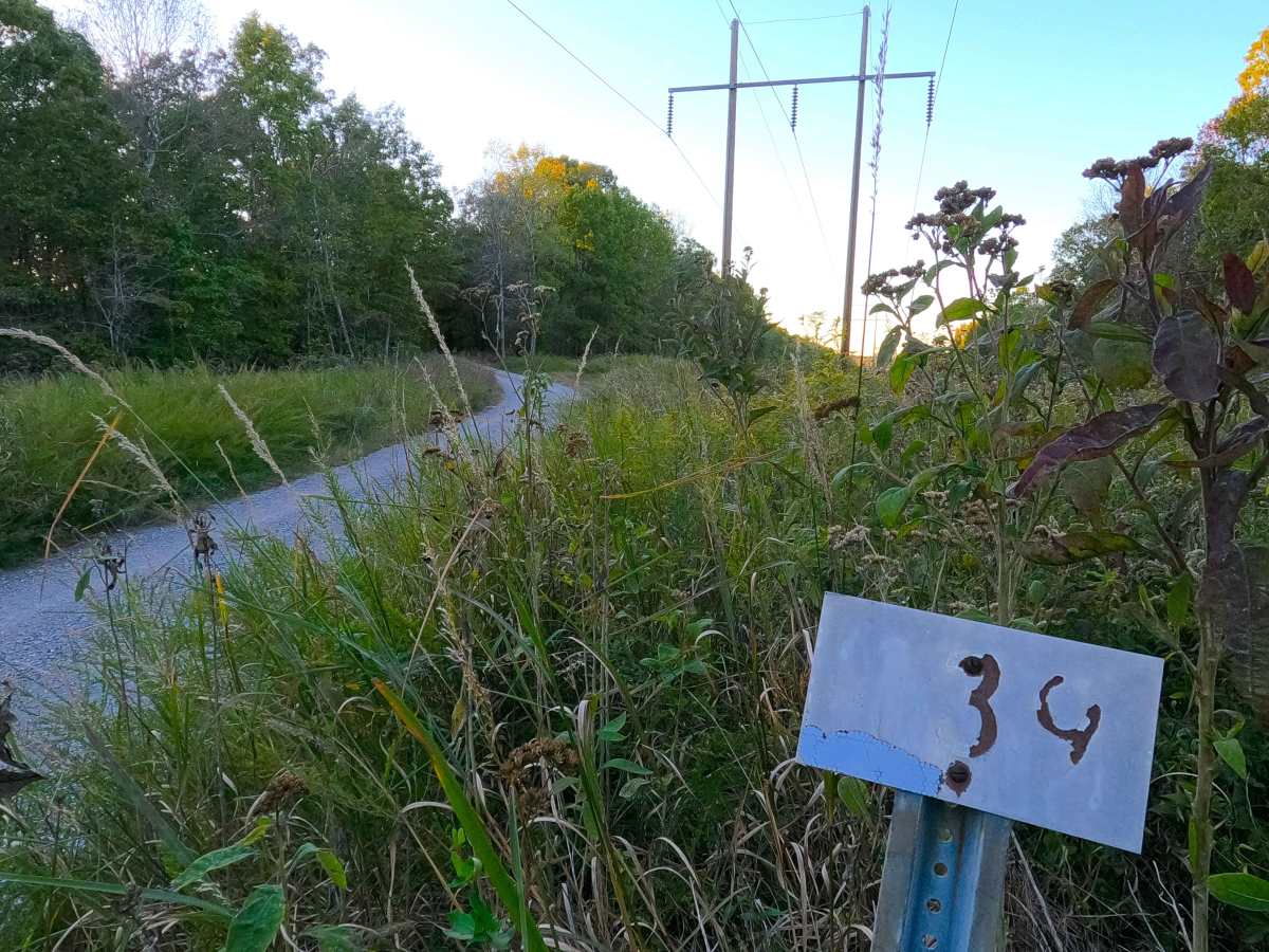
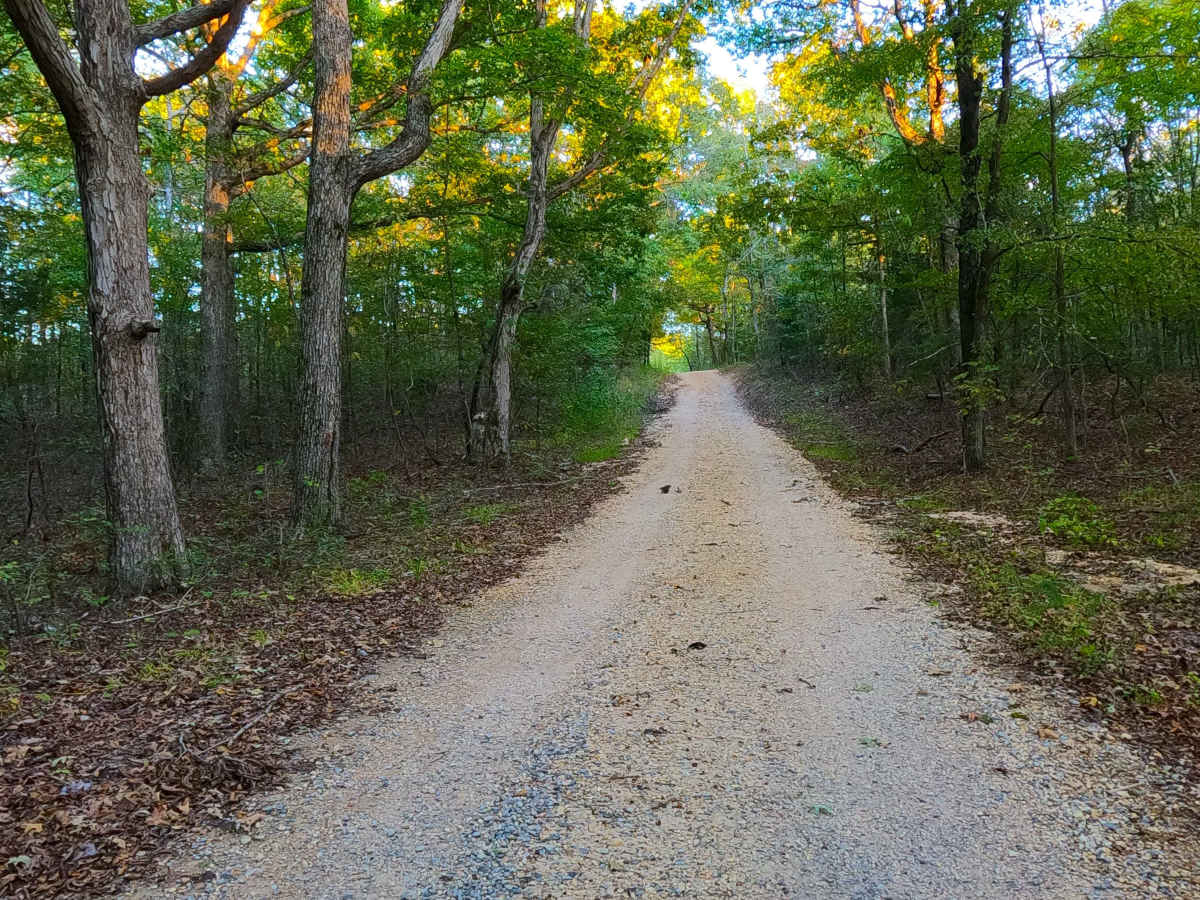
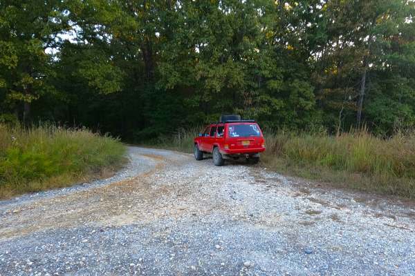
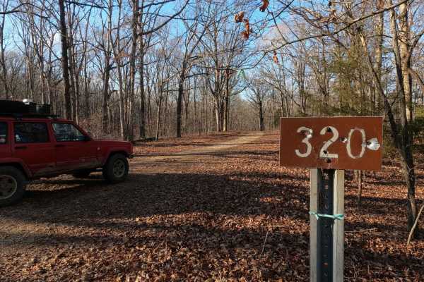
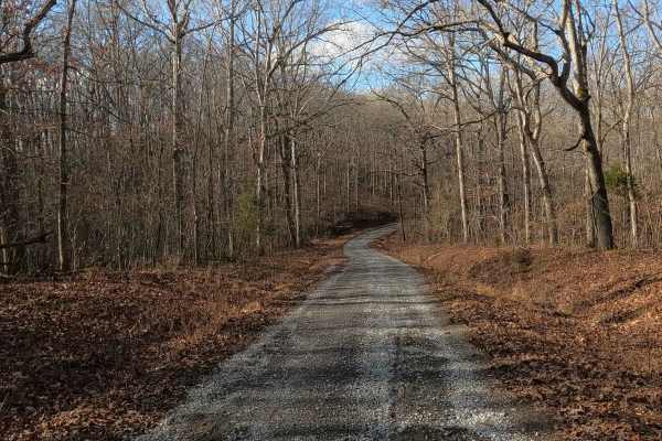
Pinnegar Cemetery Road (FS 139), or Persimmon Beach, is a forest service road, first being a gravel road, then transforming into a natural-improved road, within the center-west Kentucky section, Kentucky Lake side, of the Land Between the Lakes National Recreation Area. Pinnegar starts on the east at the Woodland Trace (FS 100), going northwest through an eastern 1.2-mile power line easement section until it meets FS 316, which is important to know as FS 316 is an alternate northeast entry for the western 3.8-mile ridge road section of the FS 139 road. The road is mild for the next 1.1, to the intersection where the Pinnegar Cemetery access road heads south from the main road, at 36.87469, -88.11043. From this point on, the FS 139 transformers from a semi-maintained gravel road, into a natural dirt road, having deep water collection holes, mudholes, surface mud, large ruts, and active erosion, consistent for the final 2.8 miles, slowly going downhill until ending at the final turnaround along the elevated hillside overlooking small cove to the south and the main body of water Kentucky Lake to the west. From here (legal ending point at 36.86616, -88.14926) there is a path going down to a creek gravel rock bar, right along the water, leading to a small fire ring under some shade trees, this section is not for motorized use and is not MVUM-sanctioned, but can be hiked to and backpack camped on, by locals this is known as Persimmon Beach, but in recent years has been restricted and highly enforced by the Land Between the Lakes Law Enforcement. Along the 5.1-mile road, there is a total of 4 cemeteries off this road, including (from East to West) Ingram, Pinnegar, Lofton, and Stone 1 Cemetery.
Difficulty
FS 139 is given a base rating of 5/10, mainly for the western 2.8 miles, which turns into a natural dirt terrain road starting at the Pinnegar Cemetery turn off going west, the trail rating goes up to a consistent 4/10, having water hole depths 12 inches consistently, and ruts being in the 18 inch depth, with one particular spot that has a water collection hole being on the verge of 2 feet deep, giving the 5/10 rating. When dry, this road could become less difficult with lower water depths and a dried-out dirt surface, but the erosion ruts would remain the same. The eastern 2.3-mile section would be given a 2/10 rating for being a consistent gravel road with occasional small erosion and washes that fade to dirt. Difficulty could increase in times of wet or inclement conditions and in heavy use with a lack of maintenance. The road could also be mended and see a drop in difficulty if it were to see a major overhaul on the far western section, but due to the water erosion on this hill, with time would likely return to being somewhere around the 3/10 rating.
History
In OnX Offroad History, the early days of the OnX Offroad service, large routes were more so common, as to cover more ground and gave a broader idea of what a larger geographical region looked like. Within LBL, this included "Geezers Part 1" which included (from north to south) the FS roads 316, 139, 318, 140, and 141, forming an 11-mile route looping with the Woodland Trace FS 100. Geezers was broken down in late 2025 to give a more accurate and detailed look at each of these roads individually, except FS 140, which is paved. --- Pinnegar Cemetery is the final resting place of 69 people with lives ranging from 1771 to 1984 (as of 2025), according to the LBL Recreation Map, Ingram Cemetery is nearby, just to the east of Pinnegar, and both are south of FS 139. Stone Cemetery is the final resting place of 4 members of the Stone family, with the only headstone date readable saying 1925-1925, and Lofton Cemetery only shows on the LBL Recreation Map; both are north of FS 139. Please leave the Cemeteries as or better than they were found. Documented By Christopher Menz 12/2025