Trail Overview
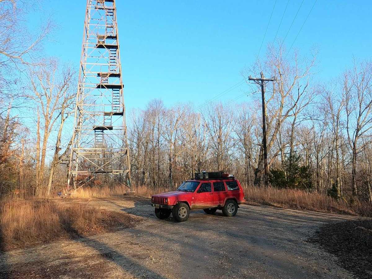
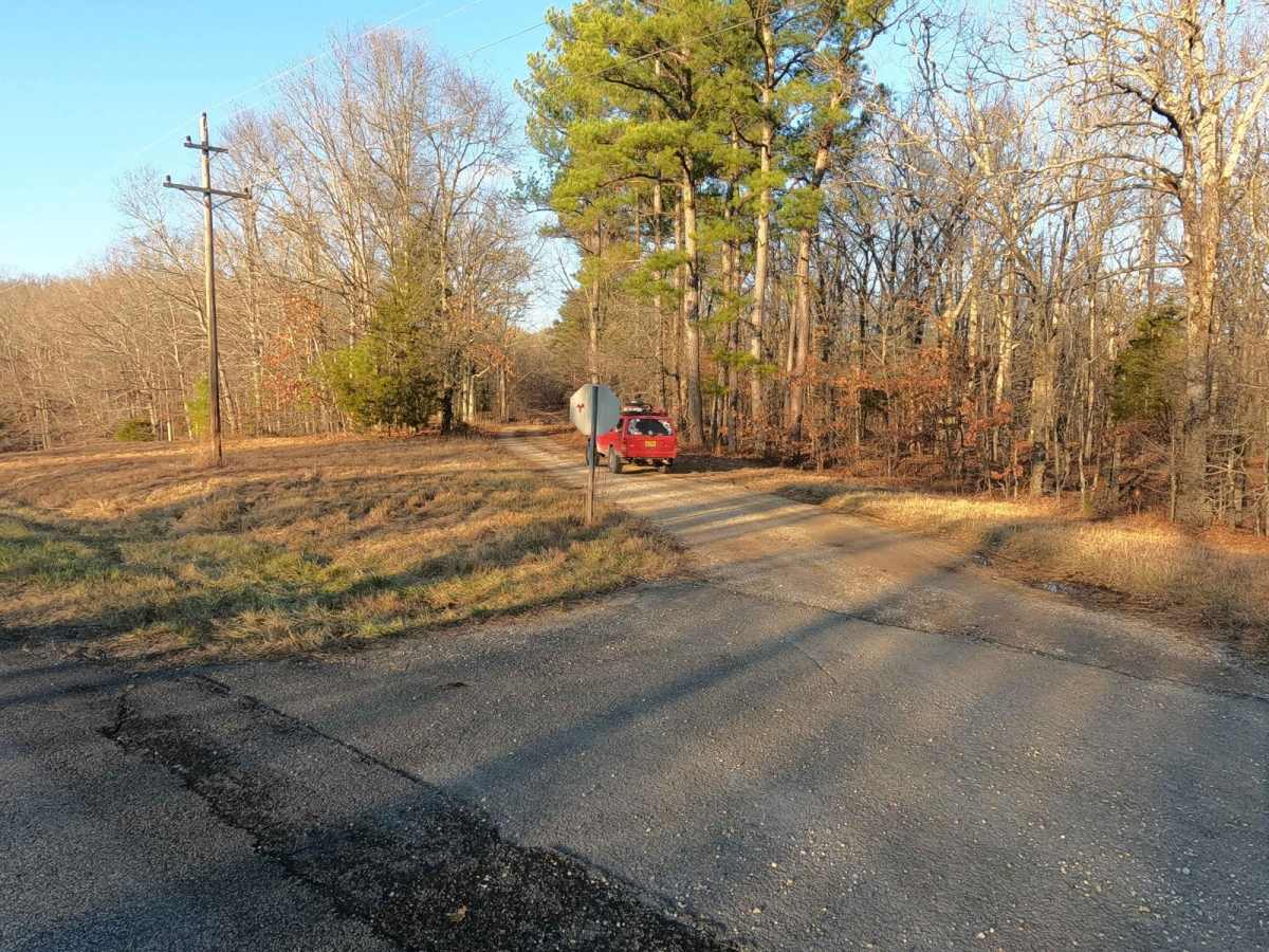
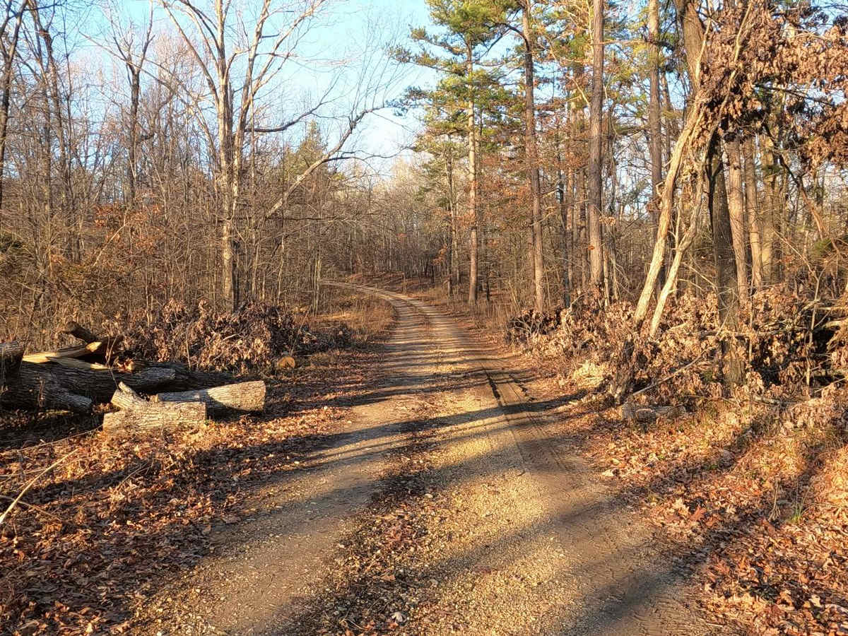
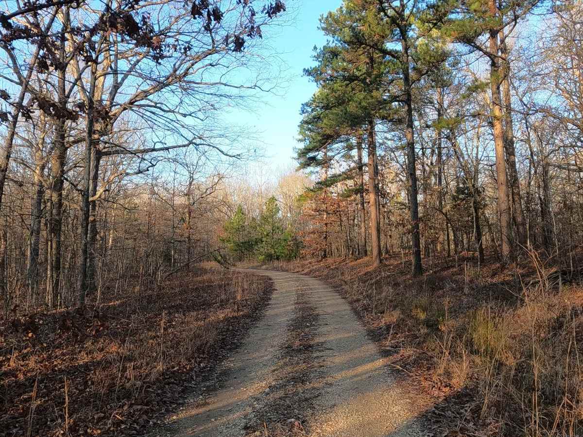
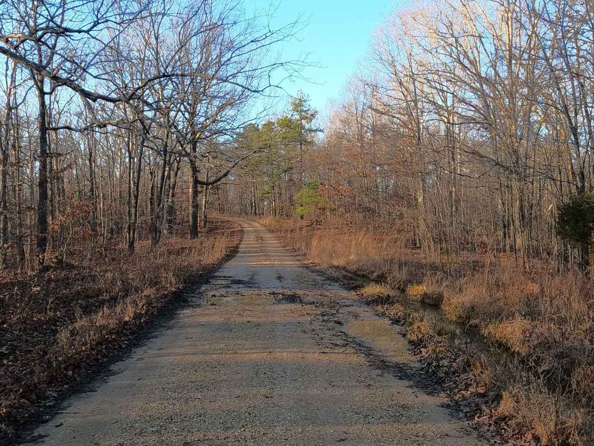
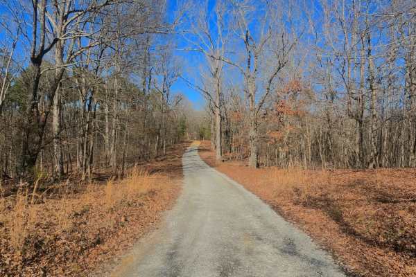
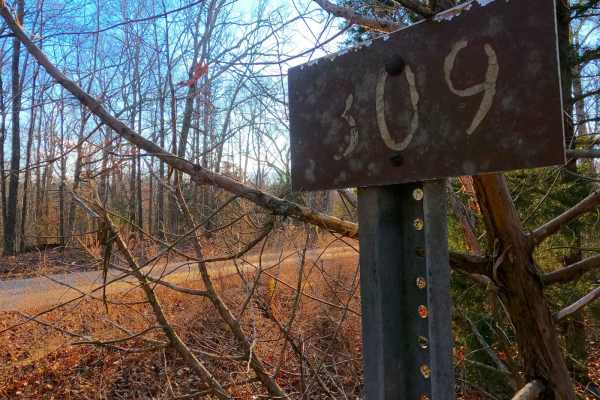
Hematite Tower Road FS 310 is a natural-improved forestry route through the center inland Kentucky section of the Land Between the Lakes National Recreation Area. This trail parallels the east of Woodland Trace, coming near neither of the two lakeshores. At its foundation, it has coarse natural gravel on top of a dirt base, featuring consistent up-and-down grades of small hills with mild erosion ruts, including small water collection holes in the valleys and flats. In some sections, the trail surface turns to solid dirt, which when wet turns to clay-like surface mud. The namesake of the trail comes from the Hematite Fire Tower found trailside at 36.91901, -88.09785. Another notable part of this trail is the southern section that is shared with the Racetrack Hollow FS 131 for 0.55 miles south of the Fire Tower location, to where the FS 131 diverts and goes east at 36.91320, -88.09647. Overall, it's a historic landmarked side trail within LBL with a little thrill along the way, great to include in a trek going north/south along the Woodland Trace.
Difficulty
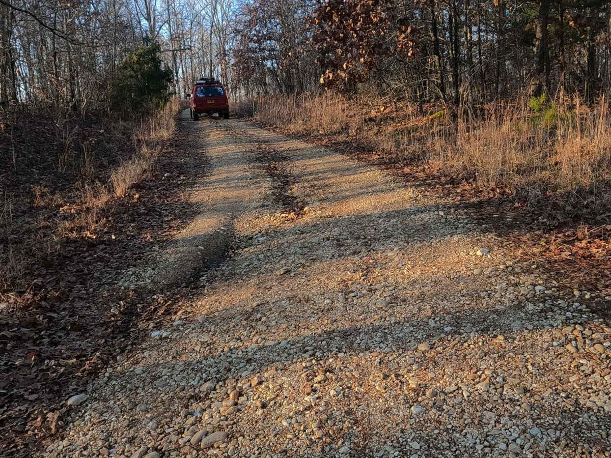
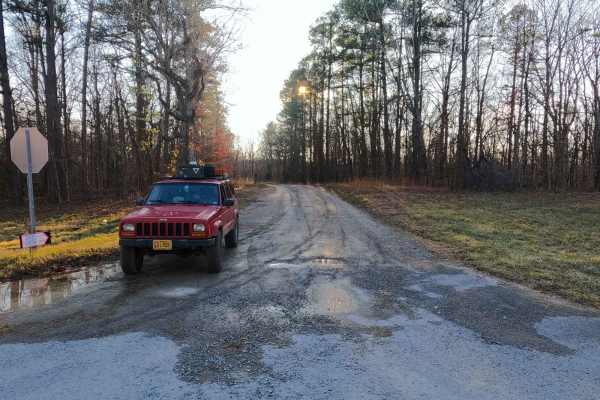
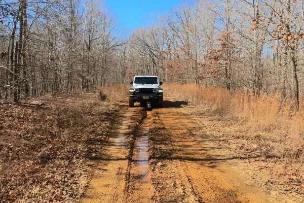
The Hematite Tower Road features a generally easy track, with portions that will ride like 1/10 and 2/10, especially if it is dry. In a more average state, it is given a base rating of a low demanding 3/10, due to having small water collection holes around 12 inches in depth and mild 12-inch-deep erosion ruts along the mild graded hills, potentially forcing the driver to take a wise choice of line with a low-clearance vehicle. Small loose cobbles (rocks less than 6 inches in diameter, some rarely bigger) may be exposed and randomly laying in the path of the trail, especially on the hills. The coarse natural gravel can fade to dirt in sections and have the potential then to turn to deeply rutted clay mud in wet conditions. Difficulty can increase in times of wet conditions, inclement weather, and heavy use. The water holes and nearby debris show signs of water being at greater depths. If the road was to be mended, it would yield a lower rating.
History
The original use of this trail surrounds the Hematite Tower, also known as Curry Hollow or Wildland Tower #1. The tower was built by the CCC around 1937, on the then Kentucky Woodlands National Wildlife Refuge, to be managed by a state forestry division. The Tower is an 80-foot Aermotor tower with a 7-foot x 7-foot metal cab. On November 3rd, 2009, the tower was registered in the National Historic Lookout Register, as US 833, KY 8.