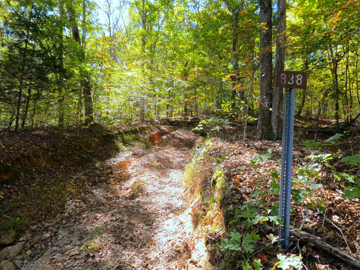
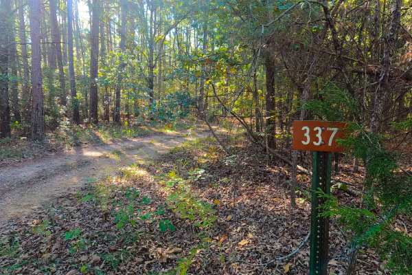
Trail Overview
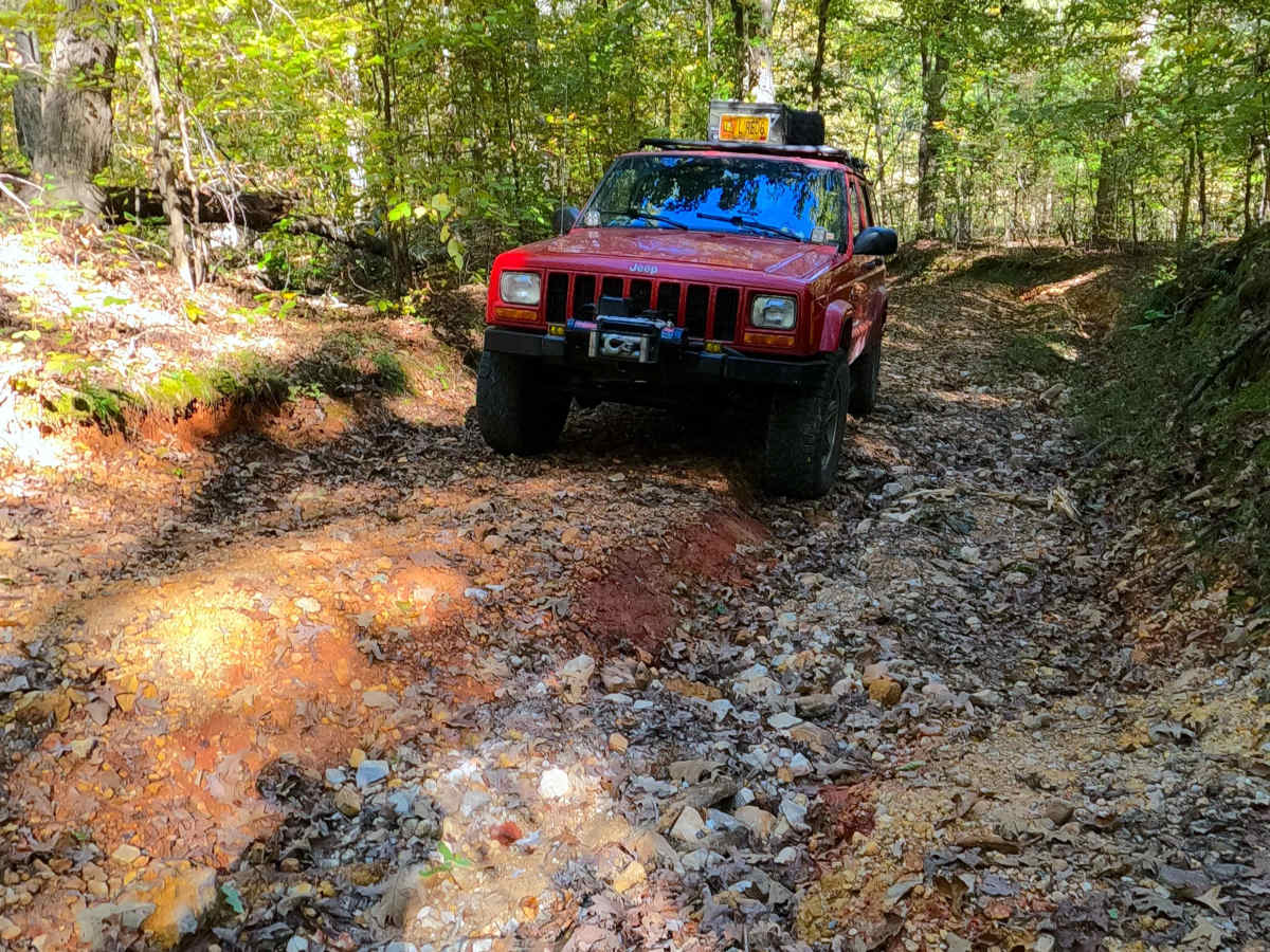
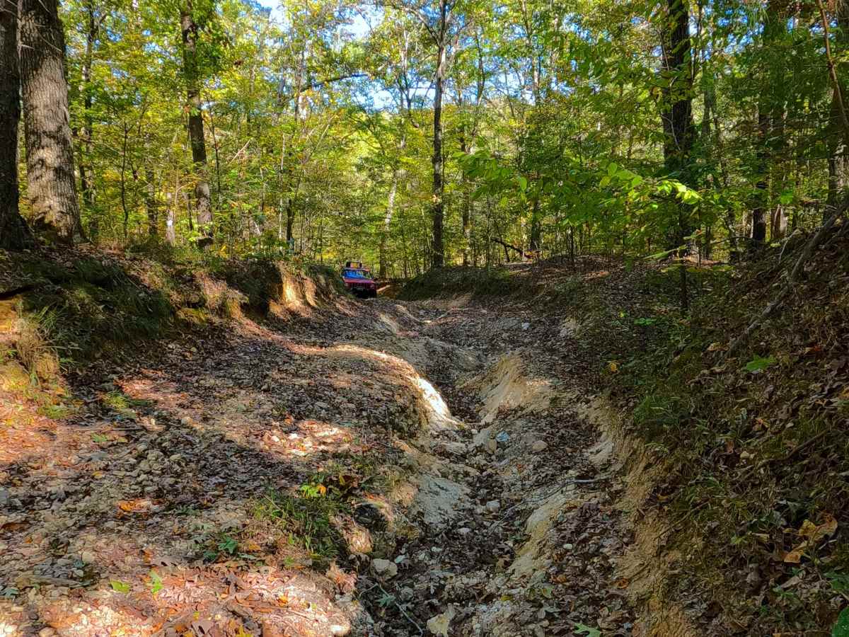
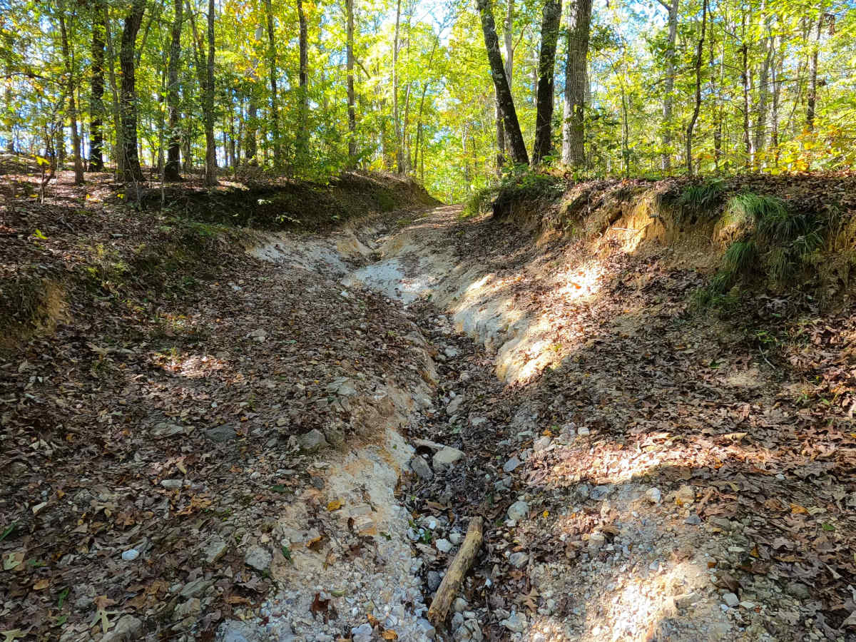
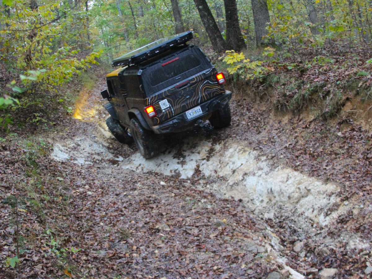
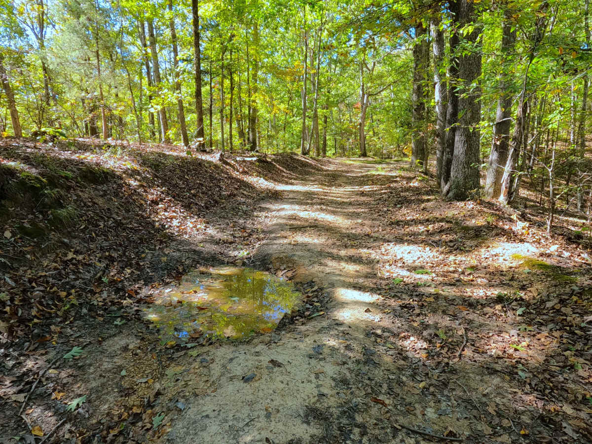
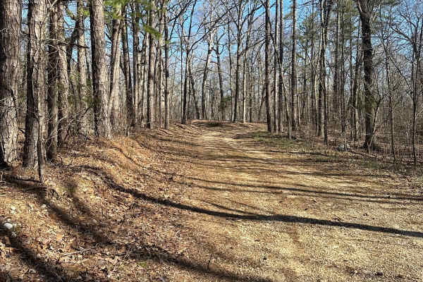
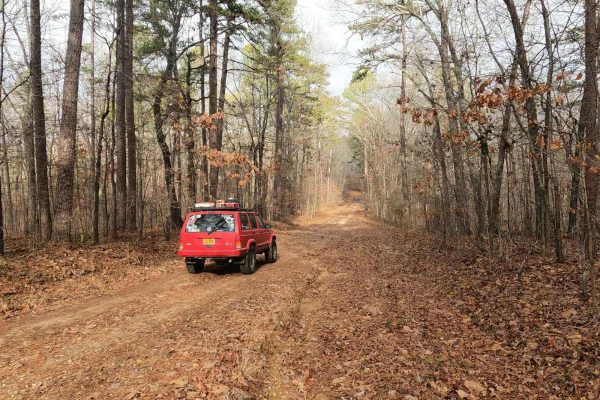
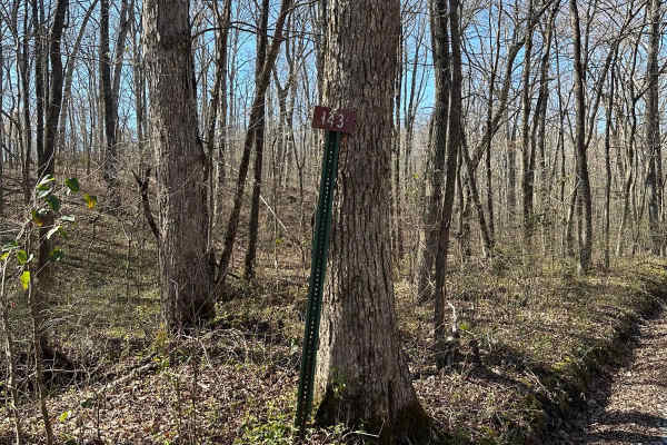
Chambers Cemetery (FS 338) is a natural-improved forest service road through the center-west Kentucky section, Kentucky Lake side, of the Land Between the Lakes National Recreation Area. The FS 338 is laid out over the high ridge between Vickers Bay to the south and Savells Branch Creek (and the unnamed cove that creek drains into) to the north, but on either end of the track, it is placed in low valleys with steeply graded hills marking the east entry and the west turnaround loop. These hills are the two main thrills of this road, being the highest rated features, consisting of deep active erosion, criss-crossing over the roadway, creating hard flex points and off-camber situations. The ridge road is the tame section of the FS 338, being a simpler, light gravel and natural dirt path along the ridge, with frequent water collection and mud holes to keep it exciting. This ridge road eventually tracks 1000 feet to the north of Chambers Cemetery, passing it right before the 338 meets the North-South Hiking trail. The North-South Hiking trail parallels the FS 338 for 0.2 of a mile before splitting at the beginning of the final hill. This final hill has an eroded path to the bottom with tree roots and loose rock cobbles being part of the terrain. At the bottom of the hill, there is a turnaround loop where the MVUM-sanctioned road ends, but users can follow the 700-foot-long path going south to Vickers Bay on foot; the view of Vickers Bay and Kentucky Lake is a user's reward for making it this far.
Difficulty
Chambers Cemetery is given a base rating of 6/10, earning this on the far ends of the track, both having steep grades climbing to/from the ridge top down to the lower valley. Both have steeply graded hills, with major active erosion, ruts being in the 1 to 3 foot depth range crossing back and forth over the pathway, creating a narrow path, with mandatory off-camber and hard flex points, high potential for surface mud in these ruts, along with scattered loose rock cobbles (4 to 10 inches in size). For this road, lockers are highly suggested. On the ridge tops, the trail becomes a 4/10 rated path, having mild water collection spots and mud holes with depth in the 12 to 18 inch range. The difficulty can increase in times of heavy use, wet or inclement conditions, the road could also drop in difficulty (possibly to a 2/10 to 4/10) if the hills and mudholes were to be mended, but if the same steep grade of the hills remained, it would only take time with some rainwater for it to start active erosion again, likely becoming higher rated again.
History
Chambers Cemetery is the final resting place for 24 people who lived from 1795-1914. Please respect those who came before us, leave the Cemetery as it was or better than you found it. Historically when looking for signs of the former FS 338, it's not until 1987 that a single dashed line is illustrated on the Fenton Topo, only going over the first eastern half of the modern FS 338, and did not end at Chambers Cemetery. The next editions of the Fenton Topo even dropped this single dashed line back to nothing noted on this ridge. It wasn't until 2016 that the map finally illustrated it again and labeled it as FS 338 for the first time, going all the way to roughly the point where Vickers Bay and Kentucky Lake meet. This suggests the former existence of this road was either kept hush-hush as the cemetery access road, not even tracking over any portion of the far west section, with the high potential that the east section was used by horse and buggy, based on the age of the Chamber Cemetery. Safe to say that as a motorized road, it is a modern creation from the Forest Service era, post-1998 to the current day (2025). Documented By Christopher Menz 12/2025.