Trail Overview
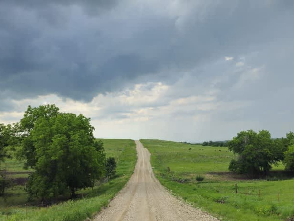
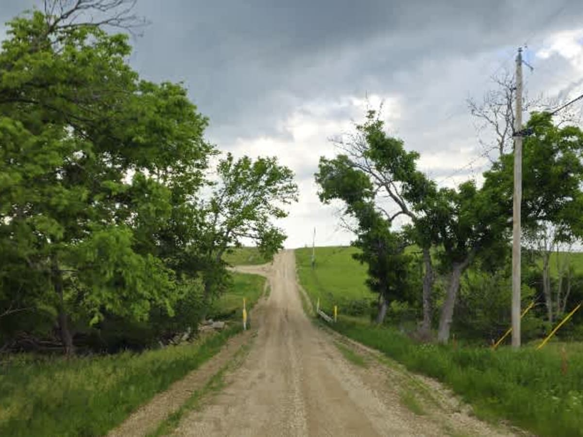
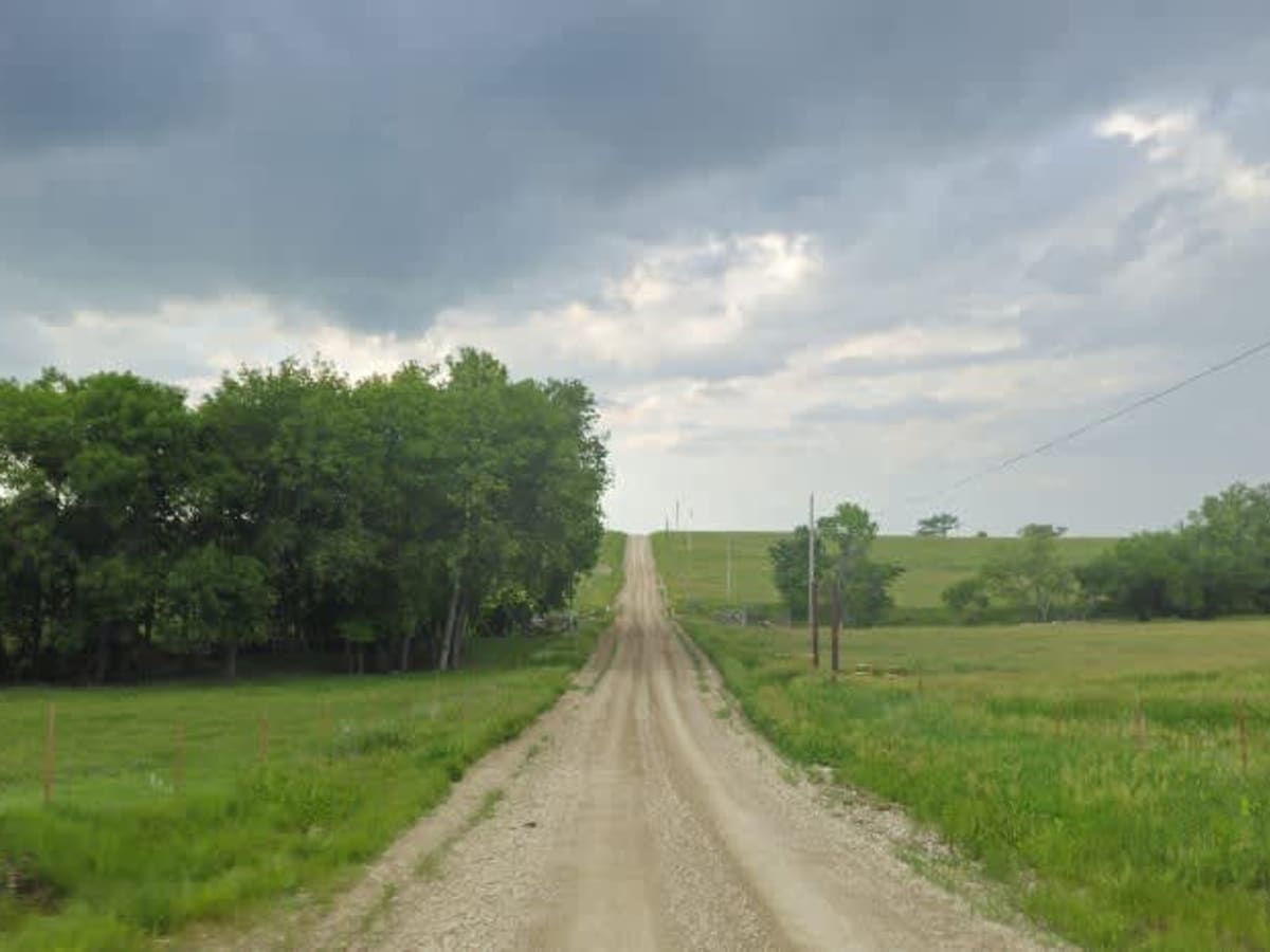
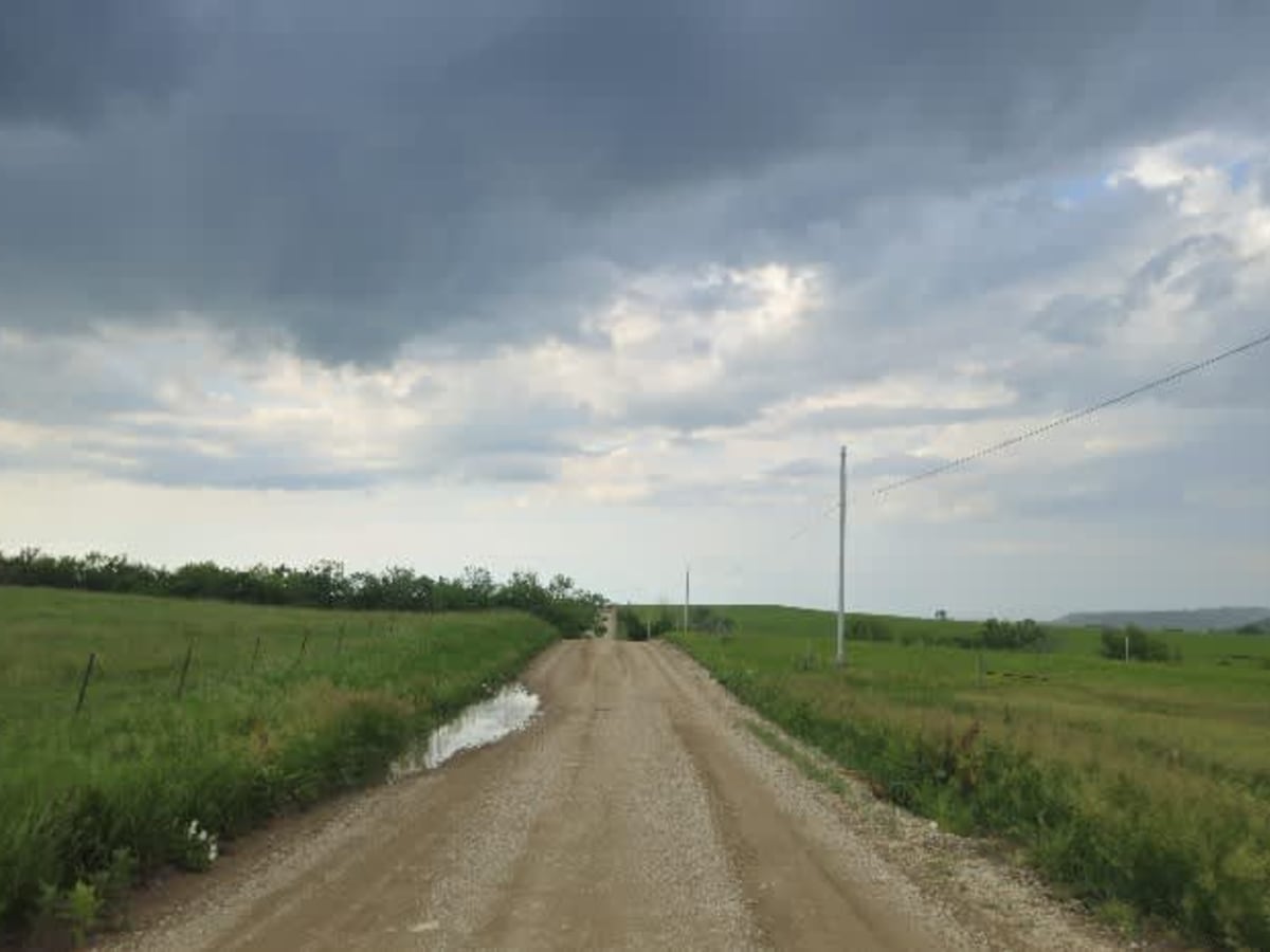
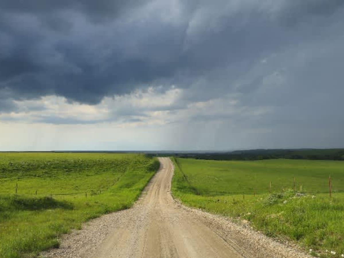
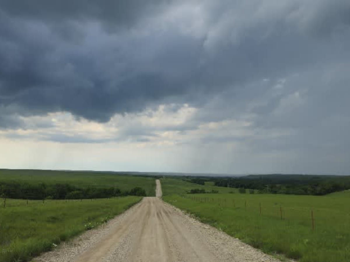
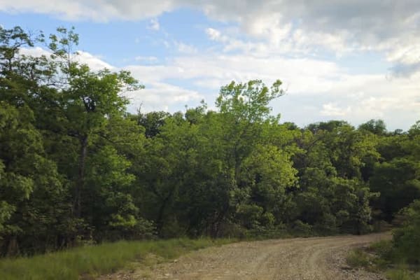
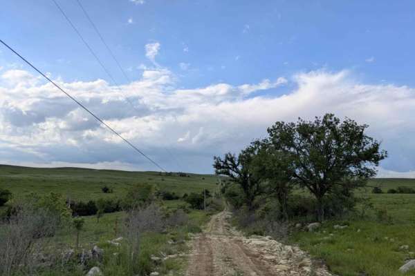
This trail follows a very well-maintained gravel road that remains mostly smooth as it winds through a hilly landscape. Drivers will navigate numerous ascents and descents, with occasional rocky or bumpy sections demanding attention. There are no formal or dispersed campsites along the route, and you won't find trash disposal or water supply facilities. Cell service is limited in this area, so check your onX app for coverage details before heading out.
Difficulty
This road consists primarily of well-maintained county gravel roads and rural connectors running through the eastern edge of the Flint Hills. Roads are graded regularly, wide enough for two vehicles to pass, and suitable for all high-clearance vehicles and most passenger vehicles in dry conditions.
History
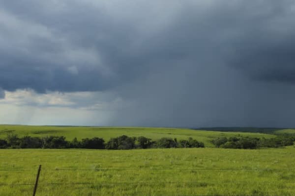
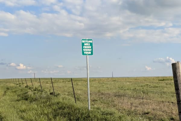
This route traces the historic heartland of the Flint Hills, a region that has remained largely untouched by modern agriculture due to its shallow, rocky soils--making it one of the last strongholds of North America's tallgrass prairie. The trail crosses land with deep cultural roots--from Native American hunting grounds to working cattle ranches. Expect long views over tallgrass prairie, passing ghost towns, century-old barns, and scenic byways that have carried generations of ranchers and travelers alike.