Trail Overview
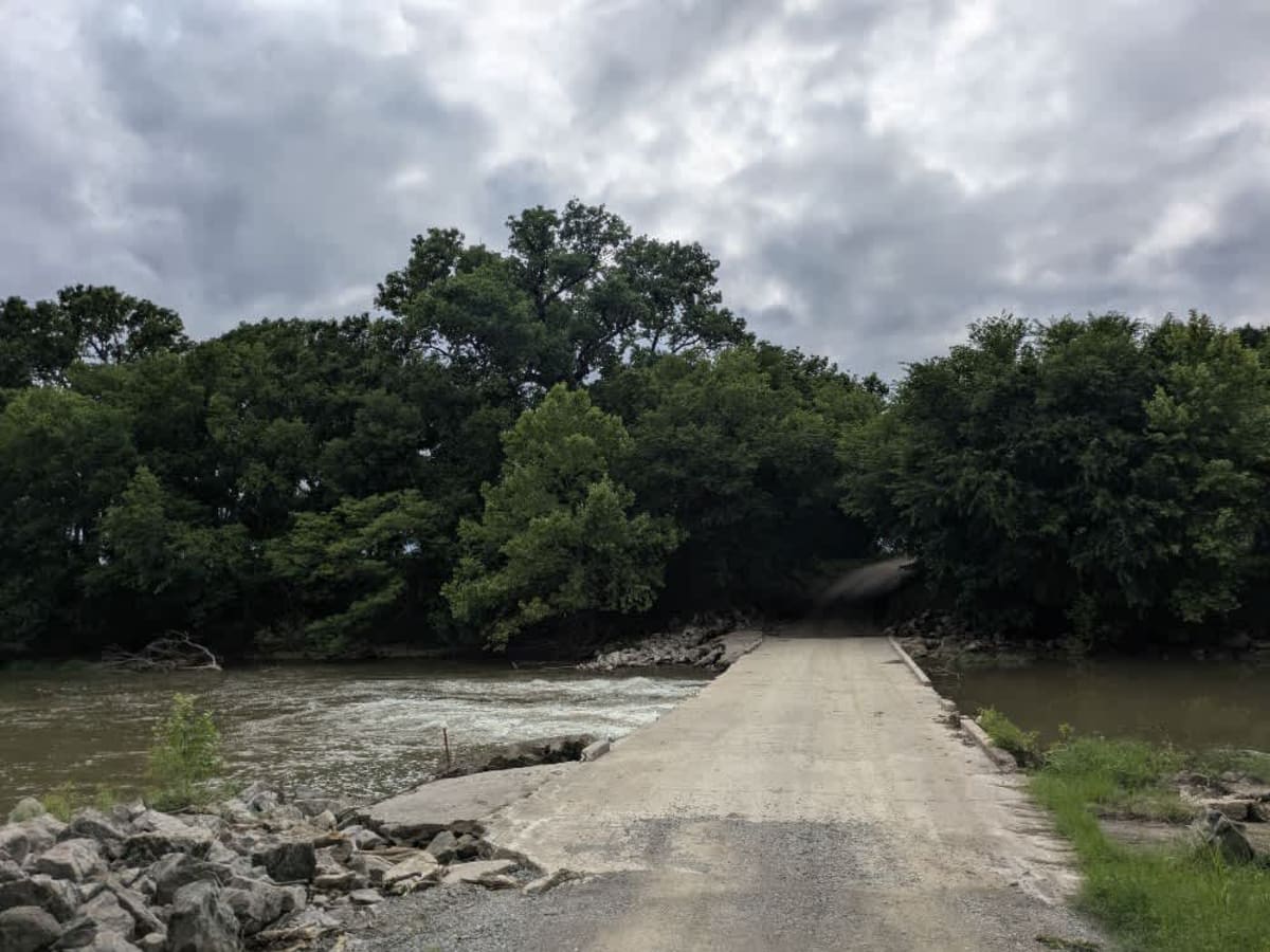
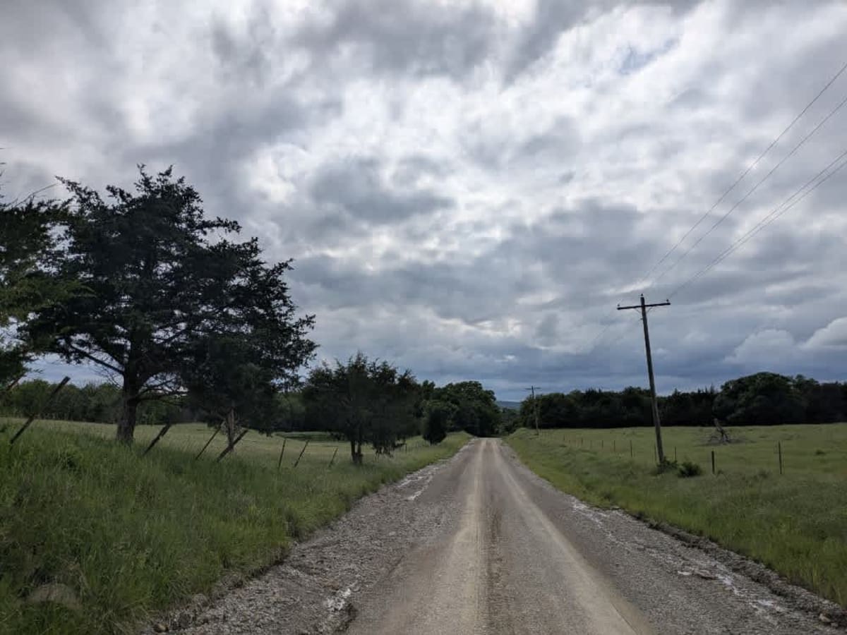
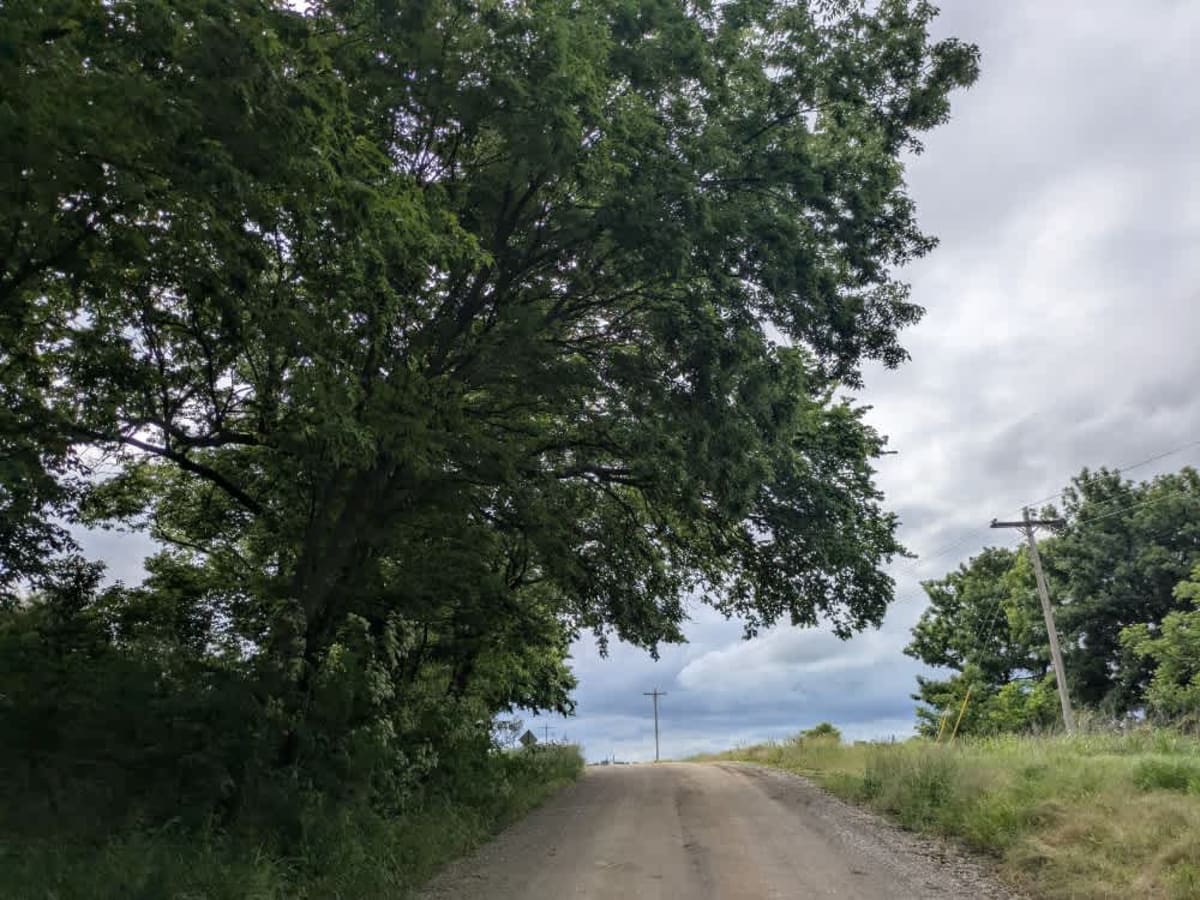
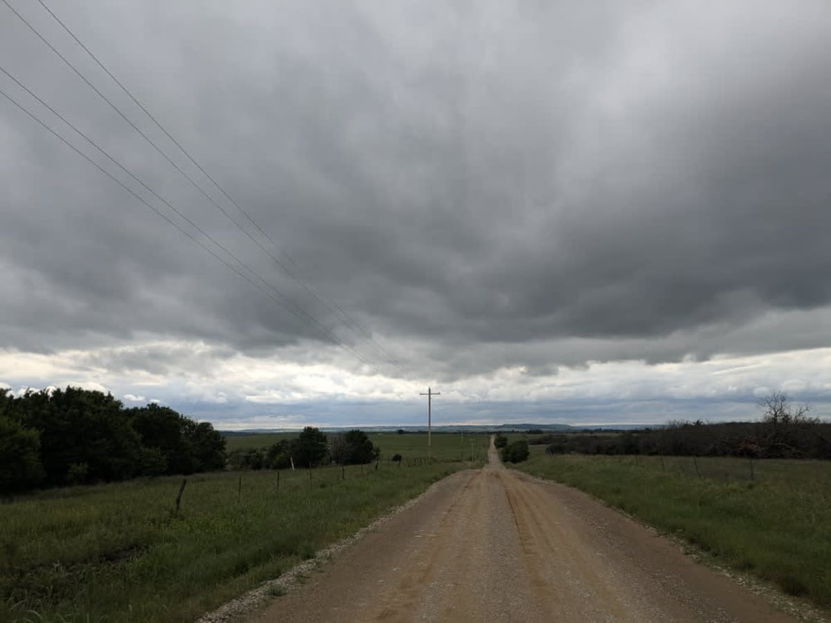
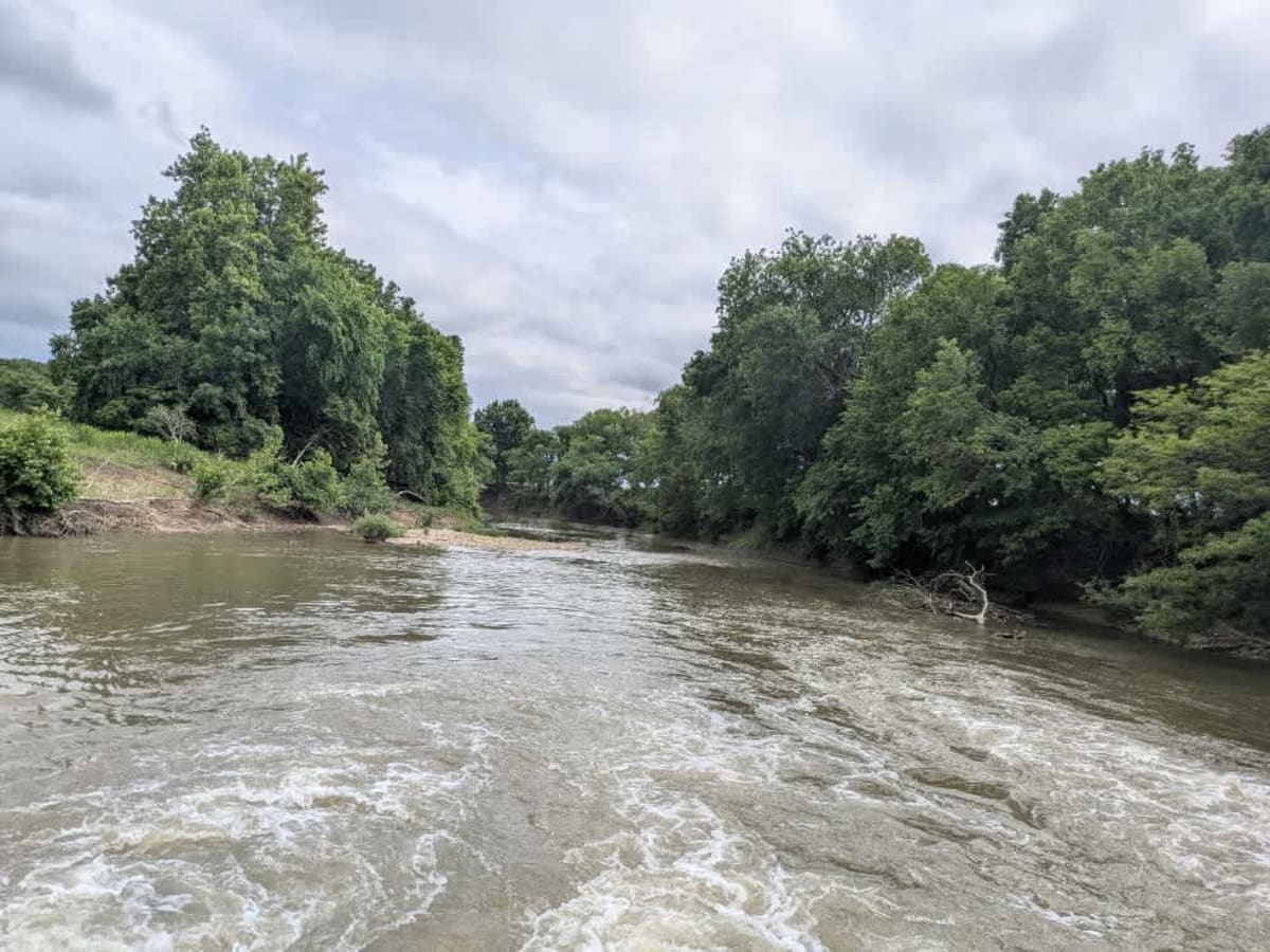
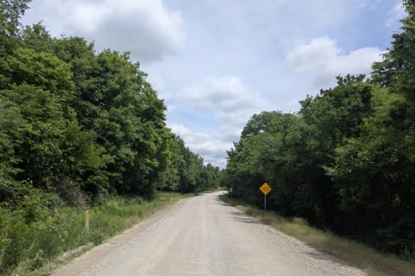
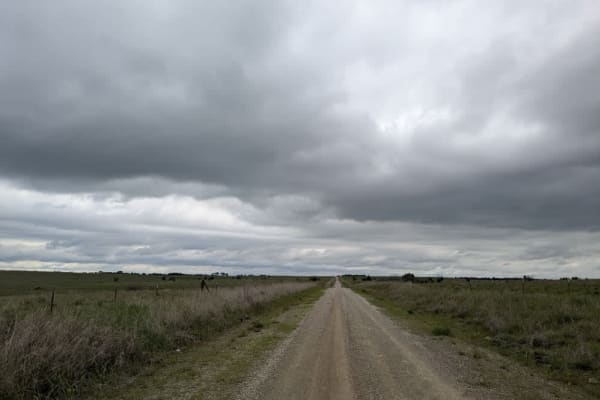
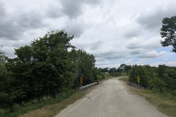
This gravel back road twists and turns across gentle terrain, its surface generally smooth yet interrupted by the occasional washboard, pothole, or drainage ditch. A stand of trees appears as you ease past scattered homesteads, then the track crosses a bridge and drifts into the thicker shade on its way toward Cedar Vale. In town, you will find a commercial RV park. At the same time, the quieter option lies at the trail's end in Hewins Park, where basic facilities include water, trash bins, dilapidated toilets, and electrical hookups. We never located a camp host; instead, locals directed us to a city council employee who confirmed that overnight stays are permitted as long as you settle the fee at the municipal office before you depart in the morning.
Difficulty
This road consists primarily of well-maintained county gravel roads and rural connectors running through the eastern edge of the Flint Hills. Roads are graded regularly, wide enough for two vehicles to pass, and suitable for all high-clearance vehicles and most passenger vehicles in dry conditions.
History
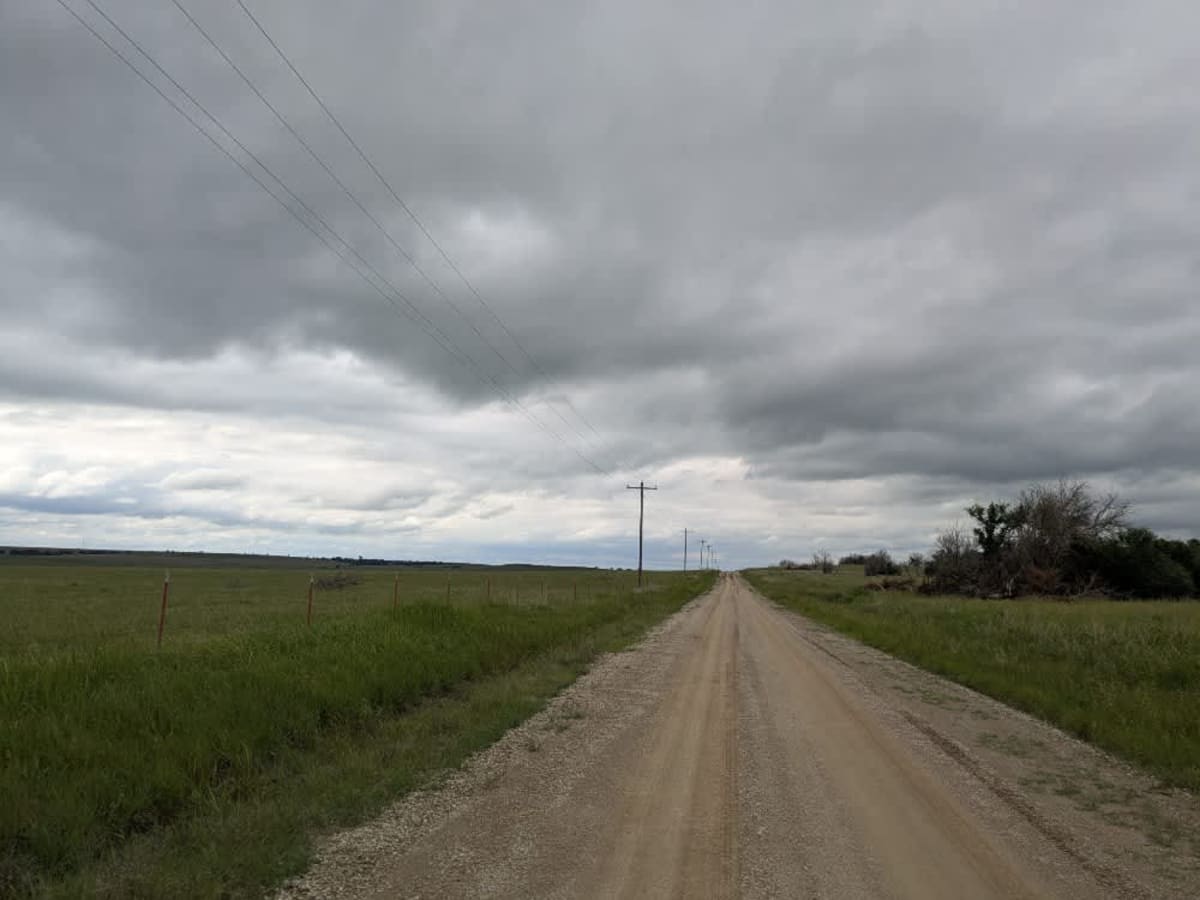
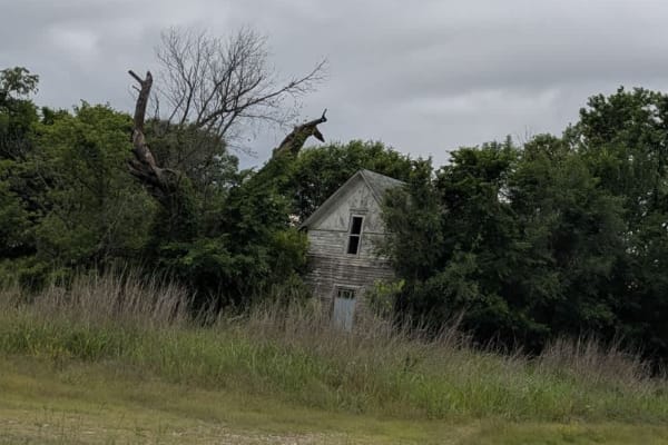
This route traces the historic heartland of the Flint Hills, a region that has remained largely untouched by modern agriculture due to its shallow, rocky soils--making it one of the last strongholds of North America's tallgrass prairie. The trails crosses land with deep cultural roots--from Native American hunting grounds to working cattle ranches. Expect long views over tallgrass prairie, passing ghost towns, century-old barns, and scenic byways that have carried generations of ranchers and travelers alike.