Trail Overview
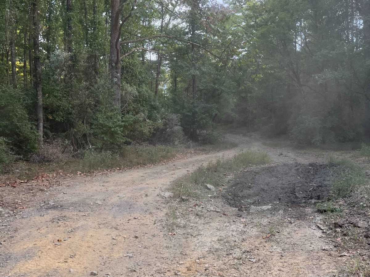
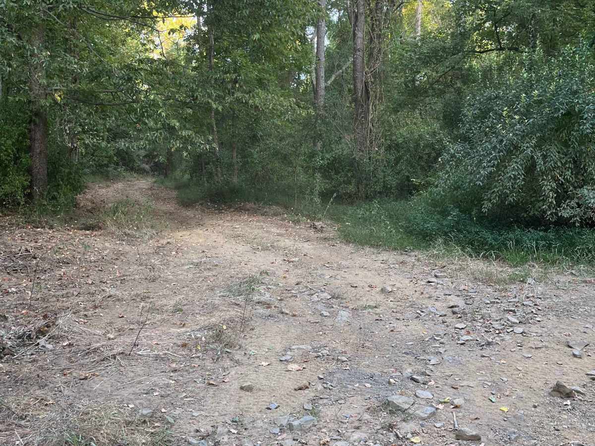
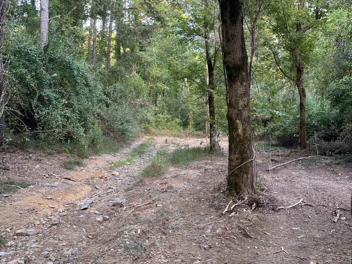
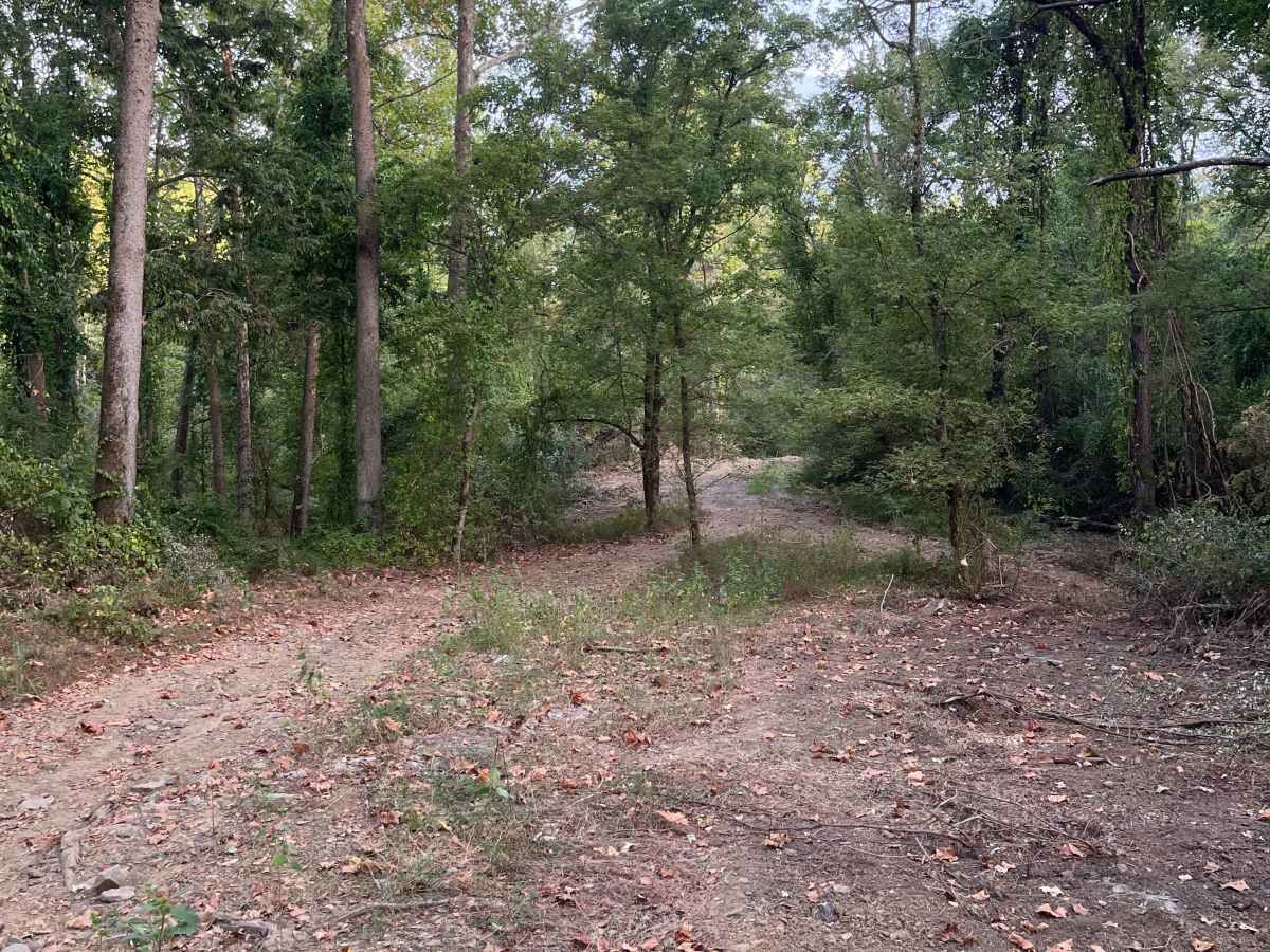
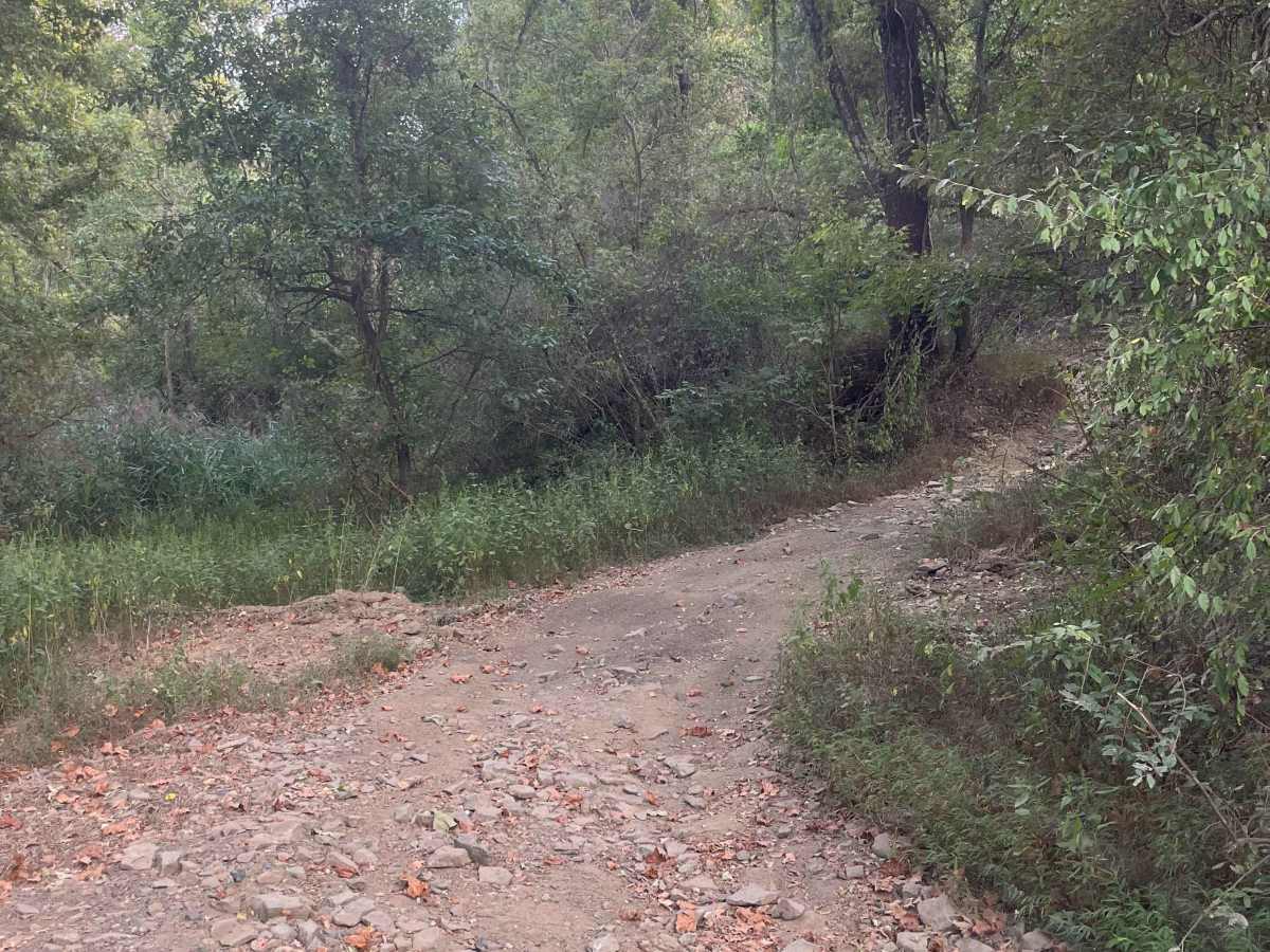
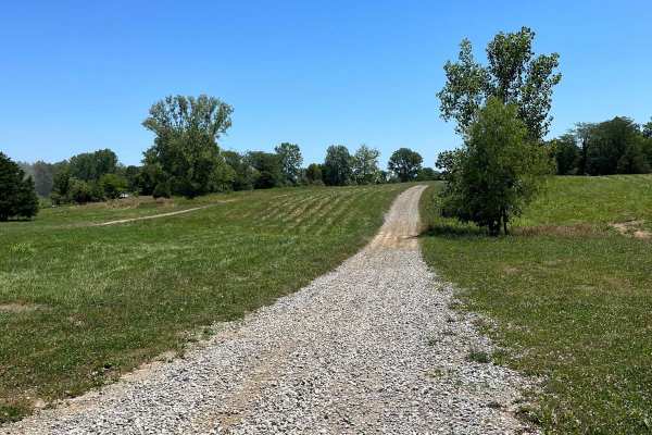
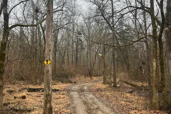
The Pallet Trail is one of the main routes through the south portion of the forest, and gives riders access to many secondary and tertiary routes. At the north side, this trail is accessed from Old Route 13 and begins with a mixture of gravel and dirt. The surface composition throughout the trail consists primarily of dirt, with some loose and protruding rocks, depending on the time of year. The Pallet Trail is passable in almost any trail conditions, although the dry season is preferable. Some larger water holes may appear during the wet season, although they can be bypassed. The majority of the trail is flat, with the exception of some moderate hills in the southern portion. This trail can be completed with ease on a two-wheel drive OHV during the dry season, although a 4x4 may be necessary to climb the hills during the wet season. This route is accessible by SxS, ATV, and dirt bikes, and falls into the blue difficulty rating.
Difficulty
This trail features some protruding rocks that are potentially 12 inches tall, loose dirt and rocks during the dry season, and slick rocks after rain. Mud holes may develop during the wet season, but can be bypassed.
History
The current path across Bankston Fork was formerly made of pallets, located at the "Pallet Crossing" sign.