Trail Overview
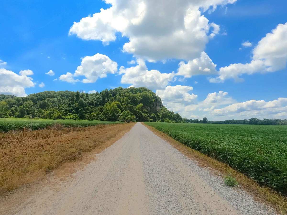
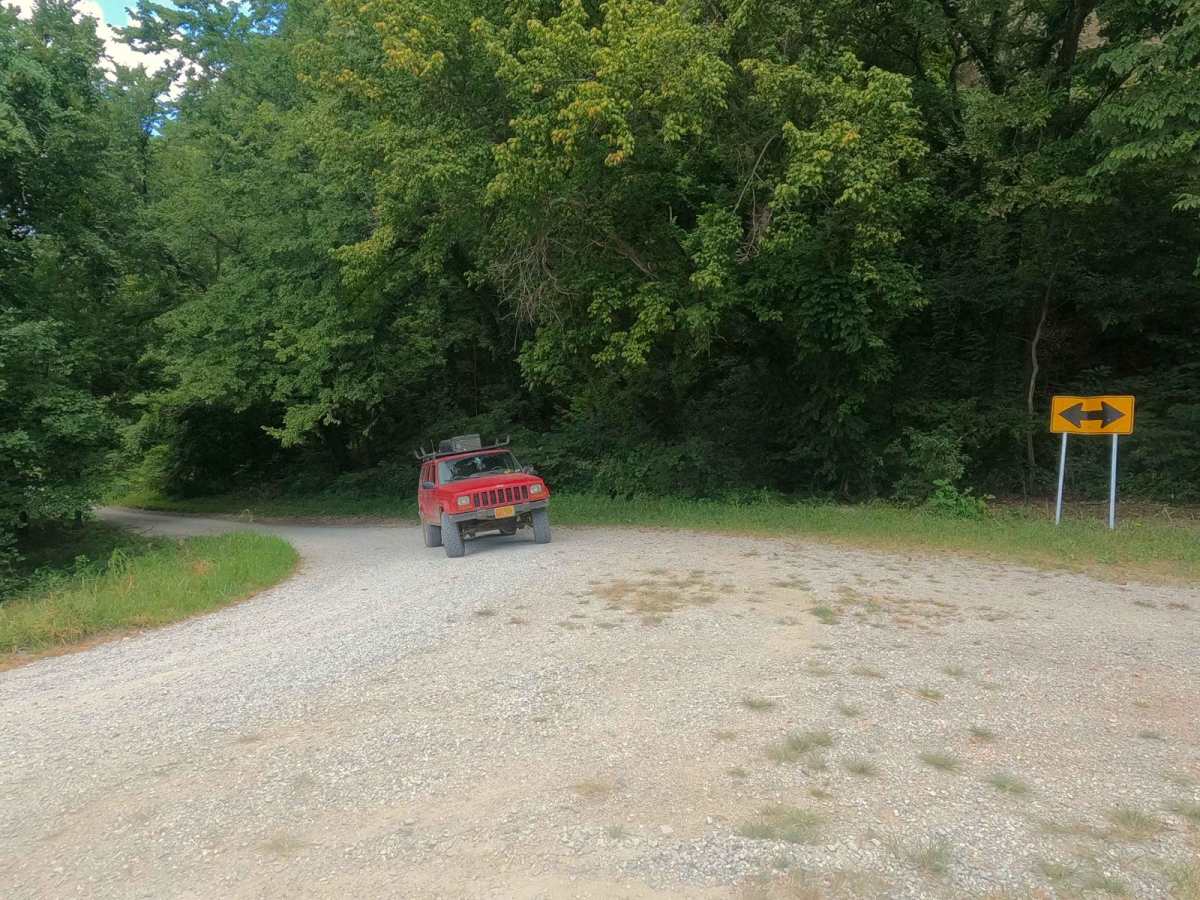
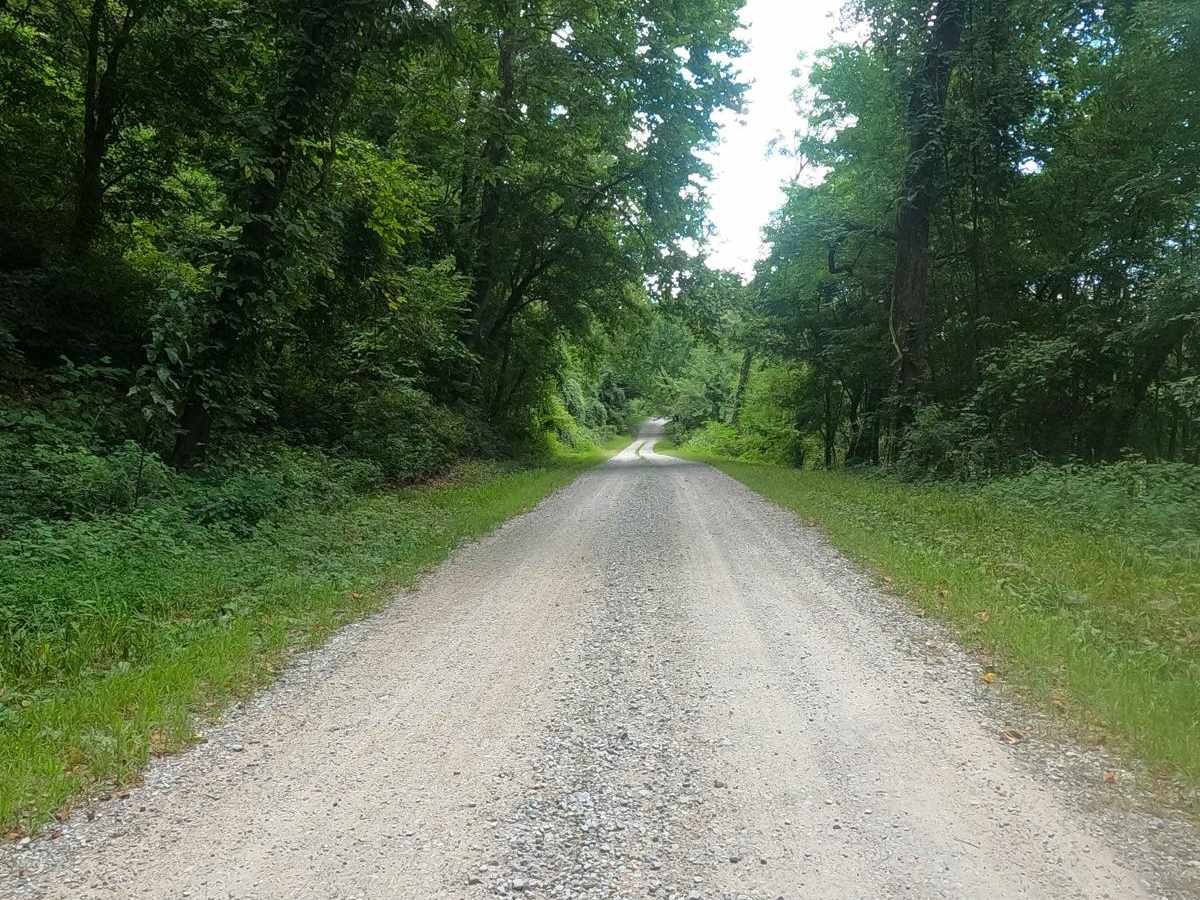
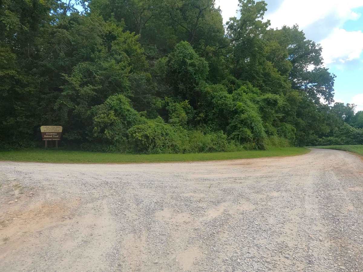
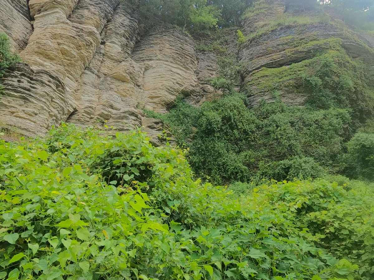
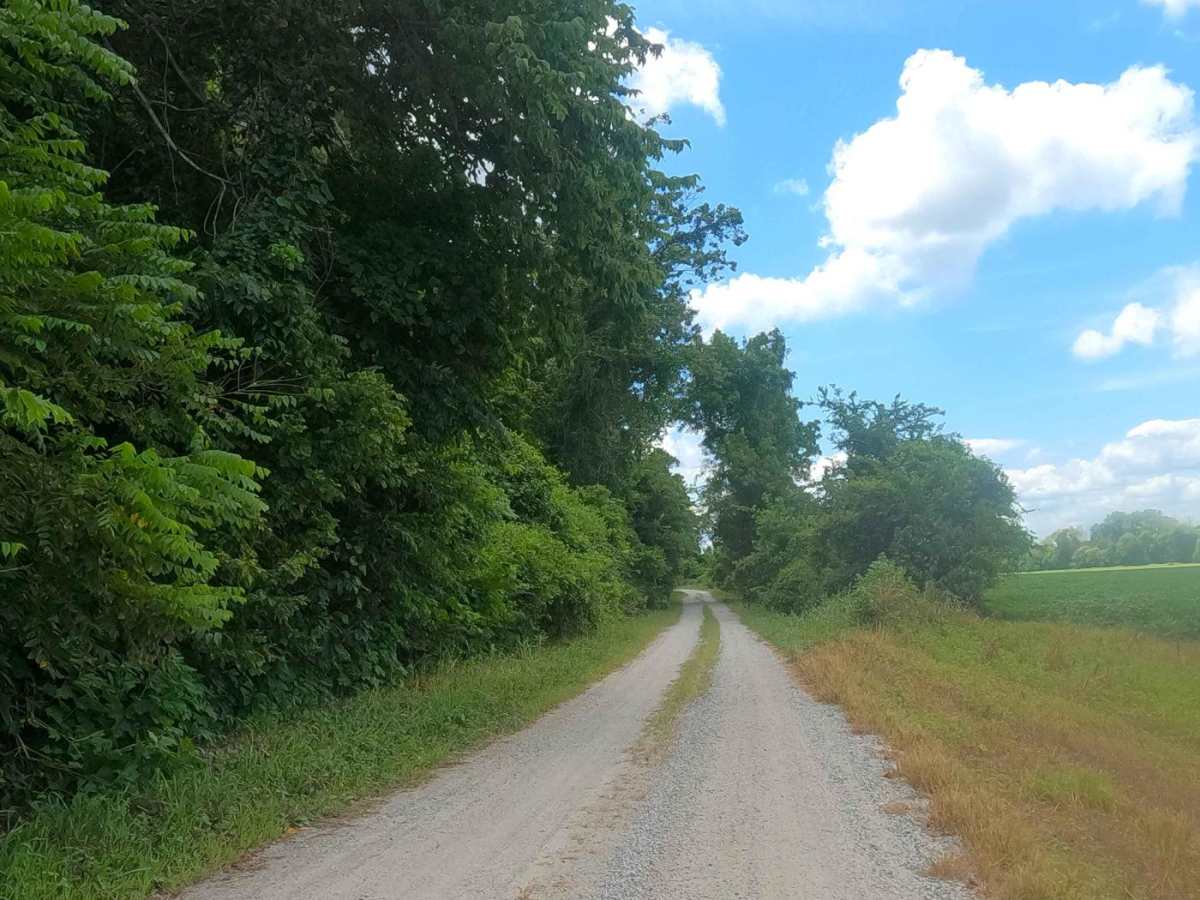
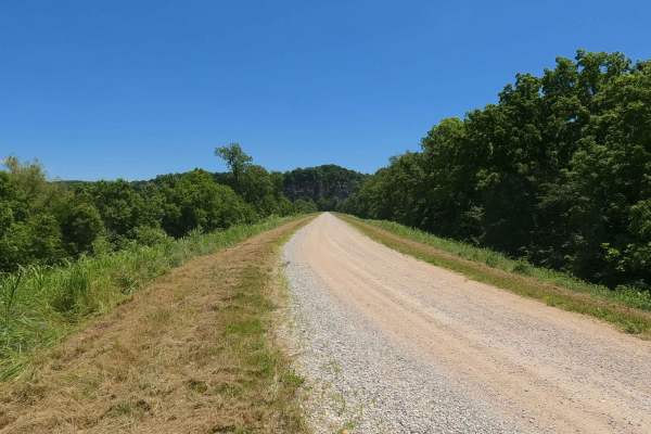
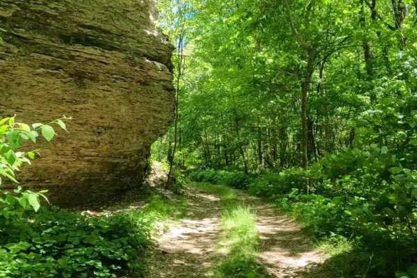
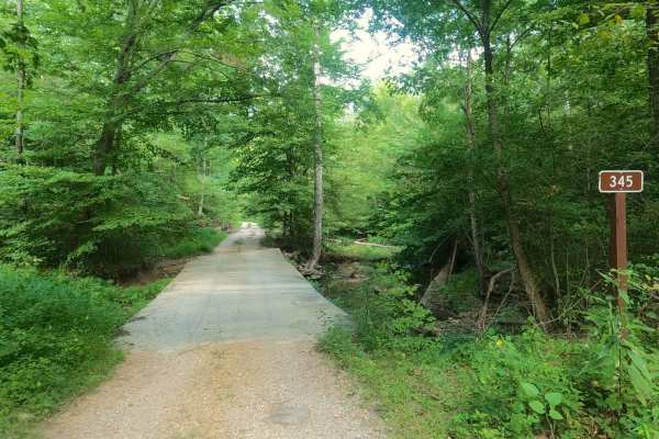
LaRue Road FS 345, Scatters Road, or North LaRue Road to differentiate it from the Snake Road, is a maintained gravel road with easement over privately owned Jackson County land and Shawnee National Forest, within the LaRue-Pine Hills/Otter Pond Research Natural Area, a part of the greater Mississippi Bluffs unit. The road connects the Muddy Levee Road to the Rattlesnake Ferry Road, traversing the northwest perimeter of the Clear Springs Wilderness, featuring beautiful lush forest and large limestone bluffs and meso-boulders along the sidelines of its track. The road is logistically relevant in getting around while avoiding pavement, or getting from forest service road to forest service road. This is one of two portions of the FS 345 that are open yearlong according to the MVUM.
Difficulty
LaRue Road is a simple maintained gravel and is generally flat, only featuring mild elevation changes. Expect the normal gravel road complications like potholes, wash boarding, and mounding of the gravel in between maintenance cycles, but in heavy use, could also feature sections where the road fades to dirt.
History
Historically an old school named McCann existed on old maps dating back to the 1920's, but little other info can be found on this, its approximate location was around 37.58937, -89.43999, this land is still privately owned by the McCann family, and should be respected as such.