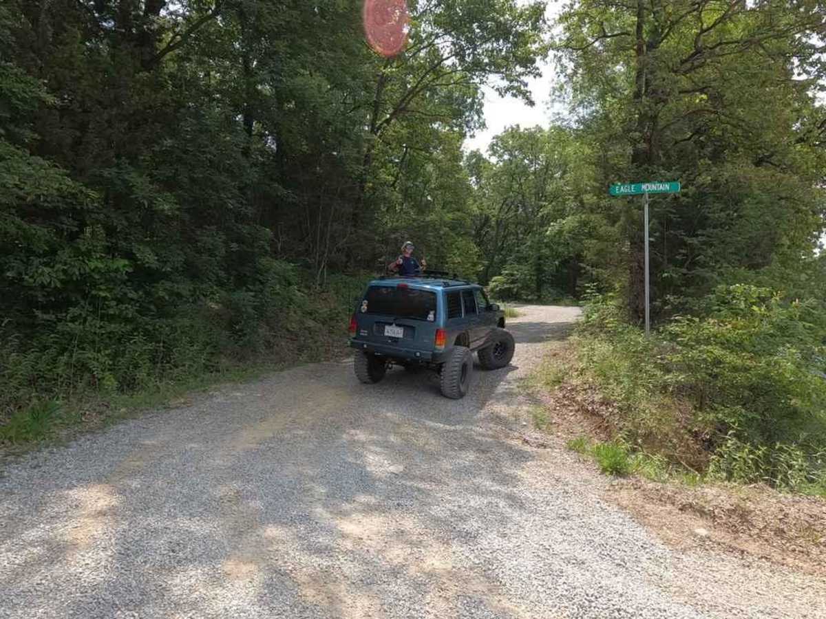
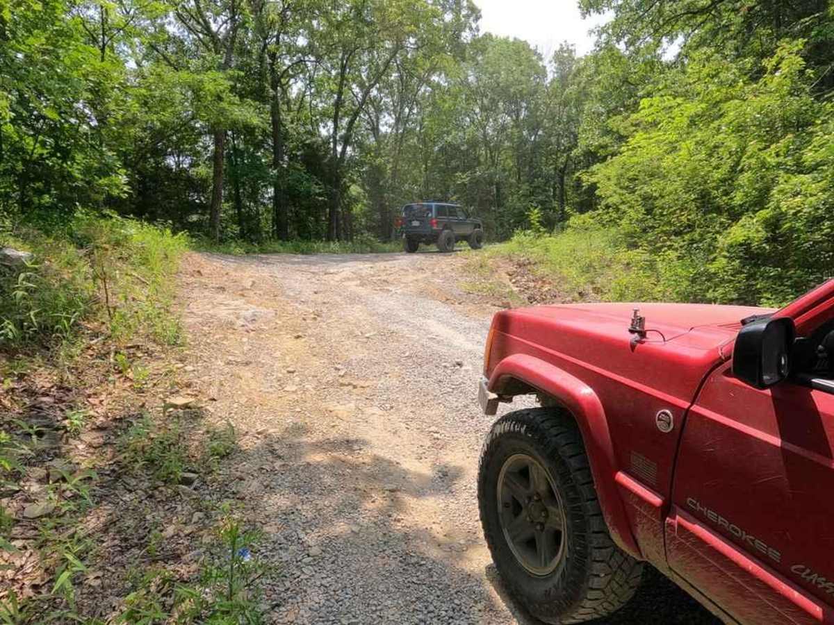
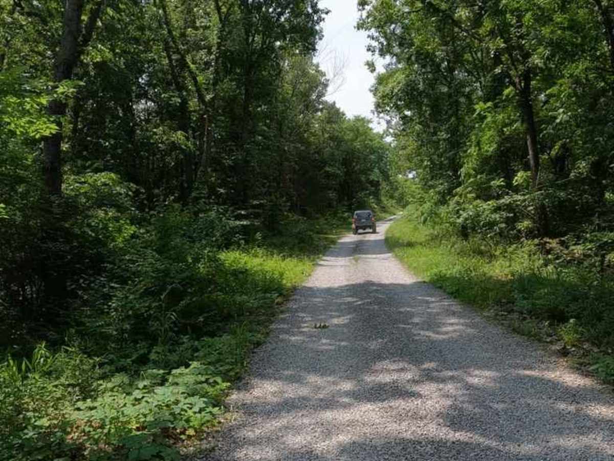
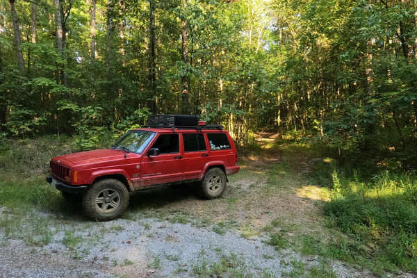
Trail Overview
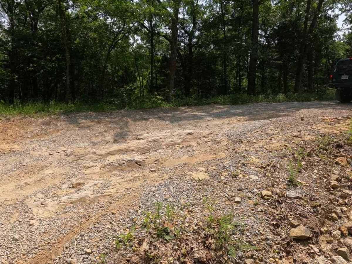
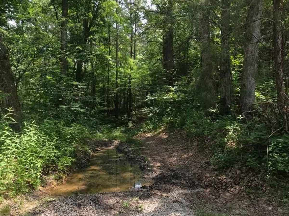
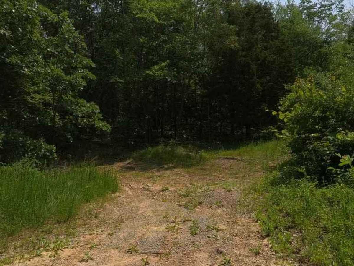
The Eagle Mountain Fire Road is a gravel service road through the Eagle Mountain area in the most northern section of the Hidden Springs sector of Shawnee National Forest. The road acts as a main artery road that most of the other trails in the area are connected to or even loop back to. It is mostly well-kept but has a few spots that have natural rock at the surface that needs to be navigated. Going north to south, it first snakes up into the mountain using a subtle switchback going up a steep grade with some natural terrain and loose rock in the roadway, then peaks at the 1.5-mile mark, where the road slowly goes back downhill into the bottoms on the opposite side of the mountain where it rides along the feeder branches of the Rose Creek at Dennison Hollow, here you may experience a few mild creek crossings with mild drops into the natural creek bottoms, lastly you go over one last mild grade, ending on the other side at Gape Hollow Road. Overall a generally easy, scenic, and fun road that provides access to several of the area's more challenging trails.
Difficulty
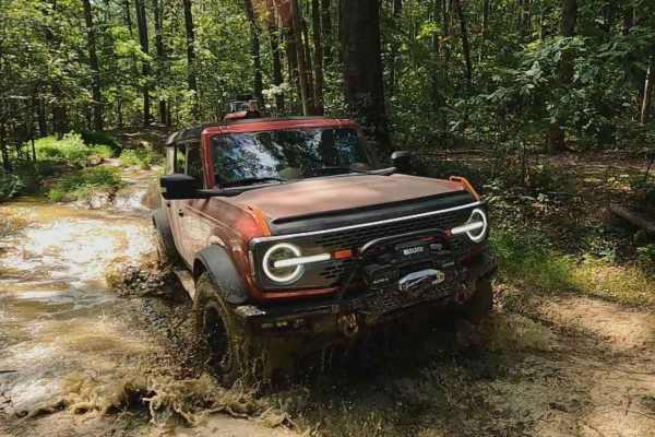
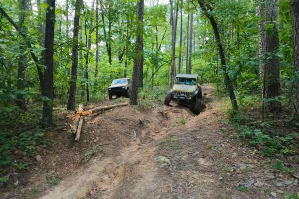
The difficulty of the Eagle Mountain Fire Road is in the maintenance of the northern uphill section and the amount of rain and water that is in the area near the Rose Creek. First the uphill grade on the north side has sections that are very natural with hard rock sticking out at the surface, making you pick what line would be most comfortable, to add to this these areas collect more course loose gravel and rock as well, creating low traction spots, momentum or 4WD is helpful here. Then there is the creek bottoms section of the road, there was specifically two spots that with a decent rain could pose deep water crossings, the two crossings both feature a mild drop into the natural loose creek bed rock below, you have to drive through them slowly, which could pose a threat if the water were to be up, on a normal day these creeks are at less than 1 foot of water, the max I could see them getting to is 2 foot, but this would be rare, but not impossible. All this said, the road is given a 2/10, being in the average maintained condition, in perfect conditions it might lean towards a 1/10, but in inclement weather or hard downpours, this could also lean towards a solid 3/10. It would achieve this with a good layer of snow on top of it.