Trail Overview
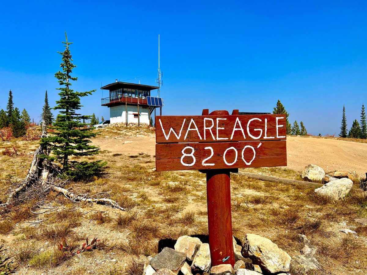
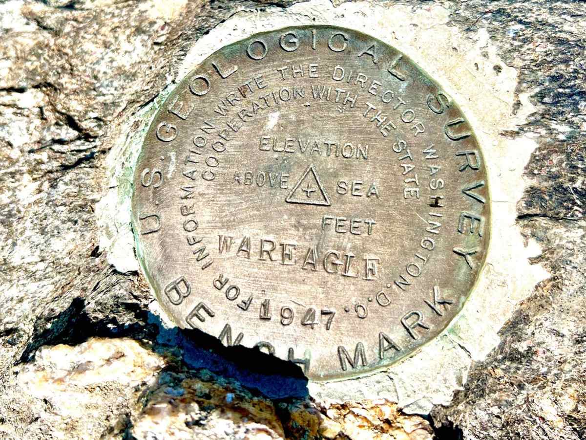
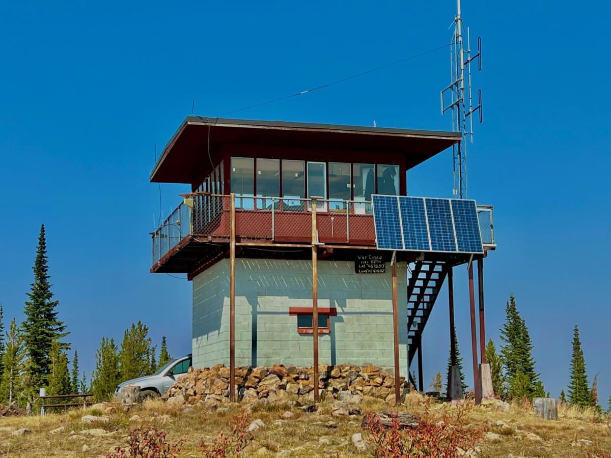
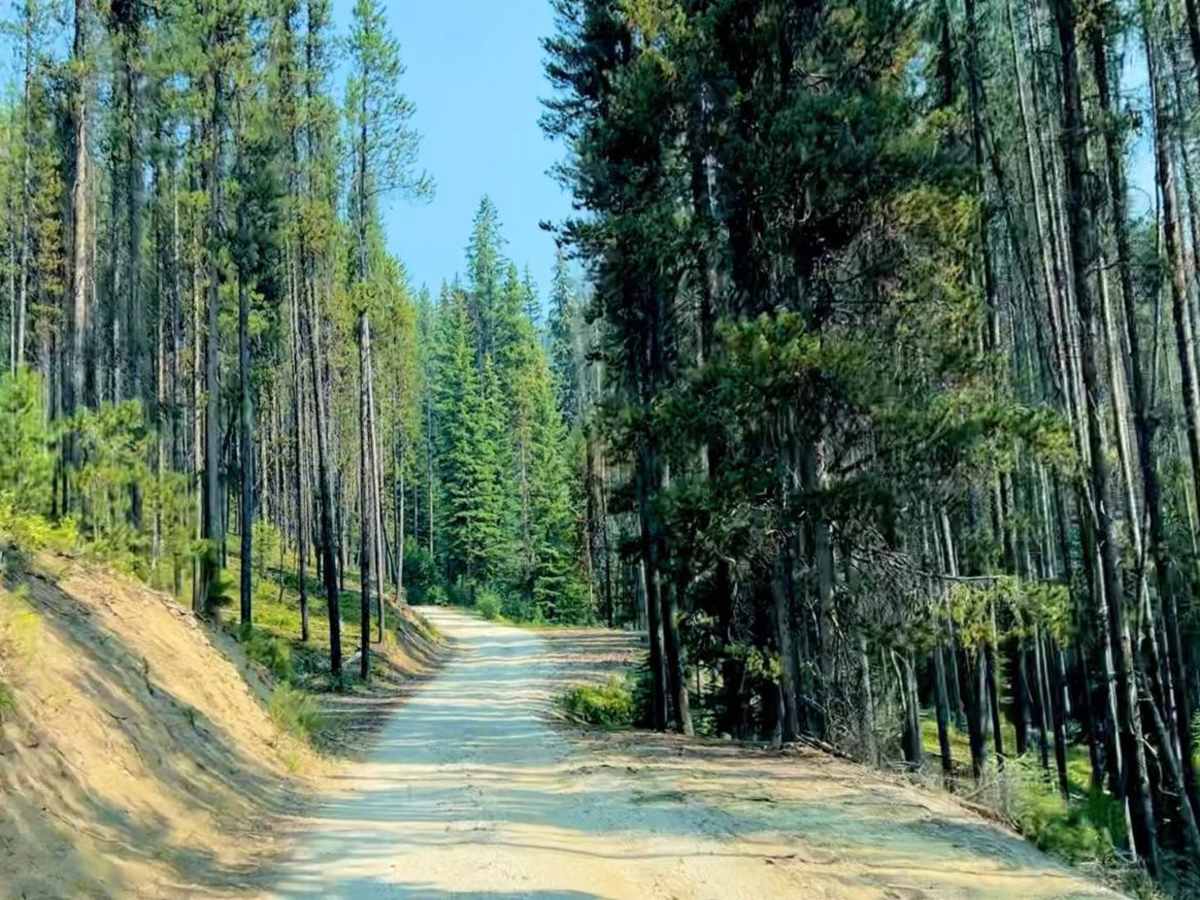
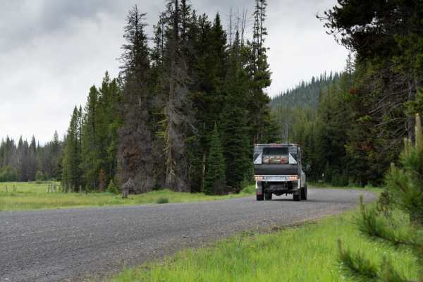
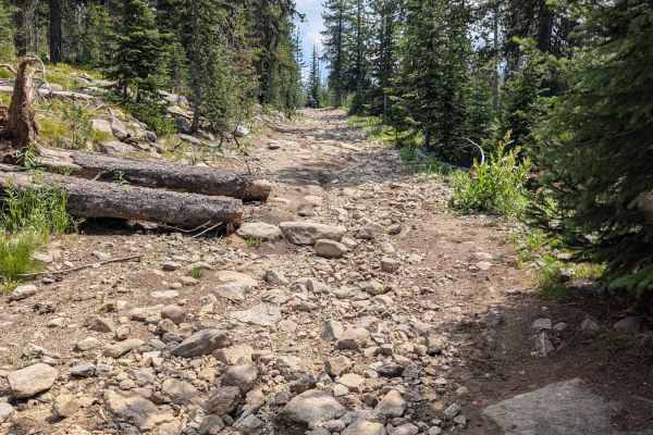
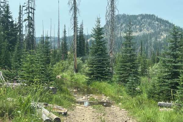
War Eagle Lookout Tower Trail offers offroaders of all skill levels an accessible, highly scenic mountain journey culminating at an active historic lookout tower with panoramic backcountry views. Starting near the historic community of Secesh, Idaho, this 14-mile dirt trail climbs roughly 2,910 feet in elevation as it snakes up to War Eagle Lookout Tower, situated at an elevation of 8,214 feet. The trail is rated a 2 out of 10 in difficulty during the dry summer months, making it suitable for standard high-clearance vehicles, four-wheel-drive trucks, SUVs, and SxSs. Along the route, drivers will traverse a mix of forested areas and older burn scars that offer open vistas, eventually reaching the lookout tower, which is staffed during the summer by the Forest Service and provides ample parking.
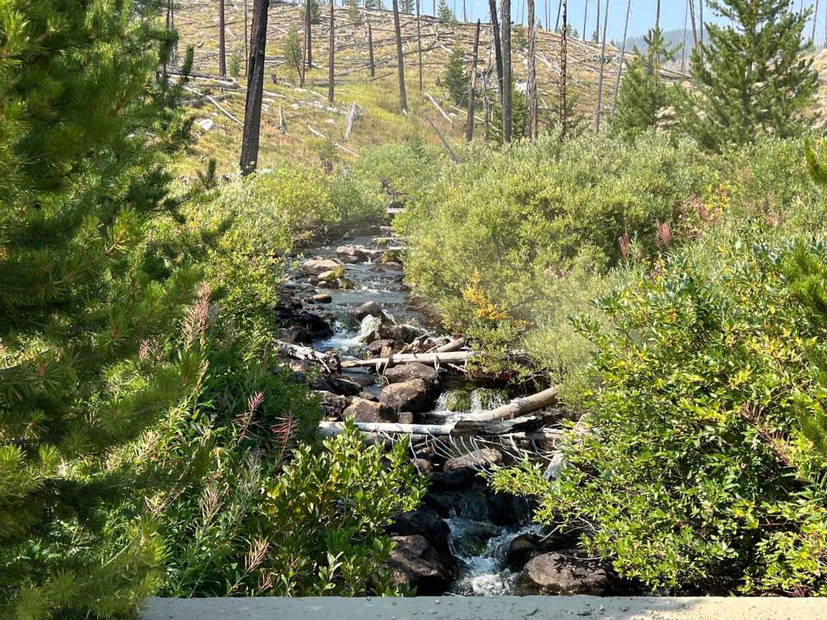
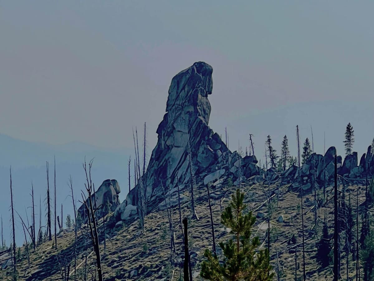
After visiting the summit, the route continues down past Chimney Rock, offering access to beautiful dispersed camping spots and creekside areas perfect for a quick swim. The route begins at an elevation of approximately 5,838 feet and features moderate, steady climbs with occasional steeper sections, though the primary surface remains relatively smooth and predictable dirt. While highly manageable when dry, the trail transforms into a difficult winter drive that strictly requires capable four-wheel-drive vehicles with recovery gear or snowmobiles due to heavy snowfall at these high altitudes. Before heading out, travelers can stop by the Secesh Stage Stop for a hot meal or to rent a cabin, making it an excellent basecamp for exploring the surrounding Payette National Forest.

 Offroad