Upper Pahsimeroi River

Total Miles14
Technical Rating
5Moderate
Best TimeSummer, Fall
Trail TypeFull-Width Road
Accessible By
Open Trail Map

Trail Overview

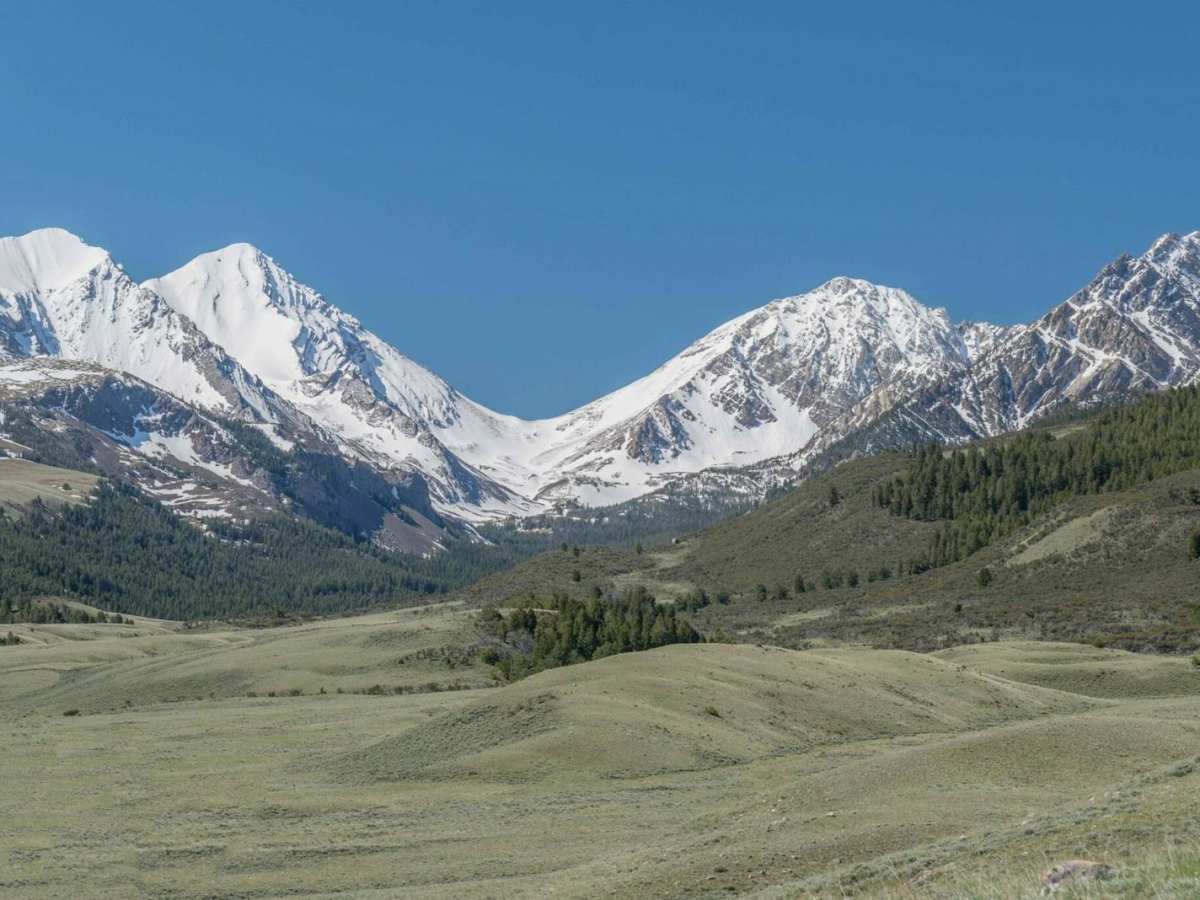
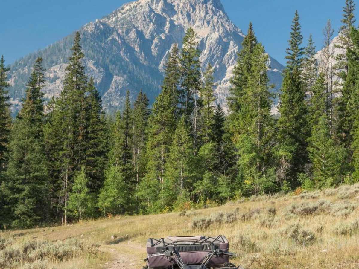
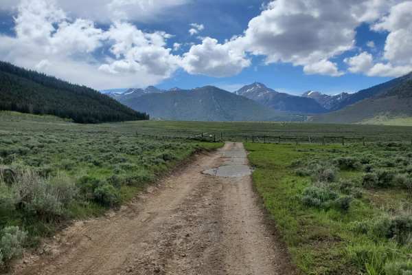
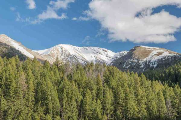
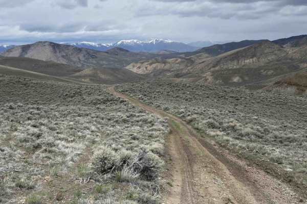
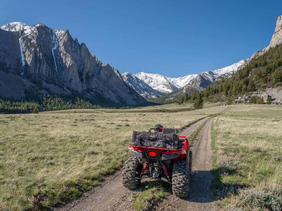
The Upper Pahsimeroi River is absolutely beautiful. It is affectionately known as the 'Swiss Alps' by the locals. There are many hiking trails up into the wilderness areas of the Lost River Range. This area shows the highest peaks of the Lost River Range which is the highest in Idaho at more than 12,000 feet. This area is located close to Mackay, Idaho, which makes a great basecamp for exploring here. There are two ways to reach here from Mackay. They are Pass Creek and Doublespring Pass. The road is rocky and slow, but not overly difficult.

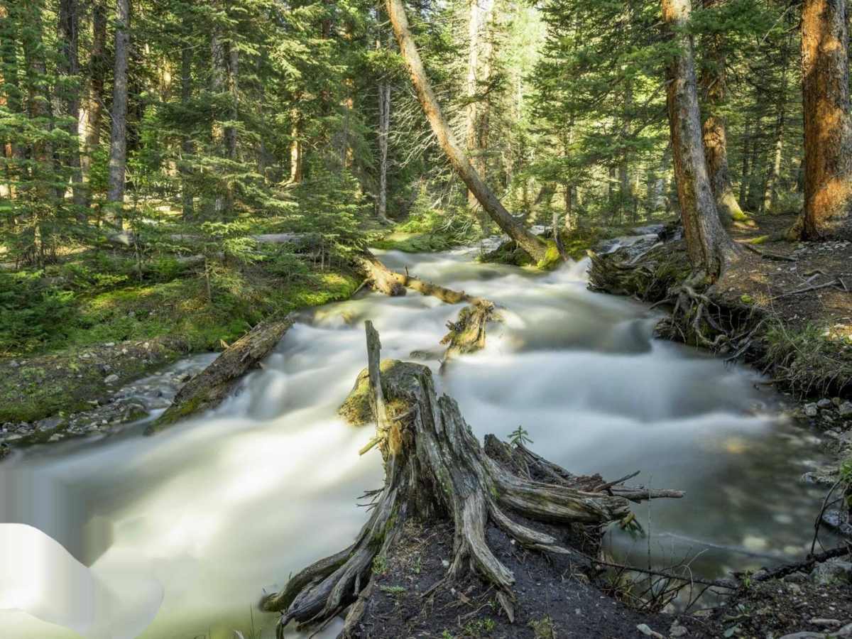
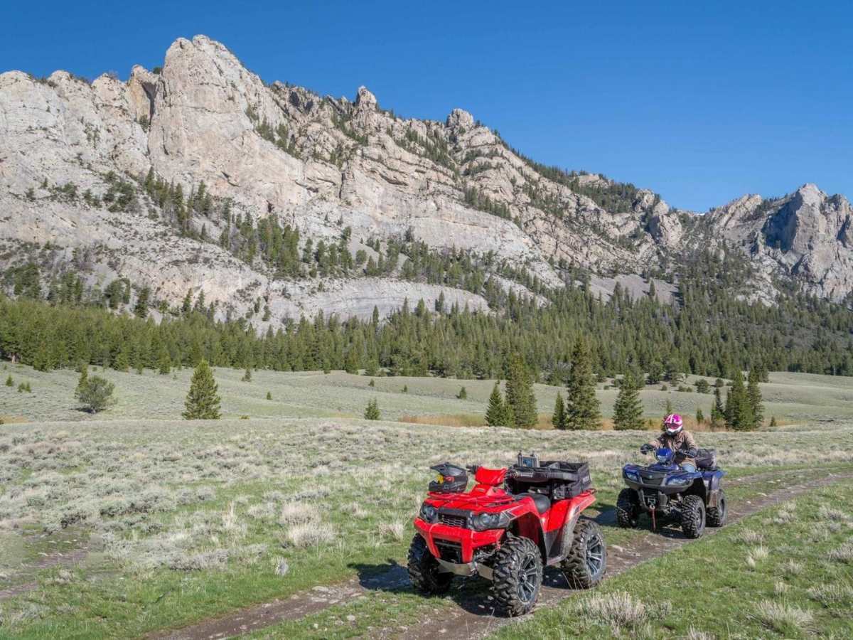
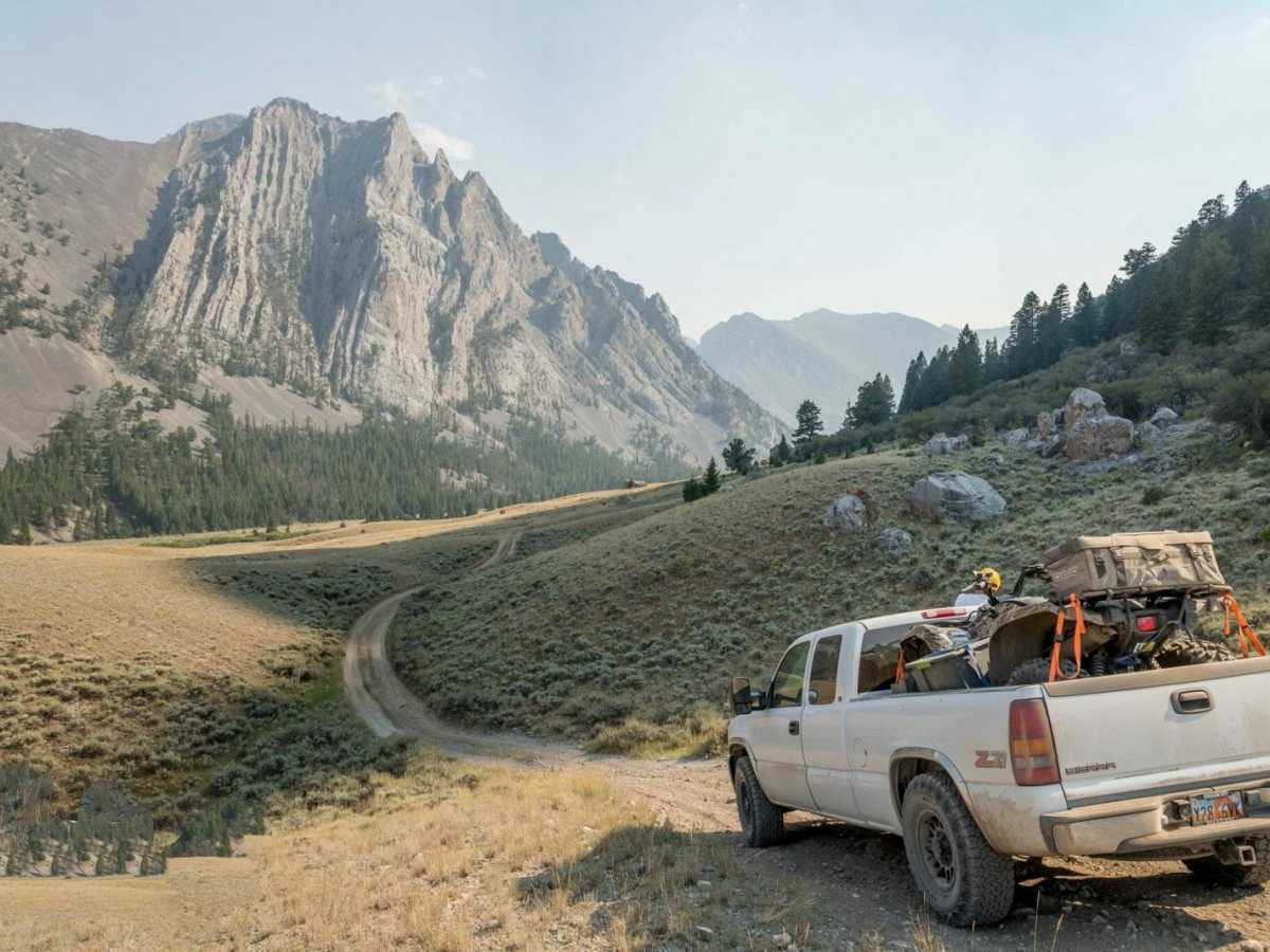
Photos of Upper Pahsimeroi River

Technical Rating

5

Status Reports

Add Status Report
Jordan
Jul 24, 2026
Open
Muddy/Wet
Some rock gardens, easy enough for stock 4x4 vehicles. The only real obstacle is a creek crossing that was approximately 8 inches deep and 12 feet across after a hard rain overnight. The creek bed is rocky and easy enough to drive over without getting bogged down. Lots of camping options.
Raymond Rodriguez
Jul 17, 2026
2026 Honda Passport
Open
Normal
wood stock
Jun 20, 2026
Open
Normal
Dexter Bird
Jun 13, 2026
2021 Nissan Frontier
Open
Normal
Some rocky spots. Nothing a truck or SUV with 4x4 can't handle.
Johnathon Gatewood
Aug 30, 2025
Open
NormalWashboard
This is the best off-road trail I’ve ever taken in Idaho and is most definitely a hidden gem. My father in law had trouble at the creek crossing with his GS850 due to not having the right tires. This trail will get you out in the remote forest and doesn’t take much effort. The trails start out night very technical until you get the first creek crossing. If you’re willing to cross the creeks you’ll be rewarded with some of the most beautiful scenery I’ve personally seen Idaho. I will be back.
Randy Boone
Jul 23, 2025
1968 Volkswagen Beetle
Open
NormalDustyRough/DeterioratedWashboard
Josh Holloway
Oct 08, 2024
2016 Toyota Tundra
Open
DustyRough/Deteriorated
Justin Reinwand
Aug 30, 2024
Open
Dusty
Cy Williams
Sep 03, 2023
Open
Rough/Deteriorated

Upper Pahsimeroi River Trail can be accessed by the following ride types:

  • Single Track
  • 50 Inch
  • 60 Inch
  • High Clearance
  • Full Width

Upper Pahsimeroi River Map

The onX Offroad Difference

onX Offroad combines trail photos, descriptions, difficulty ratings, width restrictions, seasonality, and more in a user-friendly interface. Available on all devices, with offline access and full compatibility with CarPlay and Android Auto. Discover what you're missing today!

Open Trail Map