South Fork of the Salmon River Trail

Total Miles7.9
Technical Rating
9Extreme
Best TimeSummer, Fall
Trail TypeSingle Track
Accessible By
Open Trail Map

Trail Overview

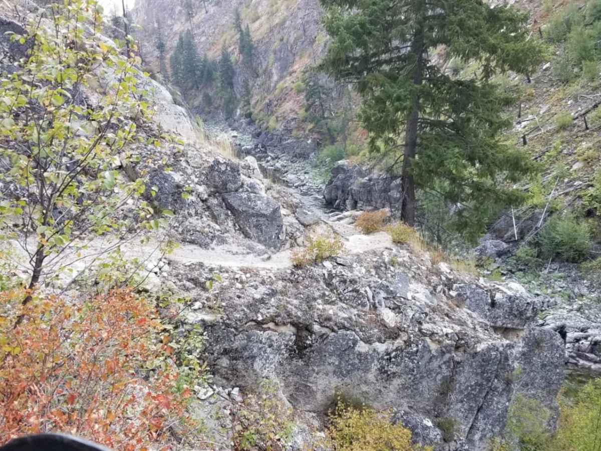
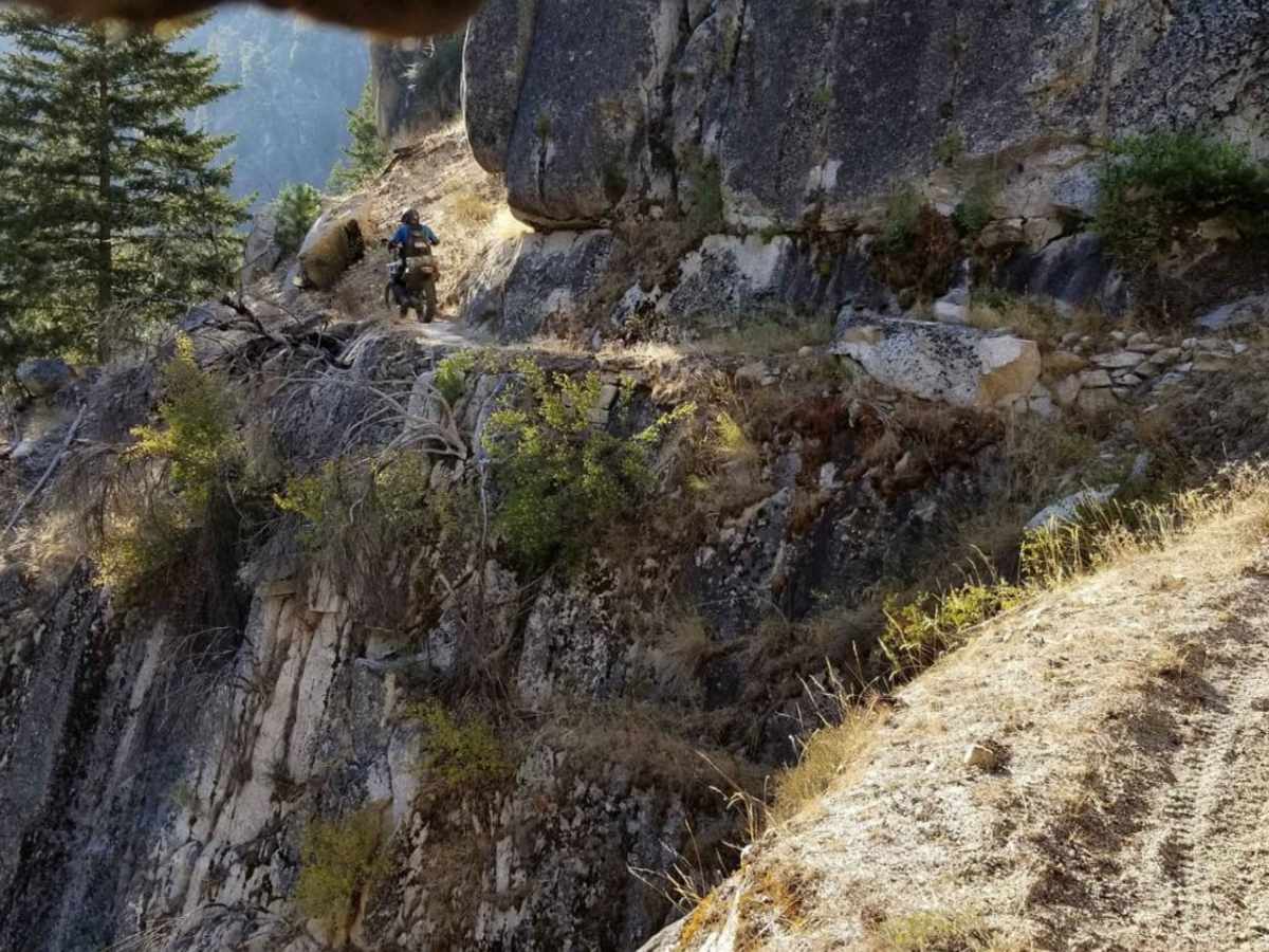
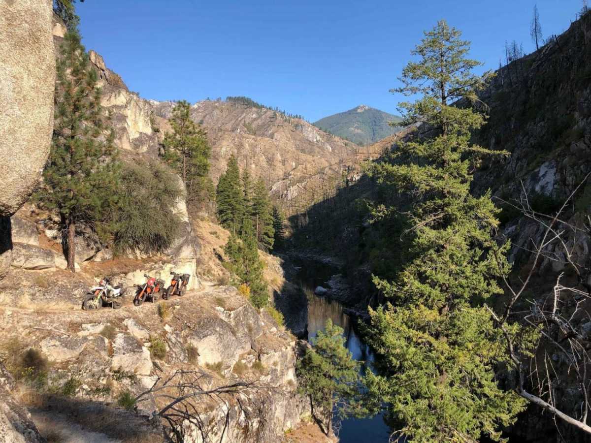
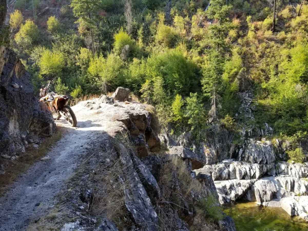
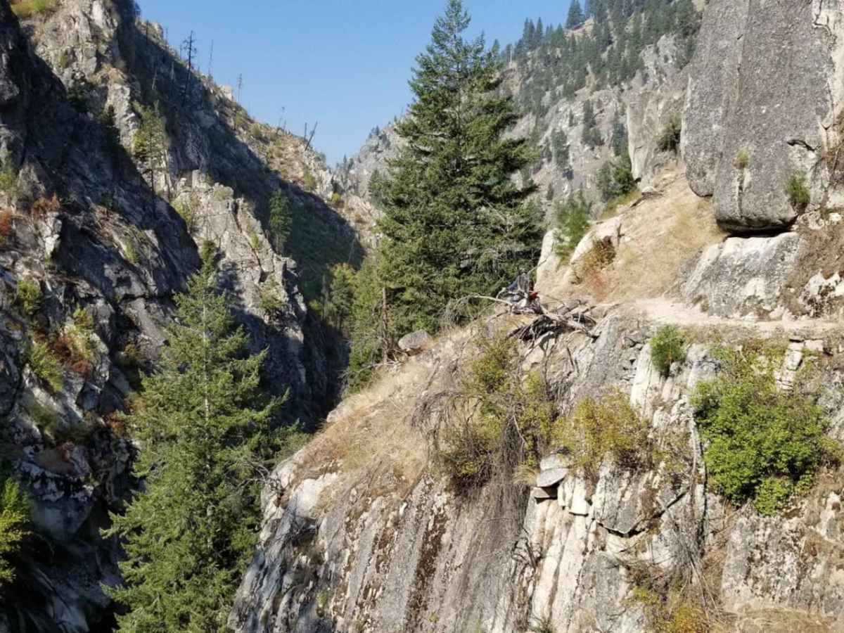
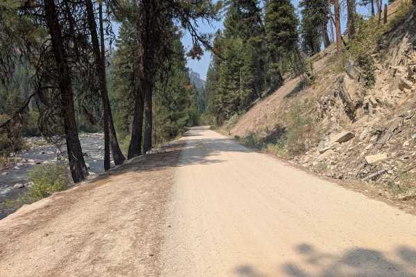
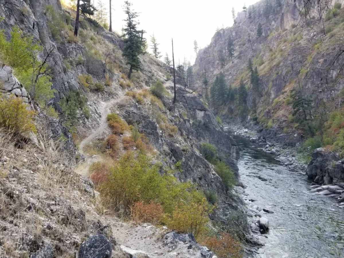
The South Fork of the Salmon River trail is the famous "Cliff Trail". It is approximately 8 miles each way as an out and back. The trail has multiple sections on the side of the cliff with extreme exposure to the river. Extreme caution is required when following this trail. There is a registration box at the beginning of the trail that the Forest Service asks each user to fill out before going on the trail. The trail isn't technically difficult and is fairly wide throughout most of it, however, there is high risk if you are afraid of heights or have poor throttle control.

Photos of South Fork of the Salmon River Trail

Difficulty

There is extreme exposure that can be nerve-wracking. Technical difficulty isn't high, but significant harm or damage to your bike can occur if not ridden carefully.

Technical Rating

9

Status Reports

Add Status Report
SteveT7
Jul 08, 2026
Open
Normal
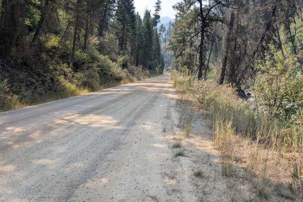
Two Jumanji level overgrown spots otherwise a tad sandy with some pinecones mixed in. Out and back trail. Private property fence on East end of trail

South Fork of the Salmon River Trail Trail can be accessed by the following ride types:

  • Single Track

South Fork of the Salmon River Trail Map

The onX Offroad Difference

onX Offroad combines trail photos, descriptions, difficulty ratings, width restrictions, seasonality, and more in a user-friendly interface. Available on all devices, with offline access and full compatibility with CarPlay and Android Auto. Discover what you're missing today!

Open Trail Map