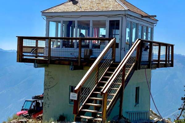
Lick Creek

Total Miles30.8
Technical Rating
2Easy
Best TimeSummer, Fall
Trail TypeFull-Width Road
Accessible By
Open Trail Map

Trail Overview

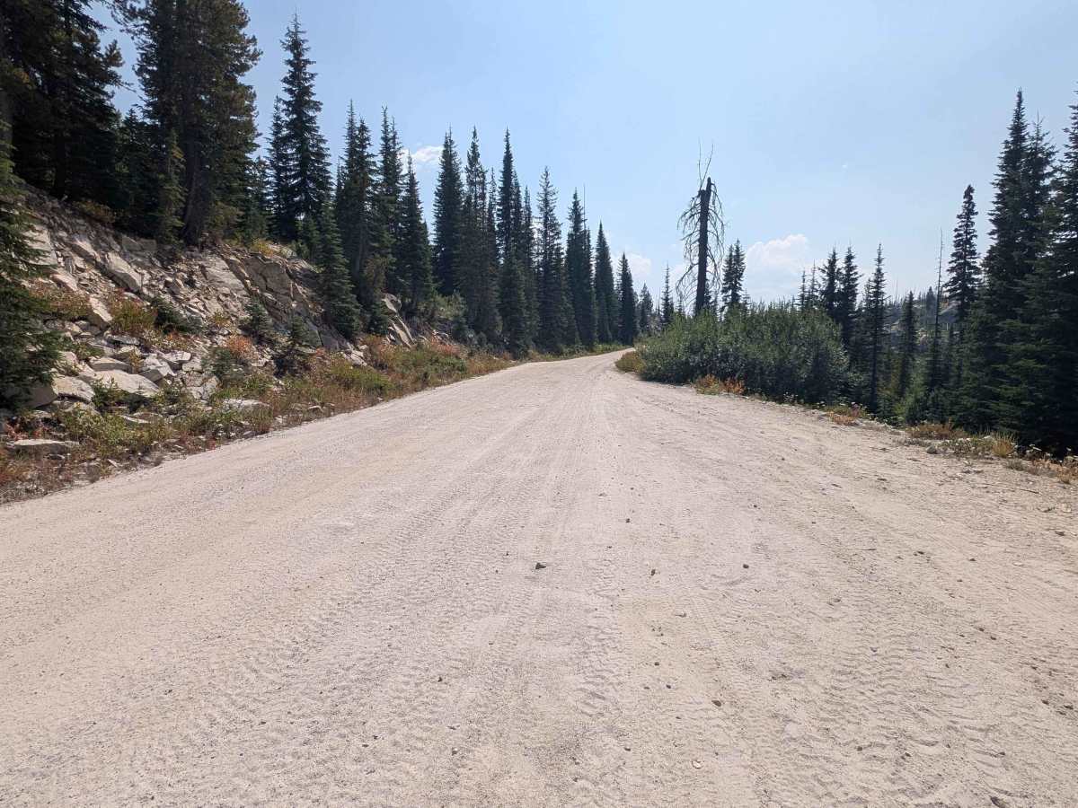
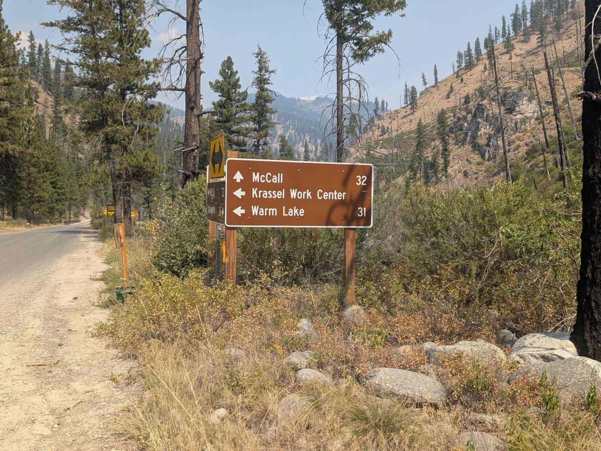
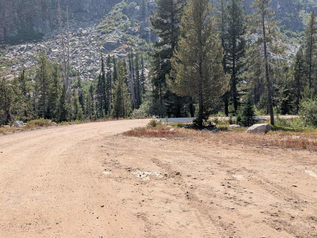
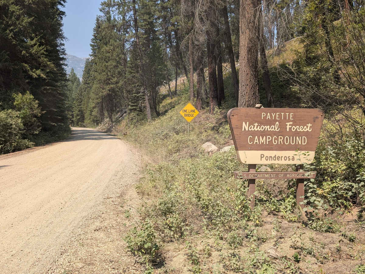
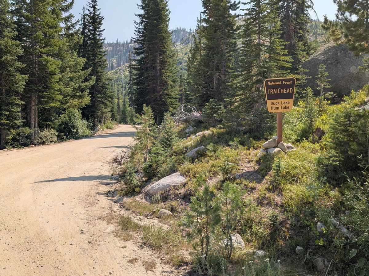
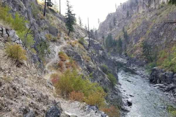
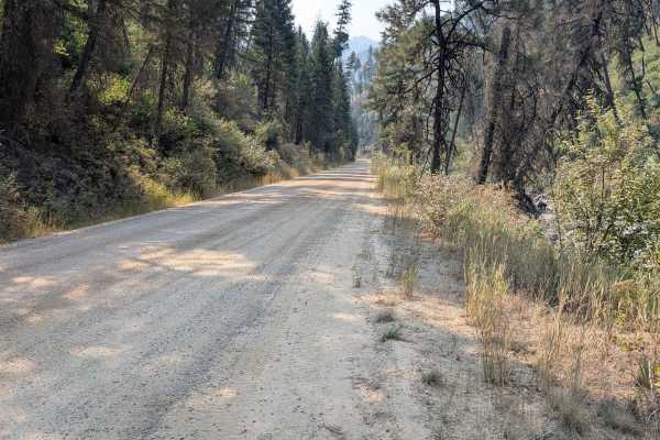
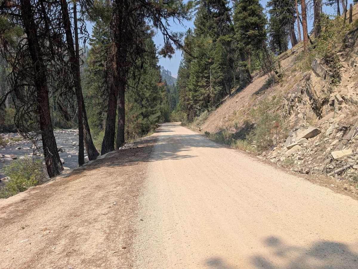
Lick Creek Road runs between McCall, Idaho and the South Fork of the Salmon River. The road is sand, gravel, and rocks. It's 30.8 miles with a variety of scenery, including forested areas, rocky mountains, outcroppings, and views of Lick Creek. The road has rough, washboard spots along with rocky stretches. There are several one-lane bridges along the route. The road is unpaved until approximately 5 miles from McCall, Idaho.

Photos of Lick Creek

Difficulty

Most of the road is one-lane with frequent wide spots to pull off when meeting another vehicle. Some sizable rocks may make it difficult for vehicles with low suspension to navigate.

Technical Rating

2

Lick Creek Trail can be accessed by the following ride types:

  • Single Track
  • 50 Inch
  • 60 Inch
  • High Clearance
  • Full Width

Lick Creek Map

The onX Offroad Difference

onX Offroad combines trail photos, descriptions, difficulty ratings, width restrictions, seasonality, and more in a user-friendly interface. Available on all devices, with offline access and full compatibility with CarPlay and Android Auto. Discover what you're missing today!

Open Trail Map