Trail Overview
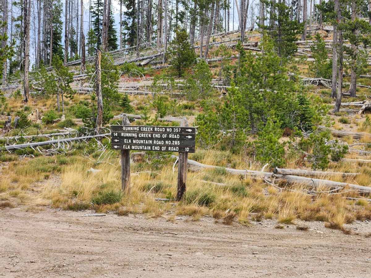
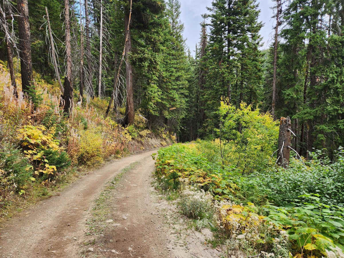
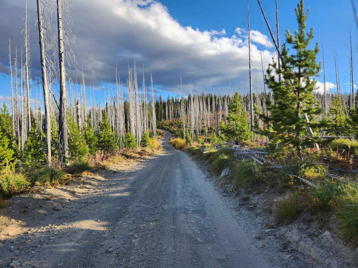
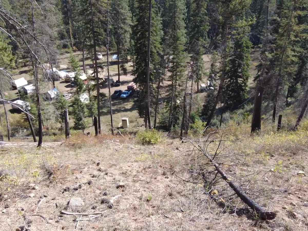
Running Creek or FR357 is a remote gravel and dirt route deep in the Nez Perce National Forest of Idaho adjacent to the Selway Bitterroot Wilderness. The road descends from nearly 7k feet to 3.8k feet in elevation with no alternate route out. The road is rutted, narrow, steep, and occasionally off-camber with steep shelf ledges. There are frequent downed trees across the roadway due to recent fires. Additional fuel is necessary and it is not recommended to travel if there is any chance of snowfall as you will not be able to get out. Trailers are not recommended past the junction with Elk Mountain (FR285). The road leads to the Wally York hunting camp at the end, with multiple hiking trails that enter the Selway Bitterroot Wilderness. There are grouse, deer, elk, bears, and various foragers in the area. There are no bathrooms, parking areas, or campsites along this road.
Difficulty
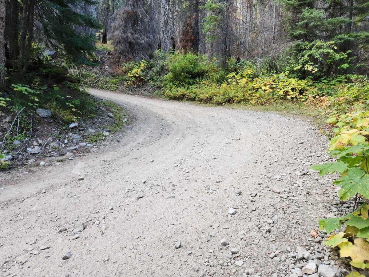
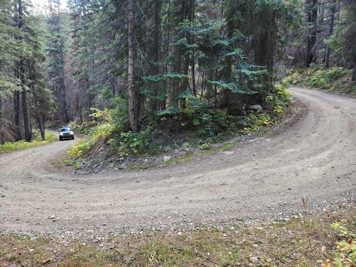
This road is very remote and descends deep into a river canyon. The road is rutted, narrow, steep, and occasionally off-camber with steep shelf ledges. There are frequent downed trees across the roadway due to recent fires. Additional fuel is necessary and it is not recommended to travel if there is any chance of snowfall as you will not be able to get out. Trailers are not recommended past the junction with Elk Mountain.