Old Ranger

Total Miles 13.3
Technical Rating
6 Moderate
Best Time Spring, Fall
Trail Type Single Track
Accessible By
Open Trail Map

Trail Overview

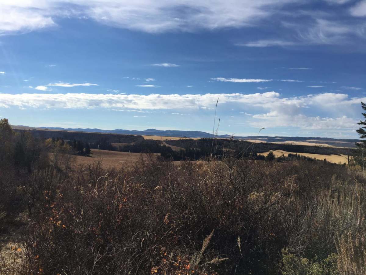
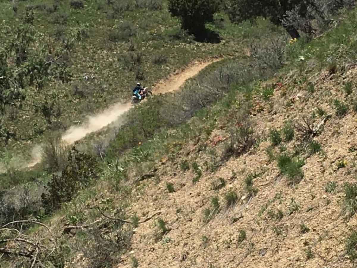
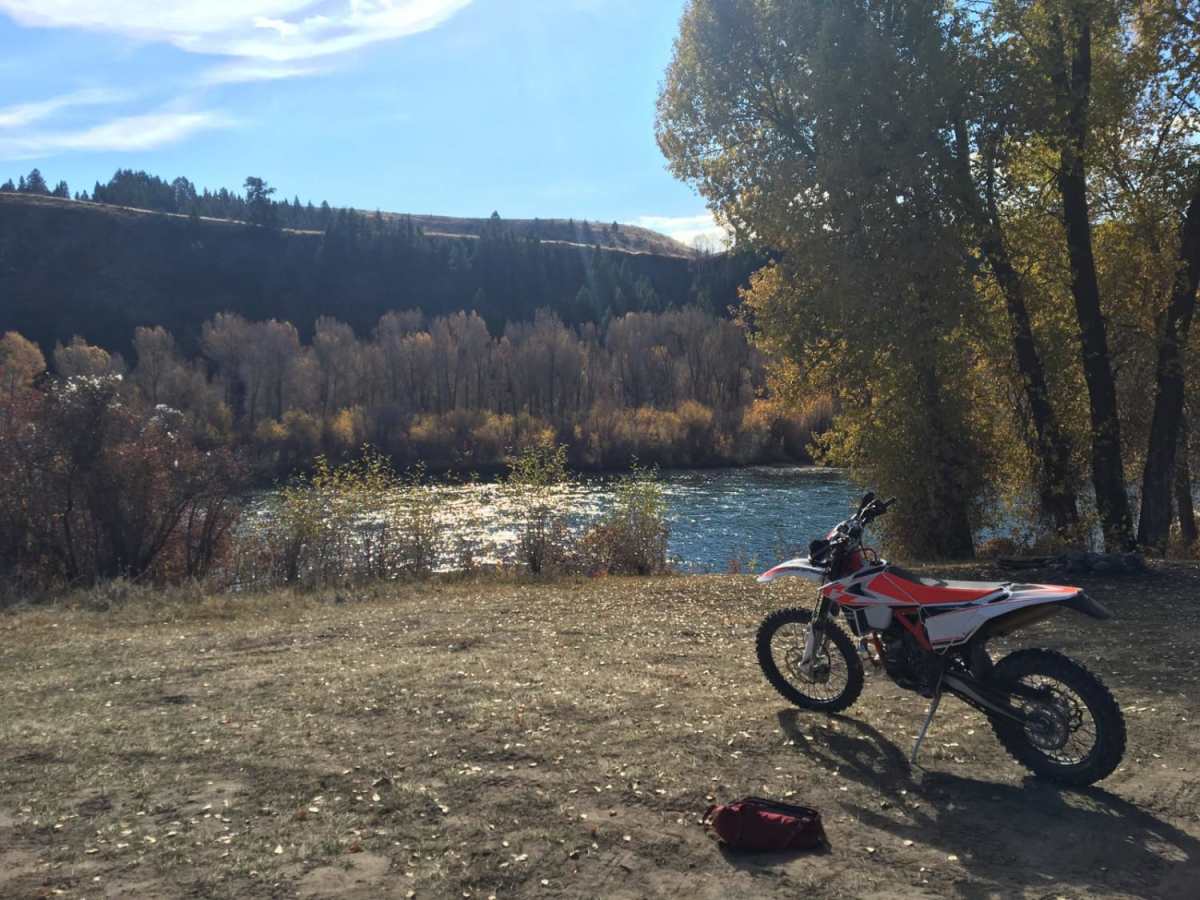
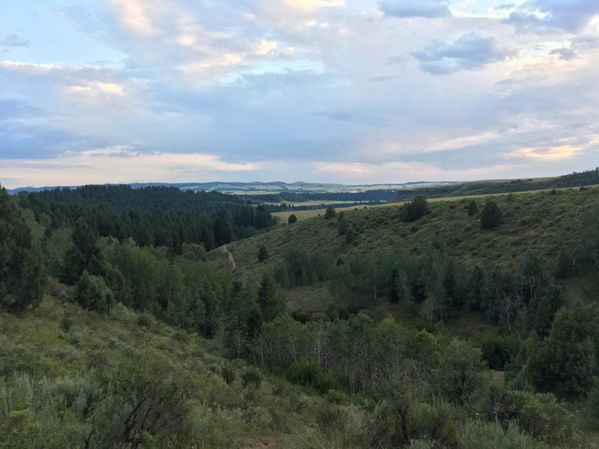
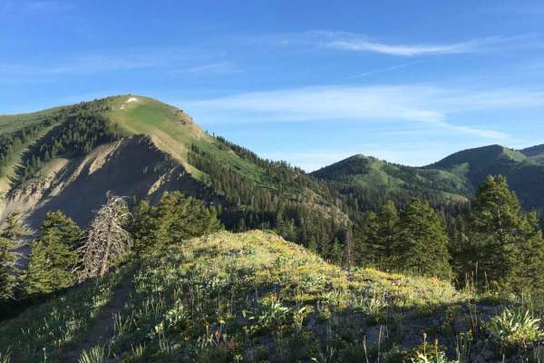
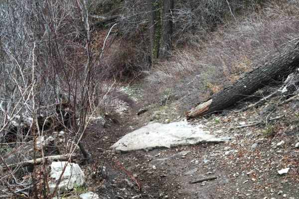
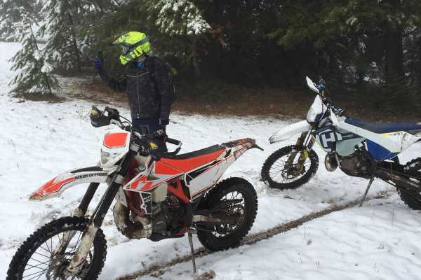
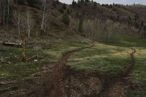
Old Ranger is a trail that has been around for years, and offers great views of the South Fork of the Snake River that is accessible very early in the year. It is a great trail for early spring to scratch your single-track itch while the snow melts in the upper elevations. With light snowfall, the trail is accessible as early as late April, early June. The trail is accessed in the spring before all the snow has melted by heading towards Kelly Canyon, but turning right at the last fork in the road prior to heading up to the resort. When the road is passable, you can take the fork down to the river from the Y-parking lot. The main trail is very easy and beginner riders can handle it. There is one major hill climb and an optional technical section past the river crossing. If the river crossing is passable, it offers beautiful views but is not for the faint of heart. The hill climb is rated as a 5, and the water crossing (Burns Creek) and after is not recommended unless you are ok with around a level 8. The trail is very windy and extremely narrow. If you want to skip the section, after coming out on Burns Creek road (Forest Road 210), head east on Forest Road 206 and meet back up with the trail when the road ends. The latter part of the trail is much more rocky and has switchbacks and a few climbs. This part of the trail is a 6-7 depending on what kind of rider you are, but provides awesome views. As a summary, the first part of the trail from Wolverine Creek (43.61520751288944, -111.5394561823702) to Burns creek road (43.603766430491376, -111.47139431338192) as a 4 and can be done by it's own. The portion between Burns Creek Road and the end of 206 (which can be bypassed) is an 8. The final portion of the trail I would rate as a 6-7.

Photos of Old Ranger

Difficulty

the first part of the trail from Wolverine Creek (43.61520751288944, -111.5394561823702) to Burns creek road (43.603766430491376, -111.47139431338192) as a 4 and can be done by it's own. The portion between Burns Creek Road and the end of 206 (which can be bypassed) is an 8. The final portion of the trail I would rate as a 6-7.

Technical Rating

6

Status Reports

Add Status Report
Mike Jensen
May 07, 2026
Open
Open couple of trees across the trail though.
George Wilson III
Apr 30, 2026
Open
Rick N.
Apr 04, 2026
Open
Trails are expected to open at sunrise on May 1st!
Jon Walker
Jul 05, 2025
Open
Fun trail between Wolverine Creek Trailhead and Burns Creek. The section between Burns Creek and Black Canyon is getting over grown and a section where you have to side hill on a very narrow and steep trail. Be very careful on this section. If you slip off the trail you will probably lose your bike.
Douglas Jones
Jun 21, 2025
Open
This is a fun and challenging single-track trail, great for skilled riders or newer ones looking to improve. If you're familiar with it, note the final hill climb before Burns Creek has been rerouted with a sharp 180° switchback to the south. It may be tricky for those with limited bike control. Expect to see other riders—it's a popular spot—but there are plenty of pull-offs to let others pass or take a break. If you plan to cross Burns Creek, the water reaches about mid-engine. After the crossing, the trail becomes extremely narrow and rarely used, making turning around difficult. Most riders take the road back to the Wolverine Creek trailhead to loop around.
Mike Barry
Oct 20, 2024
Open
Really fun mostly intermediate level trail. Starts off really easy and gets progressively more difficult. I highly recommend to skip the section between Woods Canyon and Black Canyon unless you like very narrow (<6in) off camber with lots of exposure. The section is doable but wasn’t enjoyable for me and there was no possibility of turning around once I got to the bad parts of the trail. You can bypass this section by taking the road.
Brennen Andersen
Jun 08, 2024
Open
The section from berns to blacks is very rough. The creek crossing is a little over knee height, and there is a section of trail that is sluffed off, and you kind of have to wall ride.
Kenai Zamora
Apr 15, 2023
Open

Old Ranger Trail can be accessed by the following ride types:

  • Single Track

Old Ranger Map

The onX Offroad Difference

onX Offroad combines trail photos, descriptions, difficulty ratings, width restrictions, seasonality, and more in a user-friendly interface. Available on all devices, with offline access and full compatibility with CarPlay and Android Auto. Discover what you're missing today!

Open Trail Map