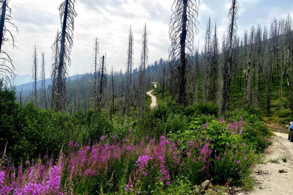
Trail Overview
Middle Fork Road is an unpaved route running 22.6 miles along the Middle Fork Boise River through the Boise National Forest. The road is primarily dirt and gravel, with an elevation ranging from 3,425 to 4,383 feet, and is generally passable for standard two-wheel-drive vehicles during dry conditions.
Drivers should watch for seasonal hazards such as mud, washouts, and standing water. Winter conditions bring heavy snowpack, restricting access. The route provides access to dispersed campsites, river recreation, and popular side destinations like Loftus Hot Springs.
Access Description
The route is located within the Boise National Forest and does not require any entry fees or special permits for standard day-use driving. The road is typically free of snow and fully passable from late spring through late autumn, while winter weather brings heavy snowpack that limits access to snowmobiles or tracked vehicles.