Trail Overview
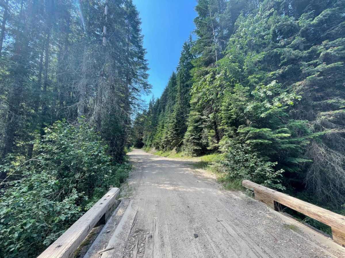
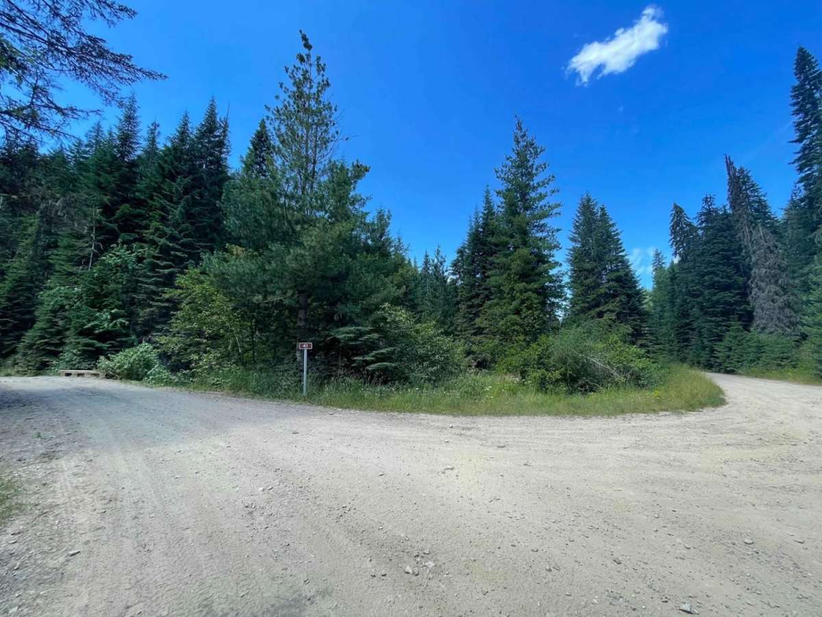
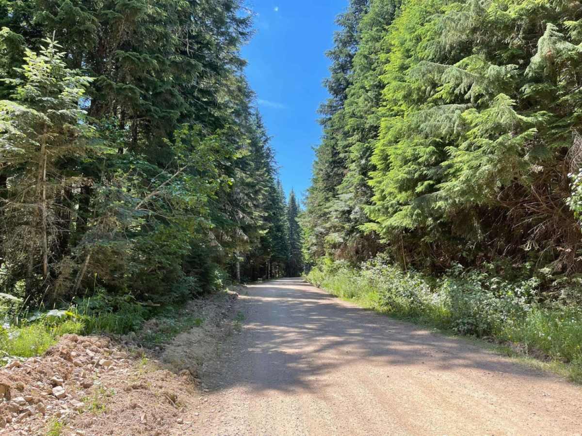
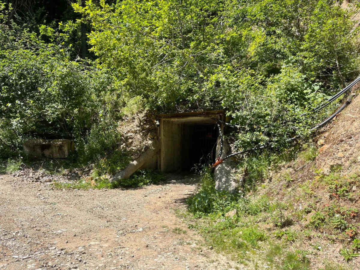
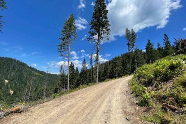
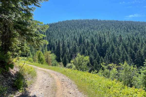
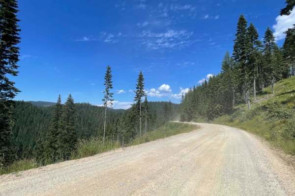
Lone Cabin Creek is an easy, scenic 2.7-mile unpaved route ideal for beginner offroaders, high-clearance four-wheel-drive vehicles, and SxSs looking to reach the expansive trail network at Five Fingers Saddle. This well-traveled, graded trail winds through the lush mountains of the Coeur d'Alene National Forest, running along the beautiful creek corridor and climbing approximately 560 feet from an elevation of 2,970 feet up to 3,534 feet. While the route is mostly wide enough to permit oncoming traffic to pass easily, drivers will encounter a few narrow sections that require pulling into designated turnouts. The trail surface is generally smooth with a technical rating of 2, though travelers should watch for occasional shallow potholes and minor washboarding.
Most of the route travels alongside Lone Cabin Creek with limited direct water access, but there is one highly popular, primitive camping spot along the way that fills up quickly on weekends. Because the trail lacks winter maintenance and is located in a remote area with no cellular service, offroaders should come prepared with downloaded maps, recovery gear, and proper safety equipment. At the top of the climb, Five Fingers Saddle offers an array of additional trail options to explore, making this route an excellent starting point or connecting segment for a longer day of riding in the Idaho panhandle.
Access Description
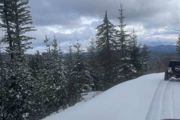
No winter maintenance is performed on this route. There is no cellular service along the trail, so offline maps are highly recommended. Dispersed camping is permitted, but the single popular creek-side campsite is often occupied on weekends.