Trail Overview
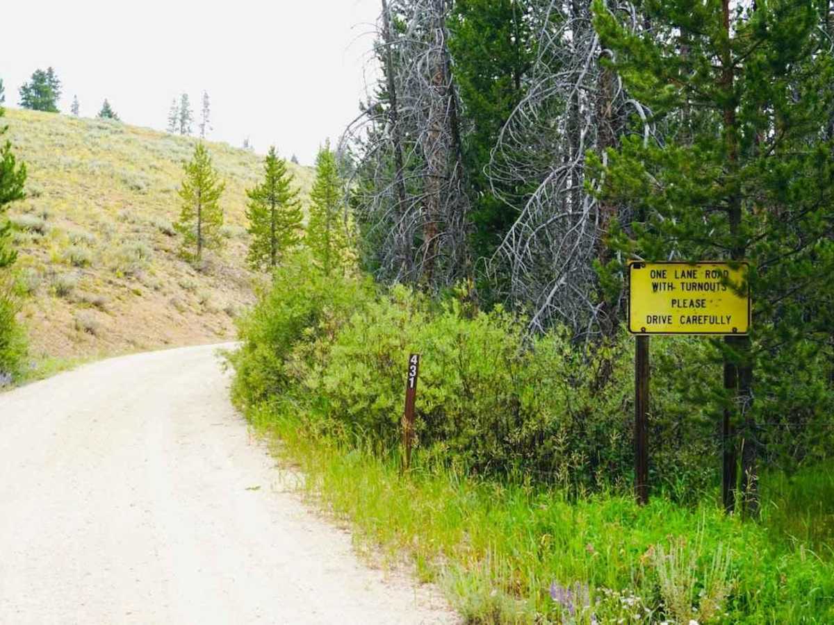
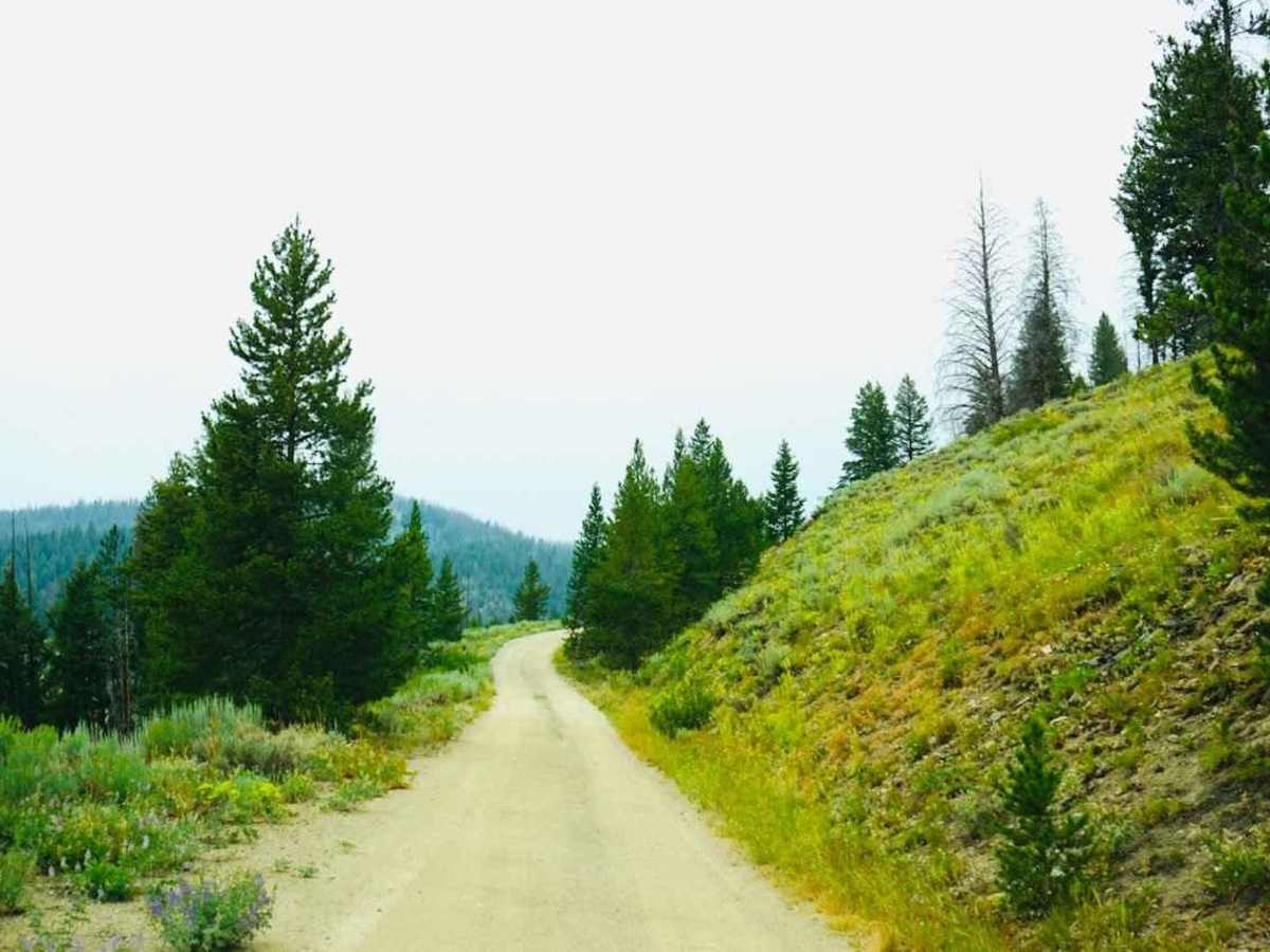
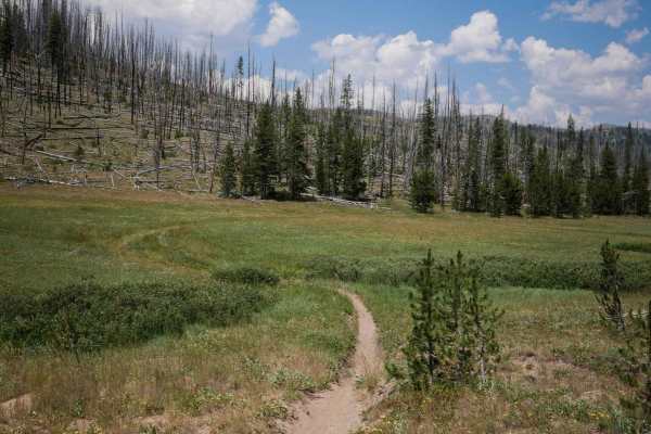
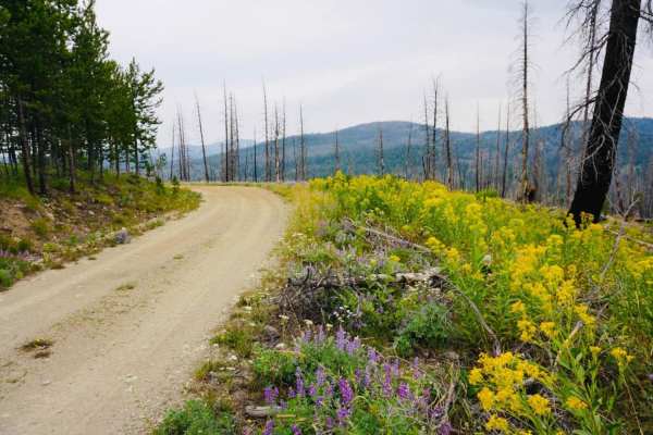
Kelly Creek is an easy, scenic two-mile drive that is perfect for beginners, families, and any vehicle type looking to explore the rich history of the Stanley Basin. Spanning approximately 1.9 miles with a gentle elevation gain of about 217 feet, this maintained forest service road starts at the intersection with Stanley Creek Road and winds through a peaceful valley. The well-graded, unpaved surface ensures a relaxed excursion with no technical obstacles or specialized four-wheel-drive required, making it highly accessible to standard passenger cars under dry conditions.
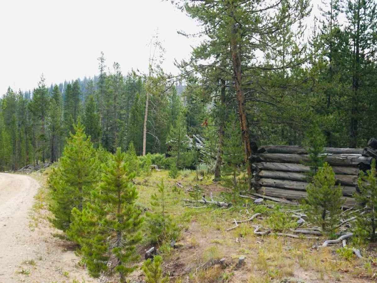
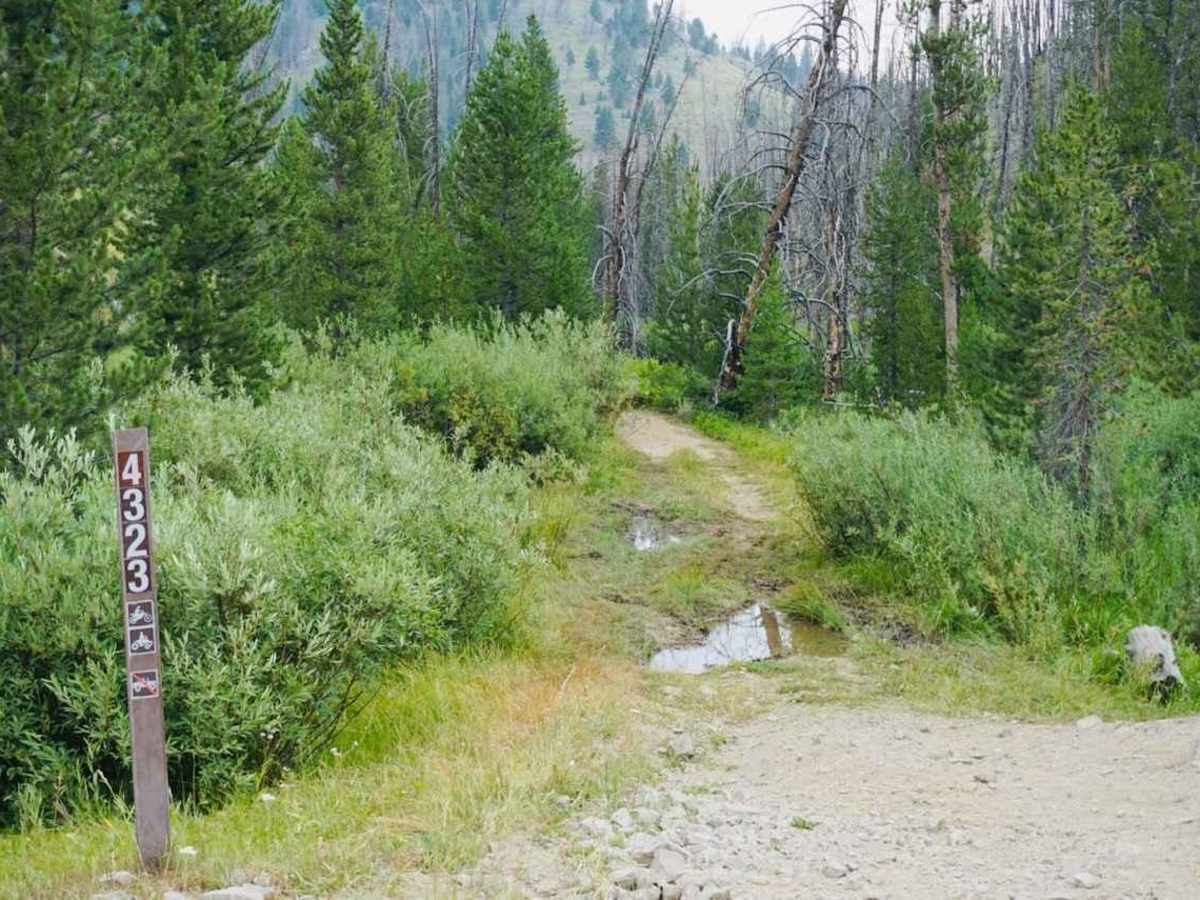
Along the route, visitors will pass the extensive ruins of historic Stanley Basin mining encampments, providing a fascinating glimpse into the area's pioneer heritage. The corridor offers numerous excellent opportunities for scenic dispersed camping in a serene mountain setting. The road eventually reaches the Kelly Creek Trail (4323)—a dedicated route for ATVs and dirt bikes—before continuing seamlessly as Noho Creek Road for those wishing to extend their journey deeper into the Idaho backcountry.