Trail Overview
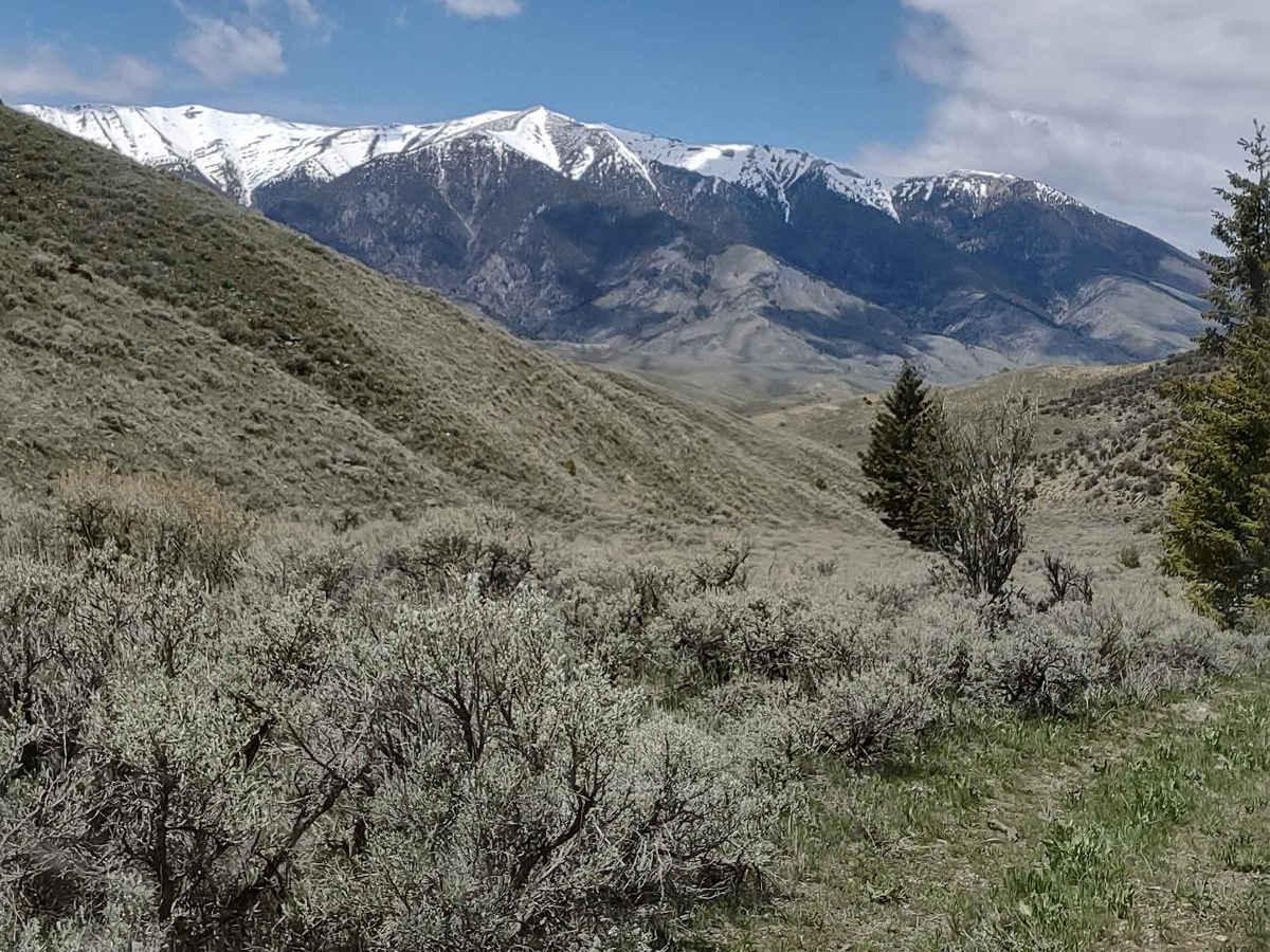
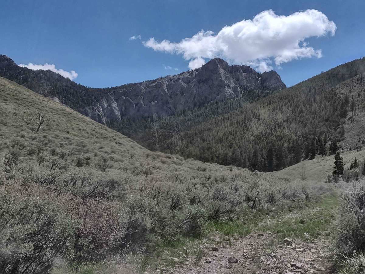
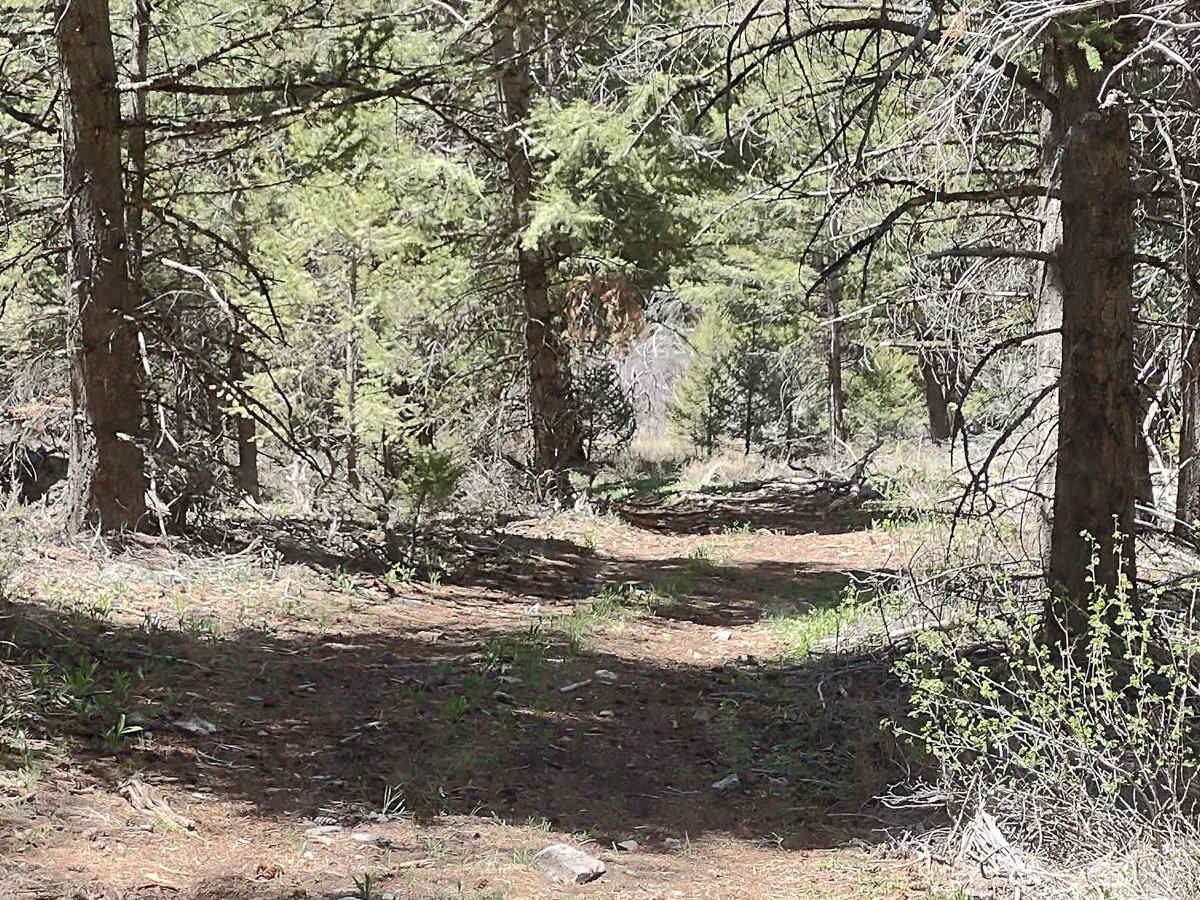
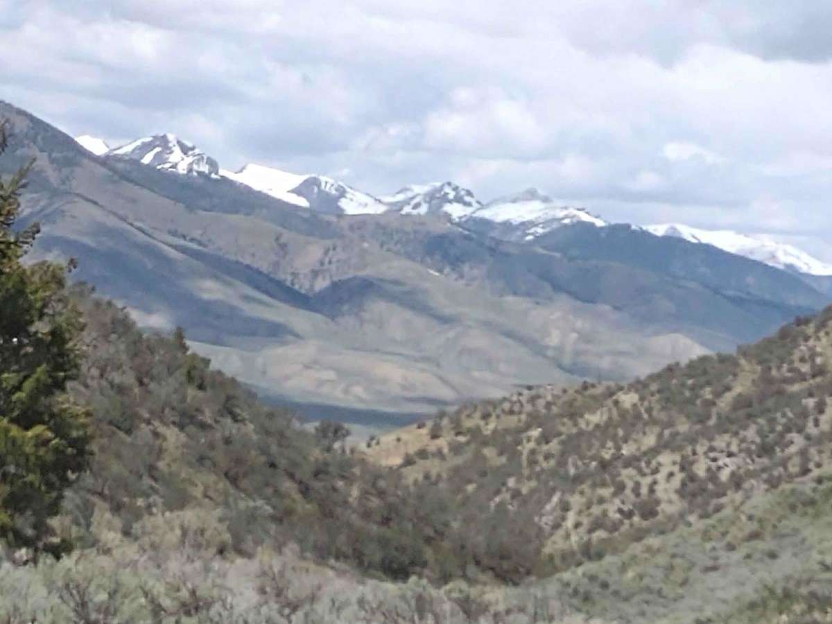
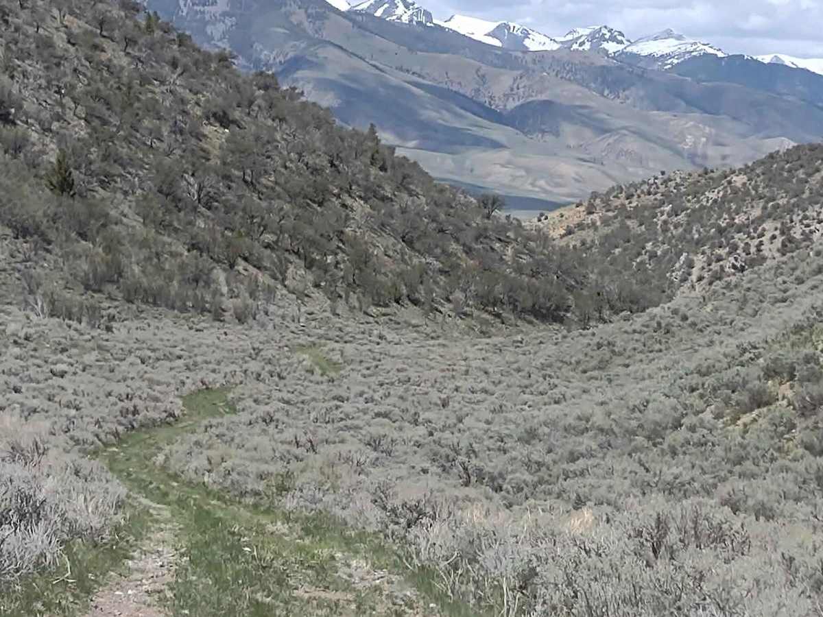
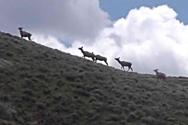
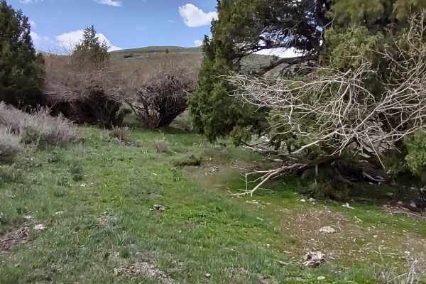
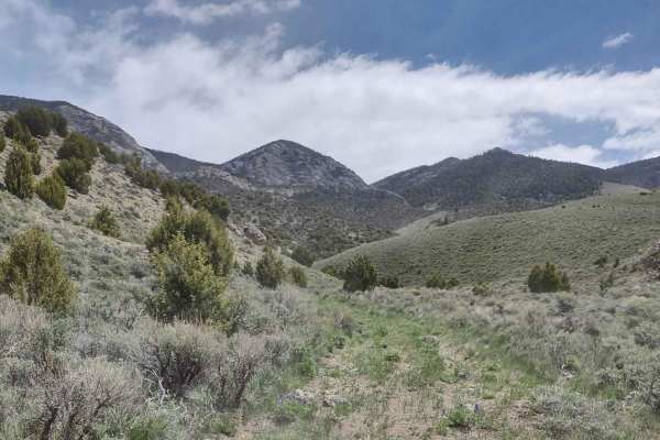
Horsethief Canyon - FS 566 offers offroaders an easy but scenic ride through the heart of Salmon-Challis National Forest, about 20 miles from Arco, Idaho, making it ideal for beginners and scenic explorers alike. The route spans roughly 4.8 miles and climbs to a peak elevation of 6,765 feet, offering panoramic views and high chances of spotting local wildlife like elk. The trail surface consists primarily of unpaved dirt, making it accessible to most stock high-clearance 4WD vehicles under normal conditions.
Because of its elevation, snow remains a common obstacle in forested areas and on northern slopes until late May, creating muddy conditions and potential washouts from spring runoff. The route is part of a larger network of trails, including the Arco Pass and Corral Canyon tracks, allowing drivers to string together a full-day round-trip adventure deep into the Lost River Range. Local history runs deep here, with the surrounding valley reflecting the legacy of Shoshone and Blackfoot nations, early fur trappers, and Mackay's mining boom.
History
The Shoshone and Blackfoot nations first inhabited this area. In the early 1800s, fur trappers working for the North West Company and Hudson's Bay Company led expeditions here. However, by 1832, over-trapping had so severely depleted the local beaver population that trapping operations were abandoned. The nearby Lost River Valley from Arco to Mackay contains a rich mining history, which is preserved and showcased at the museum in Mackay.