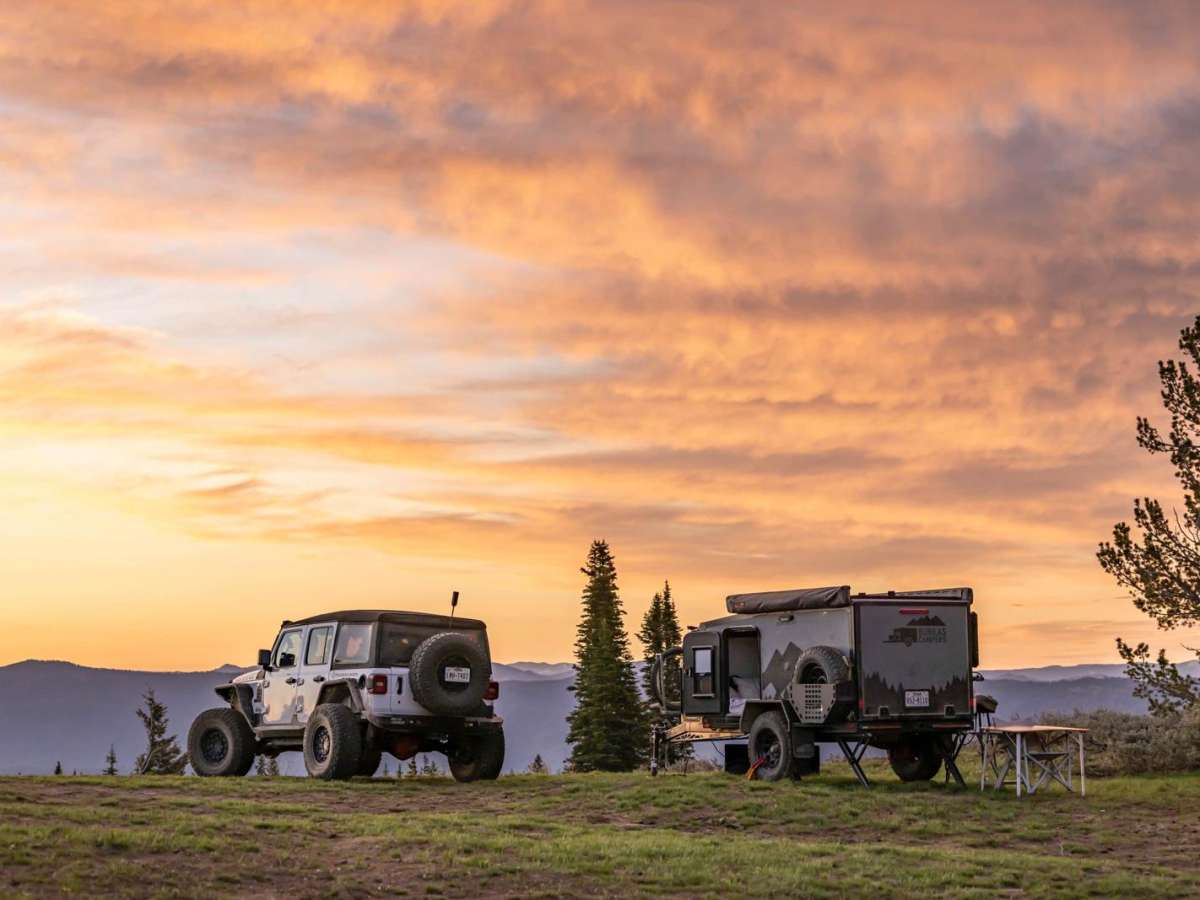
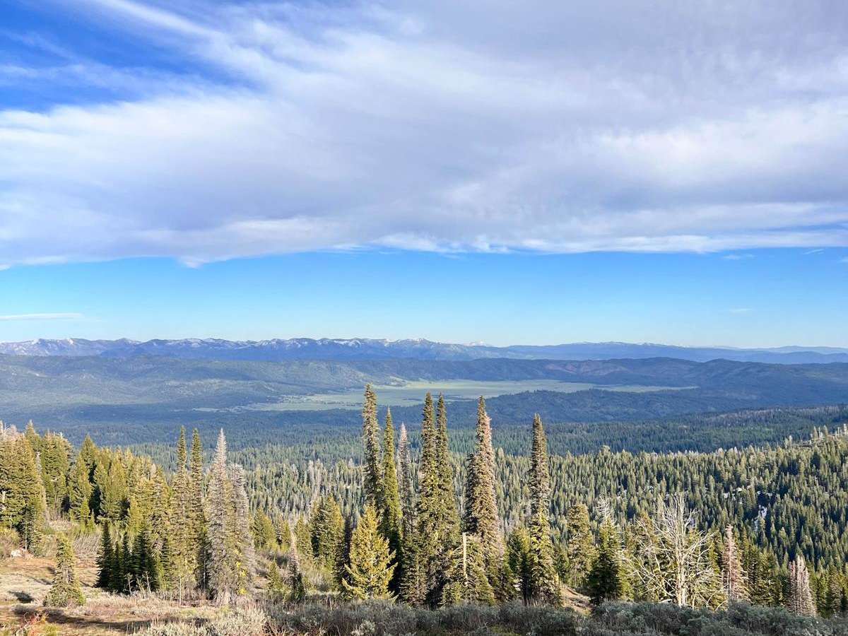
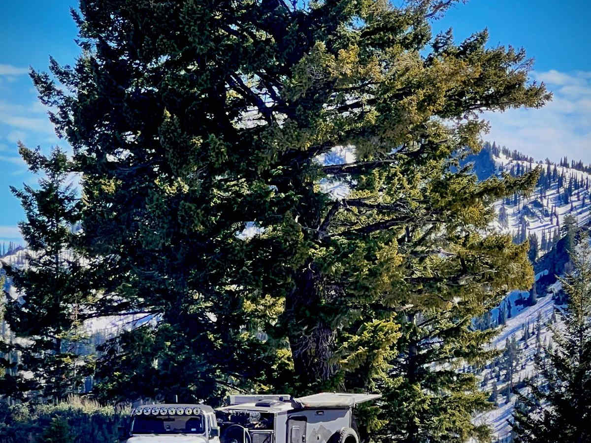
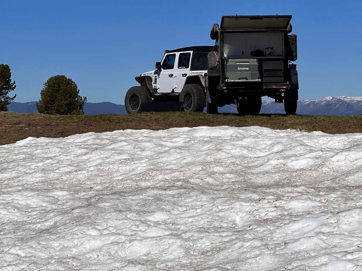
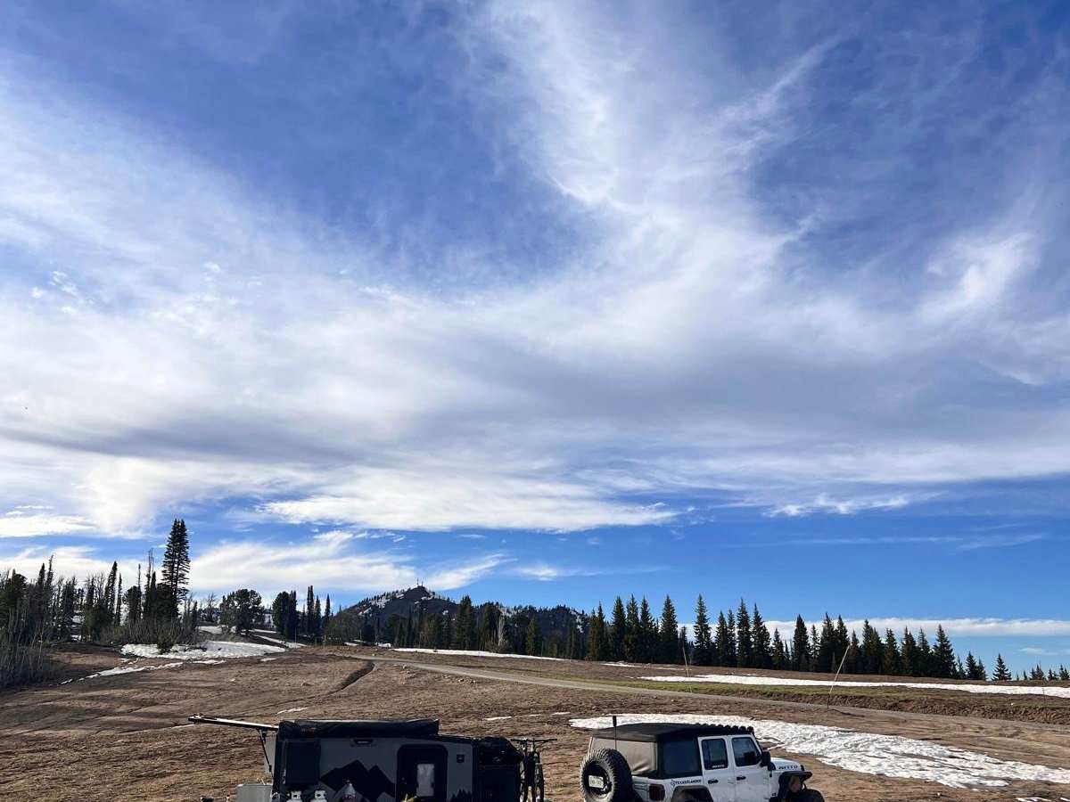
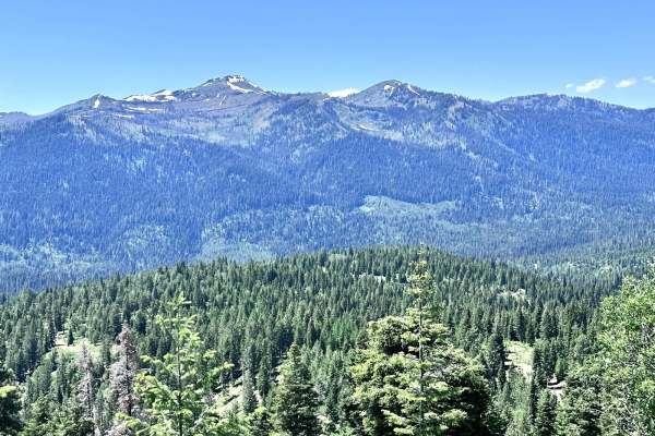
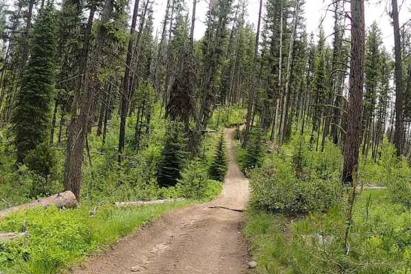
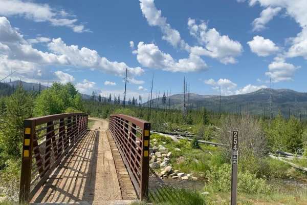
Trail Overview
Forest Service Road 446 is located in the Boise National Forest Cascade, ID. It is a mixed-use, out-and-back road, approximately 12.6 miles long with nearly 4,100 feet of elevation gain. With a starting elevation at nearly 4,100 feet above sea level, the well-maintained dirt road will wind its way through mountain meadows and thick forested areas before climbing above the treeline near 7,100 feet and will eventually end at just beyond a group of transmission towers at 8,100 feet. Though there are several signed mixed-use vehicle trails that intersect FR 446, this is the only road that provides access to the Blue Lake Trail Head. Being the only vehicular access point for Blue Lake, this forest road can see a moderate amount of traffic during peak season. Expect winter closures and unpredictable weather in the milder months. Expect private logging operations along the roadway. This portion of the National Forest allows for public hunting, so be sure to check with the local ranger district for information and restrictions. This section of the Boise National Forest should be considered primitive, offering up several "developed" campsites. There are no bathrooms or water sources. No permits are needed for camping. However, if fire restrictions are in place, a burn permit for campfires needs to be obtained from the local ranger office. This section of Boise National Forest and FR446 is a great starting point for day hikes, extended backpacking trips, mountain biking, and exploring by side-by-side or high-clearance vehicles. Much of FR446 has a moderate ATT signal.