Trail Overview
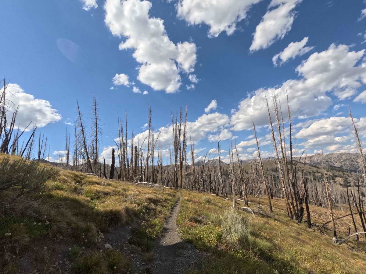
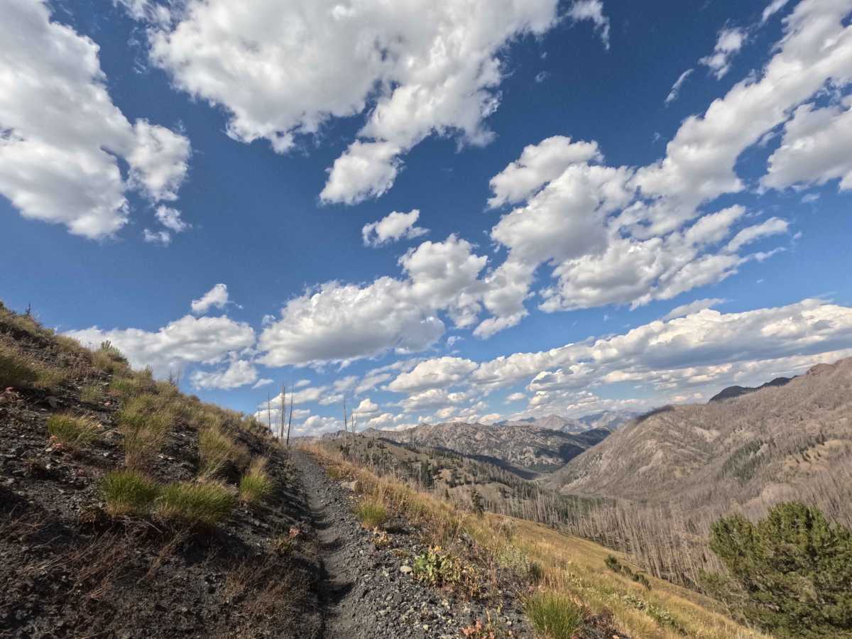
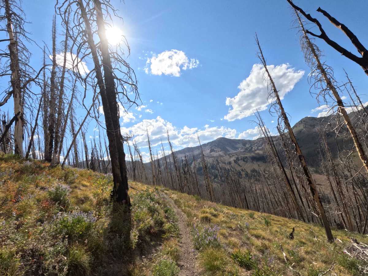
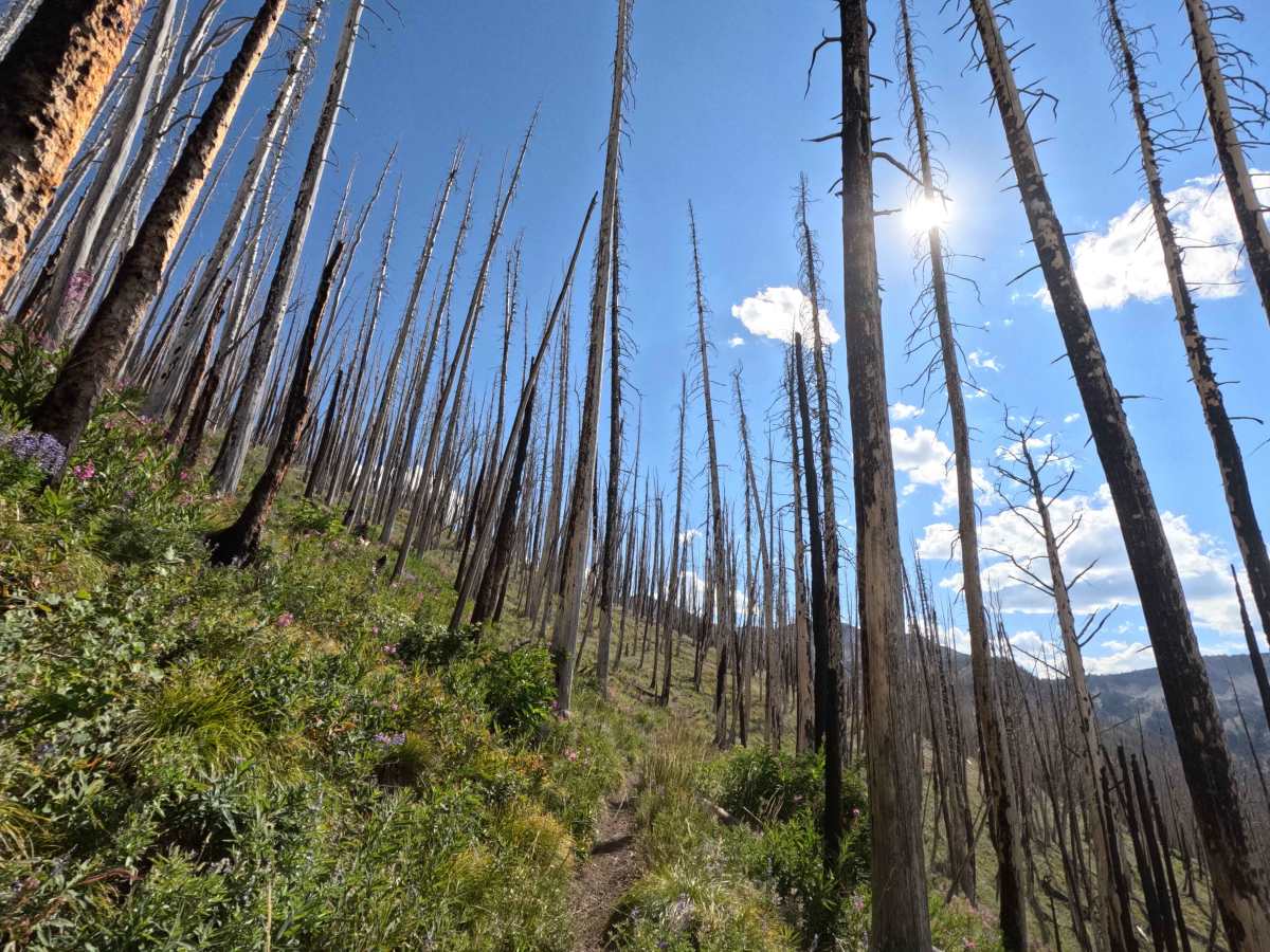
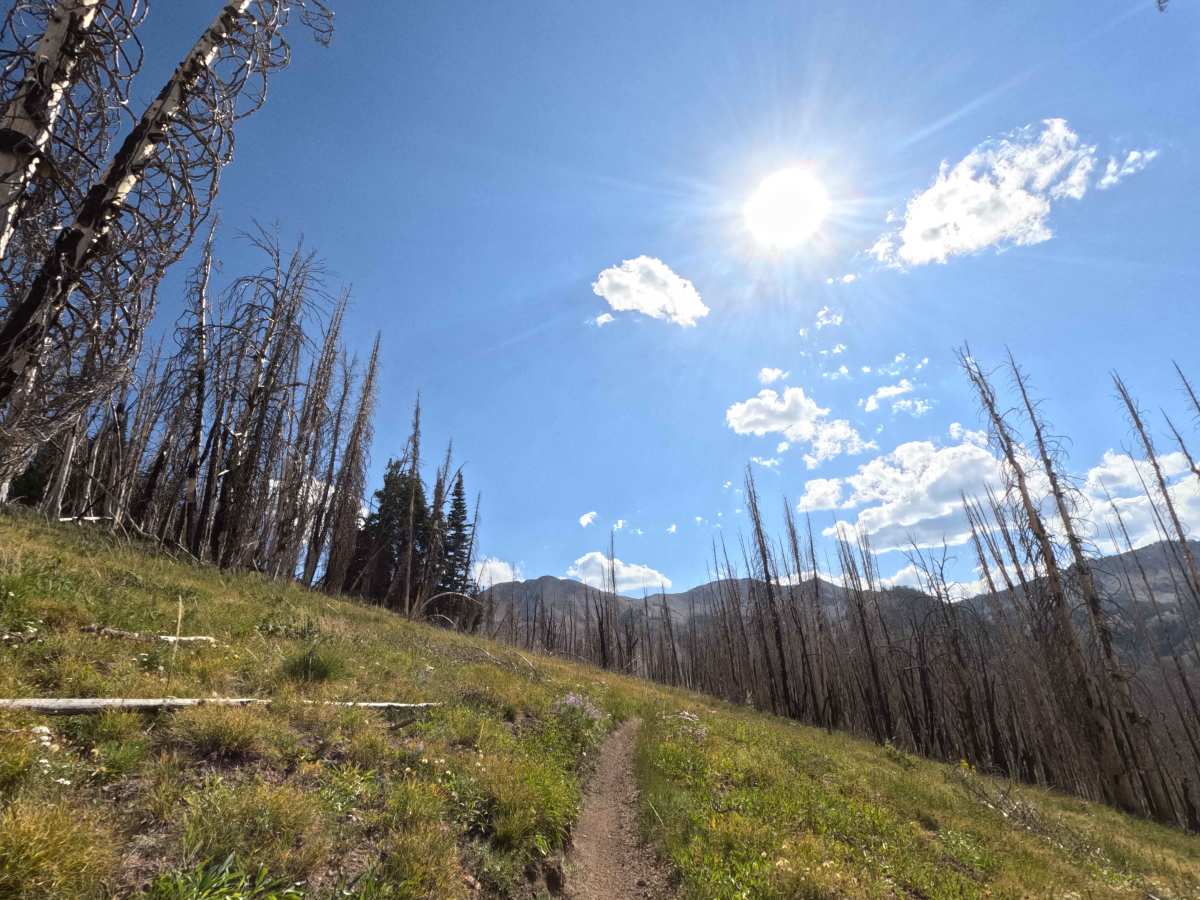
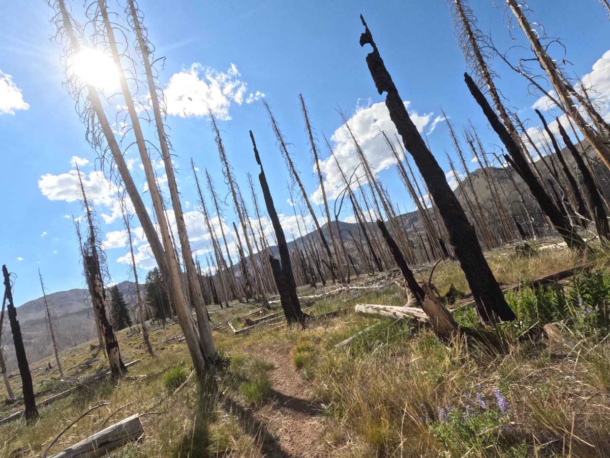
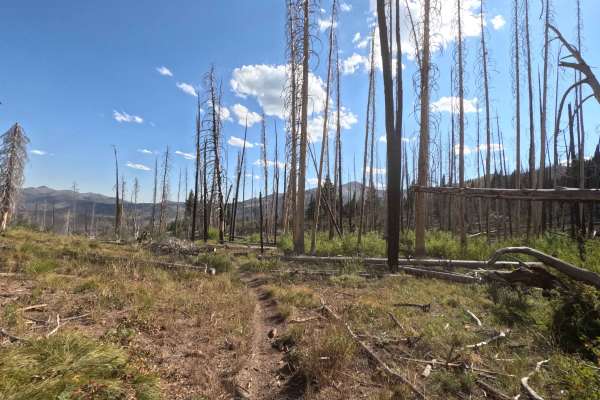
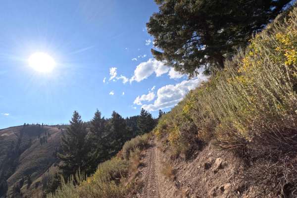
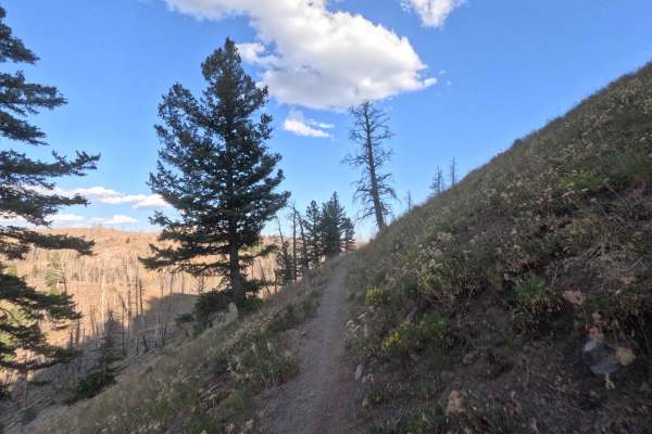
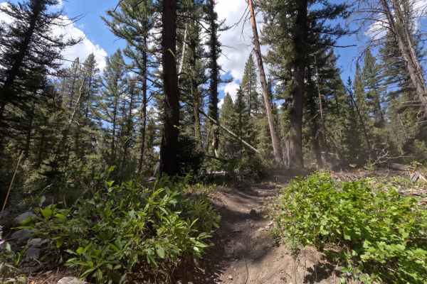
Castle Rock (7140) is a single track in the Smoky Mountains, located about 20 minutes west of Ketchum, Idaho. The trail runs 7.4 miles Southeast from the West end of the Osberg Ridgeline Trail to Forest Service Road 70227, climbing roughly 2,000 feet in total. It begins in a high mountain field before weaving between pockets of short grass and stands of old fire-damaged timber. From there, the route follows Castle Creek down a valley, mixing stretches of packed dirt with occasional patches of gravel. The Northern end features several large switchbacks that aren’t too difficult, while narrower side-hills segments across gravel add exposure. Fallen trees are common in the burn areas and can catch riders off guard. As the trail descends, it bounces between open meadows and charred forest before finishing at the Castle Rock formation near the road.