Beasley Knob Bitter Creek Loop - FS 93

Total Miles2.9
Technical Rating
5Moderate
Best TimeSpring, Summer, Fall
Trail TypeHigh-Clearance 4x4 Trail
Accessible By
Open Trail Map

Trail Overview

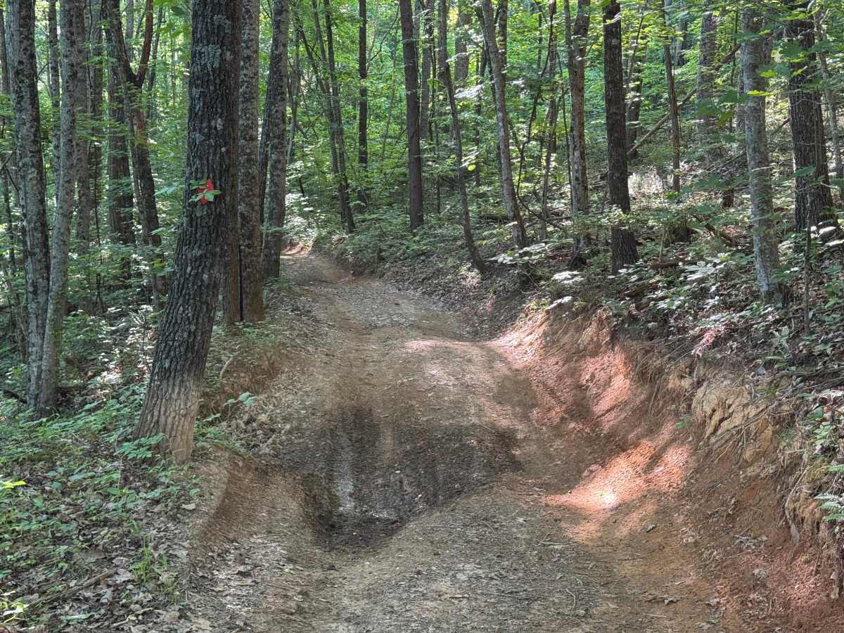
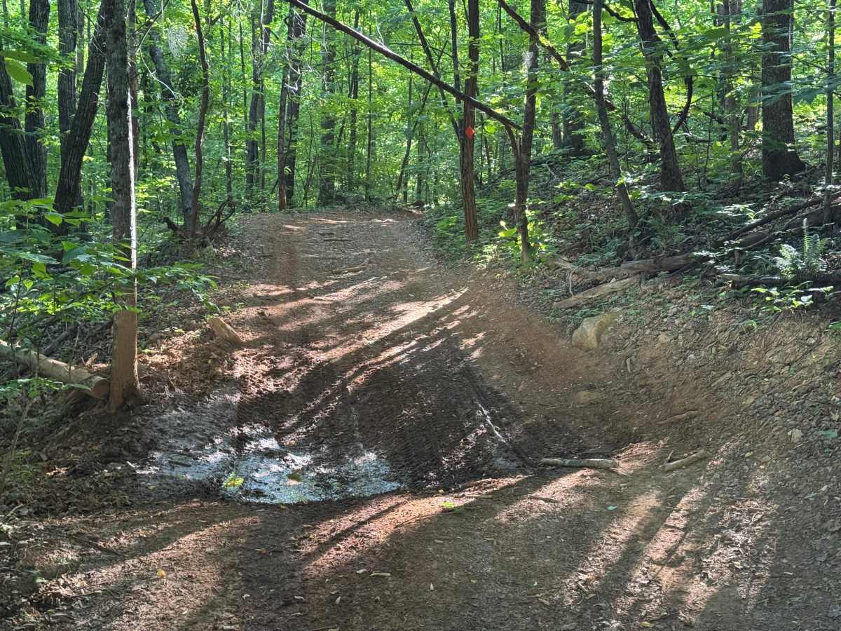
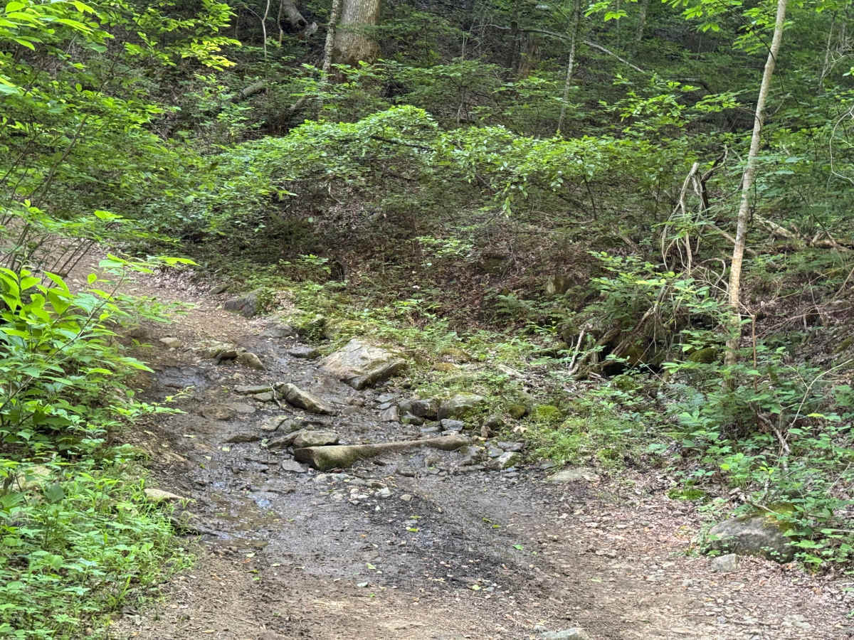
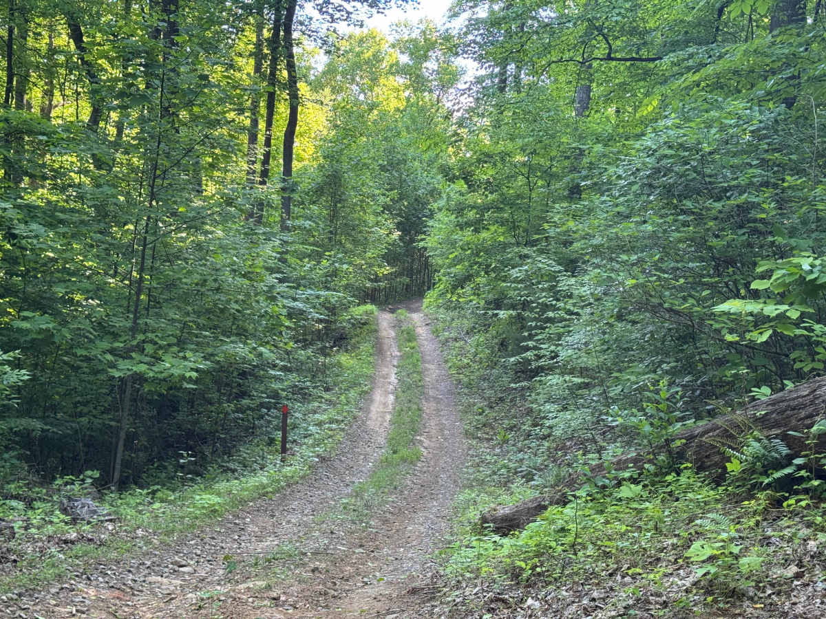
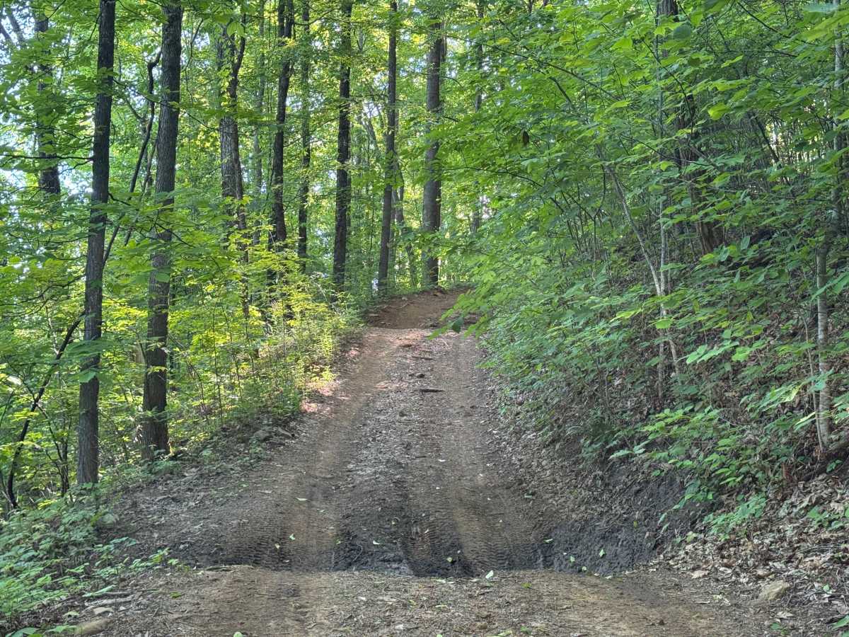
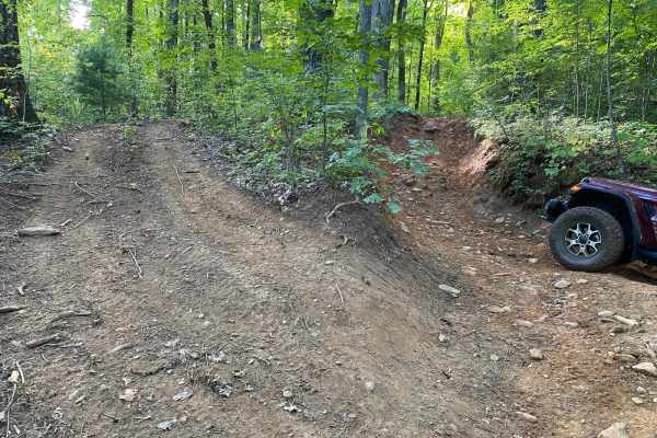
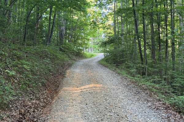
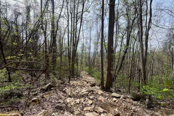
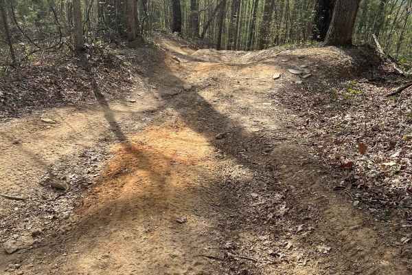
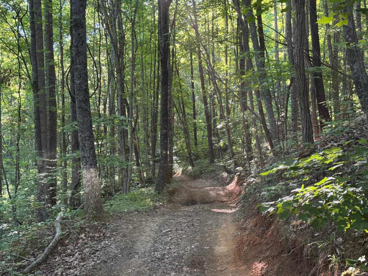
Beasley Knob Bitter Creek Loop (FR93) is a 2.9-mile loop route that travels through heavily forested terrain on a surface consisting of rock, dirt, and red clay. The trail is a single lane with few places to pass and is lightly maintained, creating a more rugged driving experience than many nearby forest roads. With a moderate difficulty rating, conditions can vary considerably depending on recent weather and trail use. Large mudholes and deep rutted sections are encountered along portions of the route and contribute significantly to the trail’s moderate rating. The trail is designated for OHV use and is identified as an OHV-type trail, where trail damage can be expected. Navigation requires following the counterclockwise route shown on official maps, and portions of the trail may be temporarily closed during wet weather when conditions deteriorate. Seasonal access is generally available from April 1 through January 1, and travelers should be prepared for changing trail conditions throughout the year.

Photos of Beasley Knob Bitter Creek Loop - FS 93

Difficulty

One large rock climb obstacle is uphill in a counterclockwise direction. Stretches of deep ruts in red clay uphill in a clockwise direction. Choose wisely. Many off-camber sections of the shelf road. Recommend oversize tires and lift. Winch and recovery gear recommended.

Technical Rating

5

Beasley Knob Bitter Creek Loop - FS 93 Trail can be accessed by the following ride types:

  • Single Track
  • 50 Inch
  • 60 Inch
  • High Clearance

Beasley Knob Bitter Creek Loop - FS 93 Map

The onX Offroad Difference

onX Offroad combines trail photos, descriptions, difficulty ratings, width restrictions, seasonality, and more in a user-friendly interface. Available on all devices, with offline access and full compatibility with CarPlay and Android Auto. Discover what you're missing today!

Open Trail Map