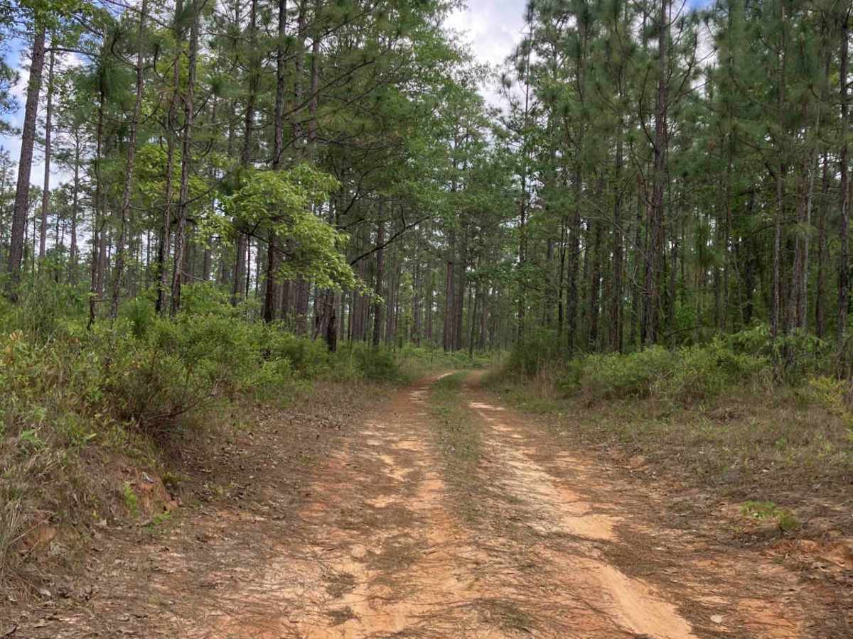
Trail Overview
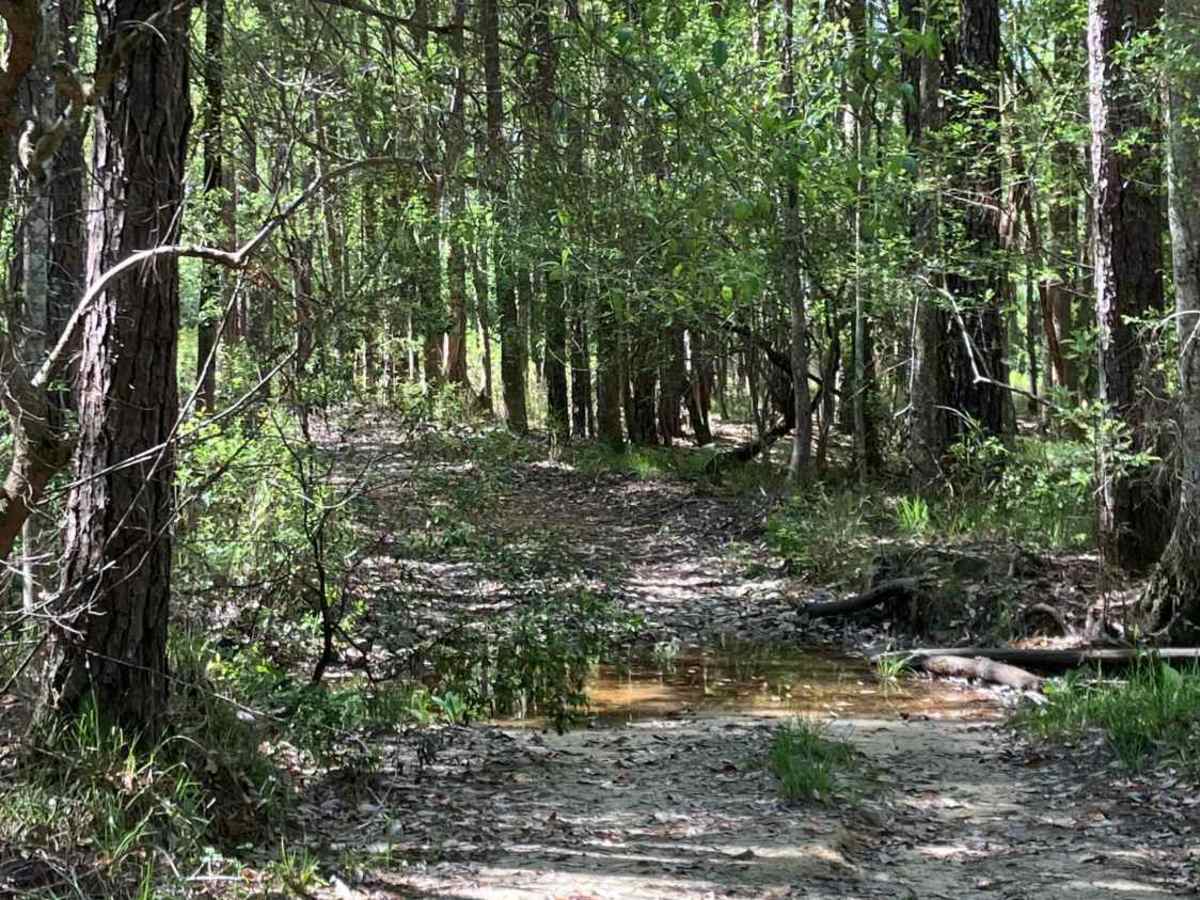
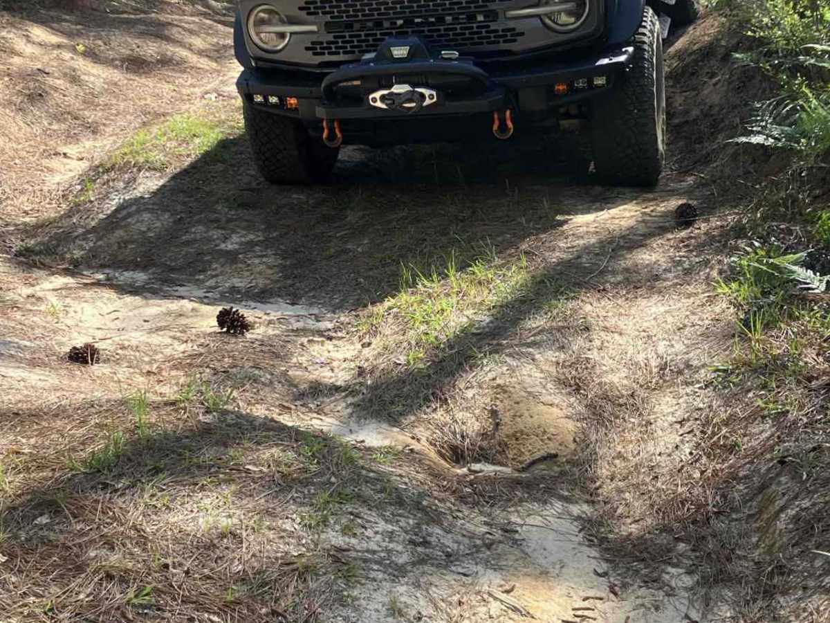
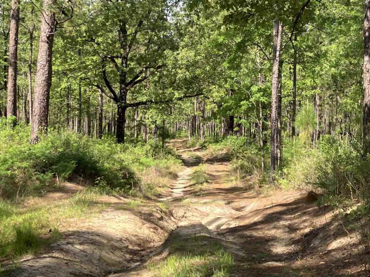
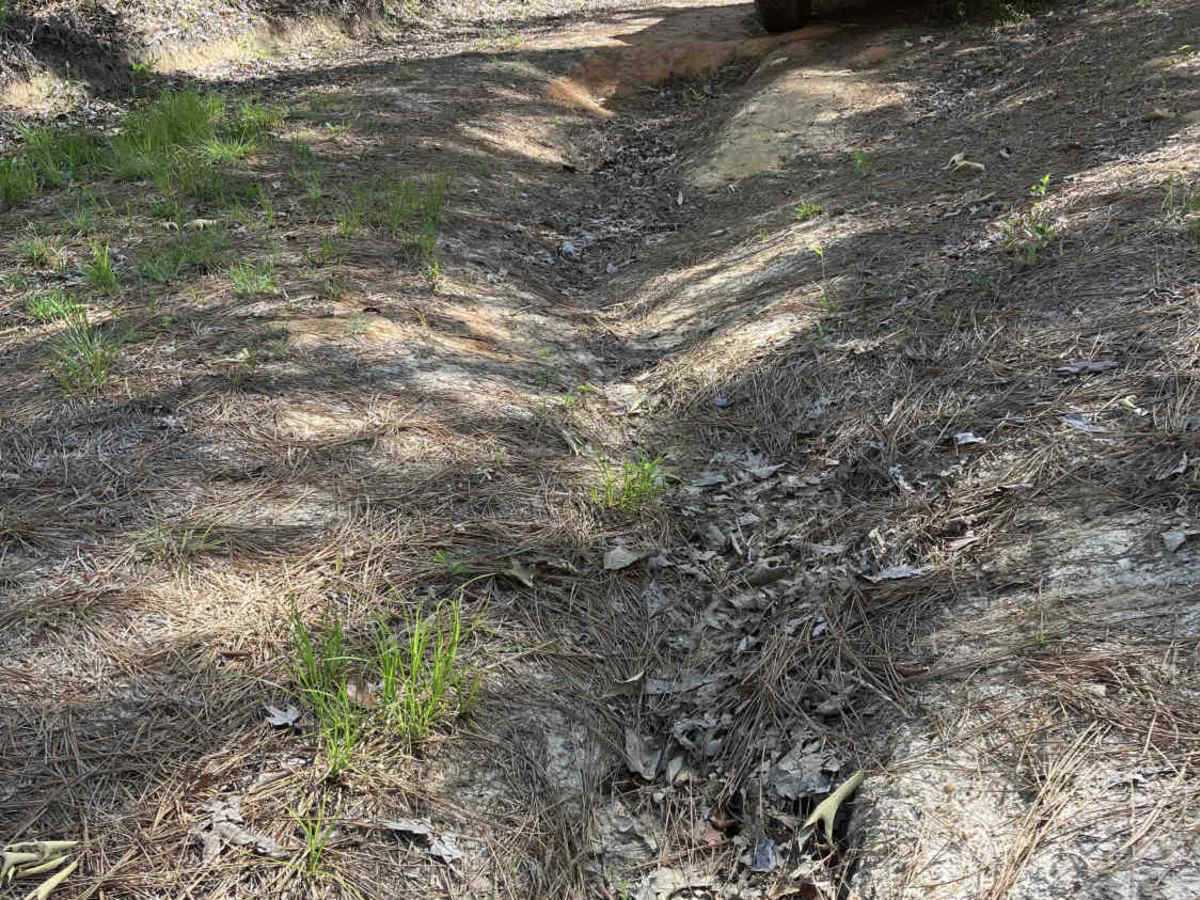
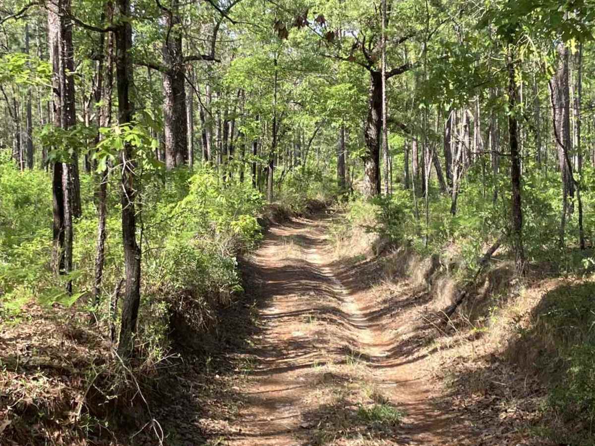
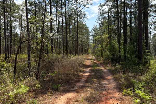
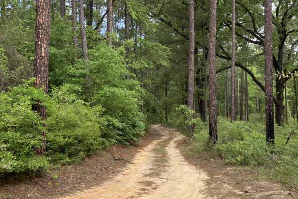
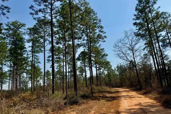
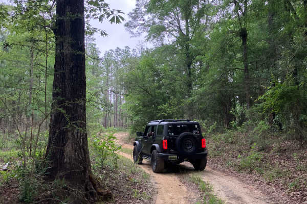
S39 is a moderately difficult trail featuring deep ruts, sandy sections, and a seasonal water crossing. On the east side of the creek, the ruts can be especially challenging, requiring a high-clearance 4x4 with a wheelbase capable of handling drops and ruts up to 30 inches. Careful tire placement is essential, and using a spotter is recommended in more technical sections. The water crossing is typically manageable in dry conditions, but can exceed 3 feet in depth after heavy rain, significantly increasing difficulty. Portions of the trail are narrow with overhanging brush, making paint damage (“pinstriping”) likely—particularly for vehicles with painted roofs or sides. A high-clearance 4WD vehicle is strongly recommended. This trail is best suited for drivers who are comfortable navigating sand and adapting to changing conditions.
Difficulty
Deep, pronounced ruts make S39 a moderately challenging route. The water crossing is generally manageable during the fall and winter when conditions are dry, but it can exceed 3 feet during the rainy season. Use caution after heavy rains, as the trail may become impassable—especially if you are caught between the creek and the steep, heavily rutted hill.