Trail Overview
This trail is located within the Osceola National Forest and the Osceola Wildlife Management Area (WMA). The trail is open to registered highway legal motor vehicles, all-terrain vehicles (ATV’s), off-highway vehicles (OHV’s), side-by-sides (SxS), and unlicensed or unregistered motorcycles. Vehicle access is only permitted on named and numbered trails. County and State roads/right of ways may prohibit or limit access to only highway-legal vehicles.
There are no off-road vehicle (ORV) permits required, making Osceola NF the only NF in the state that does not require an ORV permit. Access to trails is year-round, unless otherwise posted.
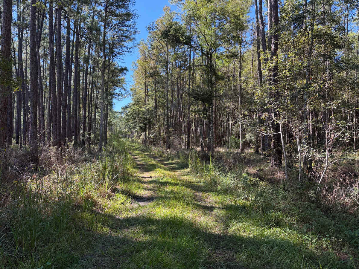
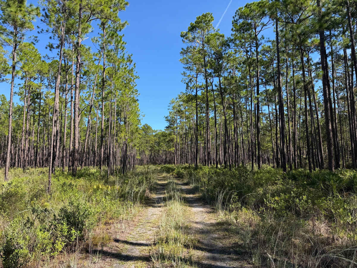
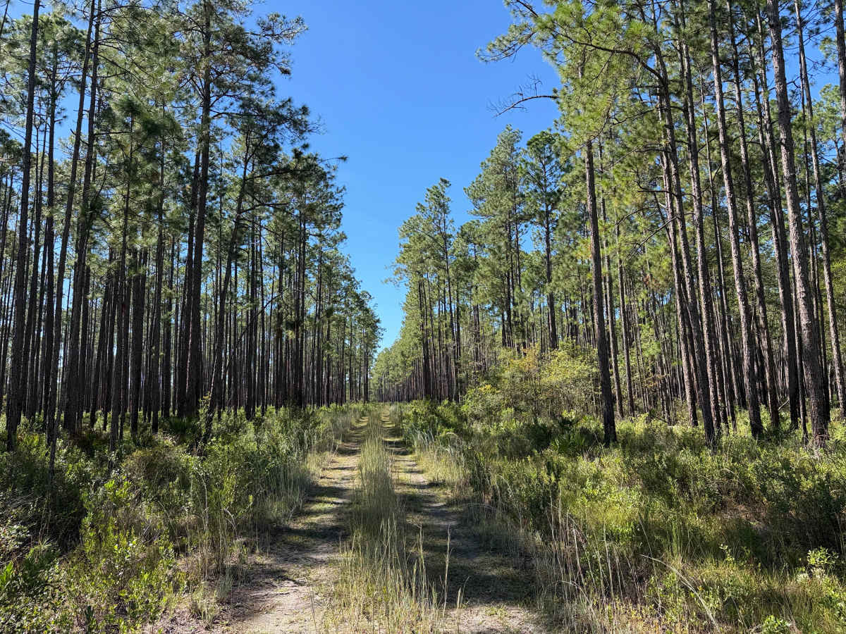
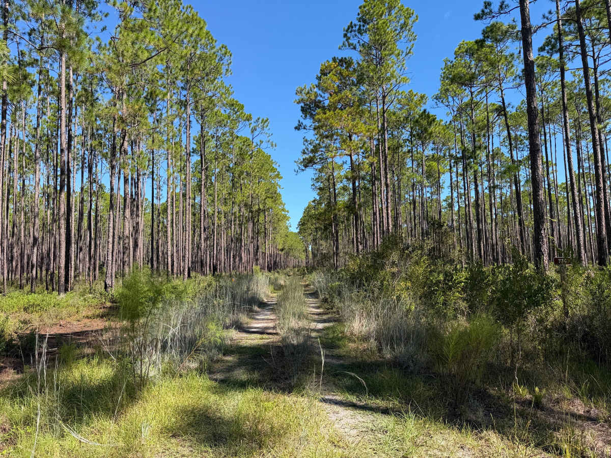
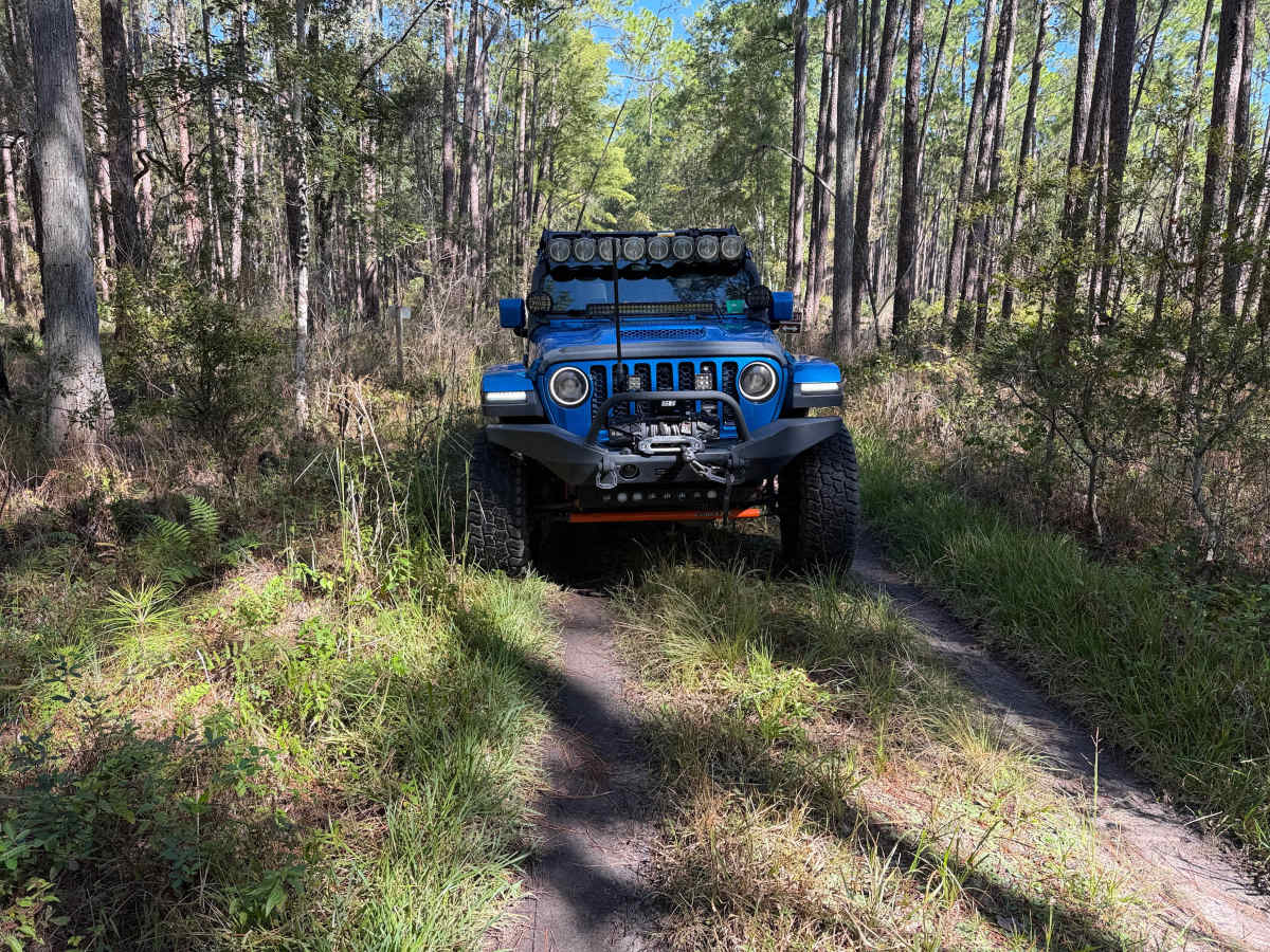
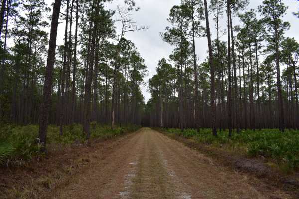
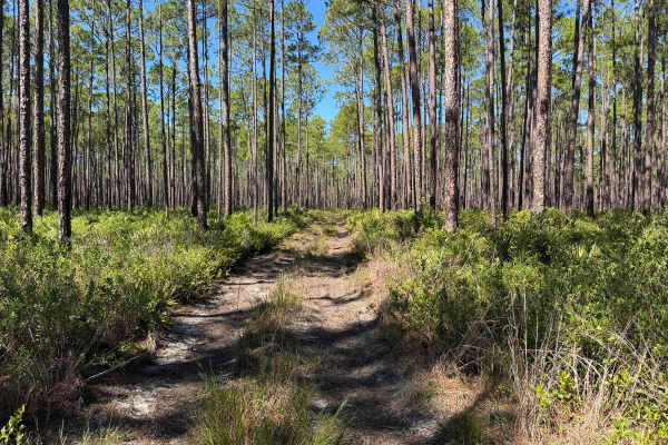
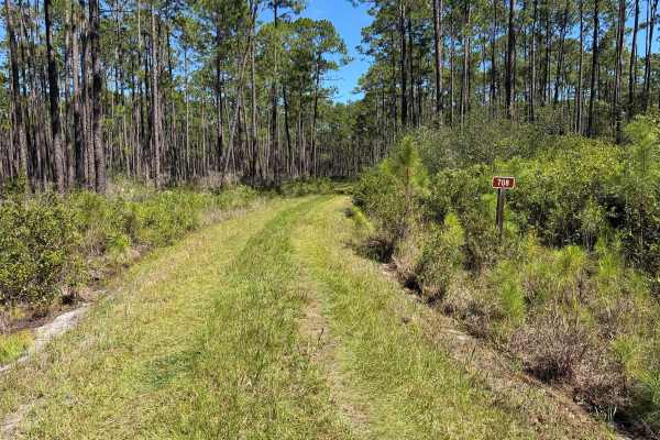
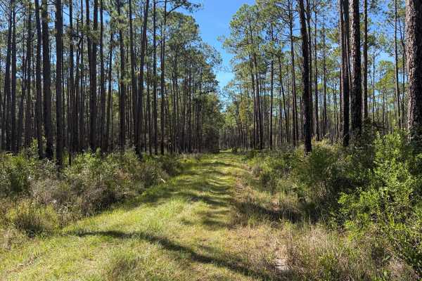
The trail is accessed via County Road 231 (CR 231) or one of the many internal forest connector trails. This is an uneven, unimproved, unmaintained trail. The trail width is mostly single-vehicle-wide, with shoulder areas for pull-offs for passing. Expect wheel ruts, whoops, and cabin roll as the terrain transitions. No real areas of deep mud or water crossings along the trail. The trail would be safe for most 2WD pickup trucks. If electing to access via one of the connector trails, a high-clearance 4WD is recommended, as some of the trails leading to this one may have conditions and obstacles that are more difficult to navigate in a 2WD or low-clearance vehicle.
The Department of Forestry (DNF) cautions on their website and published maps that the designation of a road or trail should not be interpreted as the trail is passable, actively maintained, or safe for travel. The same should be considered if it is shown as improved. Listed as improved does not necessitate that the trail is regularly maintained.
The remoteness of this area significantly limits cellular coverage. Recommend having backup navigation and communication means. Having maps offline is a must. Also would recommend paper maps or having backup GPS. Additionally with the remoteness, ensure to be equipped for self-recovery or off-road tire/vehicle repairs. There are numerous locations on trails leading out to this trail where there is evidence of vehicles getting unexpectedly trapped in sand or mud.
Difficulty
Uneven, rutted dirt trail with potential for loose debris (e.g., rock, tree branches, washes, etc.). Water crossings less than 12 inches, areas of loose sand or sandy washes, potential for mudholes or obstacles up to 12 inches. Road has ledges and steep grades, and is mainly single-vehicle wide, with areas to pass.