Trail Overview
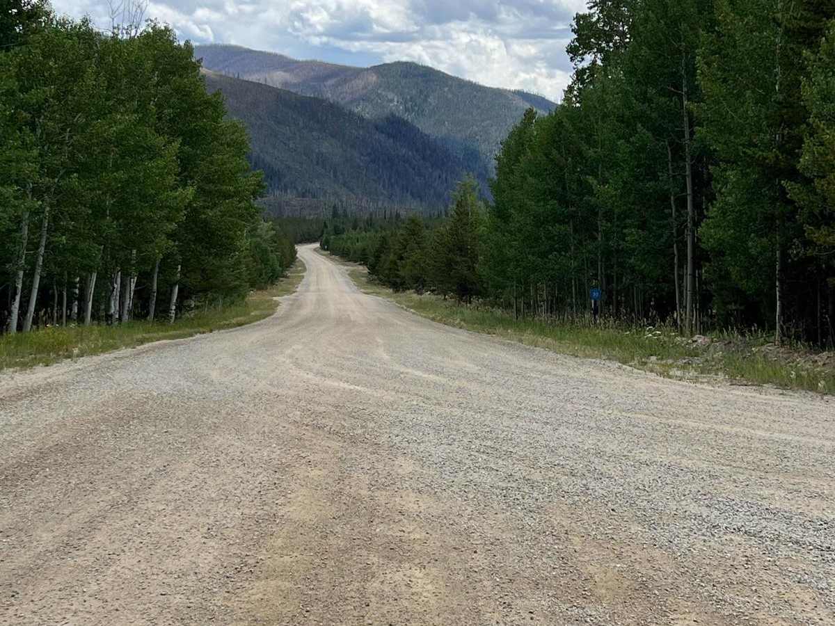
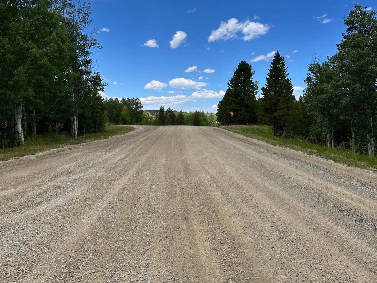
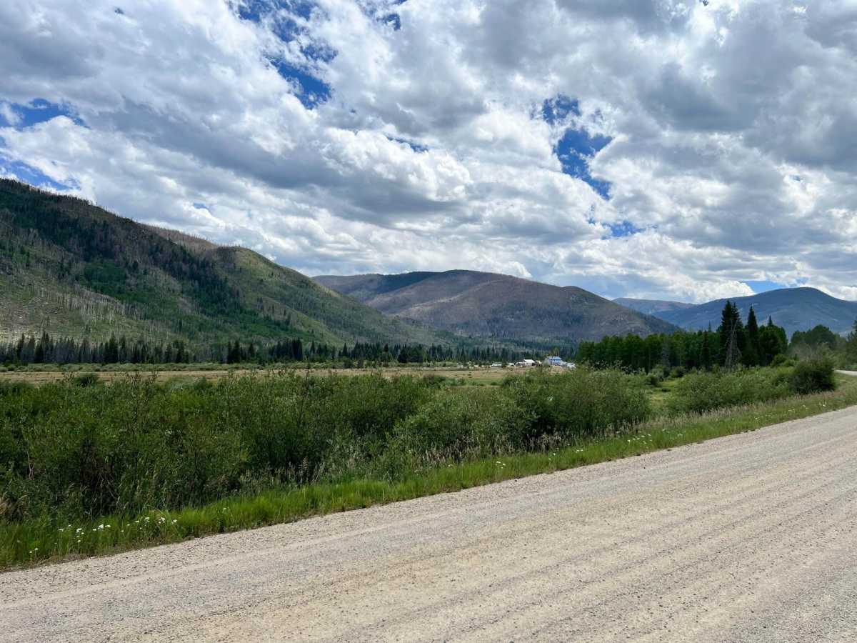
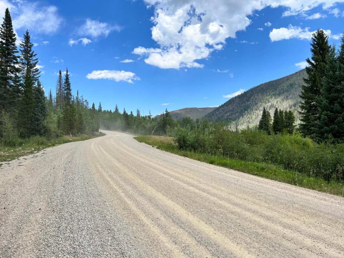
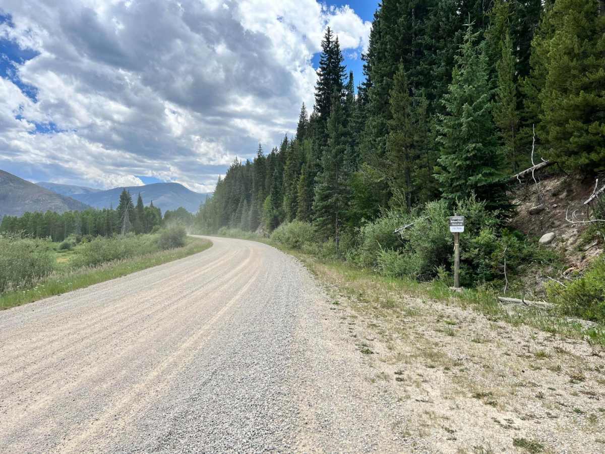
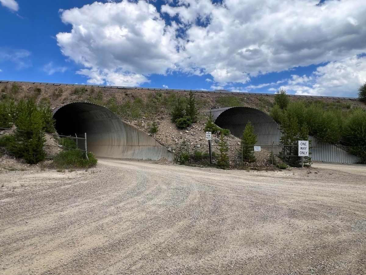
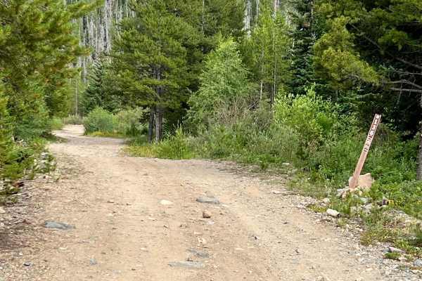
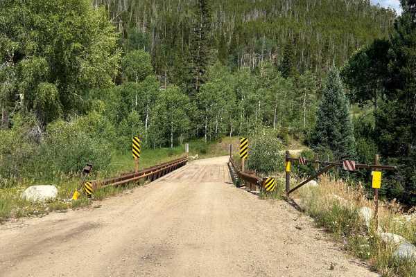
Williams Fork Road (County Road 30 / Forest Service Road 138) is a wide, well-graded gravel road that serves as a scenic and accessible route through a mix of public and private lands in Grand County. The road begins off County Road 3 and travels south through rolling forested terrain and open views of the Williams Fork Mountains. Though mostly two lanes, the road sees occasional industrial traffic tied to the nearby Henderson Mill, and signage marks transitions between public and private stretches. Along the route, travelers will find access to the Ute Trailhead, as well as a turnoff for FS 141.1, which leads to the remote Kinney Creek Trailhead. The road ends near the base of the Henderson Mill conveyor system, where it narrows to a single lane, one-way tunnel. At the end, drivers can turn east to reach South Fork and Sugarloaf Campgrounds, or west to begin the South Fork Road trail (FS 142.1).
History
This corridor crosses land historically used by the Ute people before becoming a key logging and mining access route in the 20th century. The Henderson Mill, still active today, was built in the 1970s and processes molybdenum from the Climax Mine. The nearby Ute Trail traces ancient tribal travel routes.