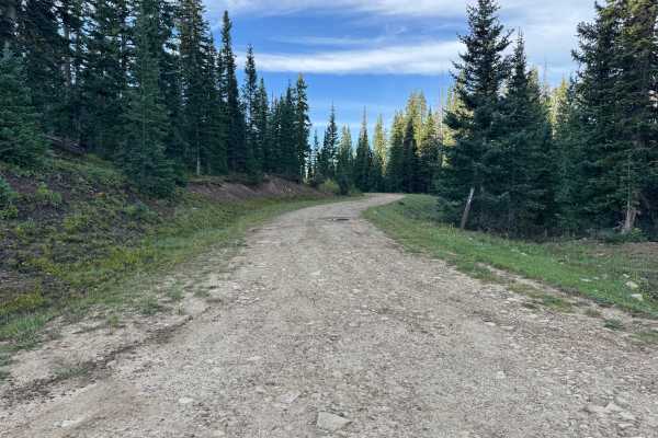
Trail Overview
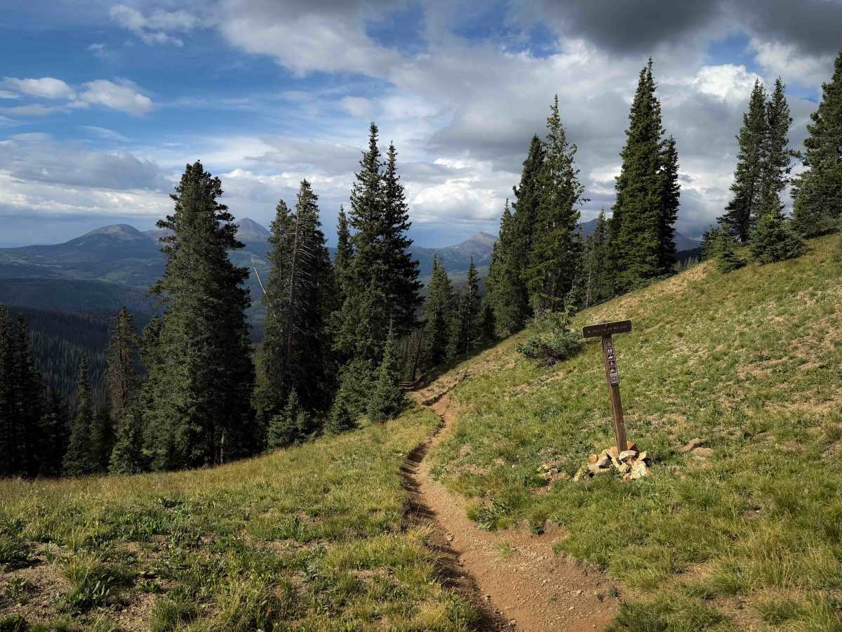
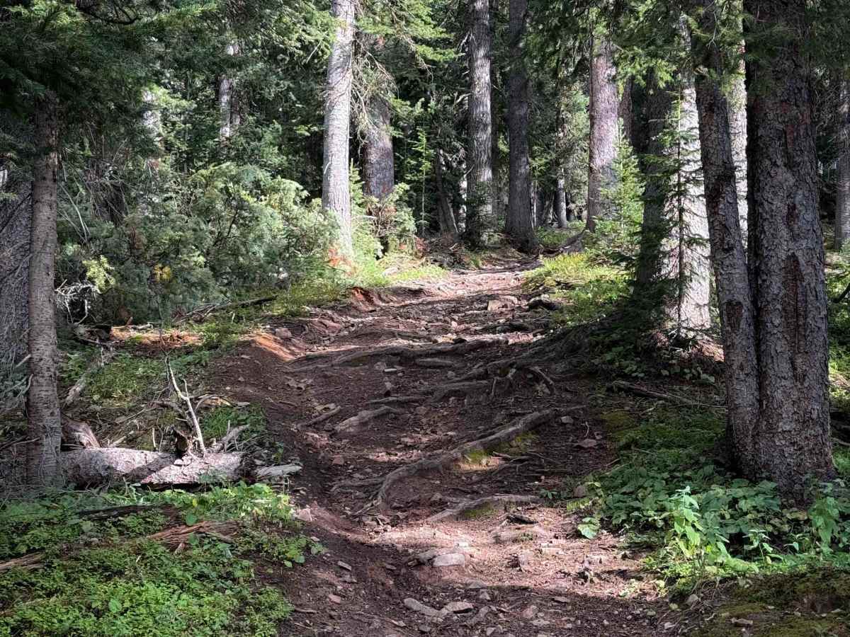
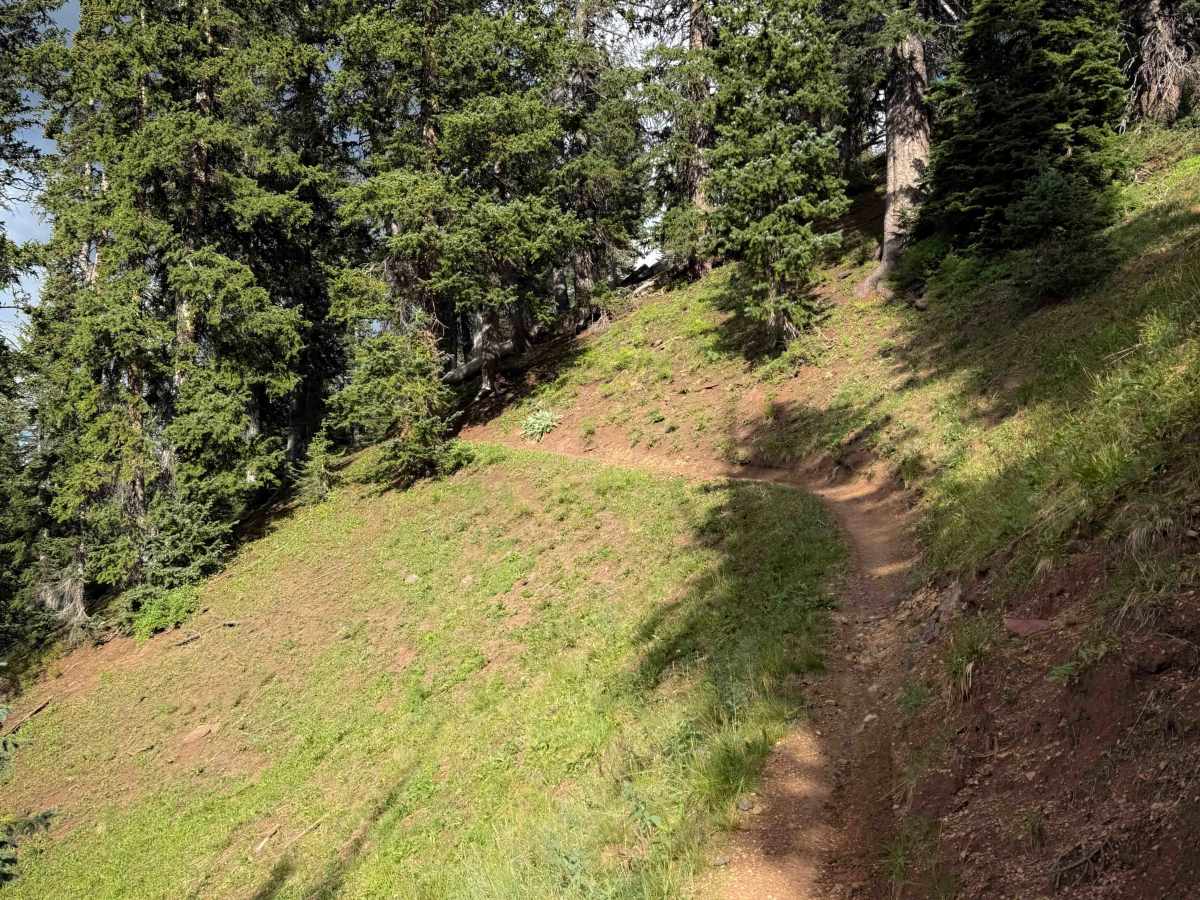
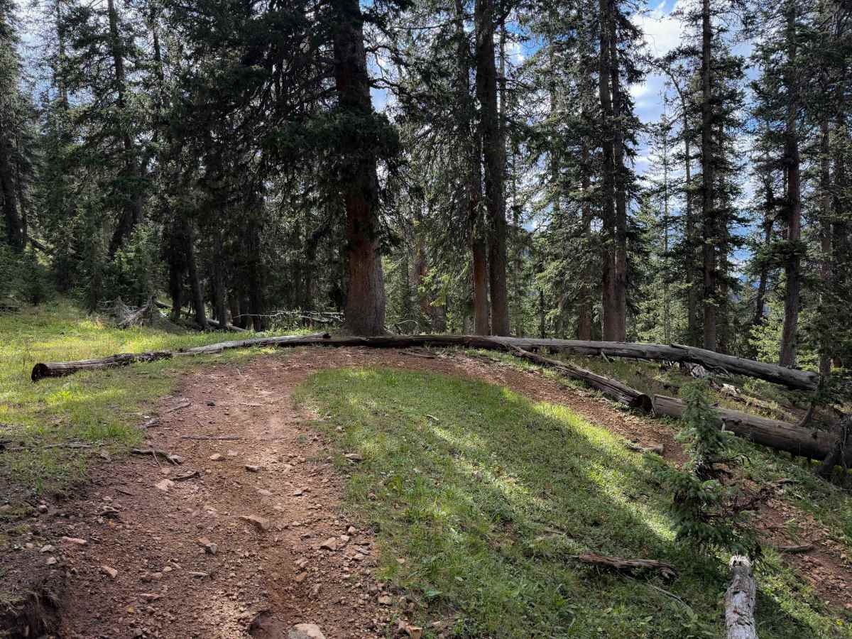
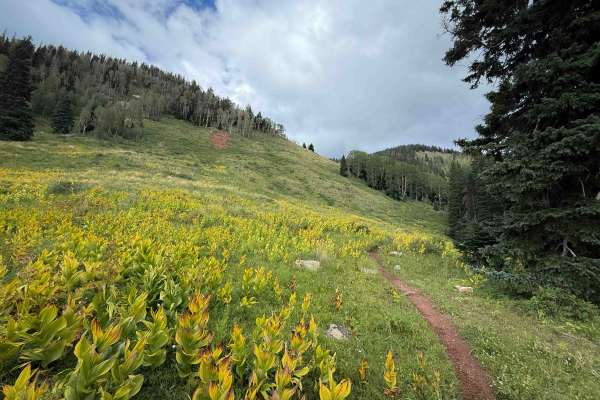
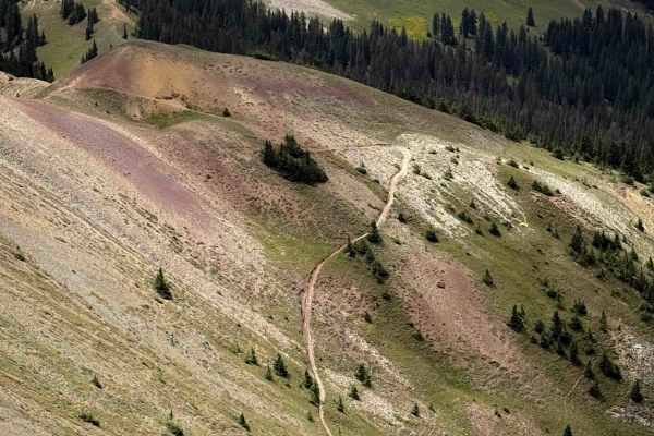
West Fall Creek Trail is a 1.8-mile-long intermediate single-track through the San Juan National Forest near Rico, Colorado. This provides an easier and shorter way to access the trail system. From the North Calico Trailhead, riders can follow Eagle Creek Road to the start of West Fall Creek Trail, bypassing approximately 6 miles of the more challenging Calico North Trail. It ascends 1,300 feet from north to south over the 1.8 miles. The north end is easier, riding through gradual forested sections that are wider, but with lots of roots that are like small ledges. There are lots of small rollers and water bars that make it fun and flowy. As it goes south, it gets steeper and more difficult, climbing straight up through the forest, followed by several switchbacks that range from tighter and steeper to wider and easier. The trail ends at the junction with Calico North Trail on a ridgeline, with far views of the surrounding mountains. The trail is open to motorized use from 6/1 to 10/31.
Difficulty
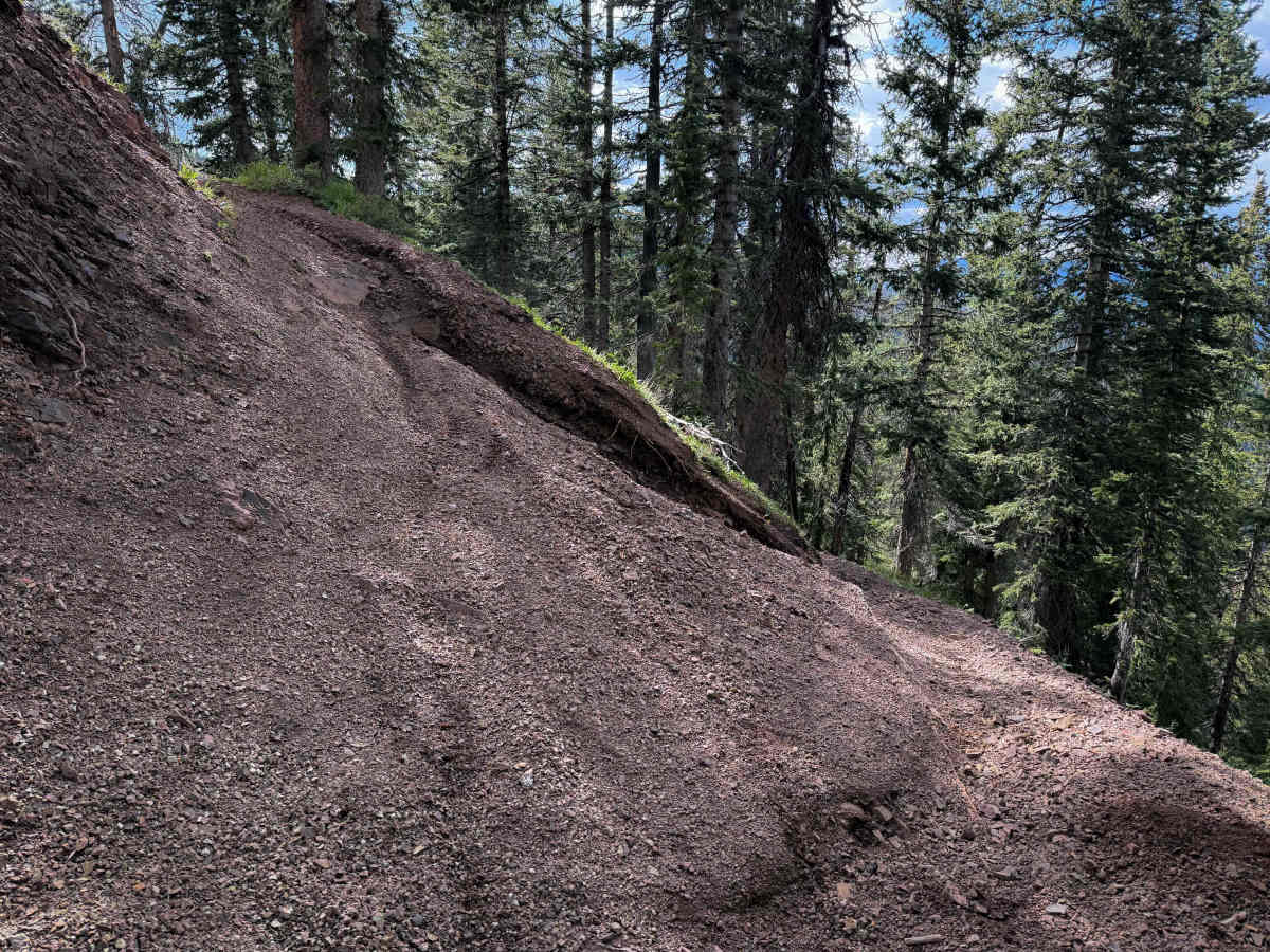
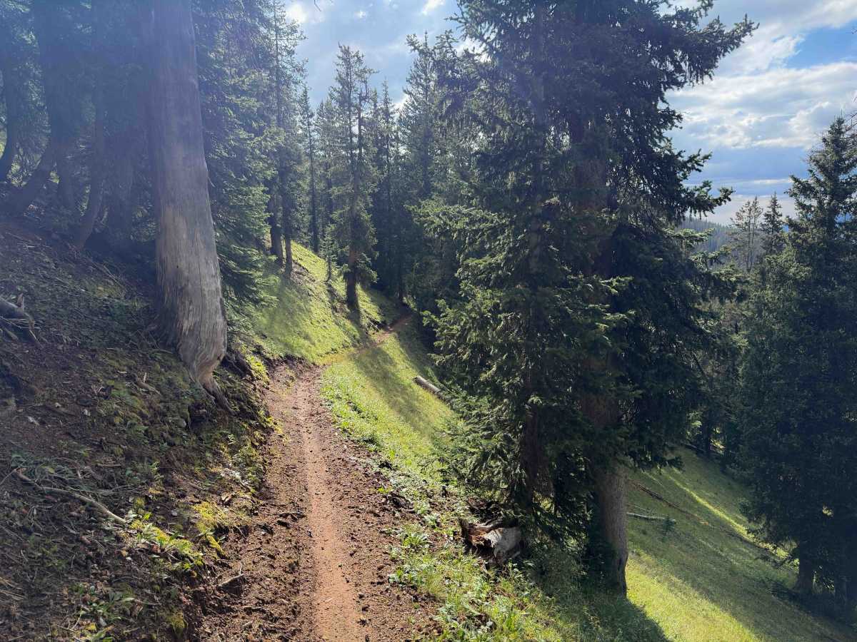
This is an intermediate trail due to frequent root obstacles, steep climbs, and tight switchbacks. There are narrow side-hilling segments as well, where the trail is shelfy. Riders need to be prepared for high-elevation riding where weather conditions can change rapidly.