Trail Overview
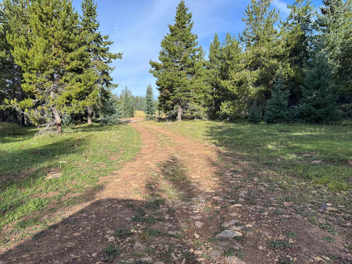
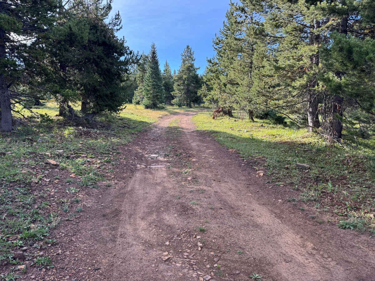
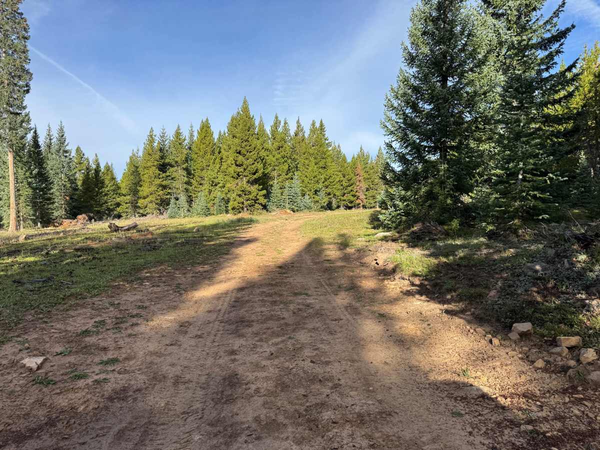
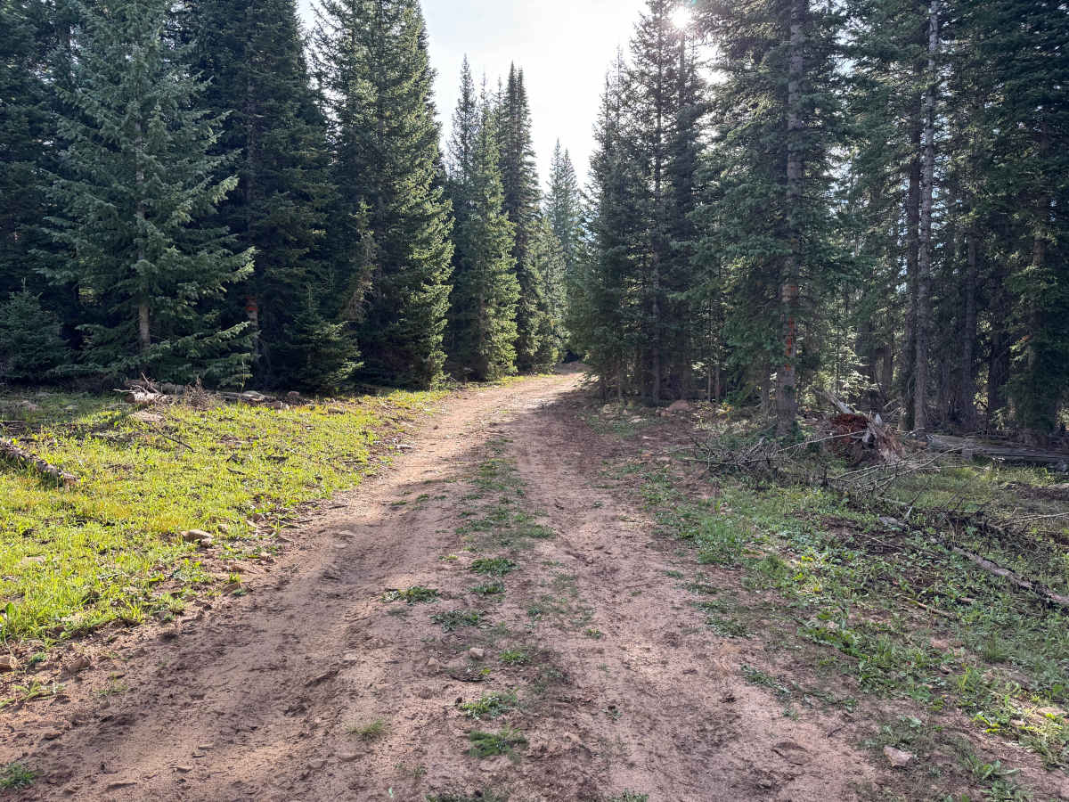
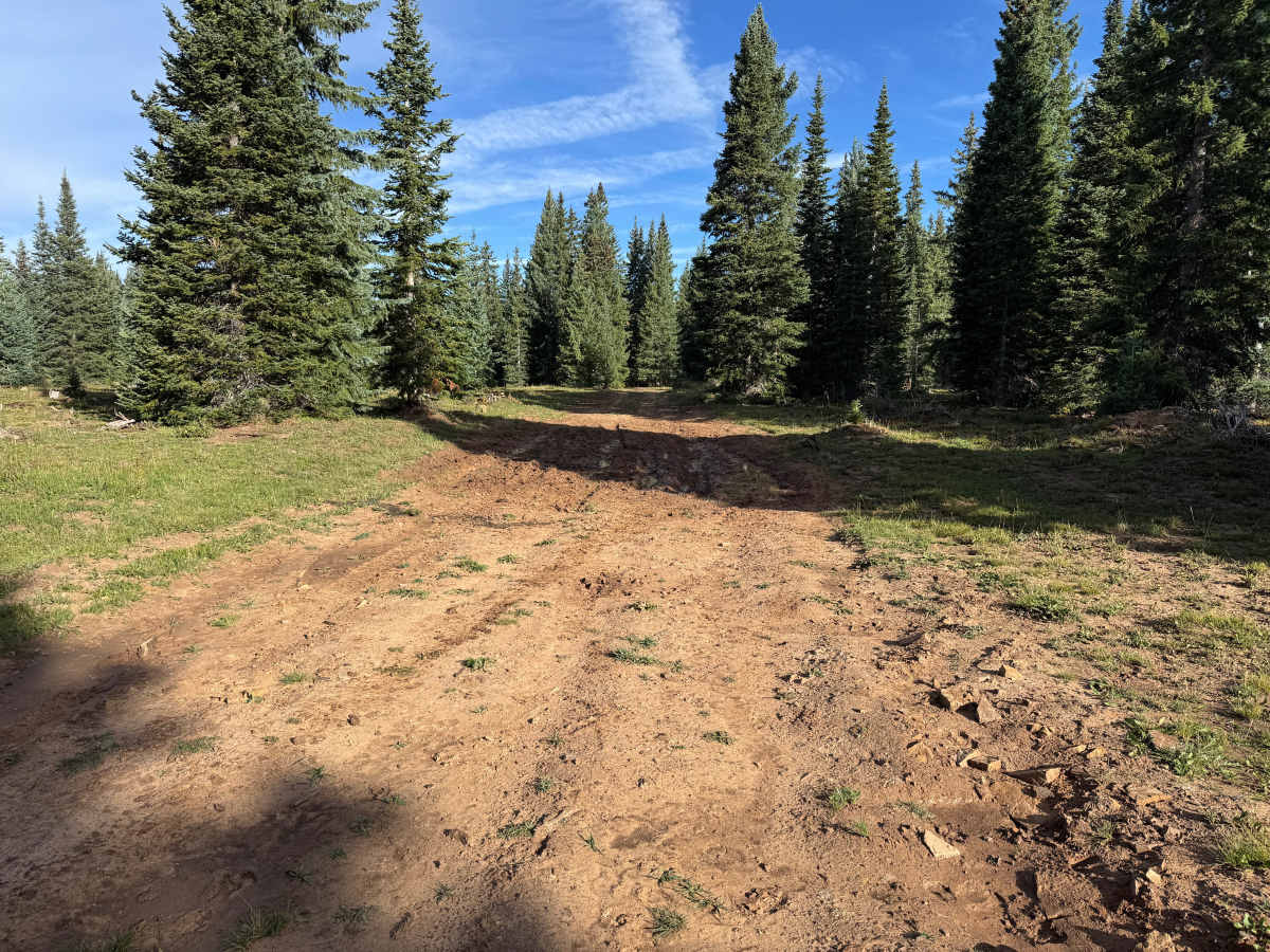
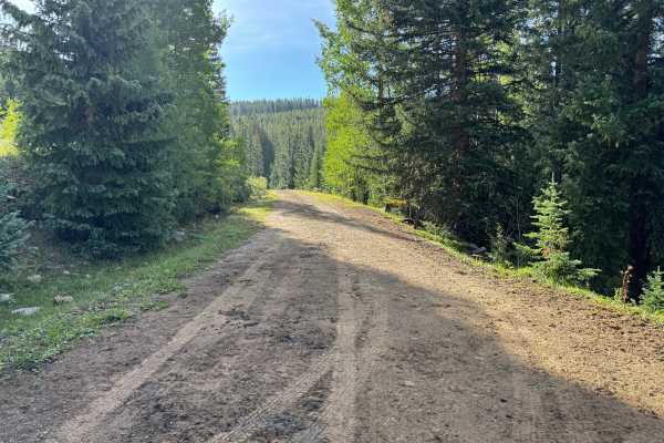
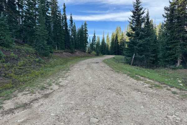
This is a short out-and-back route that provides a slightly rougher drive than Taylor Creek Road. The trail surface consists primarily of packed dirt with scattered loose and embedded rocks, along with sections of exposed soil and occasional grassy areas. Expect mud holes, shallow ruts, potholes, and several larger whoops that create an uneven and bumpy ride. Some sections are relatively smooth, while others show more erosion and vehicle wear. The route travels through the San Juan National Forest, surrounded primarily by dense stands of pine and spruce with grassy openings scattered between the trees. Open ranching is permitted in the area, so cattle may be encountered on or near the trail. Overall, this is a short, scenic forest route with moderate surface deterioration but no major technical rock obstacles.
Difficulty
Mostly packed dirt with scattered loose and embedded rocks, shallow ruts, mud holes, potholes, and several larger whoops that create a rougher and more uneven ride. There are no major rock ledges or technical obstacles, but some sections require slower speeds and careful tire placement due to erosion and deeper depressions. Muddy conditions could increase the difficulty after rain or snowmelt. The route is generally wide enough for a full-size vehicle, although it narrows in some forested sections. A stock high-clearance 4x4 should have little difficulty under normal dry conditions.
History
The Taylor Creek and Taylor Mesa area has long served as an access corridor into the western San Juan Mountains. Roads across the mesa have supported ranching, livestock grazing, timber management, hunting and other uses of the surrounding National Forest. Taylor Creek Road remains one of the primary Forest Service access routes onto Taylor Mesa and connects with an extensive network of historic and modern backcountry roads. Below the mesa, the Dolores River valley was also an important transportation corridor. The Rio Grande Southern Railroad once followed portions of this valley between Dolores and Rico, and sections of today's CO-145 were later constructed over or alongside the former railroad grade.