Trail Overview
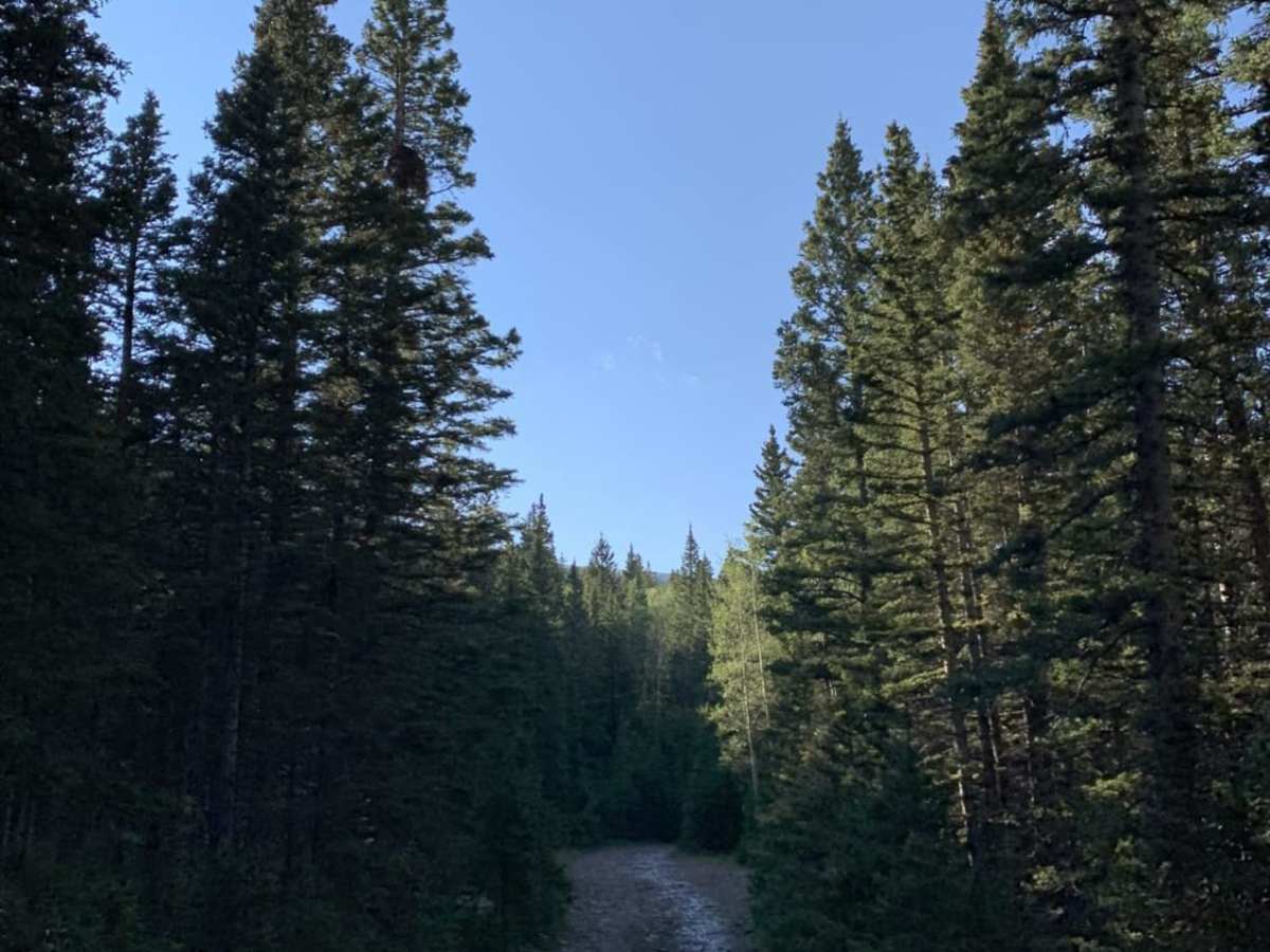
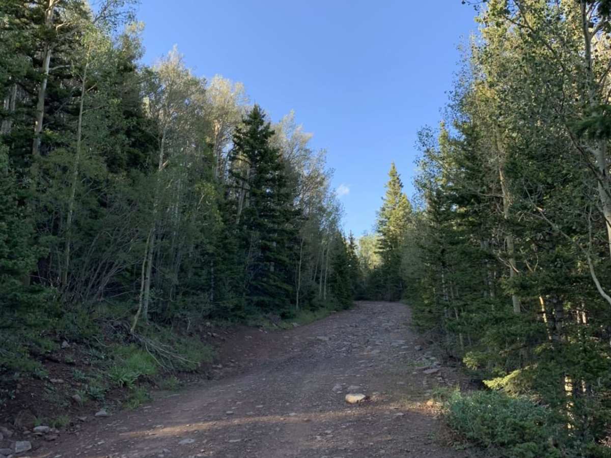
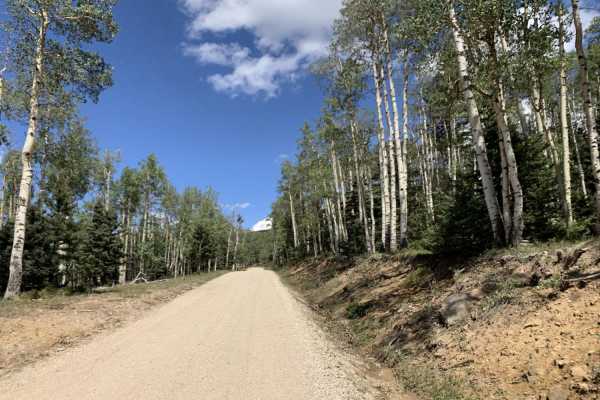
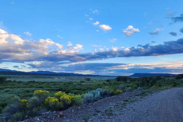
Steep Mountain is an easy, beginner-friendly route perfect for campers and those looking for a quick getaway in the scenic Cuchara area of the San Isabel National Forest. Branching off the popular Blue Lakes Road, this short spur provides access to several quiet, dispersed camping sites nestled among dense stands of pine and aspen. Despite its name, the road is relatively flat and well-graded, making it accessible to almost any vehicle, including standard passenger sedans and two-wheel-drive cars, during the dry summer and fall months. Travelers will enjoy a peaceful forested drive with opportunities to spot local wildlife like mule deer and elk wandering through the underbrush.
The route serves as an excellent basecamp for exploring the surrounding recreation areas, including the nearby Bear Lake and Blue Lakes, which offer exceptional trout fishing, canoeing, and hiking trailheads. While the road is primarily dirt and gravel with no major obstacles, visitors should remain cautious of occasional potholes and mud after heavy rain. High-altitude weather can change rapidly, so checking local forecasts before heading out is highly recommended. Parking is limited to the established campsites and pullouts, and travelers should practice Leave No Trace principles to preserve this pristine mountain environment.
Access Description
The route is managed by the San Carlos Ranger District of the San Isabel National Forest. There are no fees or permits required to drive this road or use the dispersed campsites, but seasonal closures occur during the winter and spring months due to heavy snow.