Southern Wolford Hills Access

Total Miles2.2
Technical Rating
2Easy
Best TimeSpring, Fall, Winter, Summer
Trail TypeFull-Width Road
Accessible By
Open Trail Map

Trail Overview

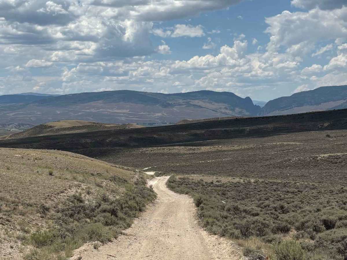
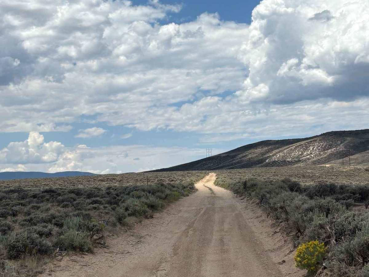
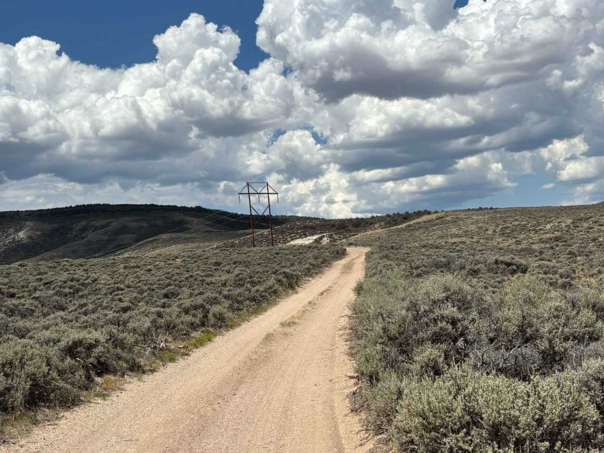
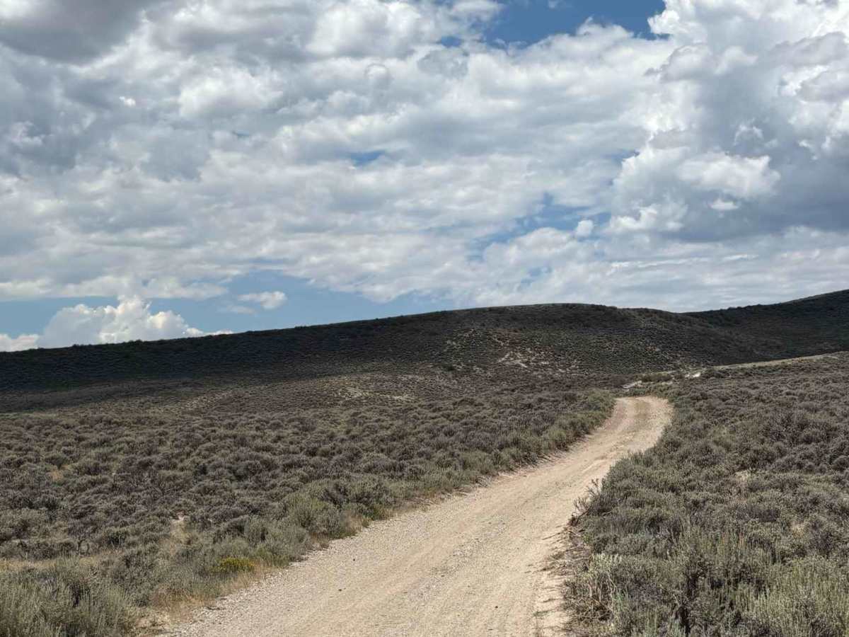
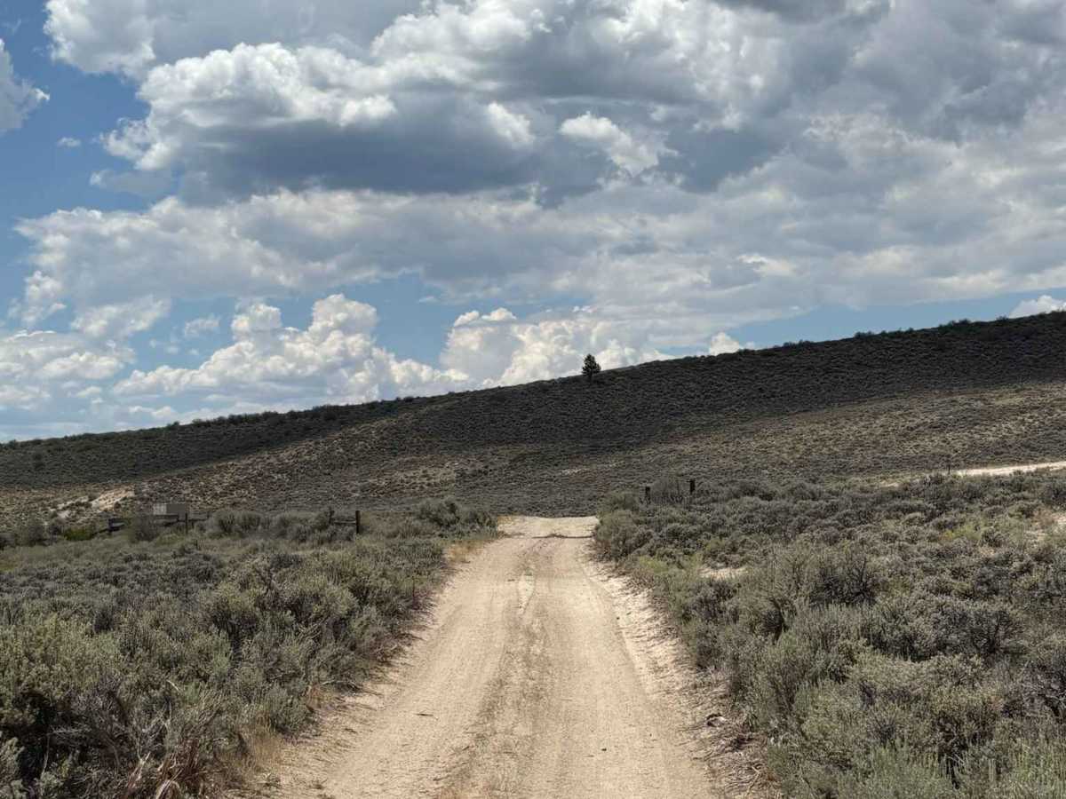
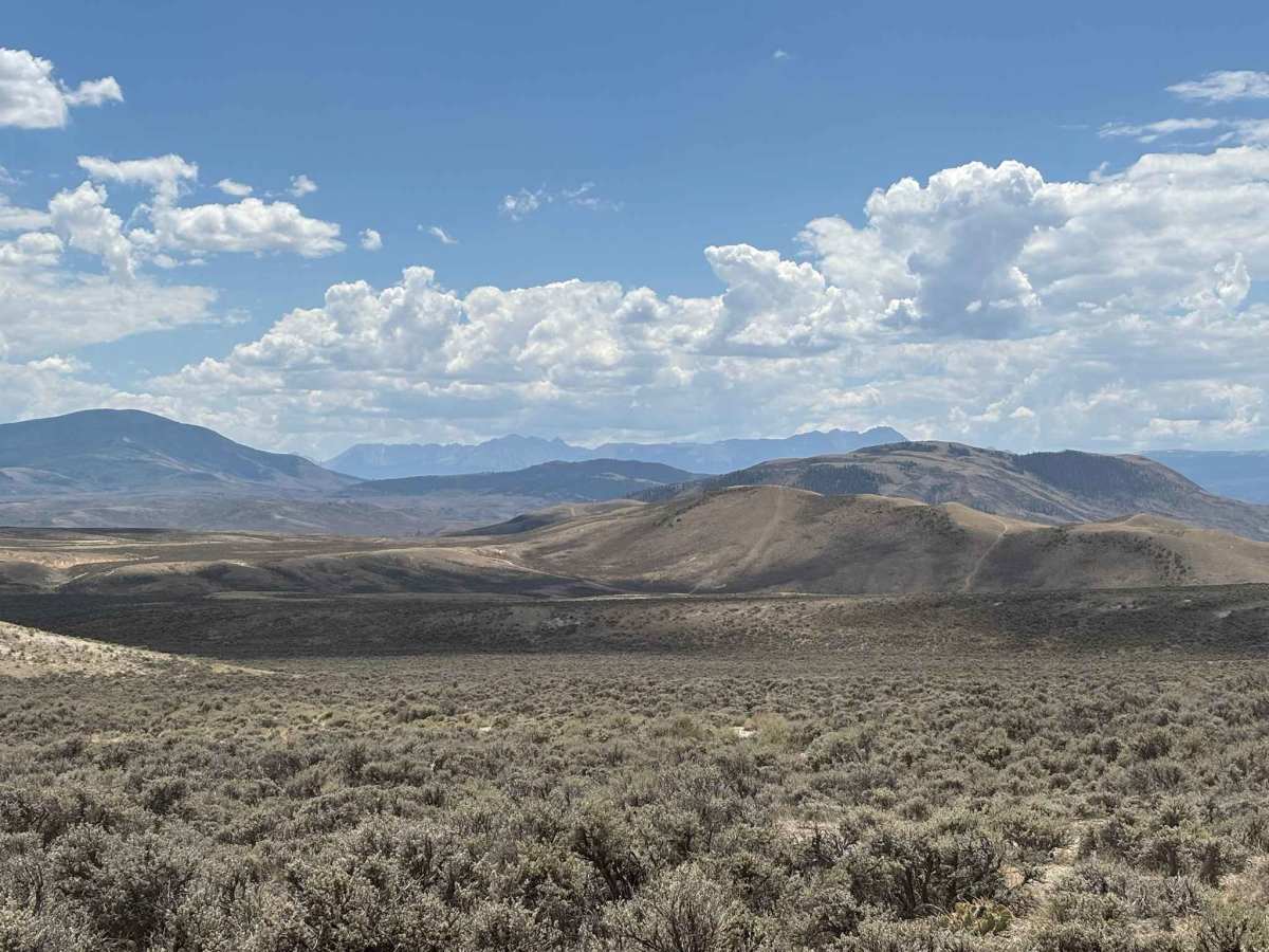
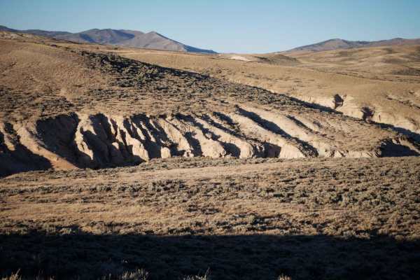
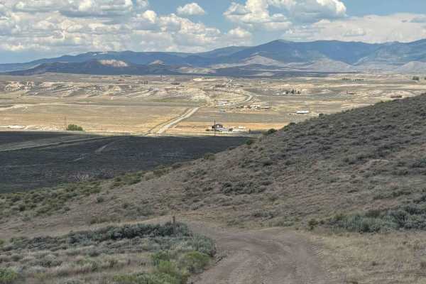
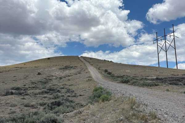
This route leads deeper into the southern foothills and rolling plains surrounding Wolford Mountain and its popular reservoir. Along the way, it offers sweeping views of the surrounding landscape, with expansive vistas of the hills, valleys, and distant mountain peaks. Several easily accessible dispersed campsites are located along the route, making it an excellent choice for establishing a convenient base camp while exploring the area.

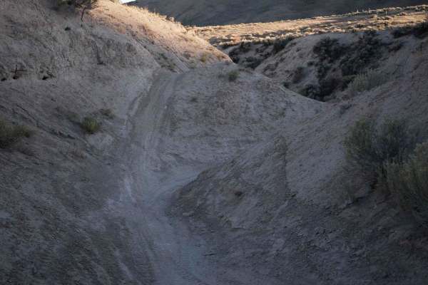
Photos of Southern Wolford Hills Access

Difficulty

Mild rutting and rocky sections

Technical Rating

2

Southern Wolford Hills Access Trail can be accessed by the following ride types:

  • Single Track
  • 50 Inch
  • 60 Inch
  • High Clearance
  • Full Width

Southern Wolford Hills Access Map

The onX Offroad Difference

onX Offroad combines trail photos, descriptions, difficulty ratings, width restrictions, seasonality, and more in a user-friendly interface. Available on all devices, with offline access and full compatibility with CarPlay and Android Auto. Discover what you're missing today!

Open Trail Map